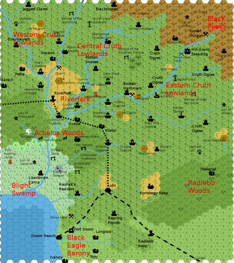
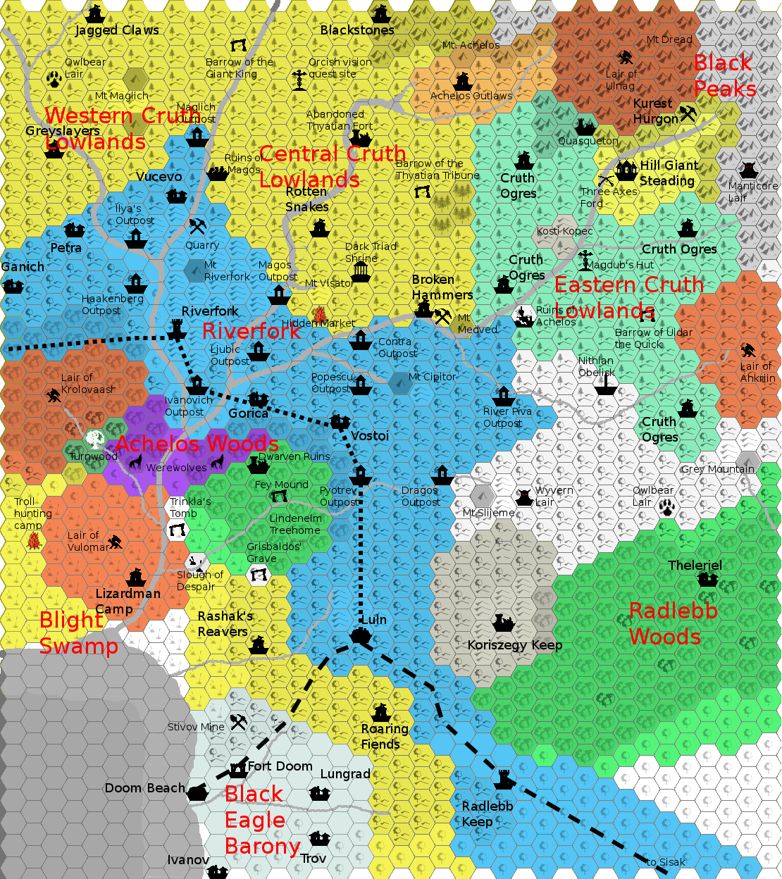
Agathokles’ Cruth Lowlands Political, 2.7 miles per hex
This political map is the companion to Giampaolo’s Cruth Lowlands, 2.7 miles per hex. He included it in his Lords of the Cruth Lowlands PDF. In his post at The Piazza sharing the map, he explained the colours as follows:
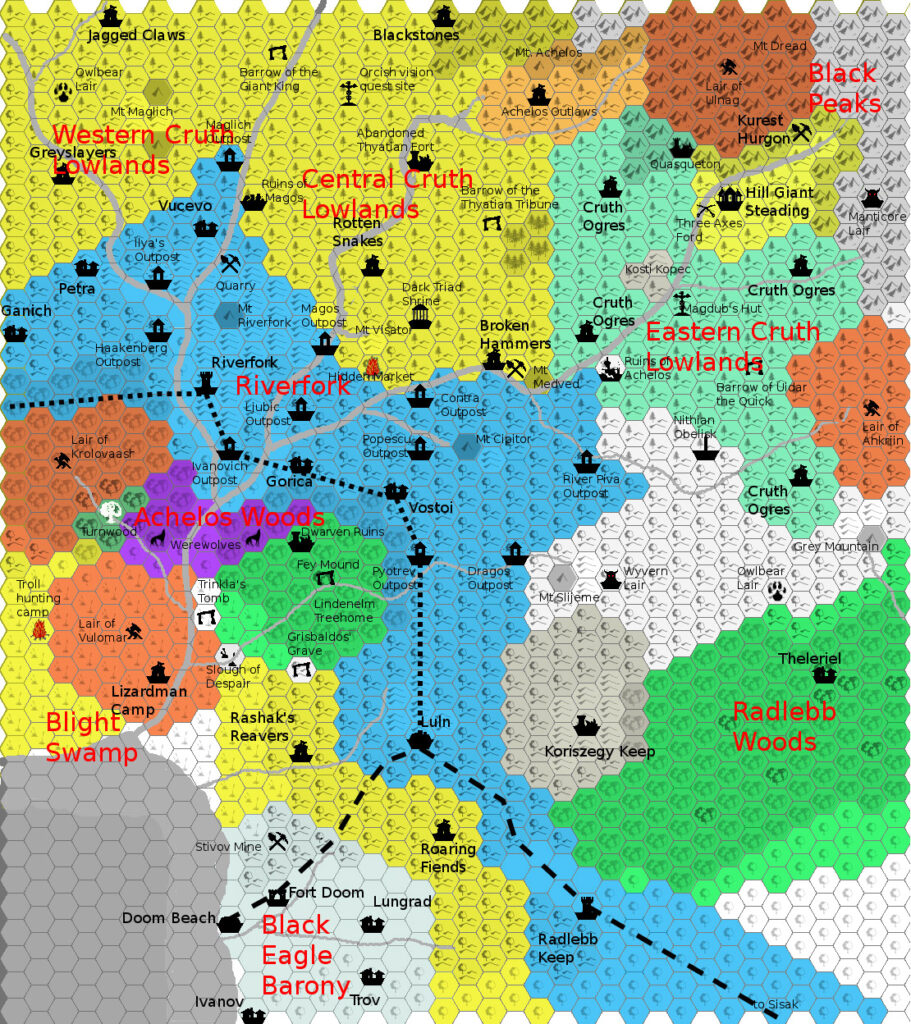
Karameikans are in light blue, Orcs, Giants and Black Eagle goblinoids in light yellow, dragons in brick red, elves, fey and treants in green and werewolves in purple. The Black Eagle, the Sons of Night and Count Koriszegy are in shades of grey. Finally, white areas are contested or given a wide berth by most.
Fan-made Map by Giampaolo Agosta (June 2012)
This is an original map created by one of Mystara’s excellent fan cartographers. For more information on the cartographer, including a gallery of all their maps, see also Appendix M: Mappers of Mystara.
Sources
- GAZ1 The Grand Duchy of Karameikos (1987) (PDF at DriveThruRPG)
- TM1 The Western Countries (1989) (PDF at DriveThruRPG)
- Karameikos: Kingdom of Adventure (1994) (PDF at DriveThruRPG)
Fan Sources
- Goblinoid Tribes of Karameikos by Giampaolo Agosta (January 2008) (Vaults of Pandius)
- Agathokles’ Karameikos, 3.2 miles per hex (October 2009)
- Agathokles’ Karameikos Political, 3.2 miles per hex (October 2009)
- Map of Karameikos at 3.2 miles/hex discussion thread (October 2009) (The Piazza)
- Map of Karameikos at 3.2 miles/hex by Giampaolo Agosta (October 2009) (Vaults of Pandius)
- Map of the Tribes of Karameikos from The Piazza (October 2009) (Vaults of Pandius)
- Cruth Lowlands map discussion thread (March 2012) (The Piazza)
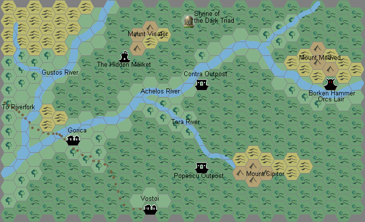
- Agathokles’ Cruth Lowlands, 2.7 miles per hex (March 2012)
- Lords of the Cruth Lowlands by Giampaolo Agosta (July 2012)
References
- All of Giampaolo’s maps at the Atlas of Mystara
- Giampaolo’s entry in Appendix M: Mappers of Mystara (upcoming)
- Giampaolo’s author page at the Vaults of Pandius
Chronological Analysis
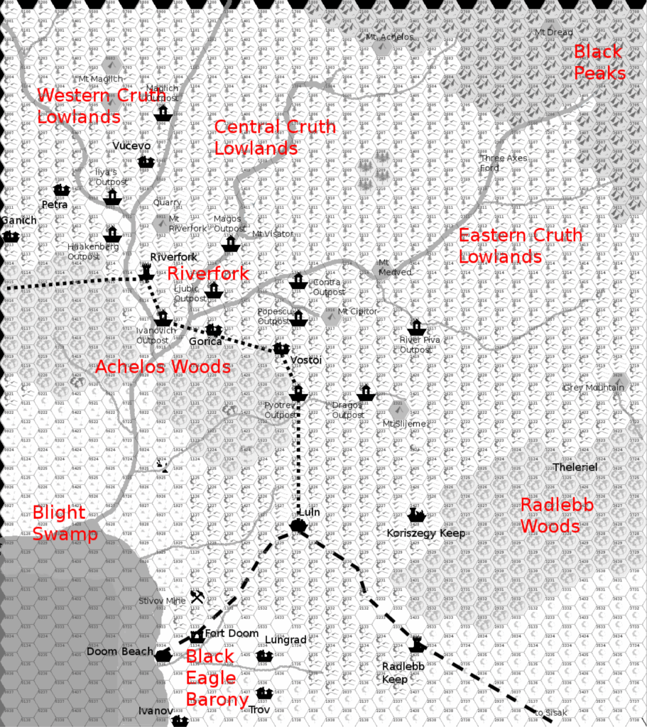
This is a fan-made map. It was published in June 2012. The updated Atlas version of this map is not yet available. See also Appendix C for annual chronological snapshots of the area. For the full context of this map in Mystara’s publication history, see the upcoming Let’s Map Mystara 2012.
The following lists are from the Let’s Map Mystara project. Additions are new features, introduced in this map. Revisions are changes to previously-introduced features. Hex Art & Fonts track design elements. Finally, Textual Additions are potential features found in the related text. In most cases, the Atlas adopts these textual additions into updated and chronological maps.
Under Construction! Please check back again soon for updates.