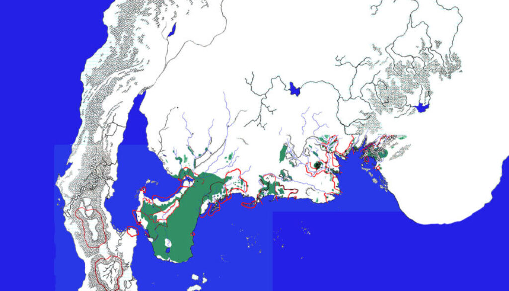
Anondson’s Western Brun
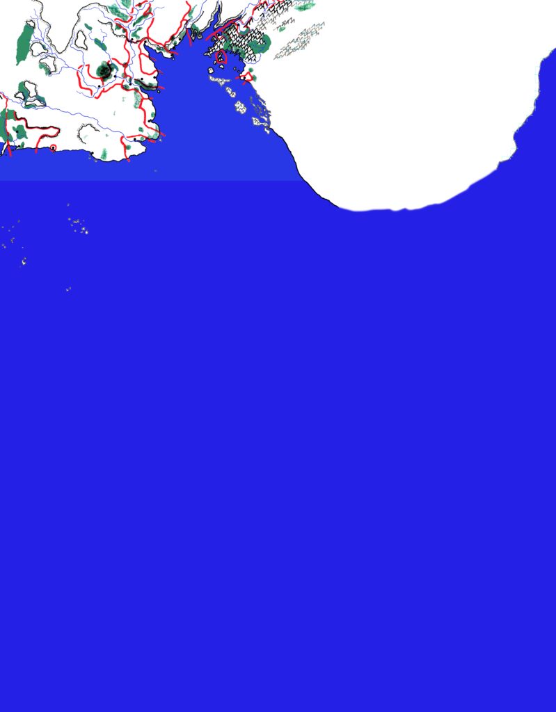
Inspired by Red Steel, Eric worked on this hand-drawn map of Western Brun in the mid-1990s. He talks about it in his Mappers of Mystara article.
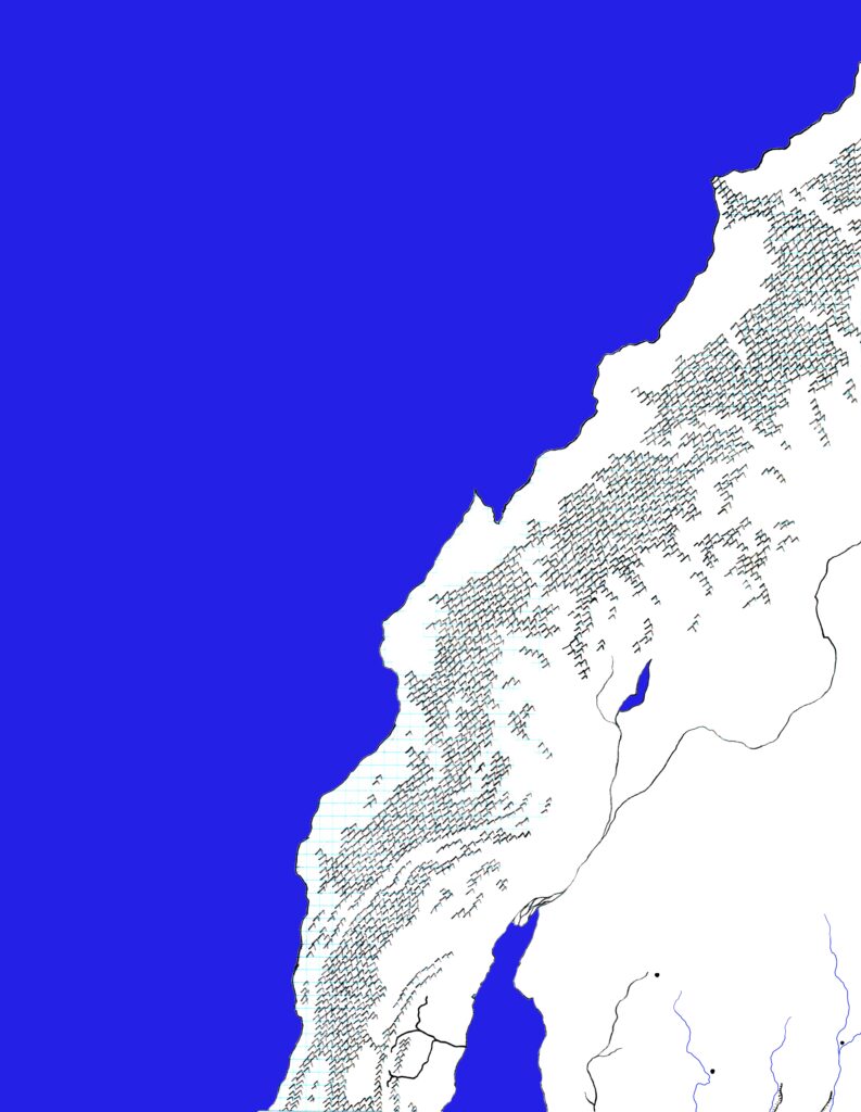
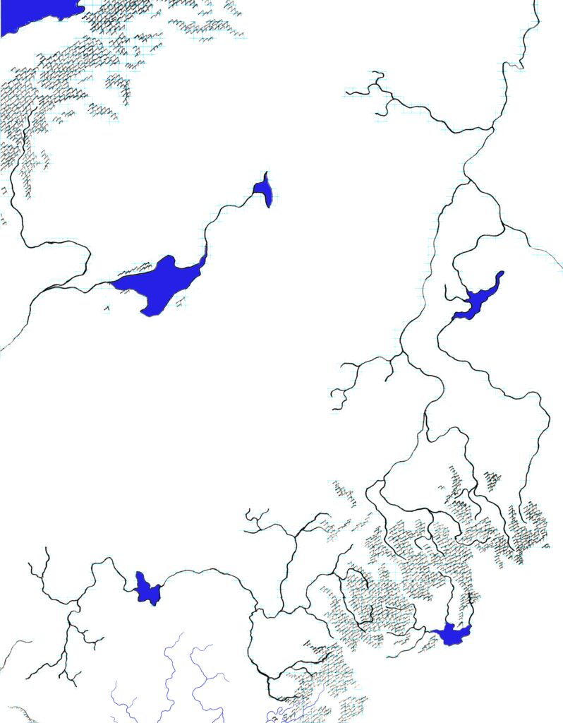
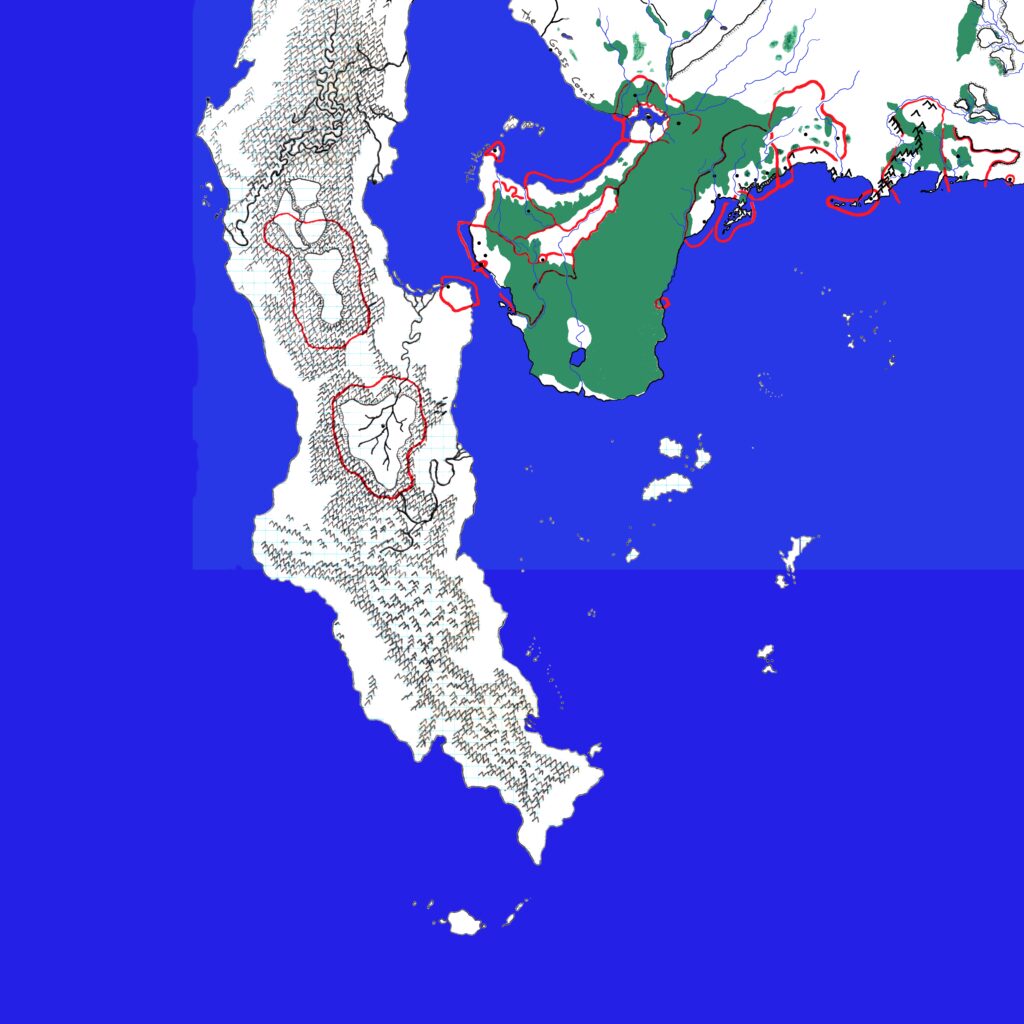
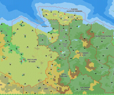
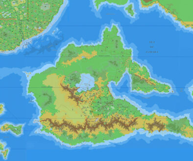
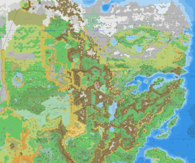
These scans are digitally enhanced versions of the original map, which came in four parts. They don’t quite fit together properly, but I have done the best I could to assemble a contiguous version.
Unlike many fan-made maps of this region, Eric seems to have based his terrain primarily on the Companion Set map of Brun. The river system in the northeast is entirely his own invention, logically extending the drainage north of the Black Mountains that was featured on the edge of X4’s Great Waste map.
Fan-made Map by Eric Anondson (originally mid-1990s)
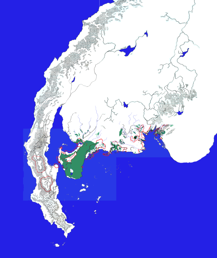
Work in progress map: This map is incomplete. It appears here in the most recent state available, but it may be missing certain elements.
Fan-made Maps by Eric Anondson (scanned March 2021)
This is an original map created by one of Mystara’s excellent fan cartographers. For more information on the cartographer, including a gallery of all their maps, see also Appendix M: Mappers of Mystara.
Sources
- Red Steel (1994) (PDF at DriveThruRPG)
- Savage Baronies (1995) (PDF at DriveThruRPG)
References
- All of Eric’s maps at the Atlas of Mystara
- Eric’s entry in Appendix M: Mappers of Mystara
- Eric’s author page at the Vaults of Pandius
Chronological Analysis
These are fan-made maps. They were created in the mid-1990s, and the scans date to March 2021. The assembled version is from September 2023.
The following lists are from the Let’s Map Mystara project. Additions are new features, introduced in this map. Revisions are changes to previously-introduced features. Hex Art & Fonts track design elements. Finally, Textual Additions are potential features found in the related text. In most cases, the Atlas adopts these textual additions into updated and chronological maps.
Coming Soon

