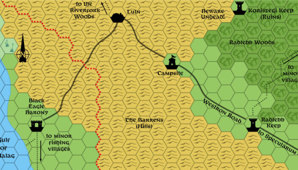
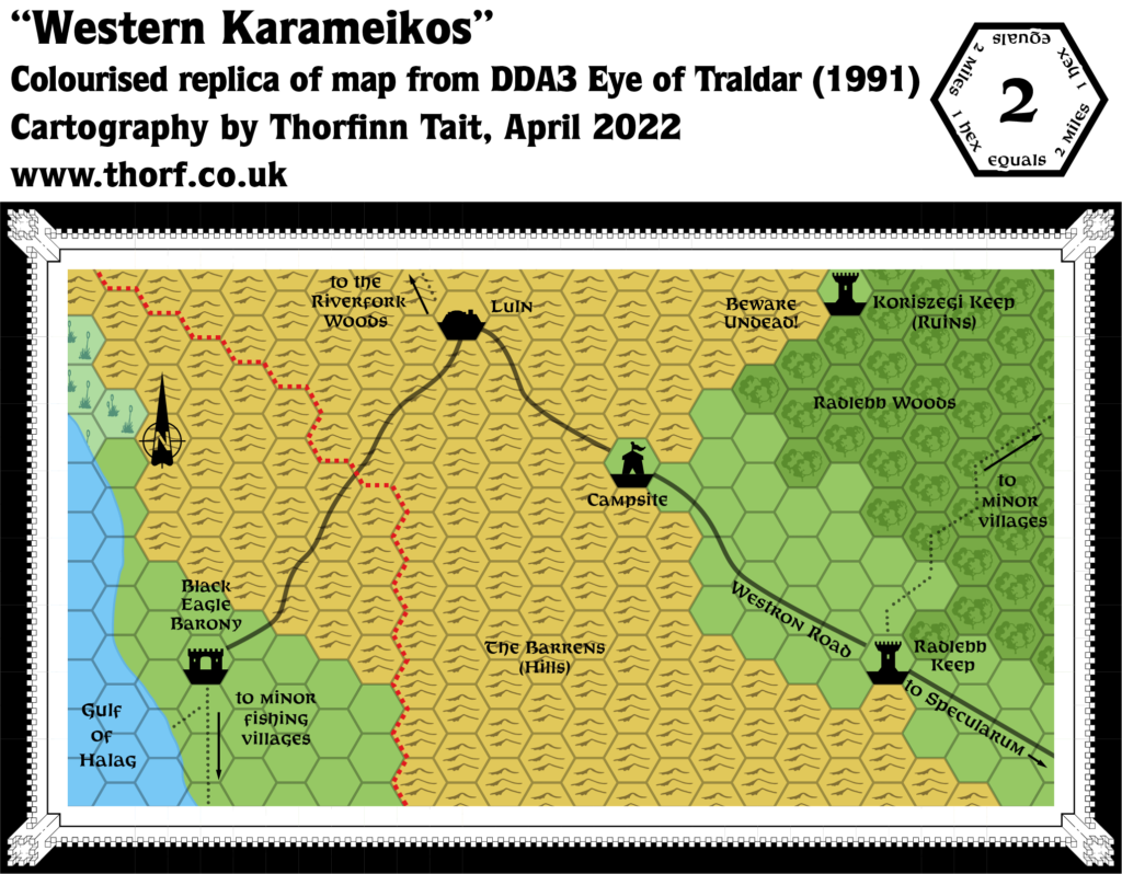
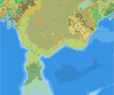
DDA3 Western Karameikos, 2 miles per hex
1991’s Eye of Traldar adventure provided this close-up view of the area around Luln and the Black Eagle Barony. It only shows what was important for the adventure, and therefore is somewhat lacking in detail, but it nevertheless adds a few nice things to the region, which is among the oldest sections of Mystara.
Replica Map (April 2022)
Sources
- DDA3 Eye of Traldar (1991) (PDF at DriveThruRPG)
- Page 18 map (Cartographer unknown)
Chronological Analysis
This is Map 170. It was published in 1991. The updated version of this map has not yet been released. See also Appendix C for annual chronological snapshots of the area. For the full context of this map in Mystara’s publication history, see Let’s Map Mystara 1991.
The following lists are from the Let’s Map Mystara project. Additions are new features, introduced in this map. Revisions are changes to previously-introduced features. Hex Art & Fonts track design elements. Finally, Textual Additions are potential features found in the related text. In most cases, the Atlas adopts these textual additions into updated and chronological maps.
Coming Soon

