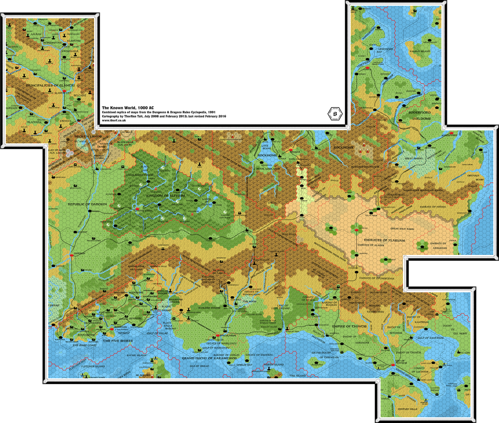
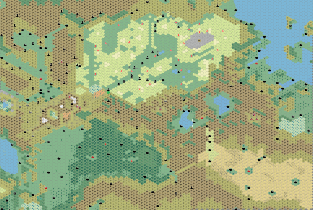
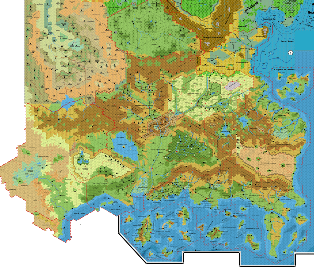
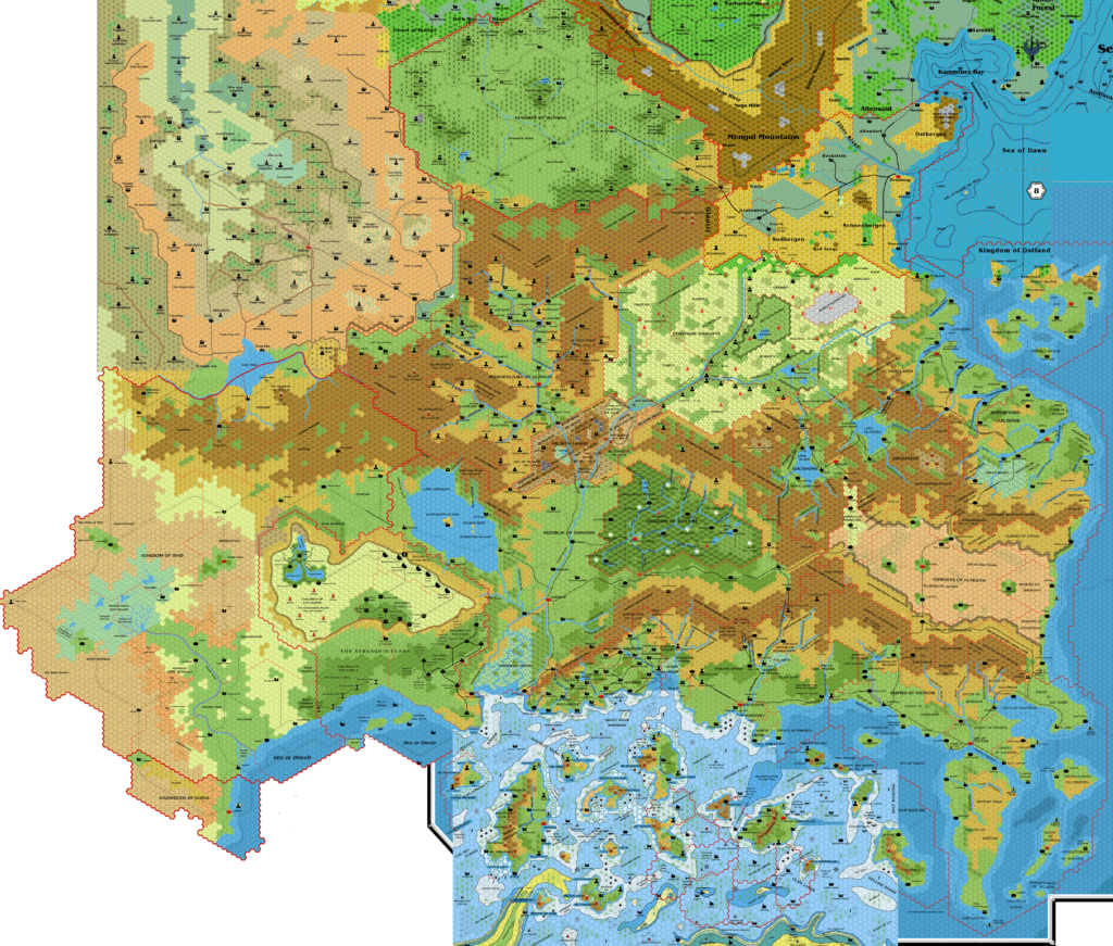
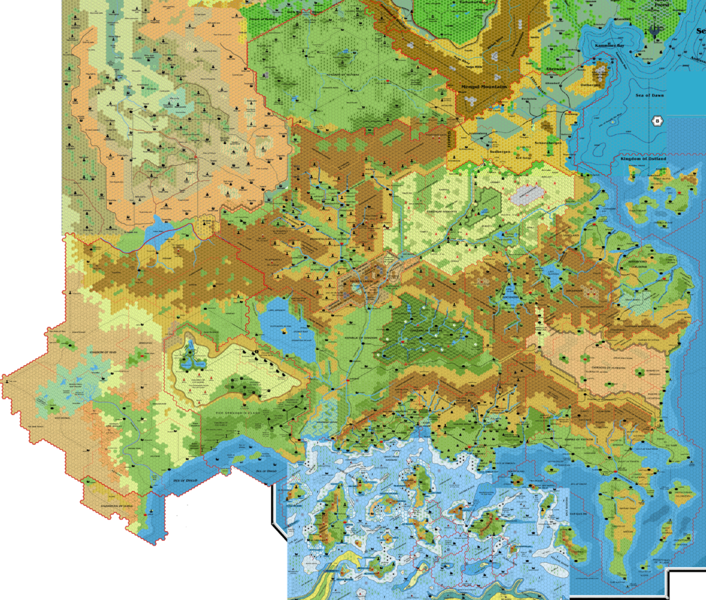
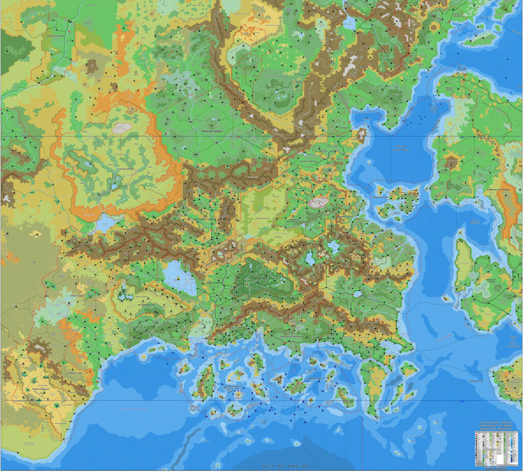
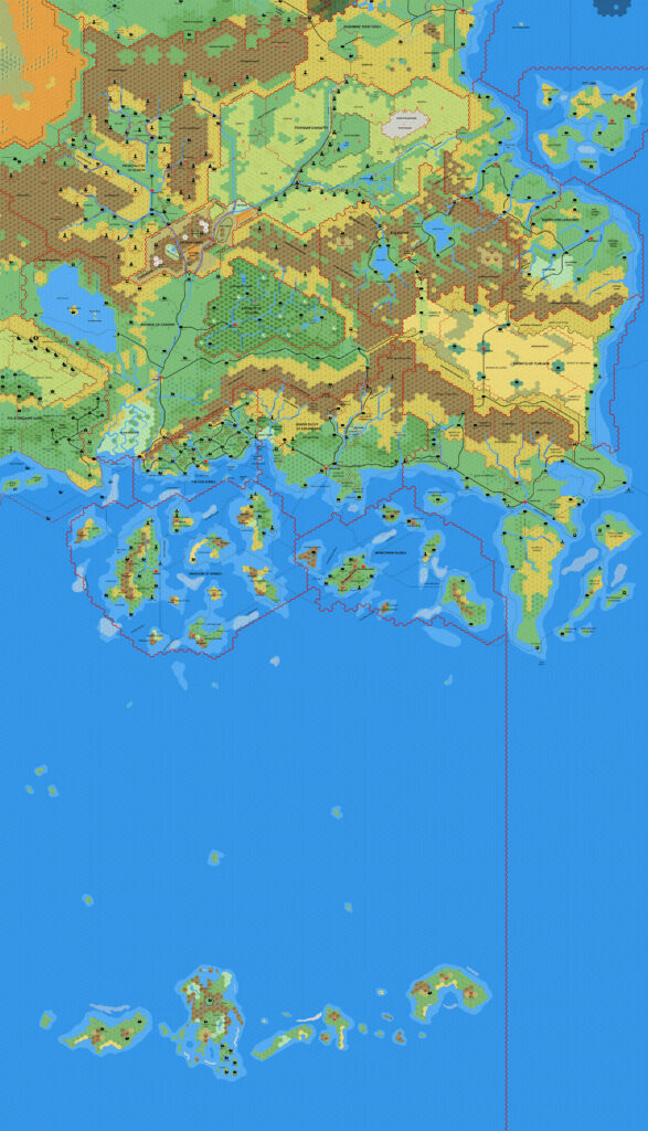
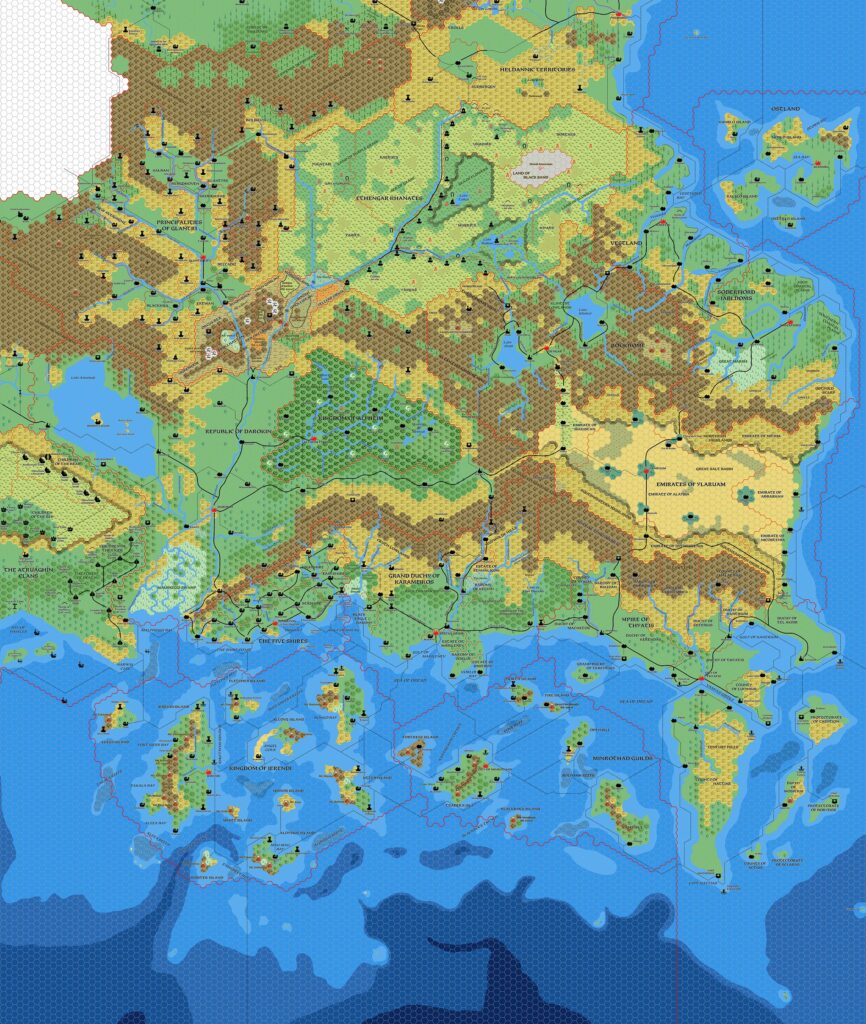
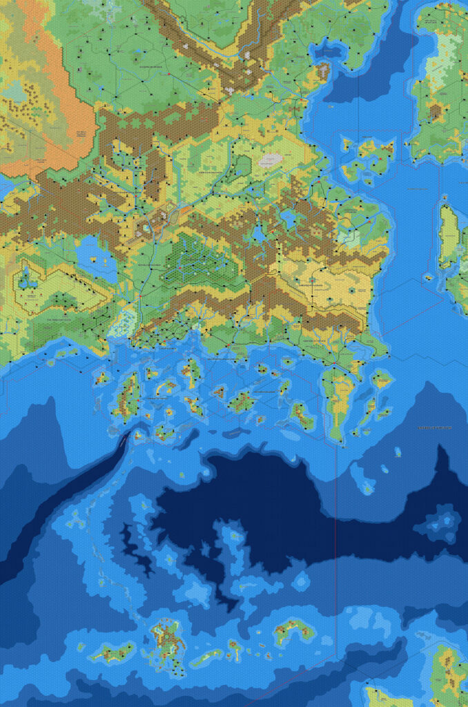
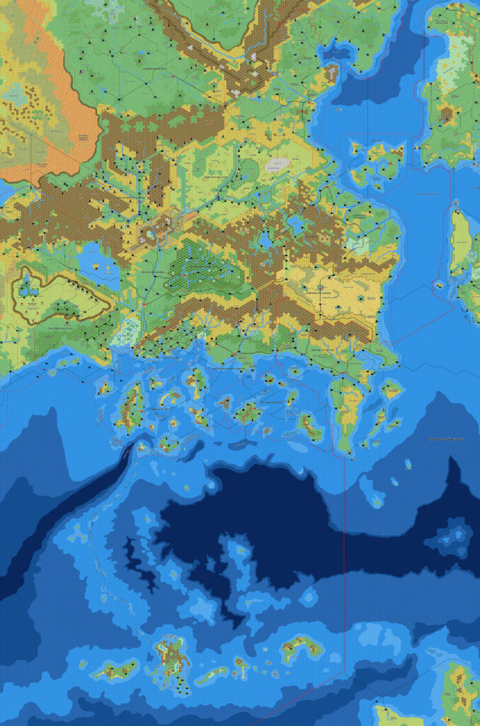
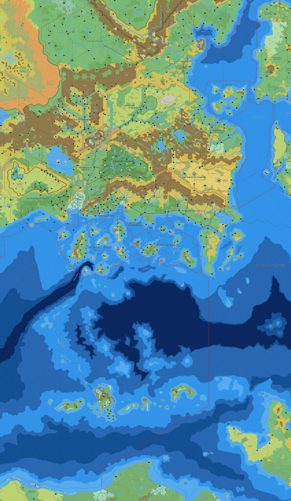
Known World, 8 miles per hex
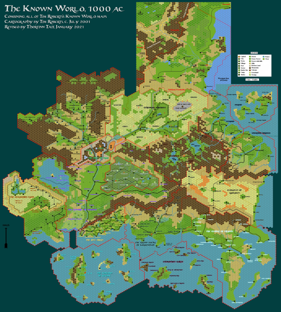
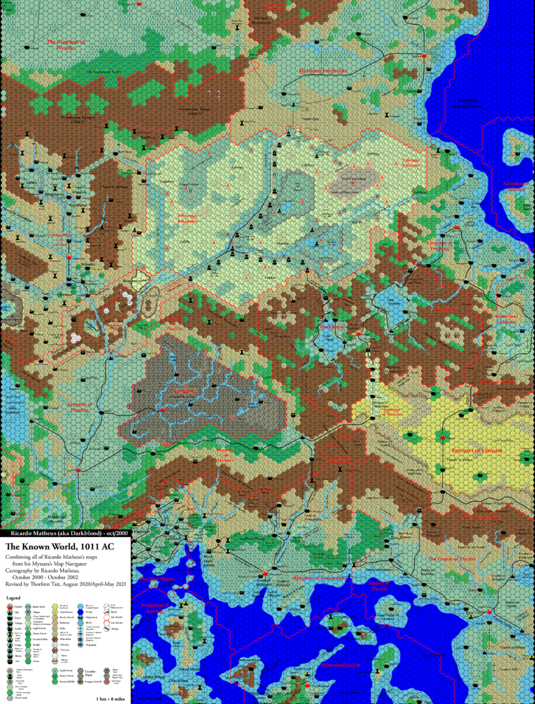
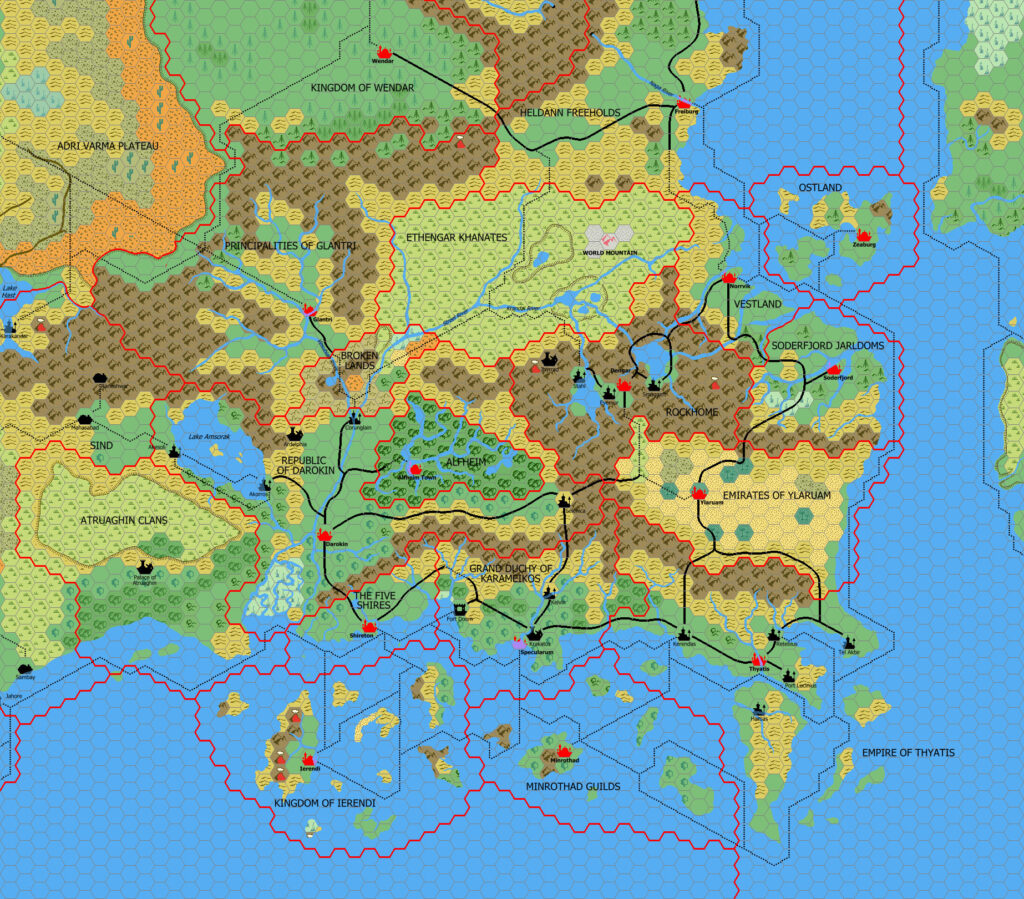
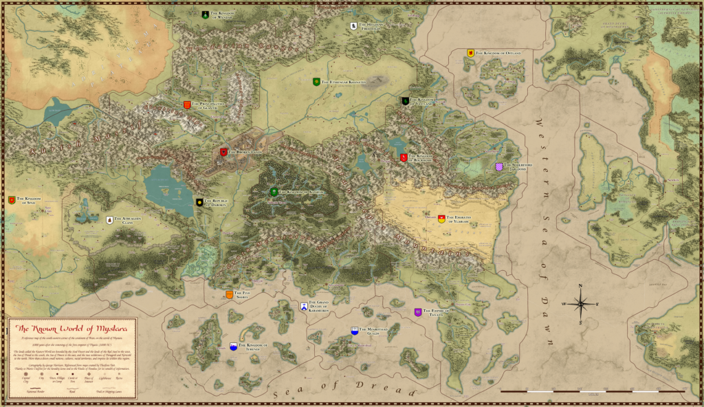
The inhabitants of Karameikos and the nations nearby call their lands the Known World, which is bounded by the Sind Desert and the lands of the Red Steel to the west, the Sea of Dread to the south, the Sea of Dawn to the east, and the vast wilderness of Denagoth and Norwold to the north. More than a dozen small nations, cultures, racial territories, and empires lie within this region, all seeking their own destinies.
Karameikos: Kingdom of Adventure Explorer’s Guide, by Jeff Grubb and Aaron Allston
Trail Map (December 2020)
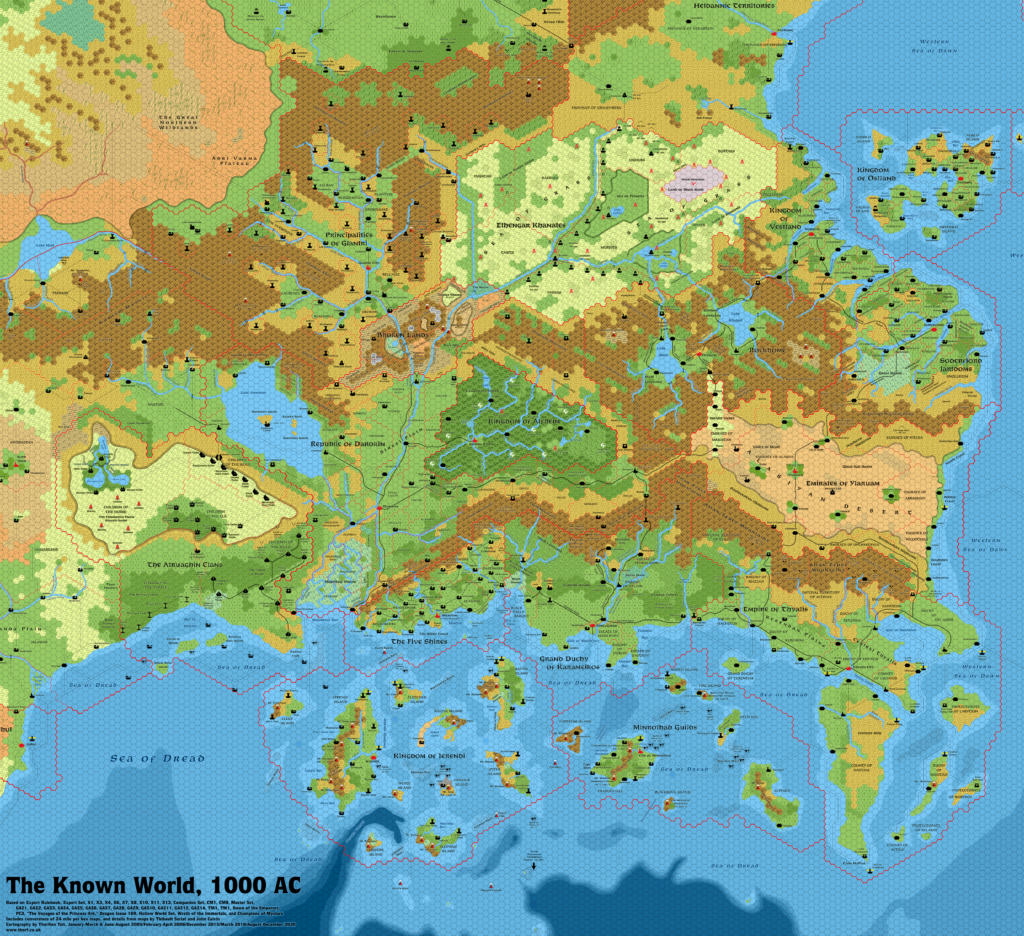
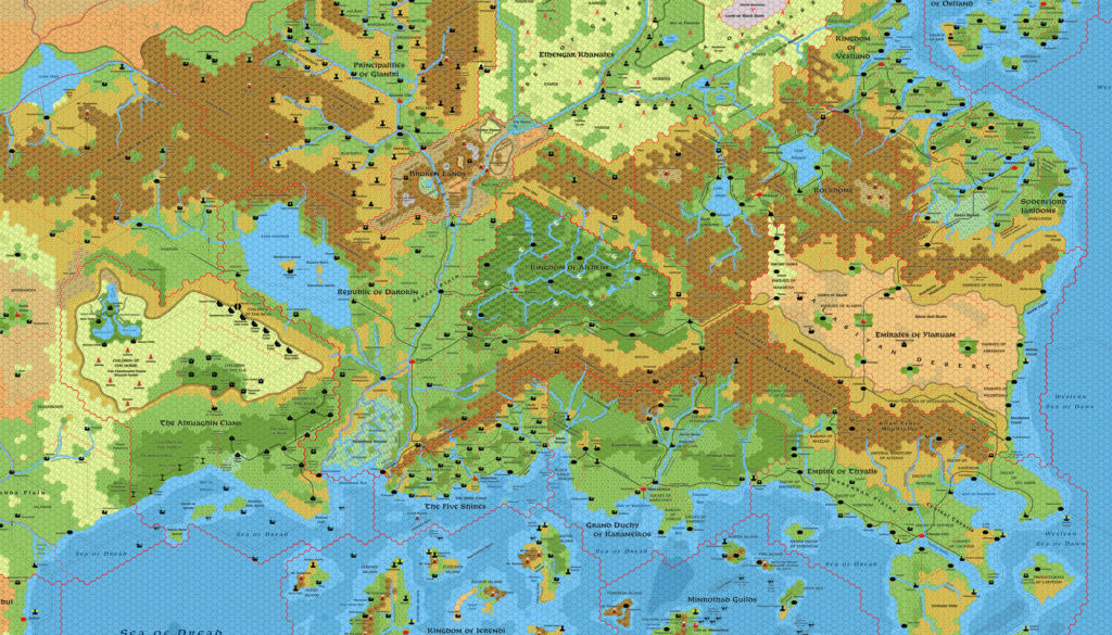
One (or more) of the maps linked to above is a lower resolution version. You can download the full size version using the following link (right click and choose “Save Link As…”).
Mobile Users: Note that it may not be possible to view the full resolution image on your device.
Known World Trail Map, 8 miles per hex (300 DPI)
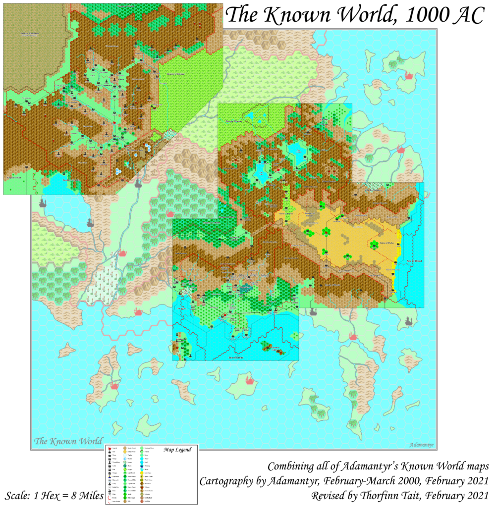
This Trail Map combines a number of other Atlas of Mystara Updated Maps. Consequently, the Sources and Notes sections below deal only with extra-national features not included in any of the component maps. For the original sources and notes of each nation, please refer to the article for that nation.
Component Maps
- Adri Varma Plateau, 8 miles per hex
- Alfheim, 8 miles per hex
- Atruaghin, 8 miles per hex
- Broken Lands, 8 miles per hex
- Darokin, 8 miles per hex
- Ethengar, 8 miles per hex
- Five Shires, 8 miles per hex
- Glantri, 8 miles per hex
- Heldann, 8 miles per hex
- Ierendi, 8 miles per hex
- Karameikos, 8 miles per hex
- Minrothad, 8 miles per hex
- Northern Reaches, 8 miles per hex
- Rockhome, 8 miles per hex
- Sind, 8 miles per hex
- Thyatis, 8 miles per hex
- Wendar, 8 miles per hex
- Ylaruam, 8 miles per hex
Sources
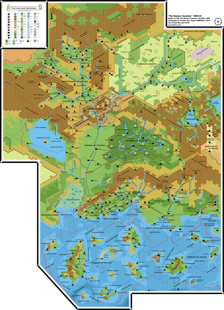
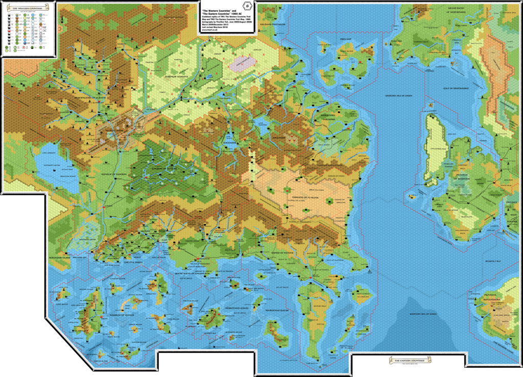
- TM1 The Western Countries (1989) (PDF at DriveThruRPG)
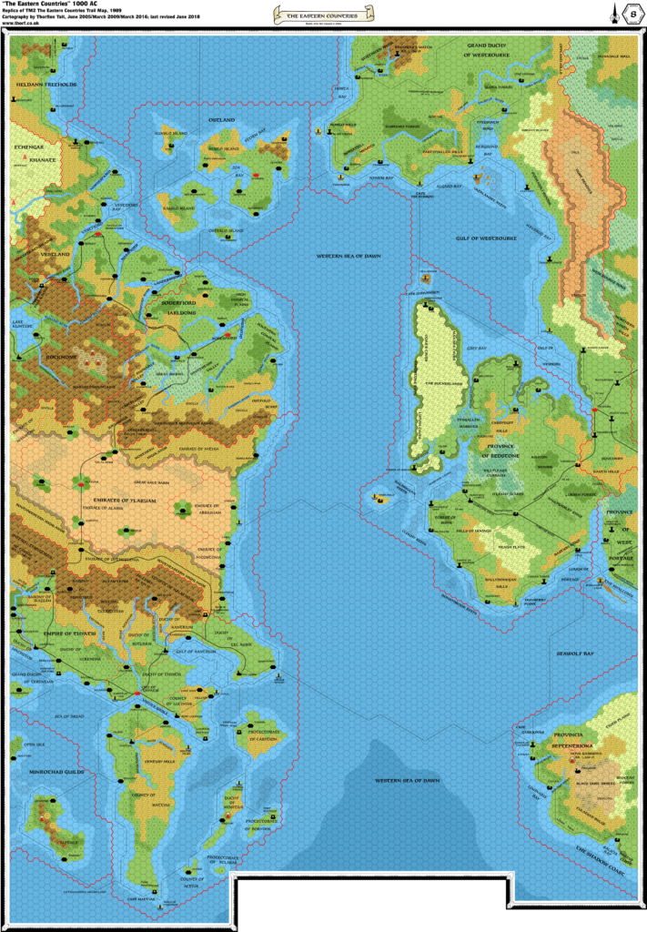
- TM2 The Eastern Countries (1989) (PDF at DriveThruRPG)
- Dawn of the Emperors (1989) (PDF at DriveThruRPG)
Secondary Sources
- John Calvin’s Sea of Dread, 8 miles per hex
Comments
The Known World is the best known and most detailed area of Mystara. Located in southeastern Brun, it consists of the countries of Alfheim, Atruaghin, the Broken Lands, Darokin, Ethengar, the Five Shires, Glantri, Ierendi, Karameikos, Minrothad, Ostland, Rockhome, Soderfjord, Thyatis, and Vestland. Heldann, Sind, and Wendar are considered to be borderline countries.
Origins of the Known World Trail Map
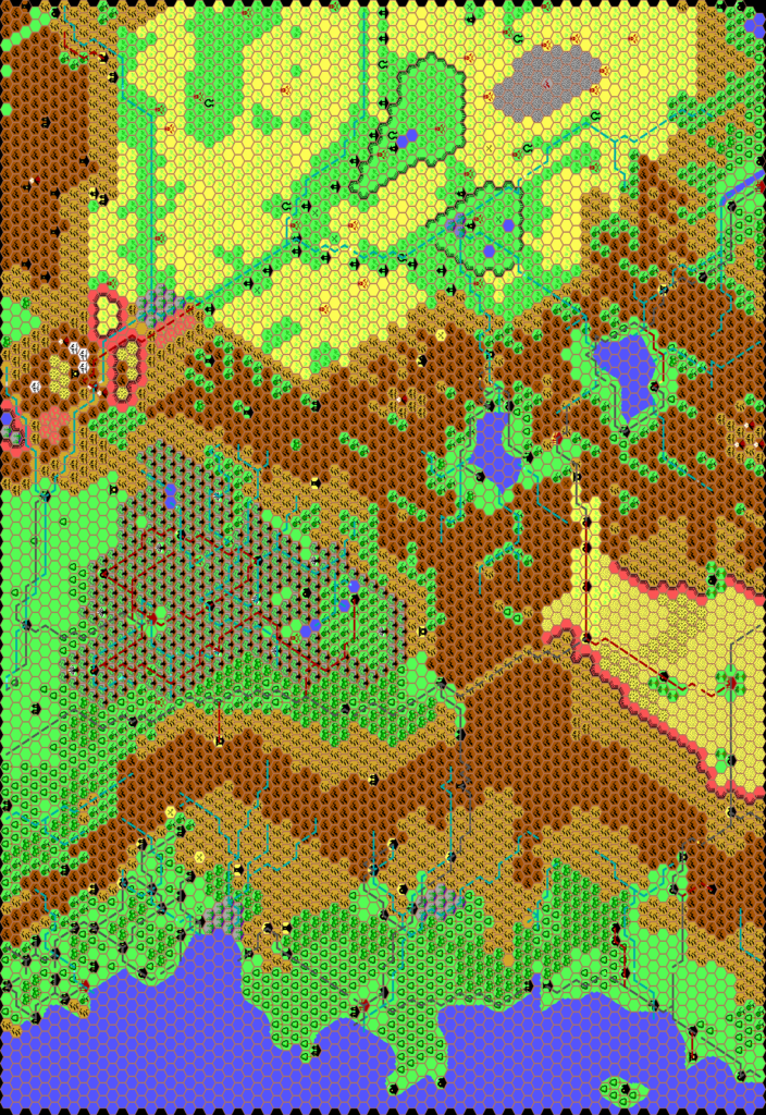
The Known World originated with the 24 mile per hex X1 (1981) map, which established the Known World area, and also featured the Sea of Dread area to the south. These original maps remained the unchanging keystone of the setting throughout the Gazetteer era, and did not get significant updates until the release of Wrath of the Immortals in 1992.
In 1985, X10 presented the first complete view of the Atruaghin Plateau.
Parts of Karameikos and Alfheim appeared at larger scales in various products, most notably B10 and CM7 in 1986.
The Gazetteer Era
Then, starting in 1987, the Gazetteer series developed the area extensively at the 8 mile per hex scale in the Gazetteer series, culminating in the compiled Trail Maps, TM1 and TM2, in 1989. All of the 8 mile per hex maps were based on the original 24 mile per hex X1 map, although they didn’t always take into account the larger scale maps previously developed.
Also in 1989, Dawn of the Emperors presented the first 72 mile per hex overview map of the Known World and surrounding areas, expanding the hex-mapped area of the world based on the continental and world maps introduced in the Companion and Master Sets.
The Rules Cyclopedia reprinted excerpts from the Trail Maps, alongside a 24 mile per hex Known World overview map that was largely the same as the original X1 map, and mostly did not reflect the massive developments that had taken place over the previous nine years.
Some of these developments appeared at last in the new 24 mile per hex map in Wrath of the Immortals, but unfortunately this also resulted in some errors creeping in at the same time.
Wrath of the Immortals included another Known World map: the only official map made at the rather peculiar 48 miles per hex scale. It is one of the only maps to show the distribution of evergreen versus deciduous forest hexes in the Known World. Evergreen forest hex art was introduced in Wrath of the Immortals, so despite its slightly strange scale this map is a very useful source.
Notes
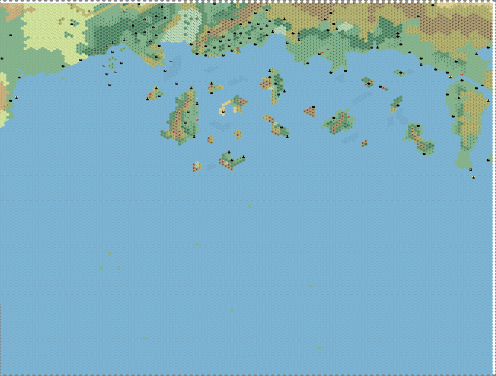
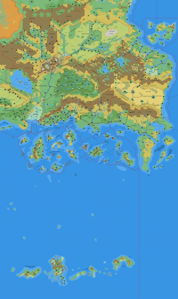
- Sea of Dread — The Atlas version of the Sea of Dread south of Ierendi and Minrothad is tentatively based on John Calvin’s excellent Sea of Dread map. Future versions of this map will use Let’s Map Mystara to revise the area.
References
- The Known World at the Vaults of Pandius
- Known World, 8 miles per hex discussion thread at The Piazza
Thanks to:
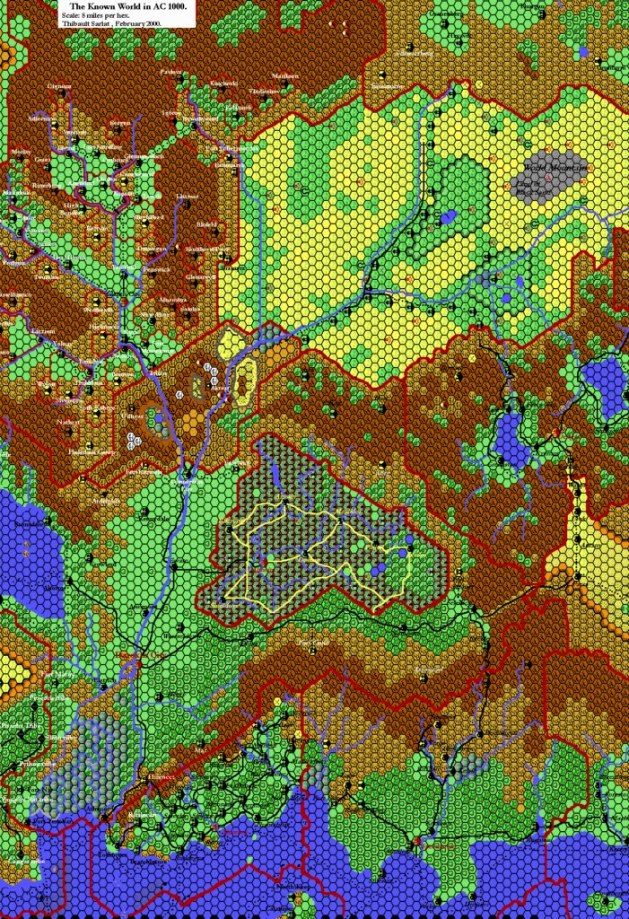
Bruce Heard, and the entire Mystara community for making this map possible. Special thanks to my fellow Mystaran mappers who tread these same trails: Jason Hibdon, Mark Howard, Jose Ignacio Ramos Lomelin, Ricardo Matheus, Tim Roberts, and of course Thibault Sarlat. All of these esteemed cartographers have dared to map out the Known World at 8 miles per hex, and I am honoured to be counted among their ranks.


26 December 2020 @ 12:00 am
Great work! A real cartography treat for Christmas!
23 December 2021 @ 2:21 am
There is an overlay error in the bottom center of the map. The overlay does not line up with the rest of the map, and some of the text is obscured (the word “miles” is the text that says “To the Thanegioth Archipelago, Approx. 580 miles.”