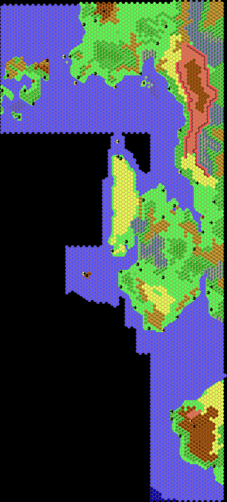
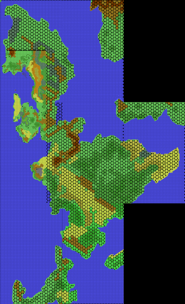
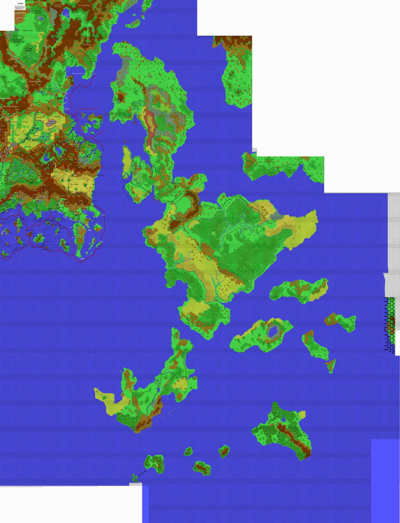
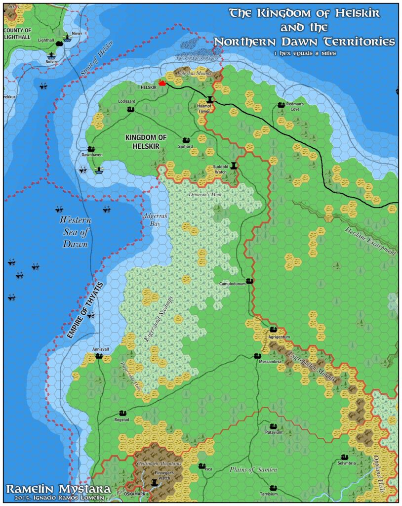
Ramelin’s Helskir, 8 miles per hex
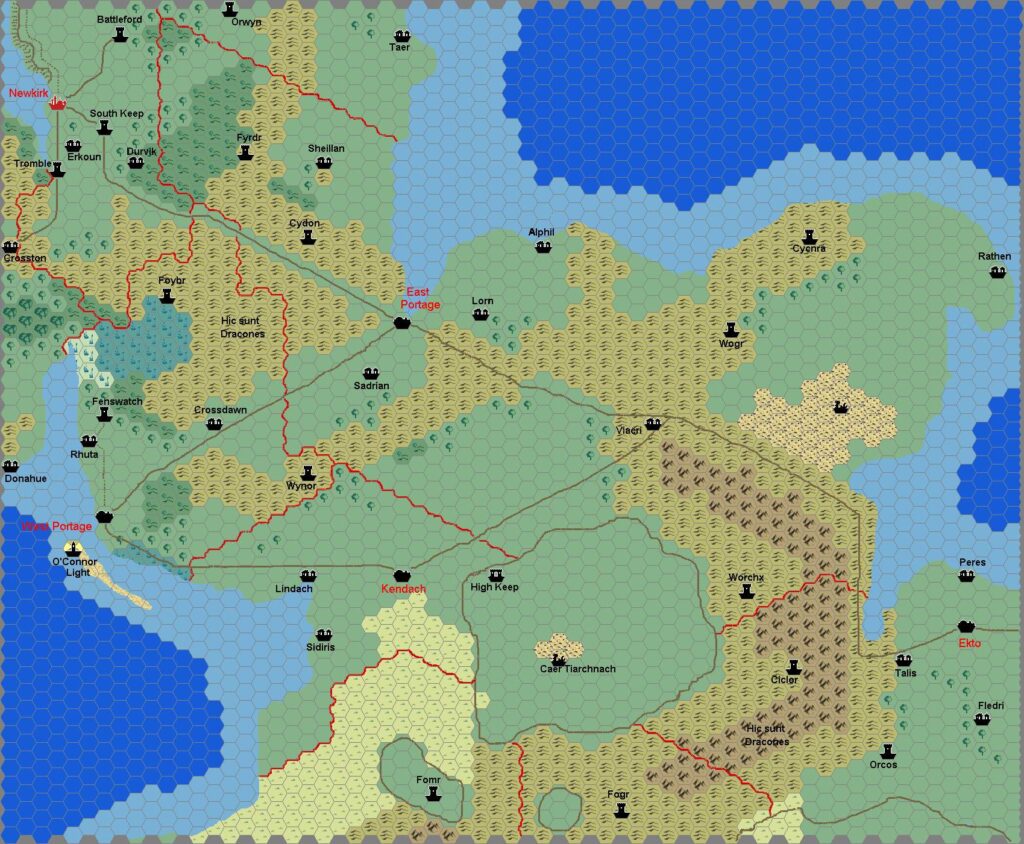
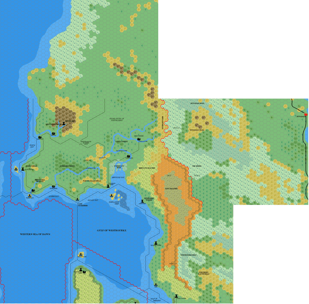
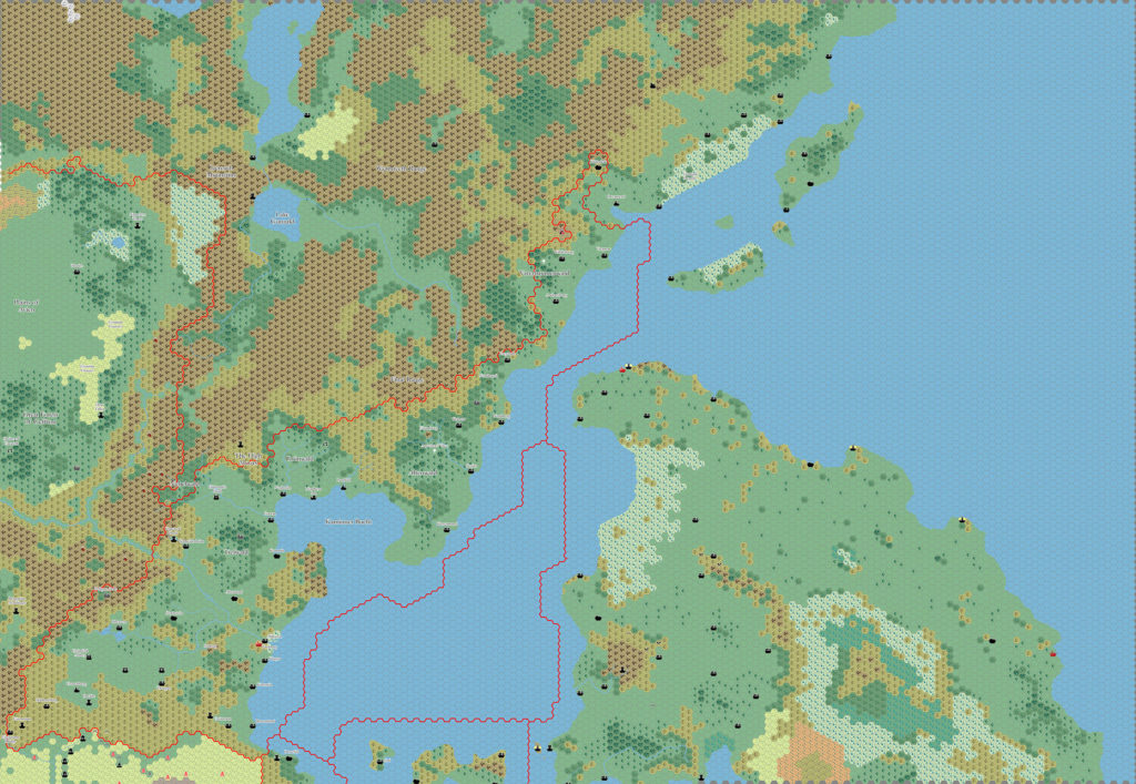
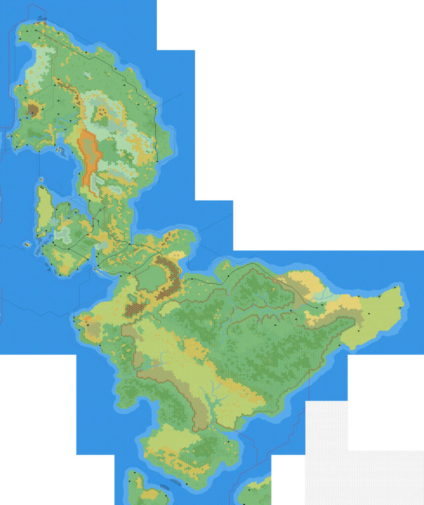
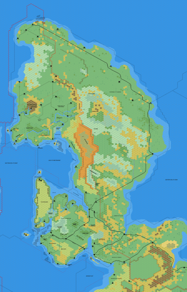
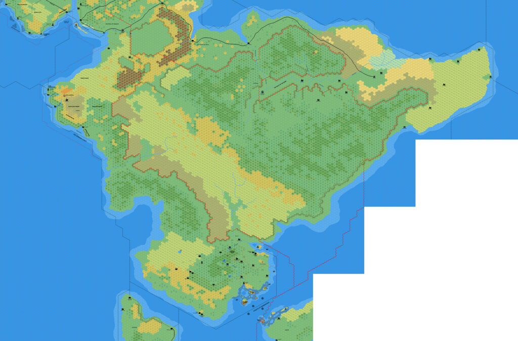
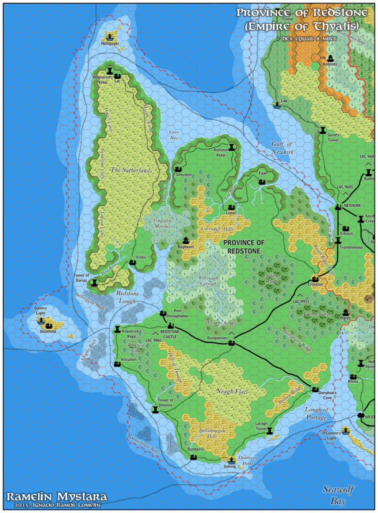
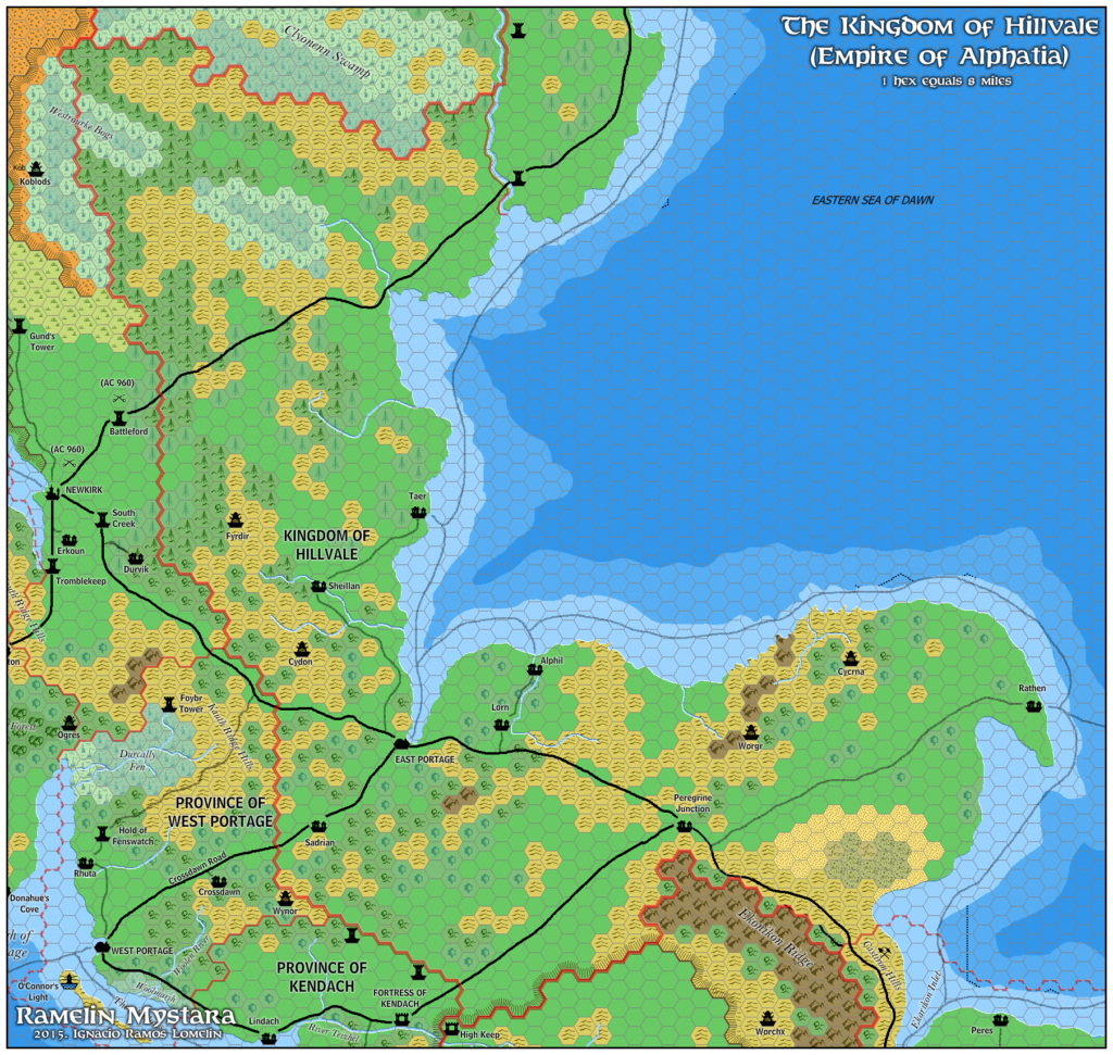
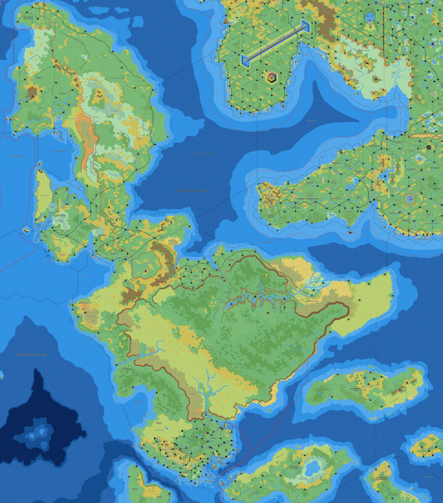
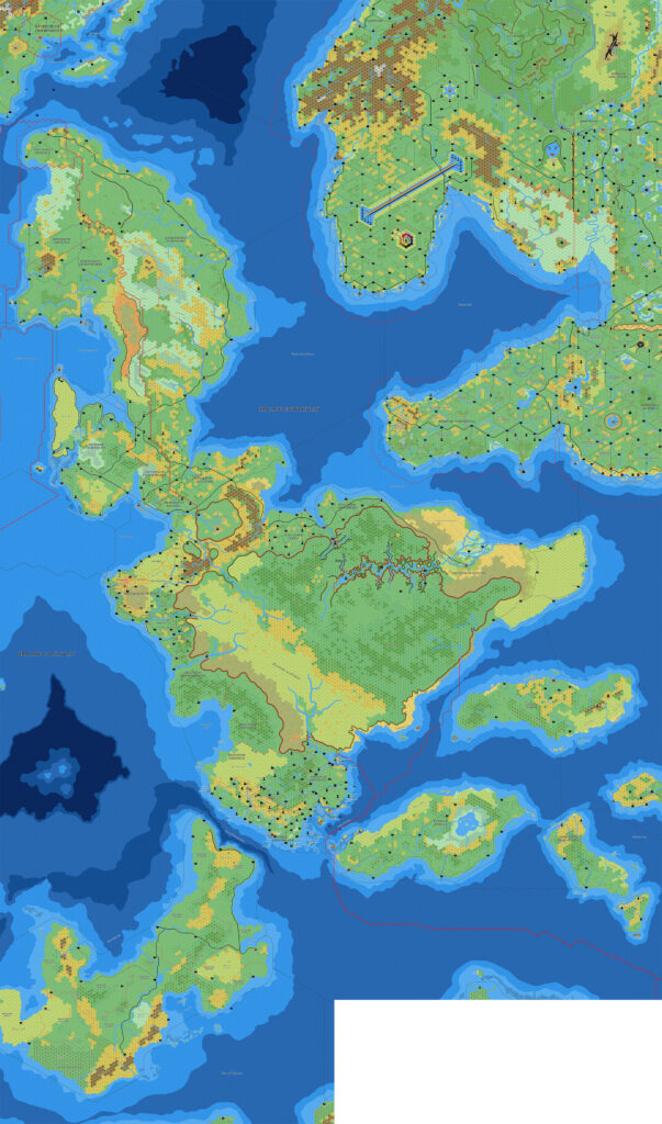
Following on from Kendach the previous month, as well as Ekto & Trikelios and Ispana in late 2015, Jose shared another four maps of parts of the Isle of Dawn to his Pinterest page in February 2016. This one focused on the northern tip of the island continent, with Helskir, western Dunadale, and the Northern Dawn Territories. In his comments, Jose noted that it could also be the City State of Helskir, and that another name for the Northern Territories could be Septentrionalia Aurorae.
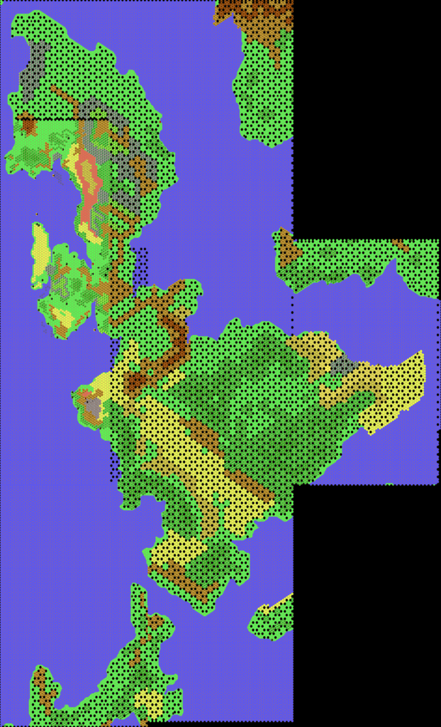
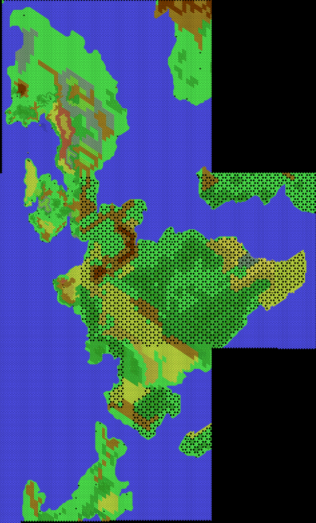
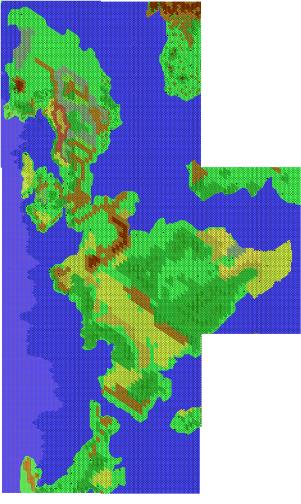
The content of the map is largely based on Thibault Sarlat’s Norwold South map, with Isle of Dawn place names supplied by Geoff Gander — perhaps via Mark Howard’s Isle of Dawn North rendition. The tip of Norwold comes from Jose’s own work, for example in his Northeastern Brun v1 map. In fact, the majority of this map probably derives from that large map, but this one contains a few new additions of its own, mostly in the form of extra terrain labels (mountains, bays, swamps, etc.).
Fan-made Map by Jose Ignacio Ramos Lomelin (February 2016)
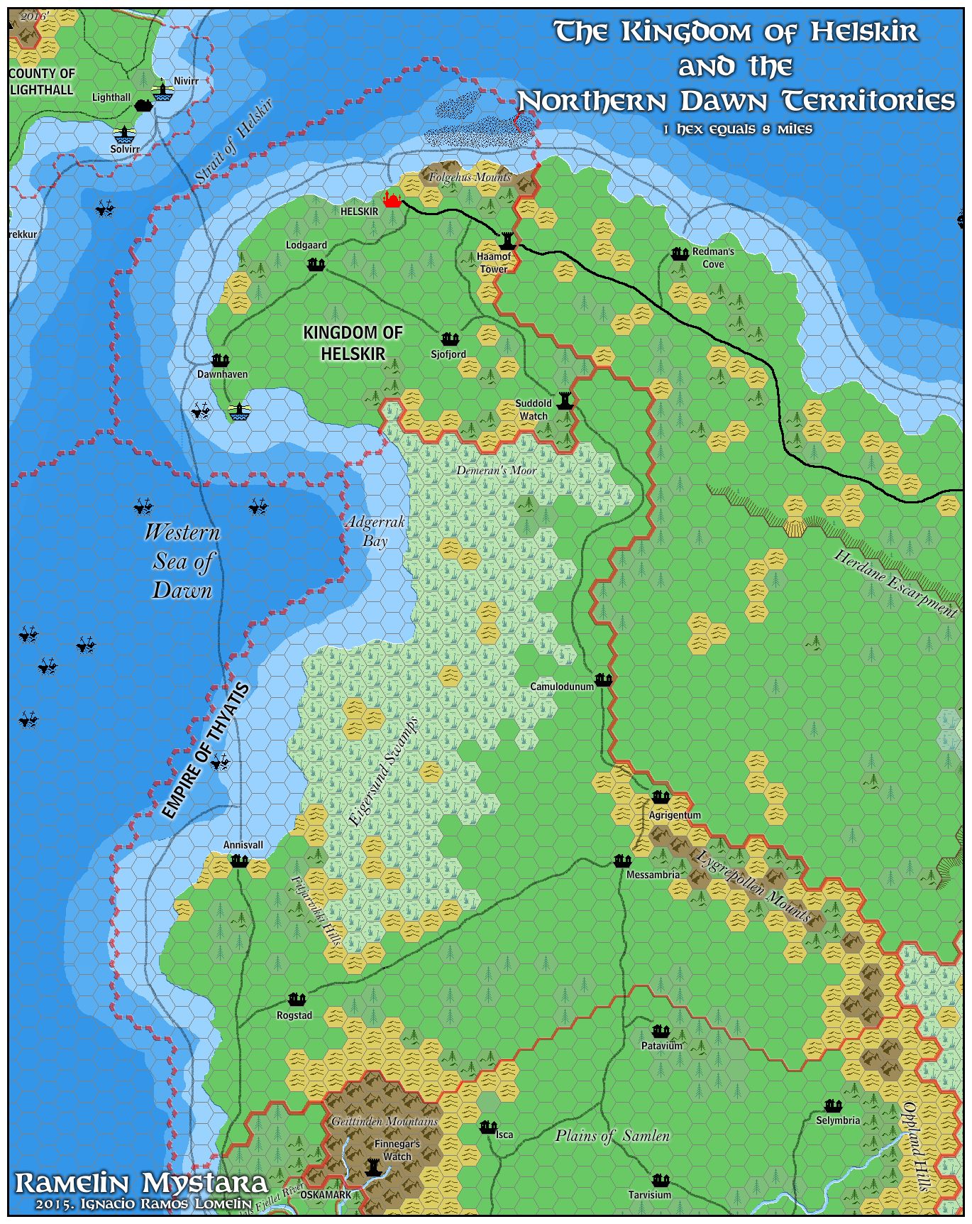
by Jose Ignacio Ramos Lomelin, February 2016
This is an original map created by one of Mystara’s excellent fan cartographers. For more information on the cartographer, including a gallery of all their maps, see also Appendix M: Mappers of Mystara.
Sources
- Dawn of the Emperors (1989) (PDF at DriveThruRPG)
- TM2 The Eastern Countries (1989) (PDF at DriveThruRPG)
Fan Sources
- Thibault’s Isle of Dawn, 8 miles per hex v4 (September 2002)
- Thibault’s Norwold South, 8 miles per hex (January 2005)
- Mark’s Isle of Dawn North, 8 miles per hex (September 2006)
References
- All of Jose’s maps at the Atlas of Mystara
- Jose’s entry in Appendix M: Mappers of Mystara (upcoming)
- Jose’s author page at the Vaults of Pandius
Chronological Analysis
This is a fan-made map. It was published in February 2016. The updated Atlas version of this map is not yet available. See also Appendix C for annual chronological snapshots of the area. For the full context of this map in Mystara’s publication history, see the upcoming Let’s Map Mystara 2016.
The following lists are from the Let’s Map Mystara project. Additions are new features, introduced in this map. Revisions are changes to previously-introduced features. Hex Art & Fonts track design elements. Finally, Textual Additions are potential features found in the related text. In most cases, the Atlas adopts these textual additions into updated and chronological maps.
Coming Soon