
Ramelin’s Herath, 8 miles per hex
When Jose shared his Colony of the Horn map on Pinterest in February 2016, he also finalised maps of the neighbouring countries of Jibarú, Wallara, and Herath, though he didn’t post these latter three at the time.
Unlike other countries of the Savage Coast, Herath contained one region that was largely undeveloped in either Princess Ark or Red Steel maps. Jose took this long-neglected province and gave it a name, along with a town, some villages, and lighthouses. These were very welcome details, as the area had always seemed far too empty compared with its surroundings.
Fan-made Map by Jose Ignacio Ramos Lomelin (February 2016)
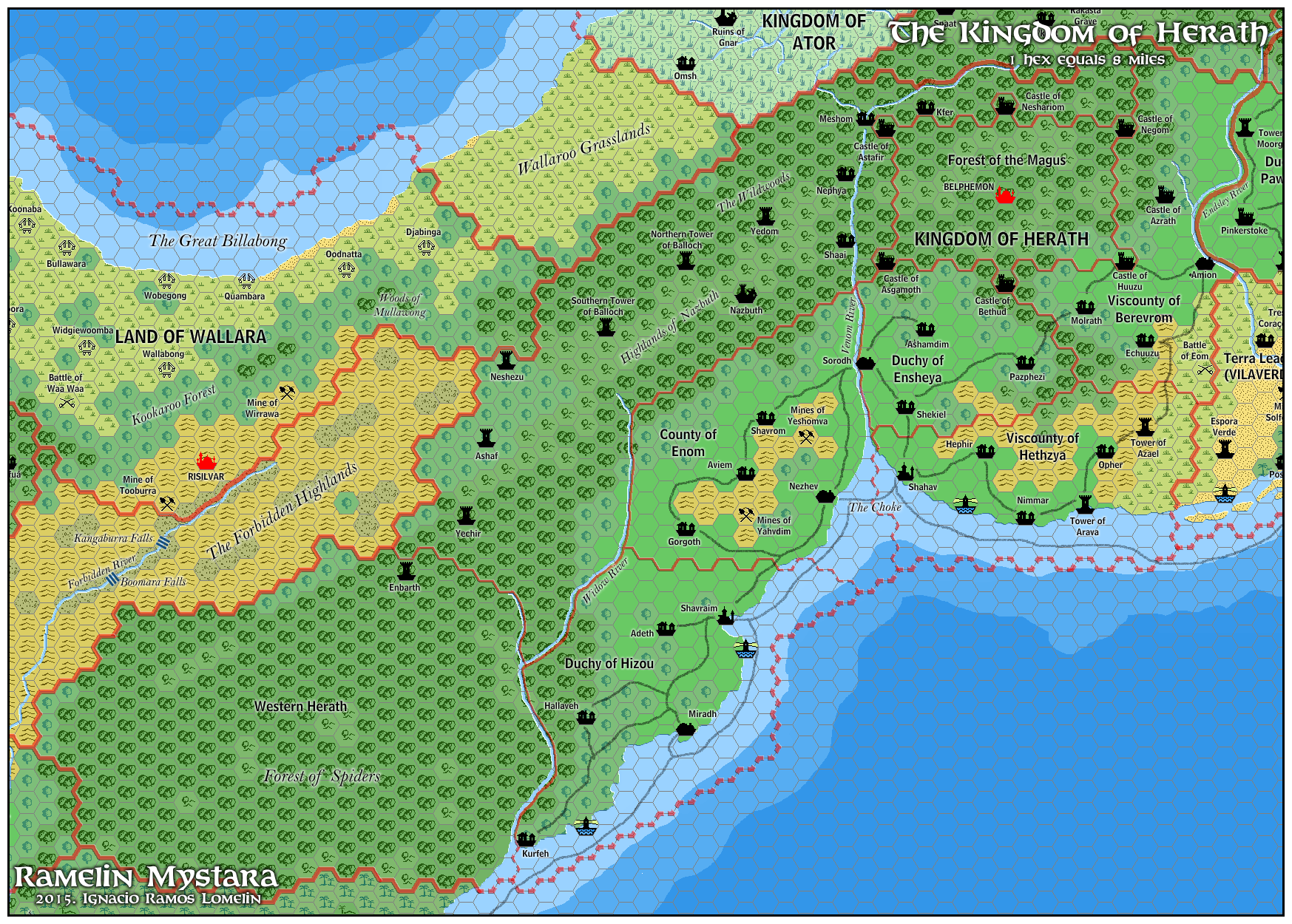
This is an original map created by one of Mystara’s excellent fan cartographers. For more information on the cartographer, including a gallery of all their maps, see also Appendix M: Mappers of Mystara.
Sources
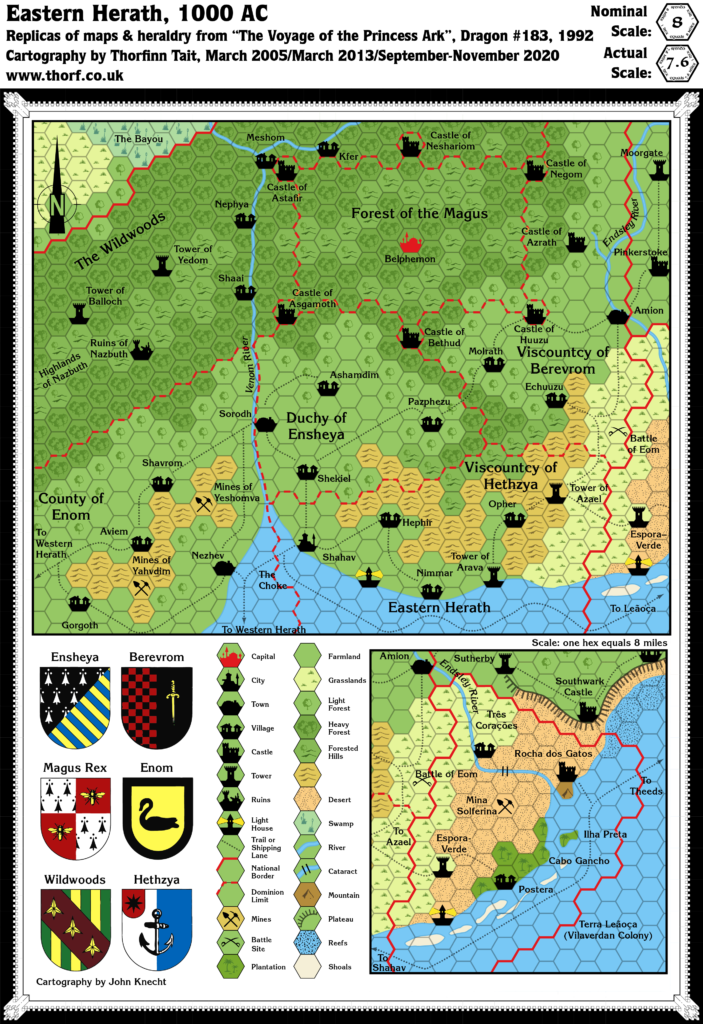
- The Voyage of the Princess Ark Part 27: To death and back, Dragon #180 (April 1992)
- The Voyage of the Princess Ark Part 30: Web of the Wizard-King, Dragon #183 (July 1992)
- The Voyage of the Princess Ark Part 32: Silence of the lizards, Dragon #185 (September 1992)
- The Voyage of the Princess Ark Part 33: Lords of shade and hue, Dragon #186 (October 1992)
- The Voyage of the Princess Ark Part 35: The return home, Dragon #188 (December 1992)
- Red Steel (1994) (PDF at DriveThruRPG)
- Trident Bay Region
Fan Sources
- Ramelin’s Orc’s Head Peninsula, 8 miles per hex (July 2015)
References
- All of Jose’s maps at the Atlas of Mystara
- Jose’s entry in Appendix M: Mappers of Mystara (upcoming)
- Jose’s author page at the Vaults of Pandius
Chronological Analysis
This is a fan-made map. It was published in February 2016. The updated Atlas version of this map is not yet available. See also Appendix C for annual chronological snapshots of the area. For the full context of this map in Mystara’s publication history, see the upcoming Let’s Map Mystara 2016.
The following lists are from the Let’s Map Mystara project. Additions are new features, introduced in this map. Revisions are changes to previously-introduced features. Hex Art & Fonts track design elements. Finally, Textual Additions are potential features found in the related text. In most cases, the Atlas adopts these textual additions into updated and chronological maps.
Note: This map was the first published version of this area. Although it was previously featured on an earlier map, that map wasn’t released until later.
Additions
- Dominions — The area around Shavraim was not featured on the original Dragon 183 map of Herath. Jose named this province Duchy of Hizou, and added new named towns and villages.
- Settlements — As noted under Dominions, Jose added various new named towns and villages as well as two lighthouses to the Shavraim area.
- Towns: Miradh.
- Villages: Adeth, Hallaveh, Kurfeh.
Revisions
- Coastline — As usual for his maps, Jose roughened the coastlines slightly.
- Sea Depths — Red Steel included two stages of deeper water around the coasts. Jose’s depths are similar to these overall, but they don’t match, especially in small details.
- Spelling — Jose made the following changes to spelling from the original maps. In all likelihood most of these were errors rather than deliberate choices; the Dragon maps were always a little hard to read, especially from the low resolution scans available online.
- Battle of Wee Waa became Battle of Waa Waa.
- Espora-Verde became Espora Verde.
- Pazphezu became Pazphezi.
- Tower of Enbuth became Enbarth.
- Viscountcy of Berevrom and Hethzya both used the spelling Viscounty.
- Trails — Jose removed the East-West Road featured in Red Steel, replacing it with a network of trails threading connecting the newly placed settlements around Shavraim.
Hex Art & Fonts
- Hex Art — Ramelin Mystara standard.
- Fonts — Bell MT (major geographic and all water labels), Bell Centennial (all other labels), Feinen (titling).


24 January 2026 @ 4:19 pm
Another snazzy map from Ramelin.