")
Ramelin’s Imperial Territories, 8 miles per hex v1
Following his completed version of Blackheart the previous month, Jose shared the second to last undeveloped Alphatian province in February 2016. As with Blackheart, he took the fragments from the edges of Bruce Heard’s maps of surrounding provinces and completed the missing sections, adding in some extra details as appropriate. With this map complete, only Shiye-Lawr remained unmapped.
The most significant of Jose’s additions must surely be the immense and foreboding Worldwound Gash. Bruce had hinted that the Imperial Territories were a dangerous, wild place, and this detail fit that image perfectly — even the name “Worldwound Gash” is highly evocative. It leaves us wanting to know more, and makes the lack of a gazetteer or even a single article for the region all the more painful.
Jose would revisit this map later the same year to make some tweaks to his design.
Fan-made Map by Jose Ignacio Ramos Lomelin (February 2016)
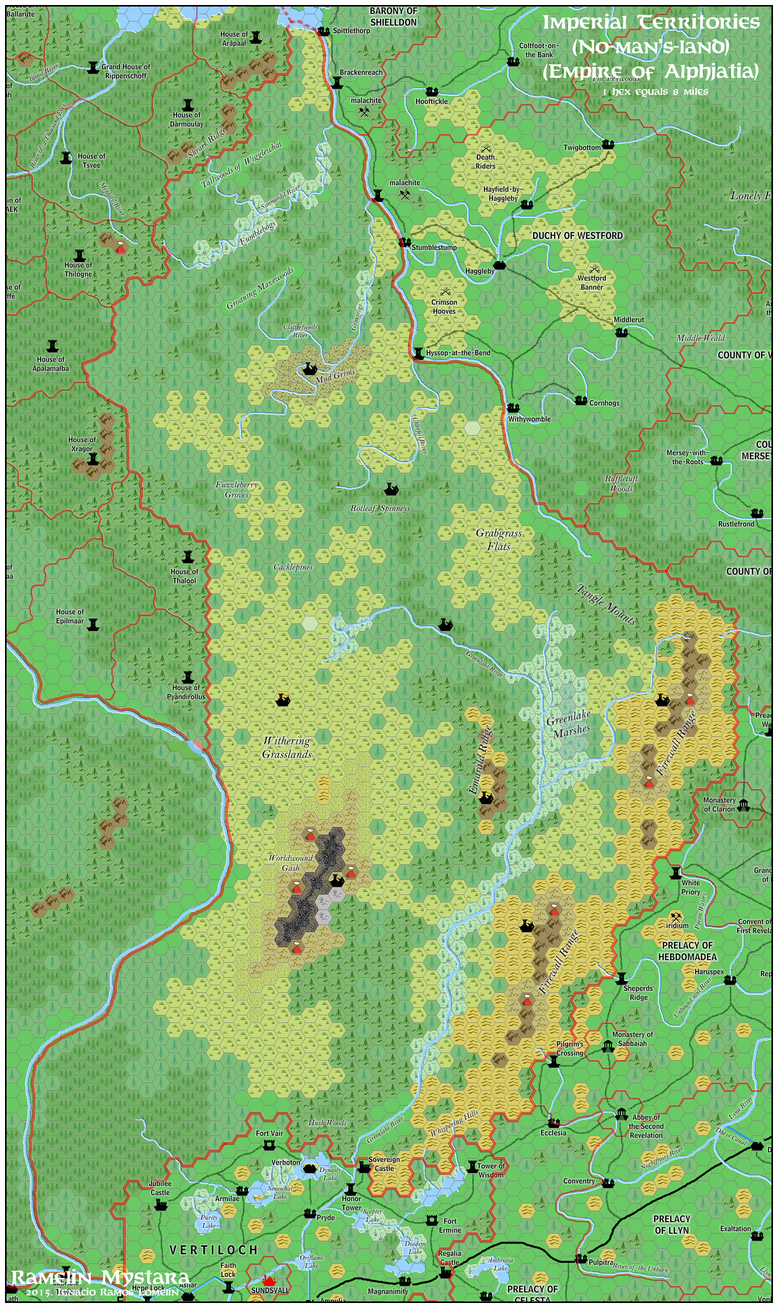
This is an original map created by one of Mystara’s excellent fan cartographers. For more information on the cartographer, including a gallery of all their maps, see also Appendix M: Mappers of Mystara.
Sources
- Dawn of the Emperors (1989) (PDF at DriveThruRPG)
- Bruce Heard’s Alphatia (2012-2013)
Fan Sources
- Ramelin’s Blackheart, 8 miles per hex (January 2016)
References
- All of Jose’s maps at the Atlas of Mystara
- Jose’s entry in Appendix M: Mappers of Mystara (upcoming)
- Jose’s author page at the Vaults of Pandius
Chronological Analysis
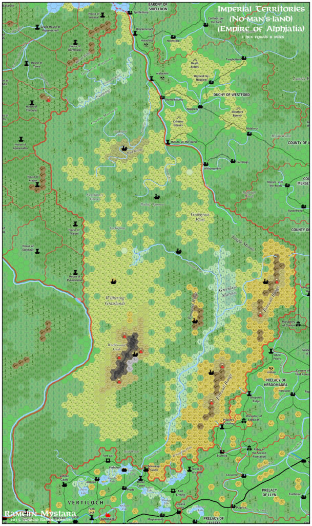
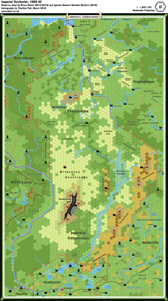
This is a fan-made map. It was published in February 2016. The updated Atlas version of this map is Imperial Territories, 8 miles per hex. See also Appendix C for annual chronological snapshots of the area. For the full context of this map in Mystara’s publication history, see the upcoming Let’s Map Mystara 2016.
The following lists are from the Let’s Map Mystara project. Additions are new features, introduced in this map. Revisions are changes to previously-introduced features. Hex Art & Fonts track design elements. Finally, Textual Additions are potential features found in the related text. In most cases, the Atlas adopts these textual additions into updated and chronological maps.
Coming Soon


28 January 2026 @ 10:31 pm
Very cool!