
Ramelin’s Ulimwengu, 8 miles per hex
November 2015 was a momentous month for Jose’s project, as he shared more than thirty individual maps to his Pinterest page over a couple of days. The first set covered most of the Known World, while the second finished that off and then moved west to cover the Serpent Peninsula and the Savage Coast.
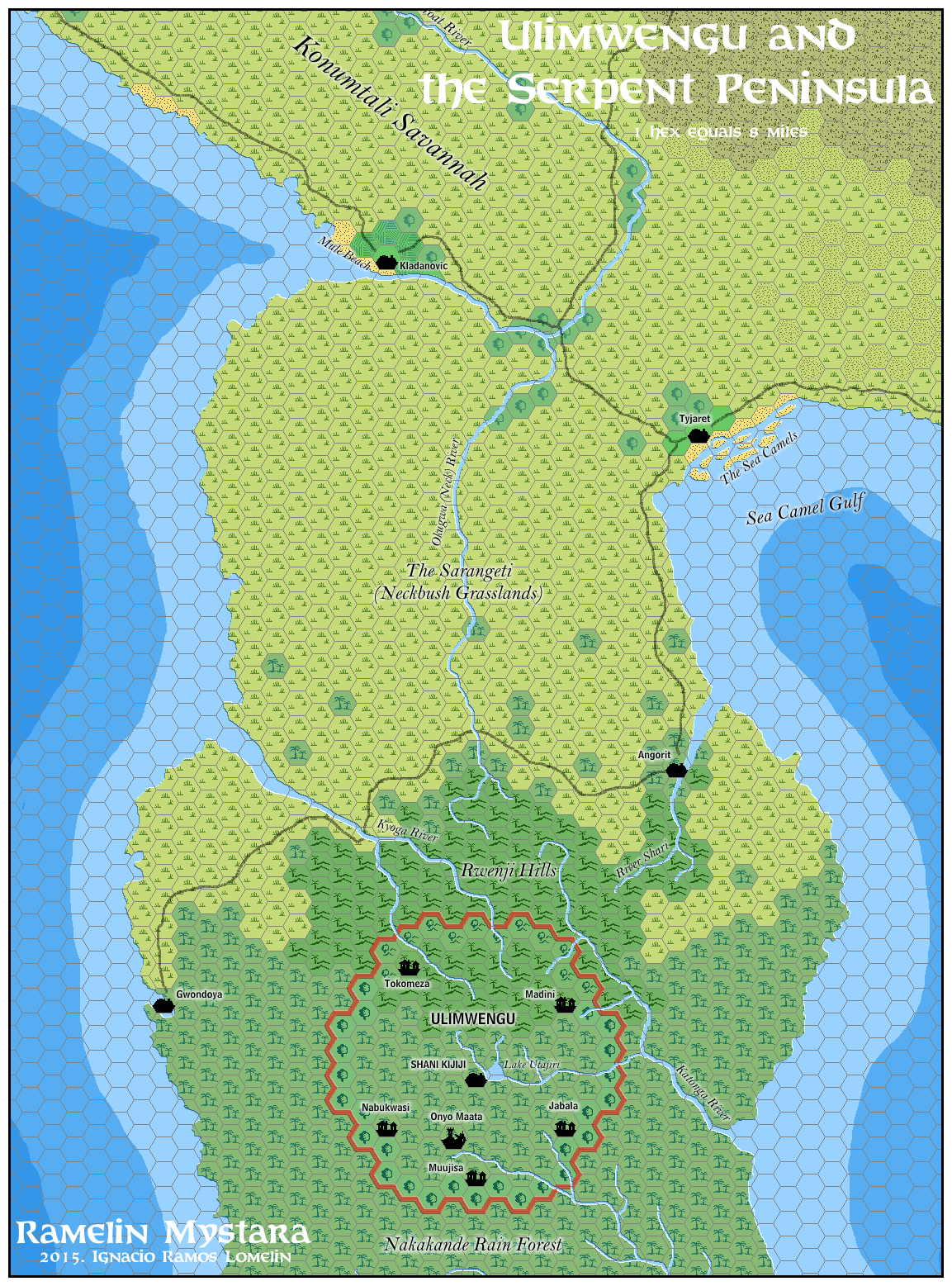
Continuing the second set, Jose’s Ulimwengu map was another first for Mystara, in this case being the first time the region had been covered in this much detail at 8 miles per hex — though in fact most of the details are ported from the official (non-hex) map of the area rather than being of his own invention.
Fan-made Map by Jose Ignacio Ramos Lomelin (November 2015)
This is an original map created by one of Mystara’s excellent fan cartographers. For more information on the cartographer, including a gallery of all their maps, see also Appendix M: Mappers of Mystara.
Sources
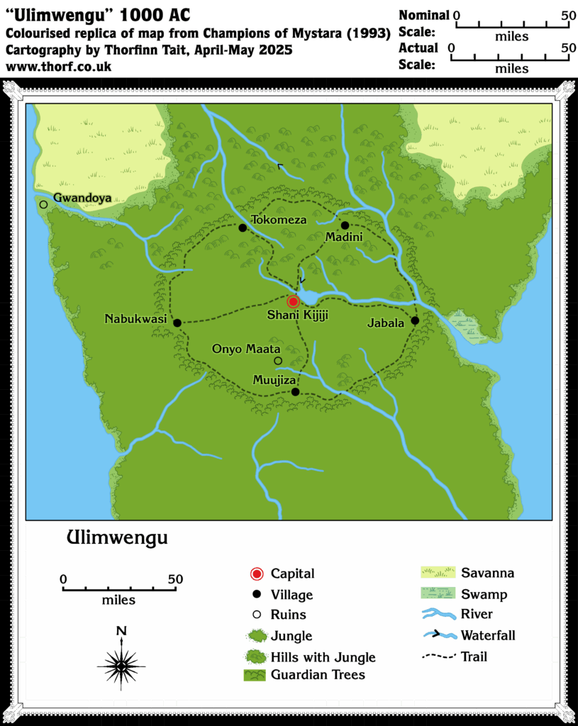
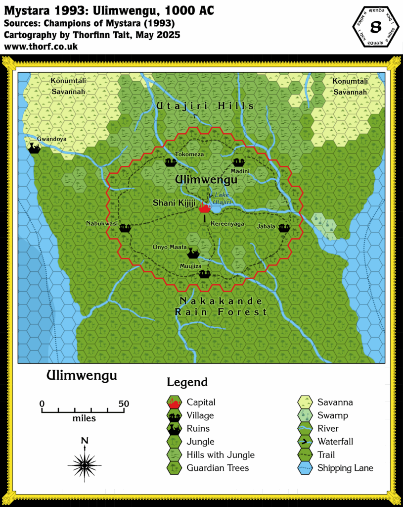
- Champions of Mystara (1993) (PDF at DriveThruRPG)
- Serpent Peninsula, 24 miles per hex
- Ulimwengu
References
- All of Jose’s maps at the Atlas of Mystara
- Jose’s entry in Appendix M: Mappers of Mystara (upcoming)
- Jose’s author page at the Vaults of Pandius
Chronological Analysis
This is a fan-made map. It was published in November 2015. The updated Atlas version of this map is not yet available. See also Appendix C for annual chronological snapshots of the area. For the full context of this map in Mystara’s publication history, see the upcoming Let’s Map Mystara 2015.
The following lists are from the Let’s Map Mystara project. Additions are new features, introduced in this map. Revisions are changes to previously-introduced features. Hex Art & Fonts track design elements. Finally, Textual Additions are potential features found in the related text. In most cases, the Atlas adopts these textual additions into updated and chronological maps.
Additions
- Islands — The Sea Camels, a set of sandy shoals in the bay in front of Tyjaret, is a nice adaptation of X6’s Sea Camel (the previous name for Tyjaret). These sandy shoals are Jose’s invention.
- Rivers — Kyoga River, Katonga River, and River Shari are new names for these rivers, which previously appeared in Champions. Additionally, the shapes of these rivers is slightly different.
- Terrain — The terrain in the northern two thirds or so of the map is newly adapted to this scale. Rwenji Hills is a new name for the hills, which Champions referred to in its text as the Utajiri Hills. This name was never marked on a map, however.
Revisions
- Rivers — Okugwa (Neck) River was previously known as Nikonga River in Champions.
- Settlements — Gwondoya is now a town. It appeared as ruins in Champions.
- Terrain — The bottom third of this map is adapted from Champions’ Ulimwengu map. Jose changed the shape of the Guardian Trees to be a more perfect circle, rather than Champions’ oval. Mule Beach is now an actual beach; previously it was the name for Kladanovic in X6. The Sarangeti (Neckbush Grasslands) is a new, variant name for the Neck Grasslands. (Champions made these grasslands part of the Konumtali Savannah.)
Hex Art & Fonts
- Hex Art — Ramelin Mystara standard hex art and palette.
- Fonts — Feinen (clone) for titling. Bell Centennial for political labels. Bell MT for geographic and other labels.
")

