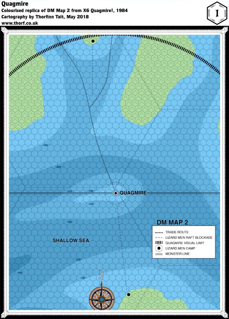
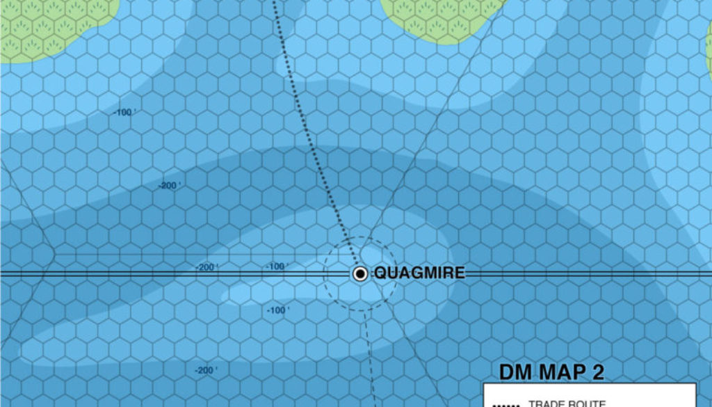
X6 Quagmire, 1 mile per hex
X6 included a large scale hex map detailing the area immediately around the sinking city of Quagmire. It’s one of only a few 1 mile hex maps that appeared in Mystara’s products over the years. The map itself is unfortunately rather bare, failing to provide any new detail to the area other than slightly more detailed coastlines and deep water contour lines.
Replica Map (May 2018)

Sources
- X6 Quagmire! (1984) (PDF at DriveThruRPG)
- DM Map 2, page 15 (Cartography by David S LaForce)
Chronological Analysis
This is Map 20. It was published in June 1984. The updated version of this map has not yet been released. See also Appendix C for annual chronological snapshots of the area. For the full context of this map in Mystara’s publication history, see Let’s Map Mystara 1984.
The following lists are from the Let’s Map Mystara project. Additions are new features, introduced in this map. Revisions are changes to previously-introduced features. Hex Art & Fonts track design elements. Finally, Textual Additions are potential features found in the related text. In most cases, the Atlas adopts these textual additions into updated and chronological maps.
Additions
- Depths — X6’s other maps provided general bathymetry, but here we have more detailed contour lines for the sea floor.
- Monster Line — a line bisecting the map.
- Settlements — the precise location of the city of Quagmire, along with two lizard men camps.
Revisions
- Coastline — precise coasts of the islands were slightly more detailed than in the 24 mile per hex map.
- Trails & Roads — the trade routes on the smaller scale map are shown to lead to Quagmire on the way through the Shallow Sea.
Hex Art & Fonts
- Fonts — Helvetica.
- New Symbols — Visual Limit (a thick, finely dashed line), Raft Blockade (a dashed line), Monster Line (two parallel lines).

For Textual Additions from X6, see X6 Wild Lands, 24 miles per hex.
Join in the Discussion at The Piazza
Come and join in the discussion about this map at The Piazza, where I am holding a “read through” of the Let’s Map Mystara project.


