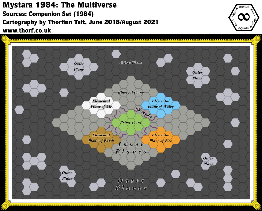
1984 was a bumper year for Mystara, providing as many new maps as all its first three years put together.
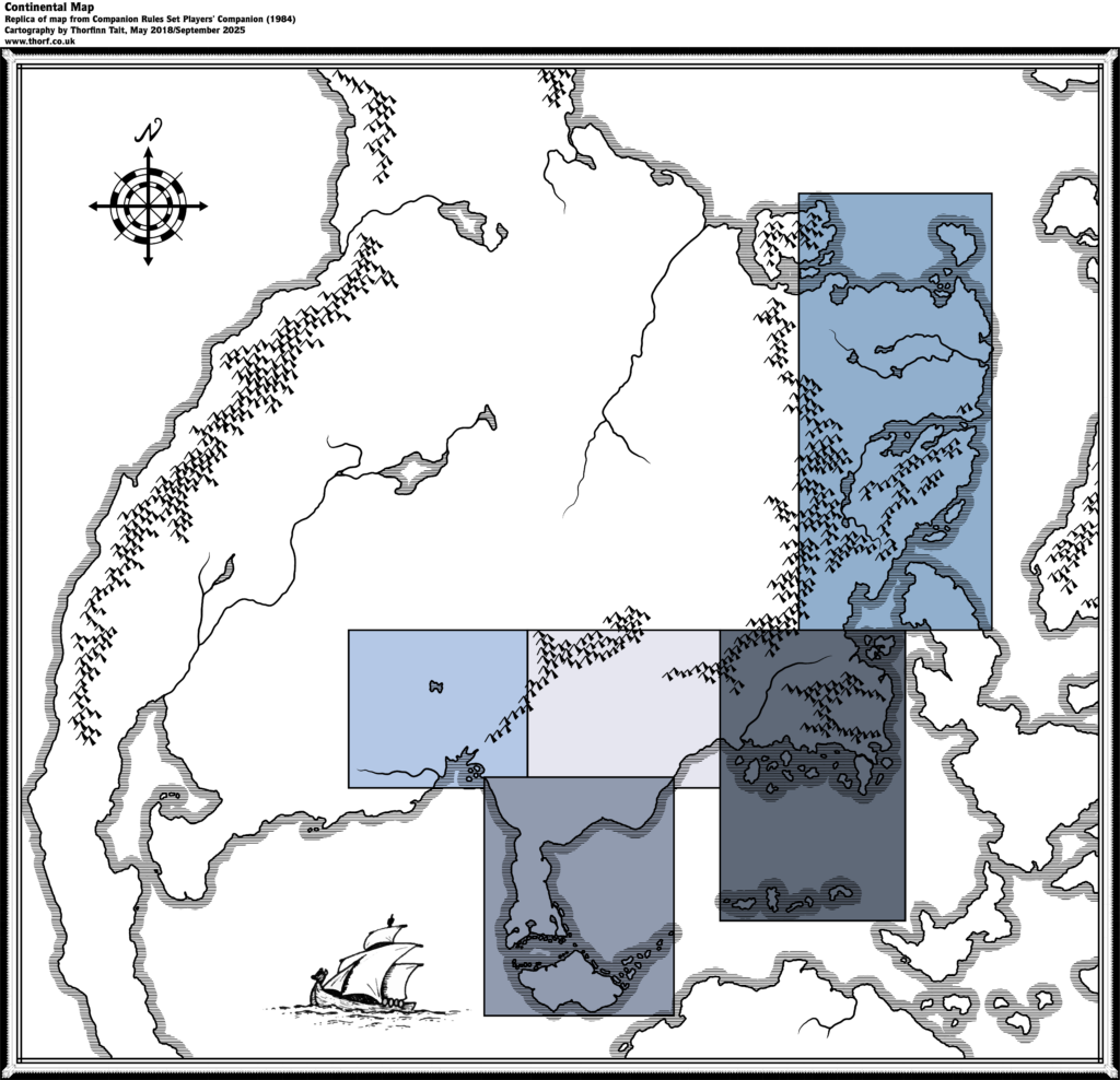
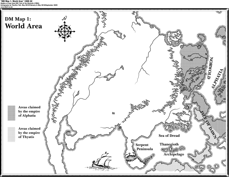
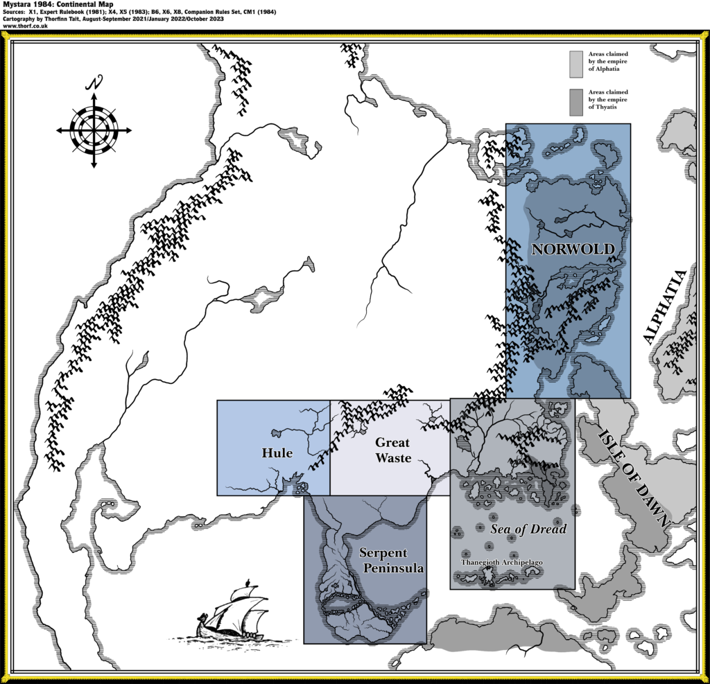
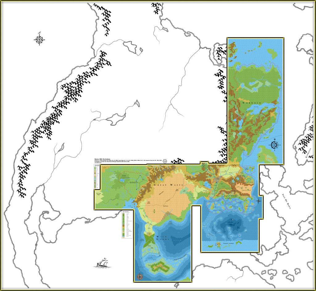
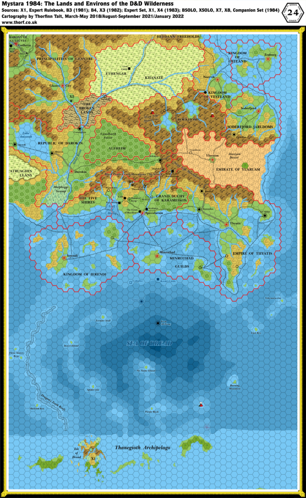
Most significant was the continental map, which placed the regional hex maps in a larger context. Terrain details were minimal — major mountains ranges, rivers and lakes only, with only a couple of new labels on the map — but it nevertheless gave a first view of the continent, together with hints of what the world may look like.
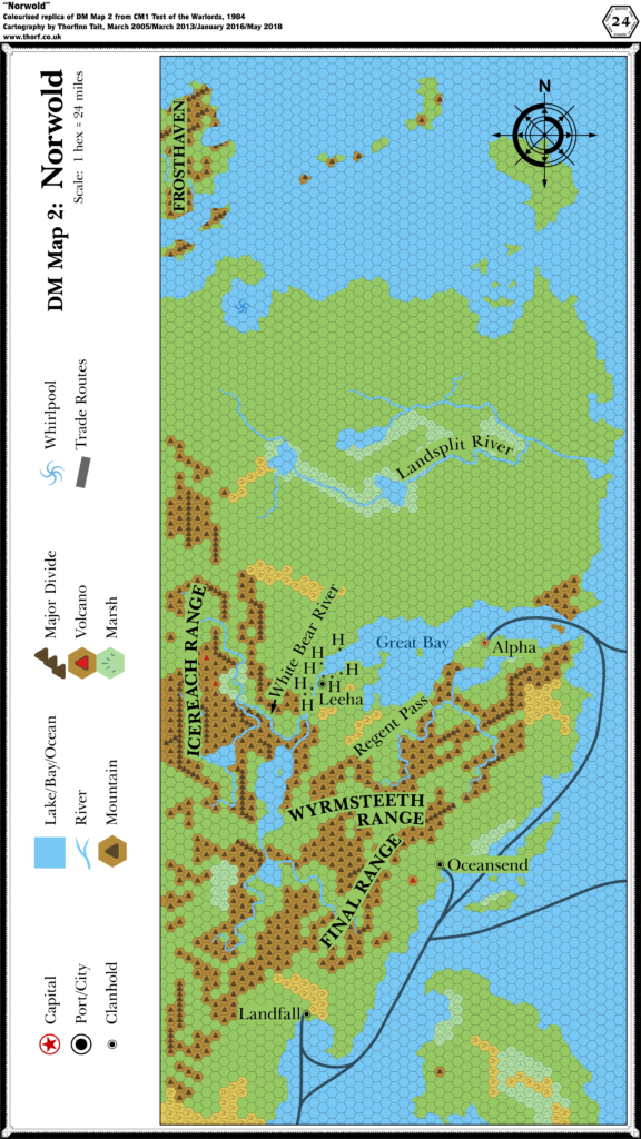
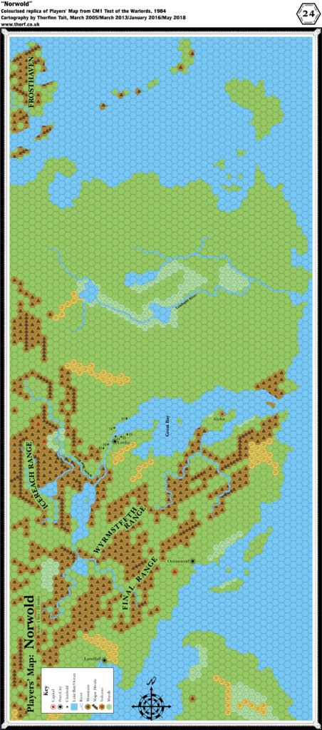
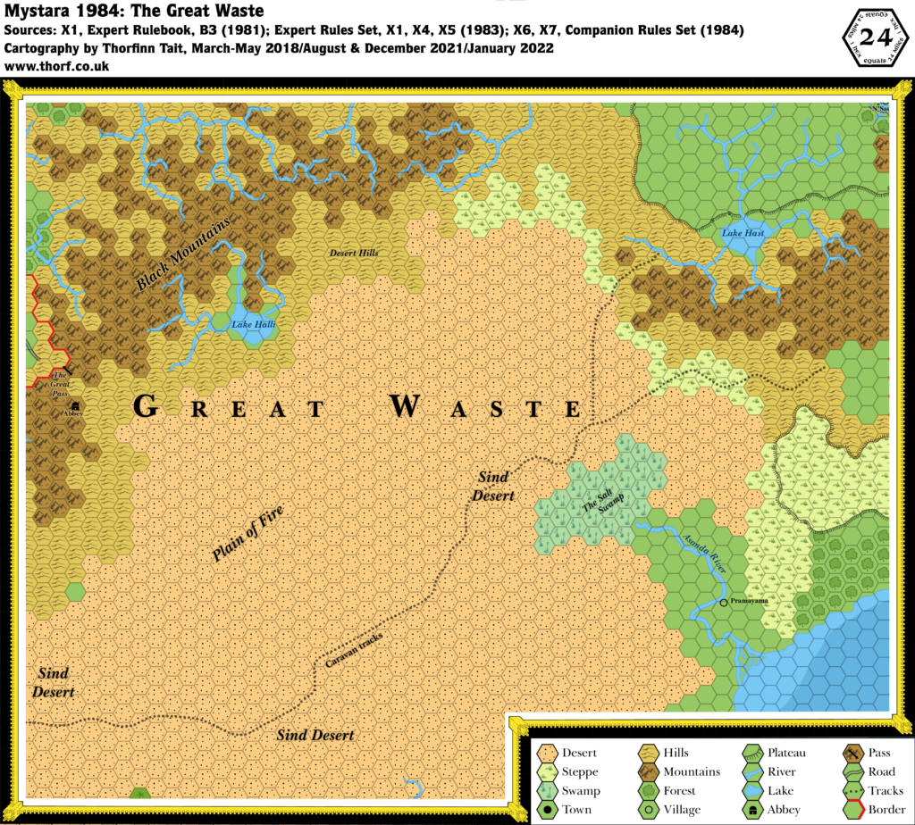
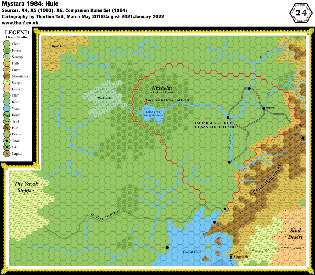
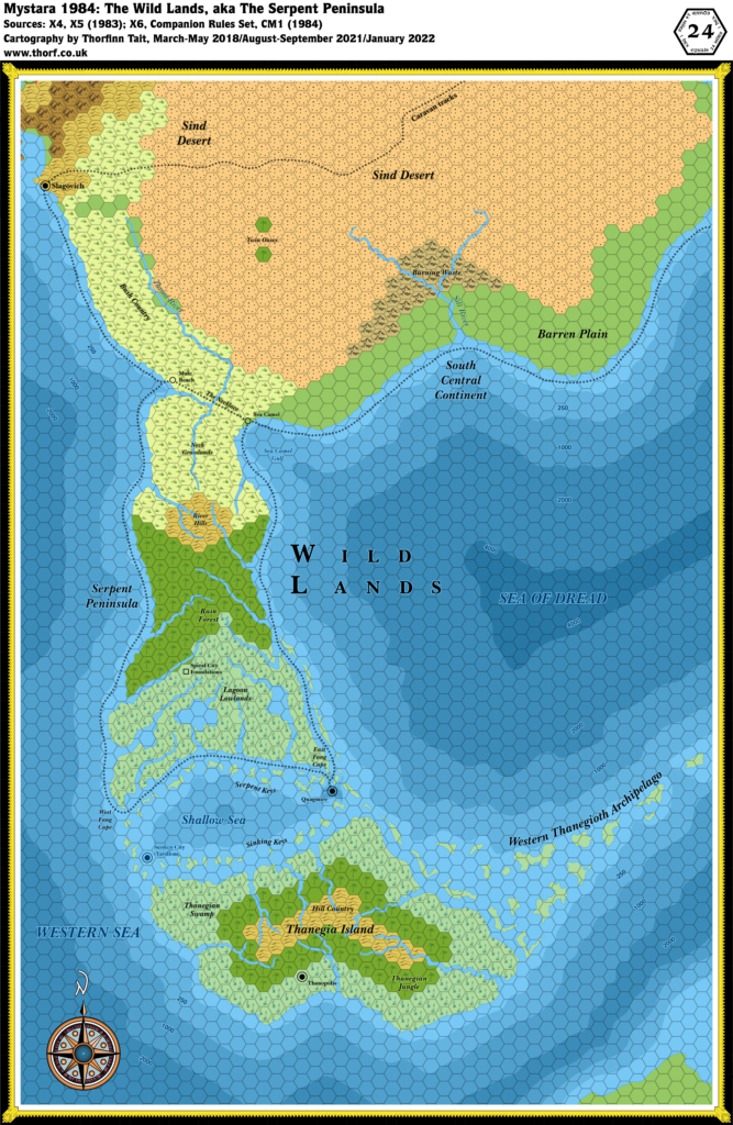
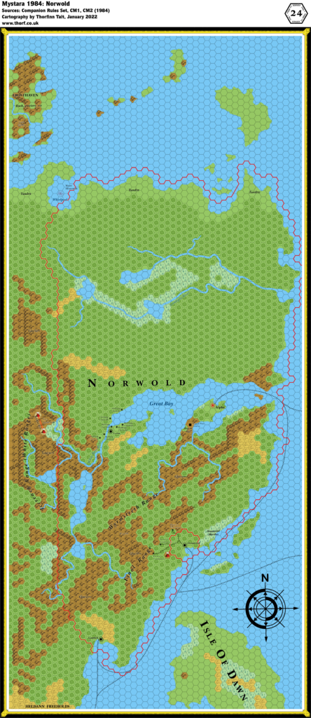
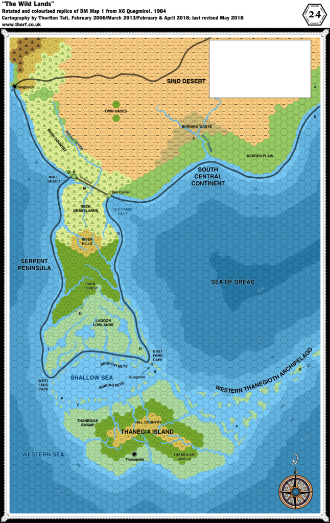
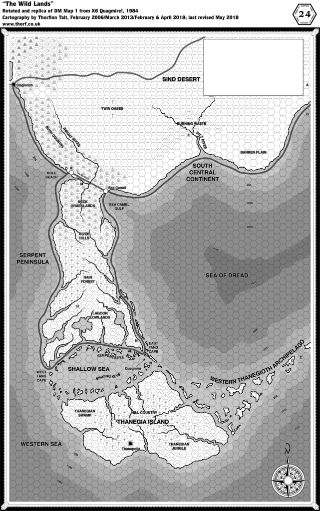
Expansion of the detailed hex maps also continued apace, with the addition of the Wild Lands/Serpent Peninsula in the south as well as Norwold up in the northeast. Taken together, these areas presented five pages of maps to be added to the four pages already established in previous years. In other words, the hex mapped area of the world more than doubled in size.
It’s worth noting that Norwold was the first area to appear at a different rotation from the rest of the hex maps, requiring a 1º rotation in order to fit it in. Of course, this only became possible thanks to the continental map; without it, there would have been no guide as to how to fit maps together.
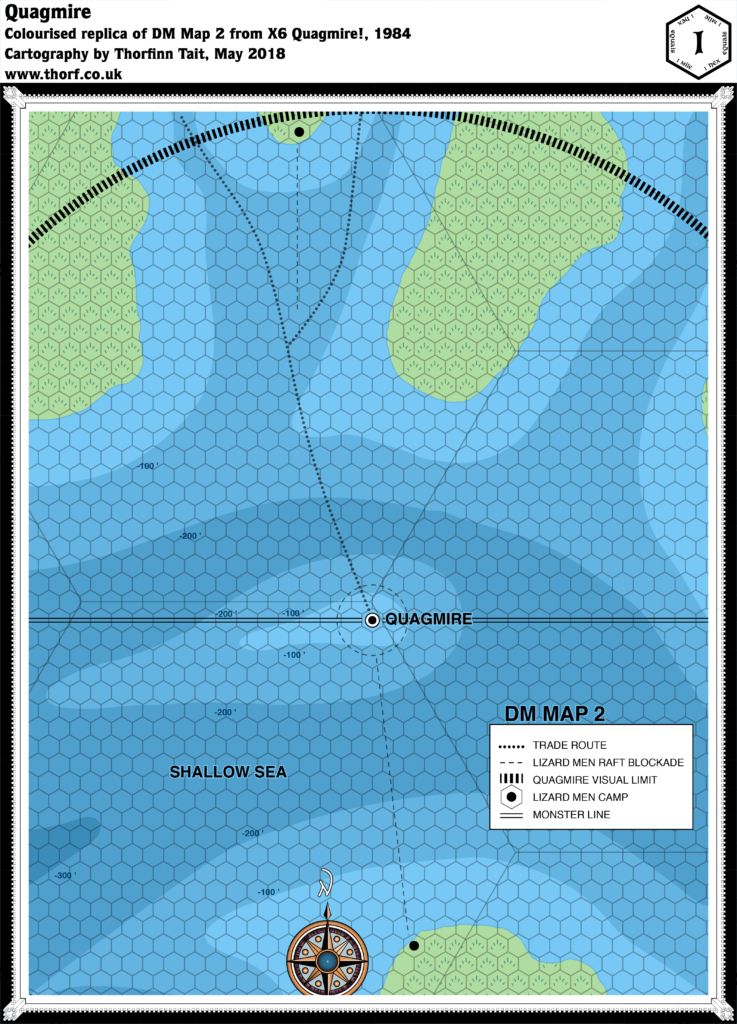
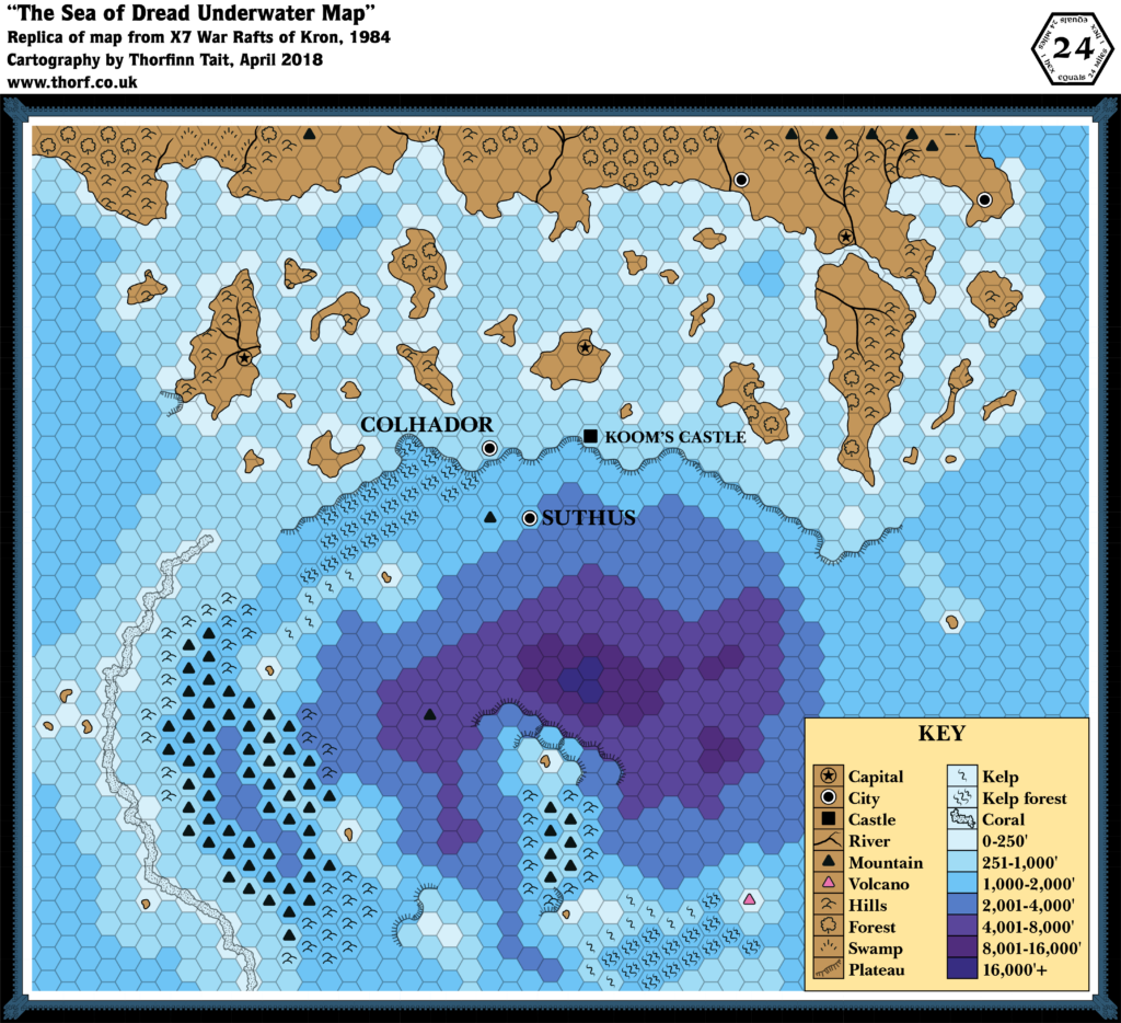
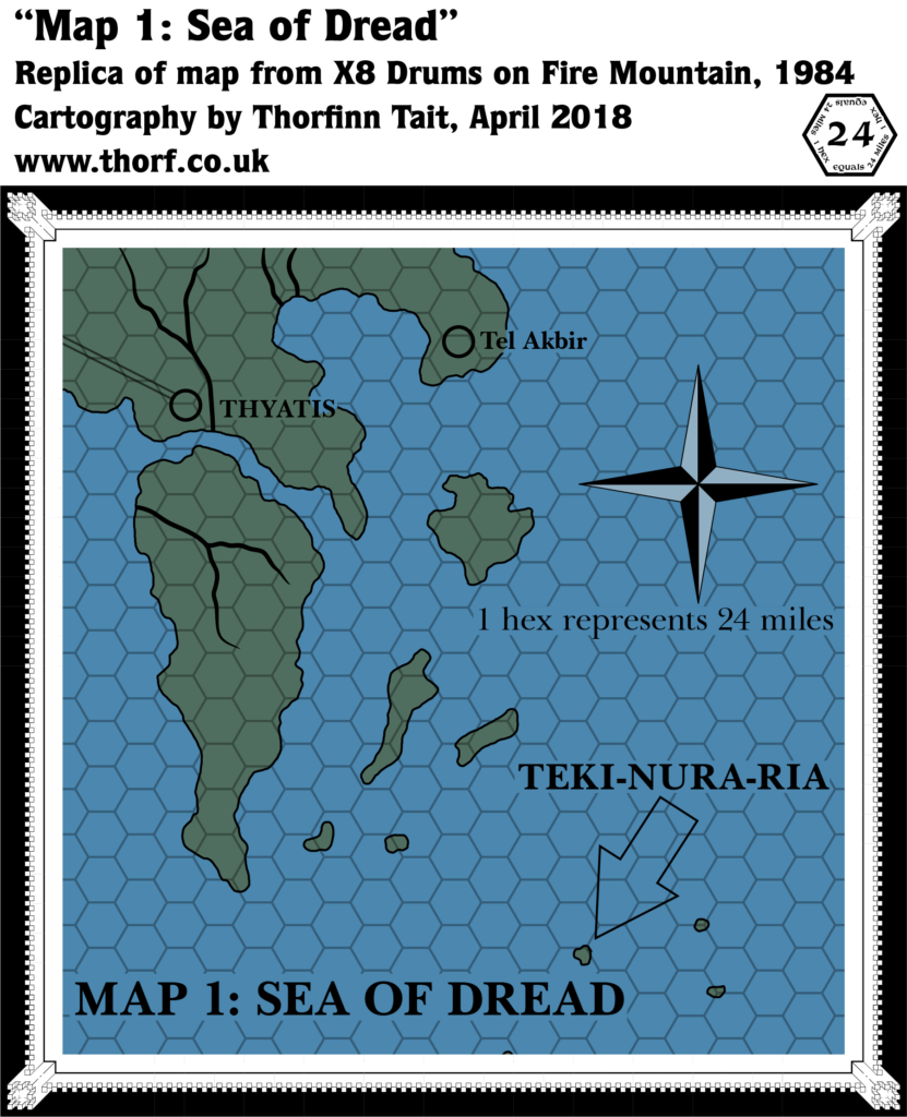
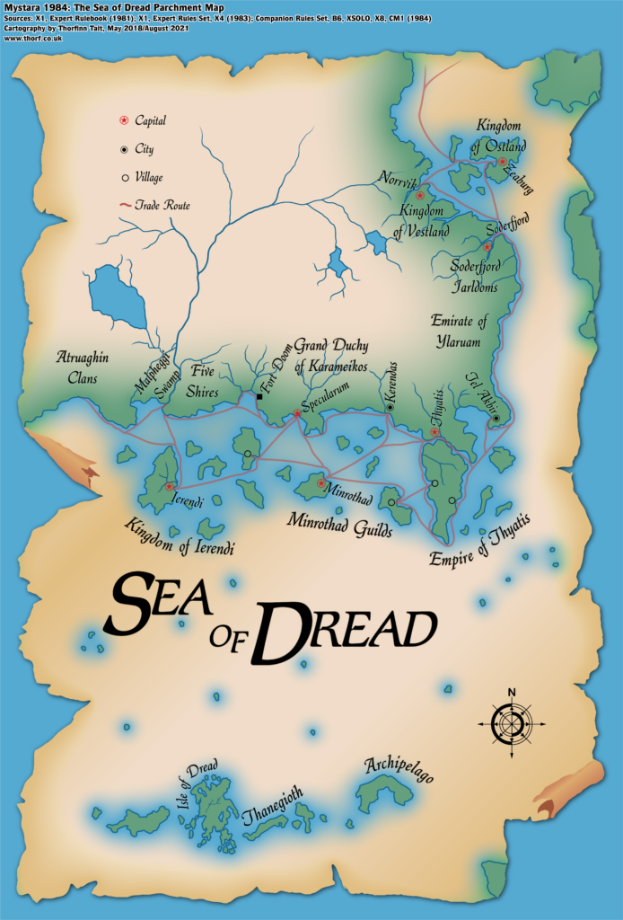
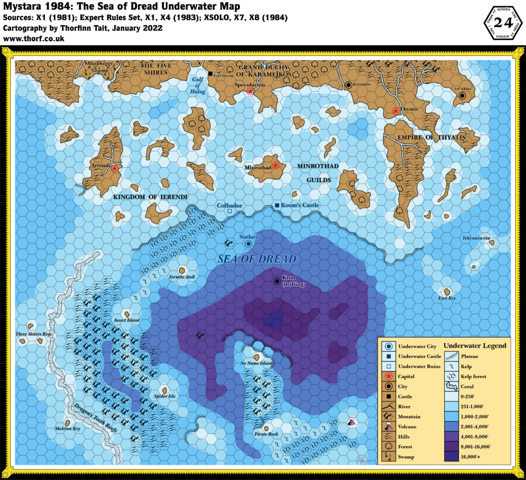
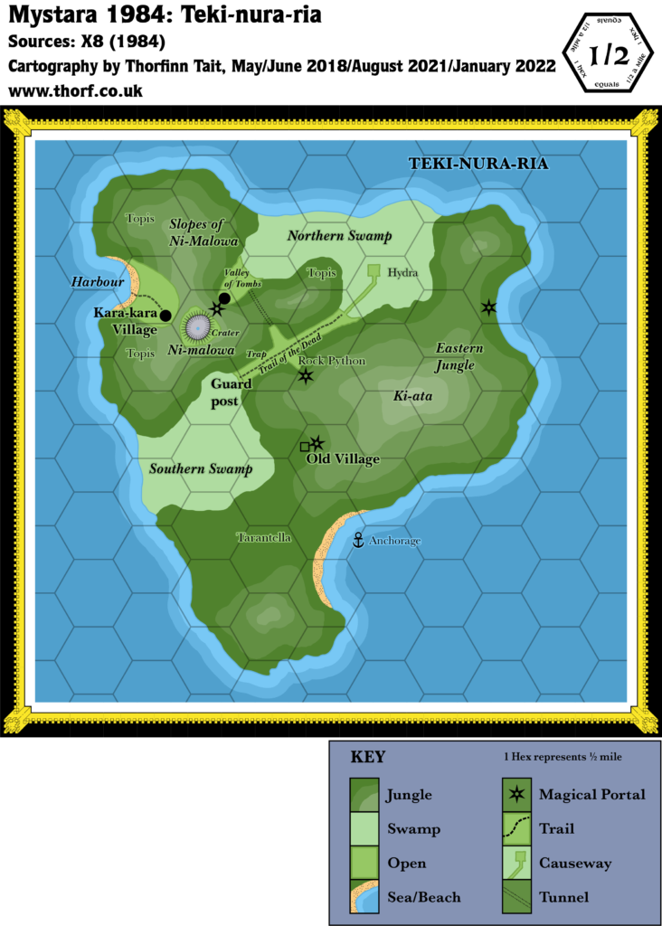
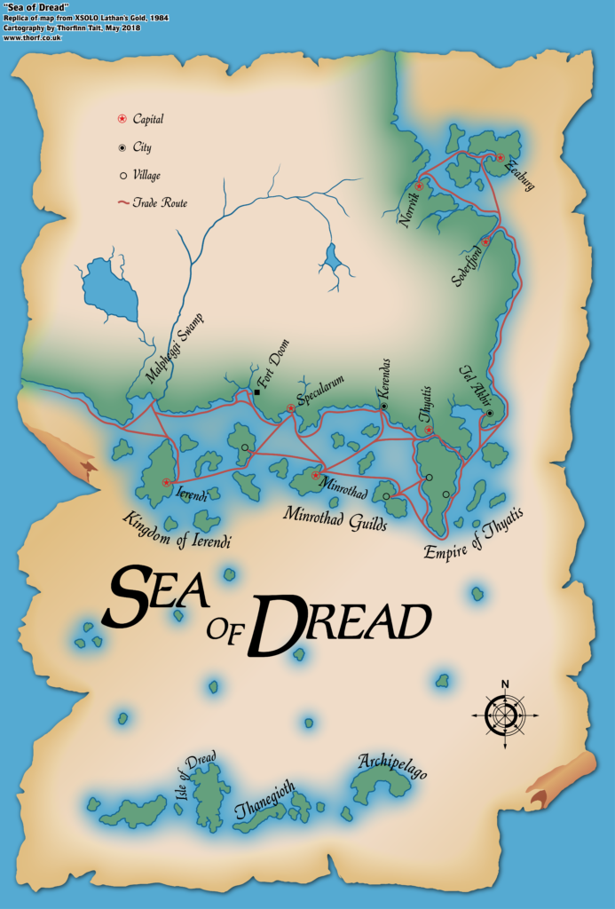
Finally, XSOLO, X7 and X8 focused on islands and ocean depths, adding more detail to the Sea of Dread — and indeed introducing that iconic name.
The Maps
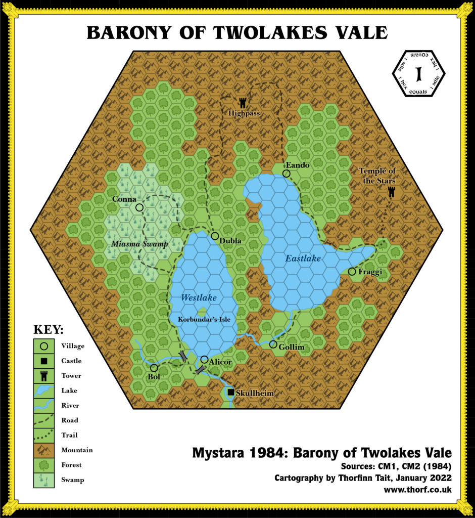
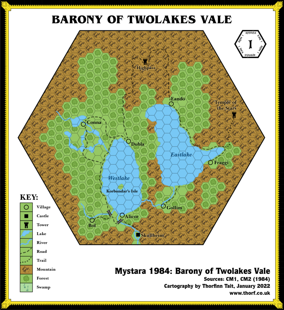
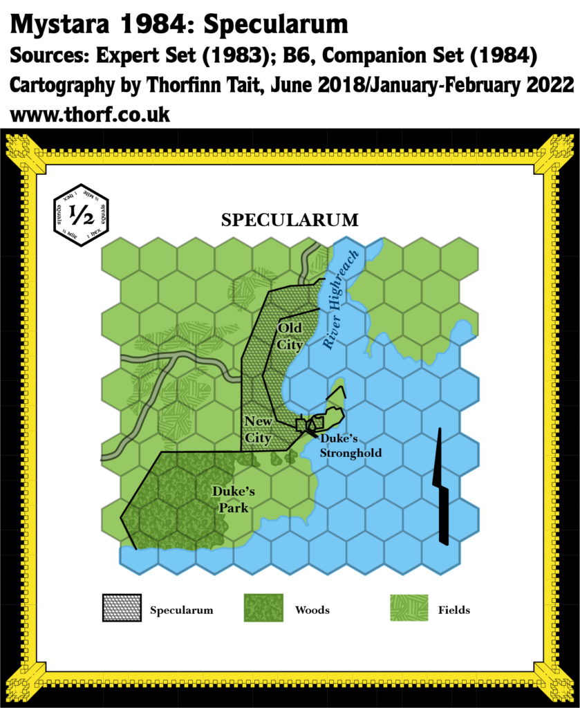
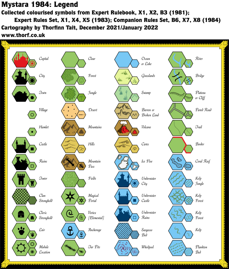
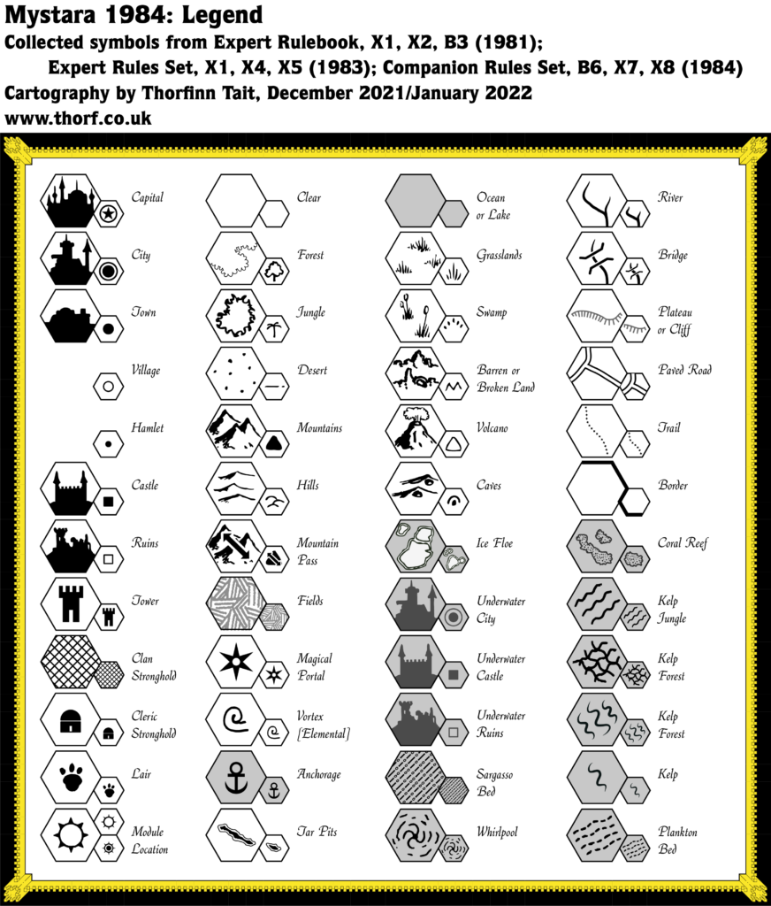
These maps have been made internally consistent, adopting the most detailed shapes and positions of each element.
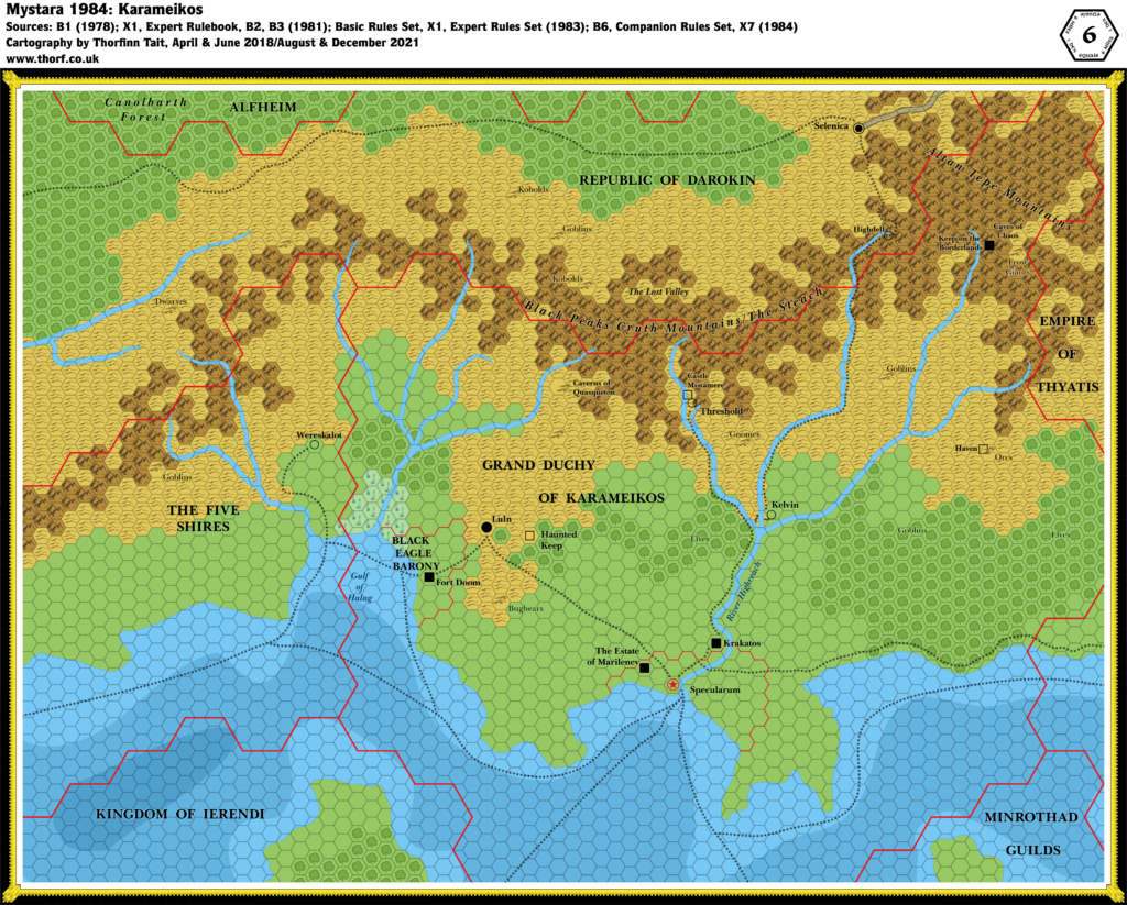
Note that maps remaining unchanged from the previous year do not appear here. Please refer to Mystara 1983 for those maps.
The continental map linked to above is a lower resolution version. You can download the full size version using the following links (right click and choose “Save Link As…”).
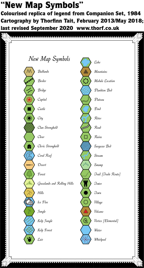
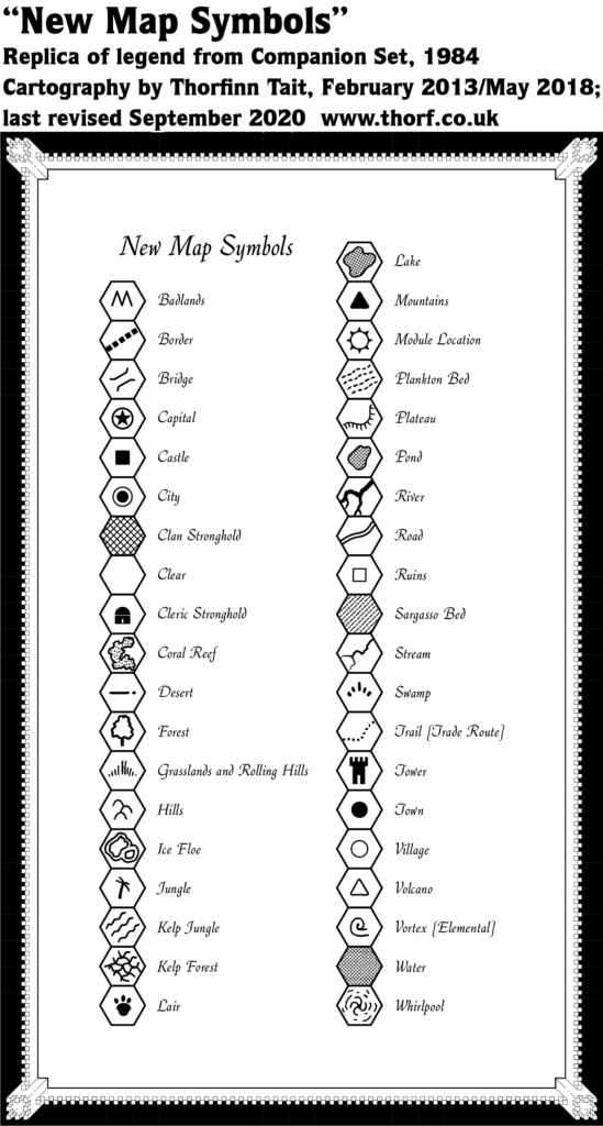
- Art — the printed style from 1981’s Expert Rulebook‘s Legend, with additional symbols from the 1983 Expert Rules Set‘s Legend.
- Fonts — Baskerville.
References
For more details on the individual maps and their interpretation here, please refer to the original Let’s Map Mystara project articles listed below.
- Let’s Map Mystara 1984
- Let’s Read the Known World/Mystara post 186 — 1984 discussion starts at this post
1984 Product Lineup
This table lists all the relevant products published in 1984, with links to each map’s individual page here at the Atlas. Product titles link to PDFs at DTRPG where they are available.
Mystara Geographic Maps 1984
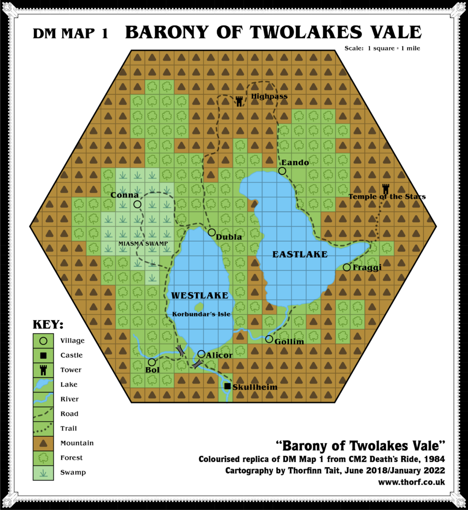
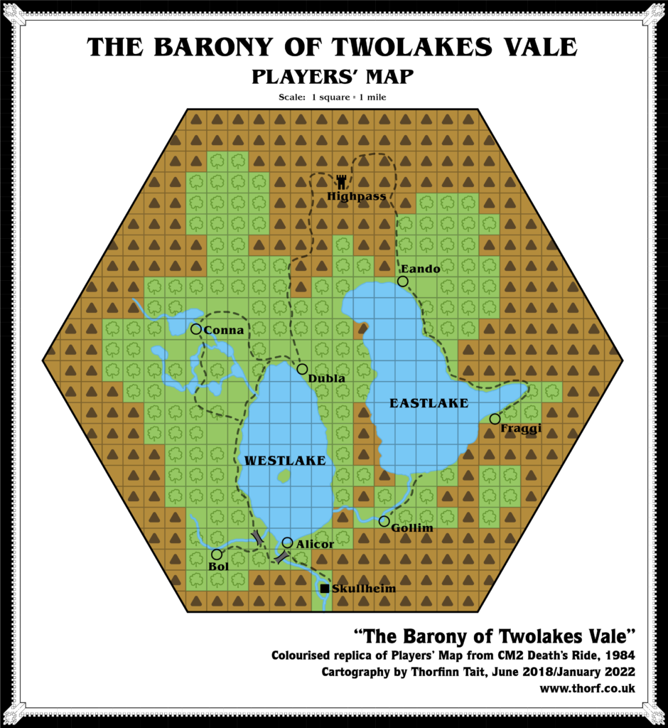
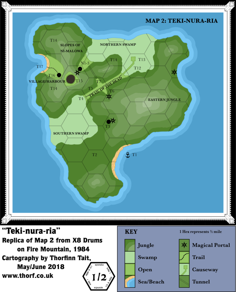
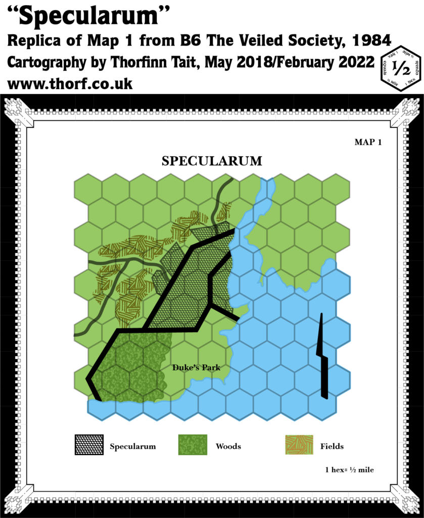
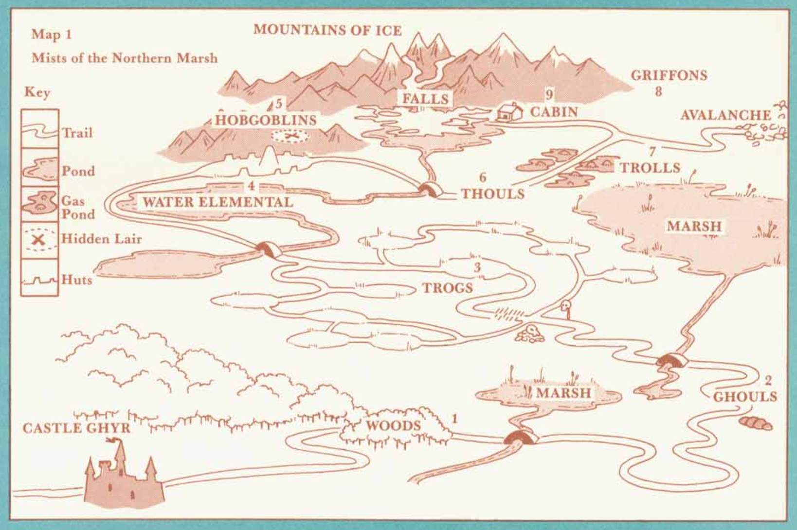
1984 Map Gallery
This gallery shows all of the geographic maps published over the course of the year. These are replicas of the original maps. For full details, please check out the post for each map, linked to in the table above. For corrected and expanded versions, use the maps near the top of this page.
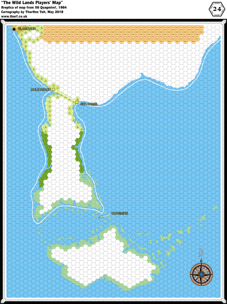
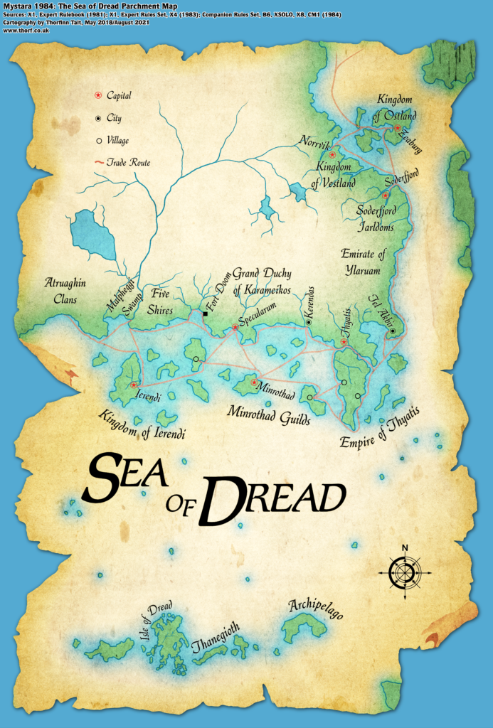
Parchment Map
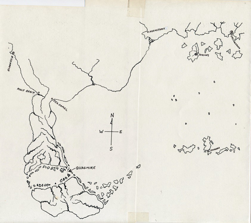
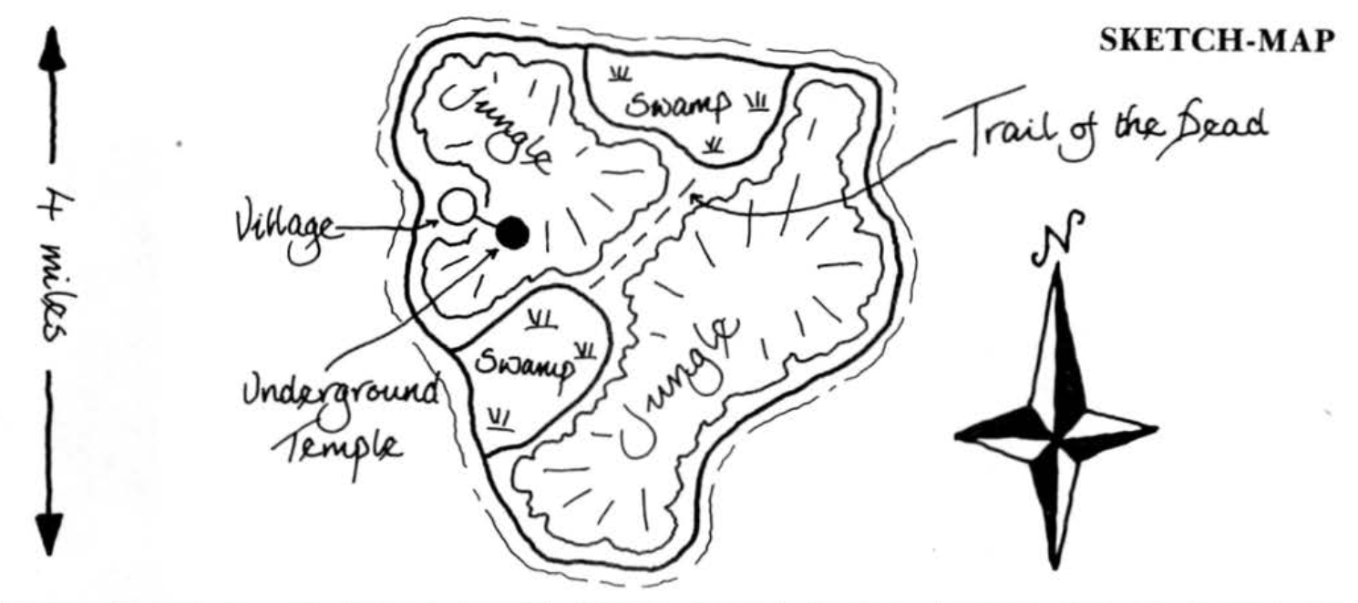
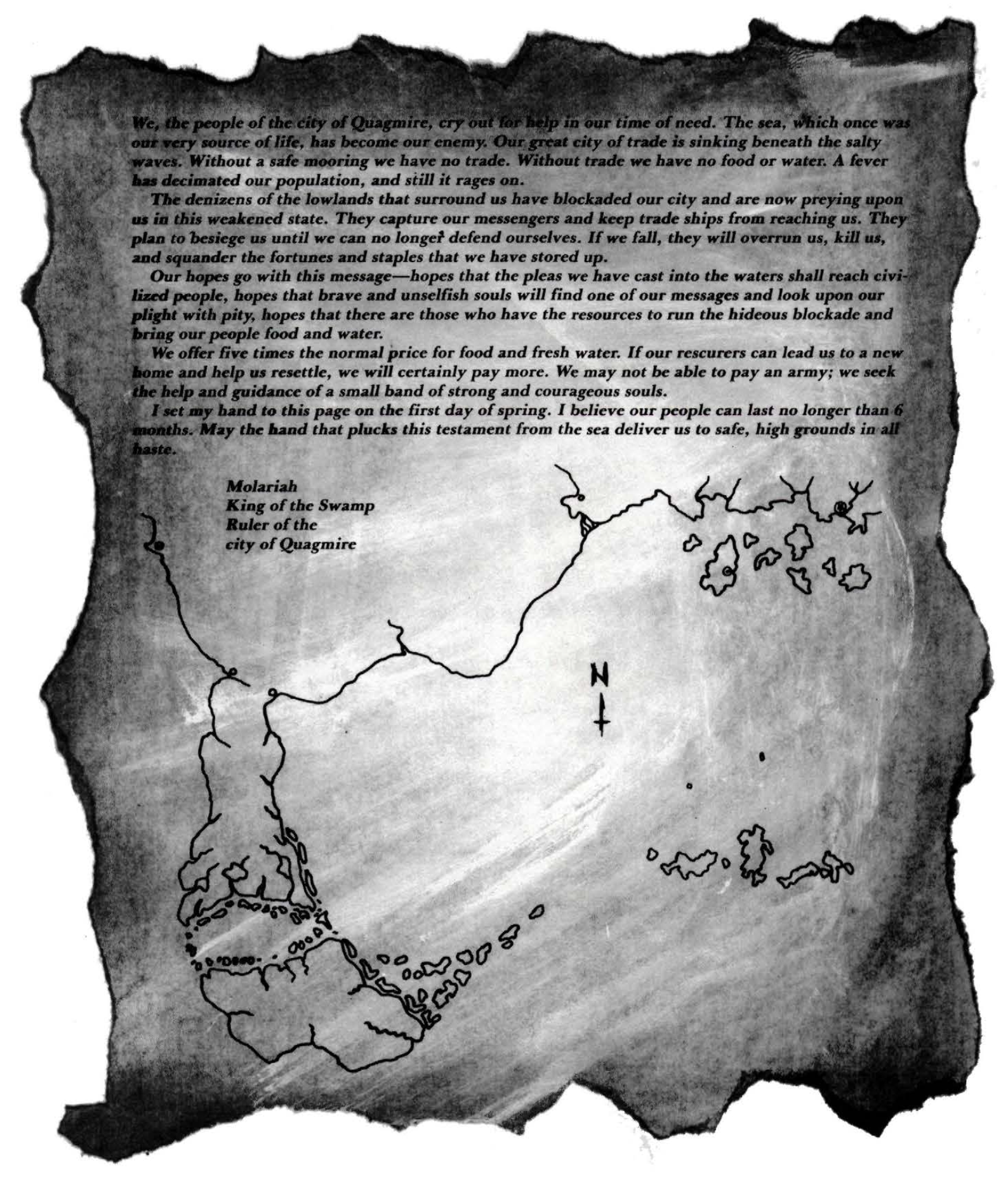
Rasmussen Sketch