2punti’s Oostdok
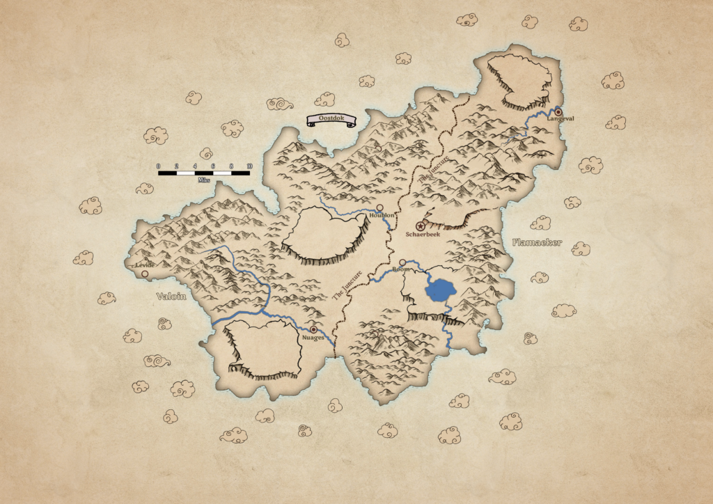
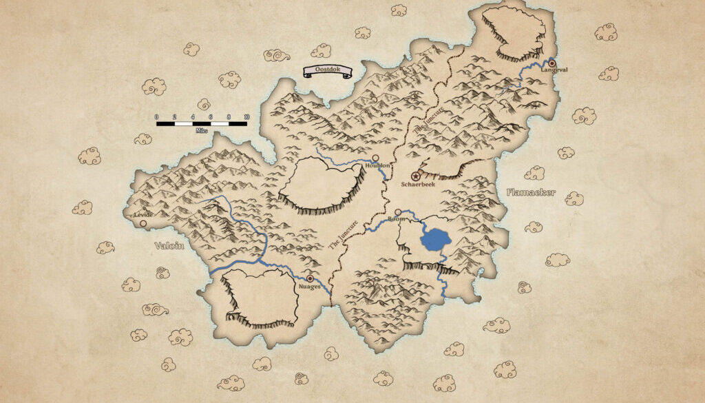
In November 2024, 2punti shared this map at The Piazza along with some others he had created for his campaign. While his other maps focused on the Shadowlands, this one covers a previously unmapped area: the floating continent of Oostdok in the Hollow World. Like his other maps, 2punti created this one in Wonderdraft, using a nicely thematic sepia colour scheme.
In his own words:
I used Belgium as a base, then followed the description the PWA3 gave. The other cities, aside from the capital, are my creation. I toyed with French and Dutch words for their names. The map is still quite empty. I may add some other features in the future, like mines, forest, other rivers and lakes. The Juncture is the fracture where the two islands were joined after the impact.
Not only is this the first ever map of Oostdok, but it’s also one of only a handful of maps of floating continents. (The main others are Alphatia, which remained much the same as its 1000 AC map, and Ashmorain from HWA2.) Given the character and vibrancy of the setting, it’s quite surprising that it took us as a community more than 20 years to map Oostdok.
It’s a great step forward for gnome fans everywhere.
Fan-made Map by 2punti (April 2024)

This is an original map created by one of Mystara’s excellent fan cartographers. For more information on the cartographer, including a gallery of all their maps, see also Appendix M: Mappers of Mystara.
Sources
- The Voyage of the Princess Ark Part 9: Land, ho … 12 o’clock!, Dragon #162 (October 1990)
- Poor Wizard’s Almanac III (1994) (PDF at DriveThruRPG)
Fan Sources
- None
References
- All of 2punti’s maps at the Atlas of Mystara
- 2punti’s entry in Appendix M: Mappers of Mystara (upcoming)
- 2punti’s author page at the Vaults of Pandius
- Something from my campaign you may find useful thread at The Piazza (November 2024)
Chronological Analysis
This is a fan-made map. It was published in November 2024. The updated Atlas version of this map is not yet available. See also Appendix C for annual chronological snapshots of the area. For the full context of this map in Mystara’s publication history, see the upcoming Let’s Map Mystara 2024. (Please note that it may be some time before the project reaches this point.)
The following lists are from the Let’s Map Mystara project. Additions are new features, introduced in this map. Revisions are changes to previously-introduced features. Hex Art & Fonts track design elements. Finally, Textual Additions are potential features found in the related text. In most cases, the Atlas adopts these textual additions into updated and chronological maps.
Under Construction! Please check back again soon for updates.


