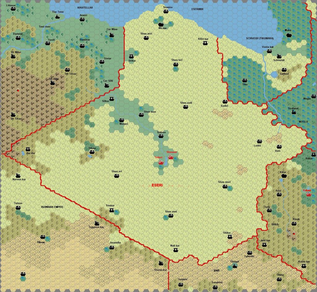
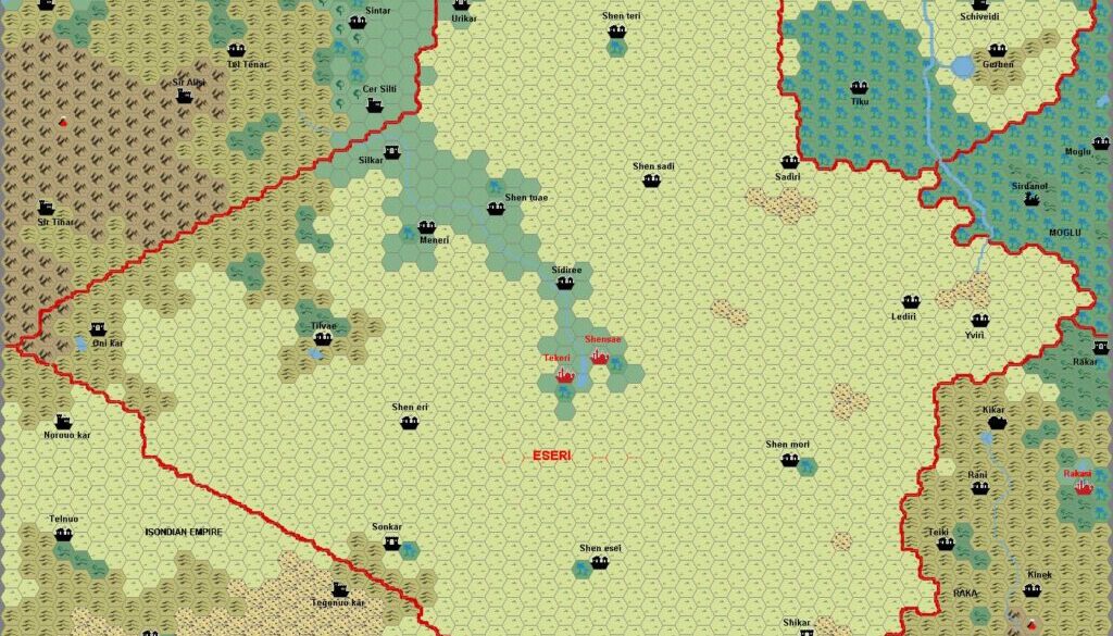
Sturm’s Eseri, 8 miles per hex
The third of Francesco’s early Davania maps developed from his Northwestern Davania map came a couple of years later, in 2003. It was part of the release of Mystaran Almanac 1019 AC, in which all four maps (Schweidnitz, Tlik’kkil, Eseri and Mogluur) appeared.
The Free Prairies of Eseri is a nation of allied centaurs and humans, with twin capitals at its centre. Eseri’s map continues the trend of Tlik’kkil’s, with localised names for surrounding countries. Of particular interest here is the Eseri name for Schweinitz, which we here learn is Schiveidi.
This map of course shows Eseri at this level of detail for the first time, but it also provides a peek at some of the surrounding realms — many of which remain unmapped at this scale to this day. Thus we can see here parts of Kwithellar (top left), the Izondian Empire (bottom), and Raka (bottom right).
Fan-made Map by Francesco Defferrari (February 2003)

This is an original map created by one of Mystara’s excellent fan cartographers. For more information on the cartographer, including a gallery of all their maps, see also Appendix M: Mappers of Mystara.
Sources
- None
Fan Sources
- Sturm’s Schweidnitz, 8 miles per hex v1 (2001)
- Mystaran Almanac AC 1019 (2003, 2006) (Vaults of Pandius)
References
- All of Francesco’s maps at the Atlas of Mystara
- Francesco’s entry in Appendix M: Mappers of Mystara (upcoming)
- Francesco’s author page at the Vaults of Pandius
Chronological Analysis
This is a fan-made map. It was published in February 2003. The updated Atlas version of this map is not yet available. See also Appendix C for annual chronological snapshots of the area. For the full context of this map in Mystara’s publication history, see the upcoming Let’s Map Mystara 2003. (Please note that it may be some time before the project reaches this point.)
The following lists are from the Let’s Map Mystara project. Additions are new features, introduced in this map. Revisions are changes to previously-introduced features. Hex Art & Fonts track design elements. Finally, Textual Additions are potential features found in the related text. In most cases, the Atlas adopts these textual additions into updated and chronological maps.
Under Construction! Please check back again soon for updates.
Additions
Revisions
Hex Art & Fonts
- Fonts — Arial.


