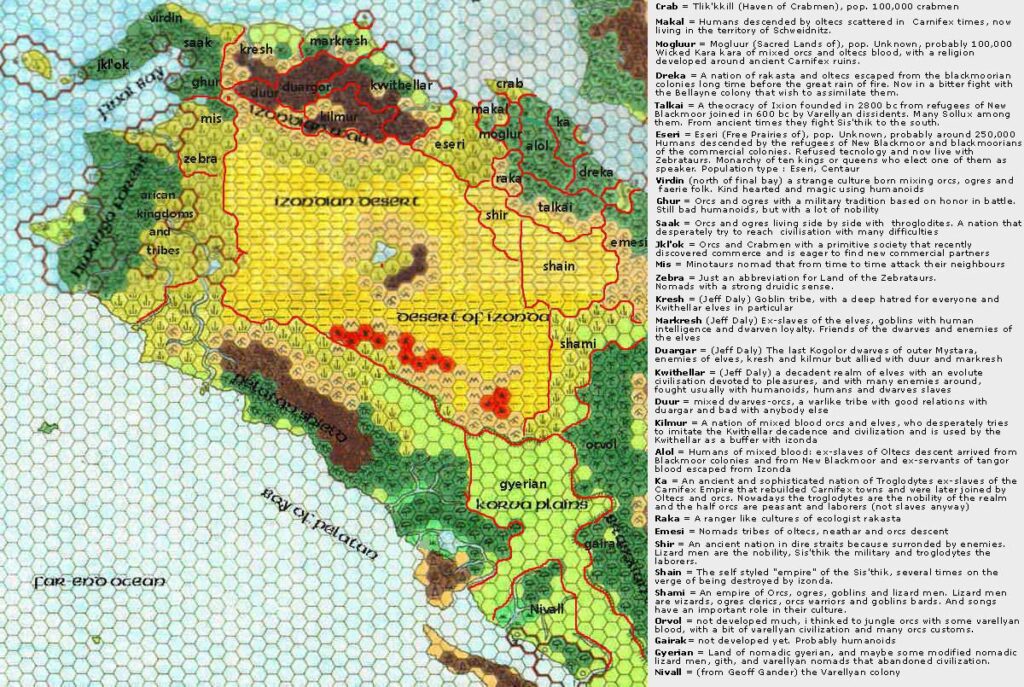
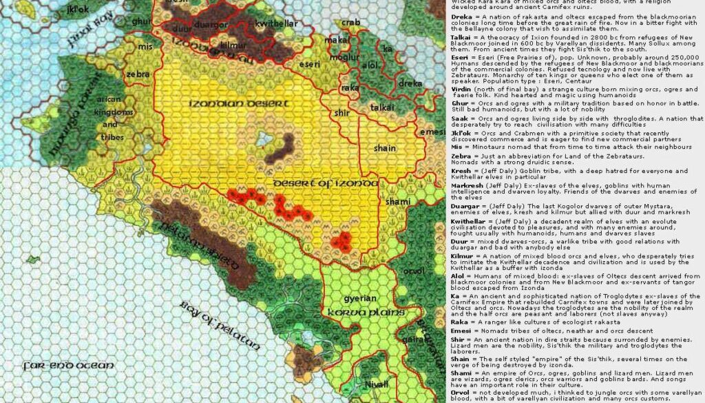
Thibault’s Northwestern Davania, 72 miles per hex
The actual map here is identical to its previous version, created in April 2001 by Francesco Defferrari using Geoff Gander’s Davania as a base. Thibault added textual descriptions of each nation for easy reference, distilling information from previous discussions in the Davania working group. The map is still, of course, a working reference rather than a finished map, but the extra text put all of the relevant info in one place, making it far more useful.
This image comes from discussions between Thibault, Francesco, and Geoff in 2006, when Thibault was working towards completing his Western Davania, 24 miles per hex map. Francesco later continued this work, incorporating various revisions including a major rethink of Davania’s dimensions (especially north-south), culminating in his world map in 2014.
But it all started with this draft and its predecessor.
Fan-made Map by Thibault Sarlat (January 2006)

This is an original map created by one of Mystara’s excellent fan cartographers. For more information on the cartographer, including a gallery of all their maps, see also Appendix M: Mappers of Mystara.
Sources
- Hollow World Campaign Set (1990) (PDF at DriveThruRPG)
- Outer World Planetary Map
Fan Sources
References
- All of Thibault’s maps at the Atlas of Mystara
- Thibault’s entry in Appendix M: Mappers of Mystara (upcoming)
- Thibault’s author page at the Vaults of Pandius
Chronological Analysis
This is a fan-made map. It was created in January 2006. The updated Atlas version of this map is not yet available. See also Appendix C for annual chronological snapshots of the area. For the full context of this map in Mystara’s publication history, see the upcoming Let’s Map Mystara 2006. (Please note that it may be some time before the project reaches this point.)
The following lists are from the Let’s Map Mystara project. Additions are new features, introduced in this map. Revisions are changes to previously-introduced features. Hex Art & Fonts track design elements. Finally, Textual Additions are potential features found in the related text. In most cases, the Atlas adopts these textual additions into updated and chronological maps.
Additions
- None.
Revisions
- Nations — Crab is noted to be an abbreviation for Haven of the Crabmen, also known as Tlik’kkill. Similarly, Zebra is Land of the Zebrataurs. Mogluur here receives its correct spelling, although the map label itself is unchanged. It’s also given a full title, Sacred Lands of Mogluur, as is Eseri, which is known in full as Free Prairies of Eseri. All of this information existed in text form before this map, of course, so technically it’s not new with this map.
Hex Art & Fonts
- Fonts — Verdana for the text descriptions.


