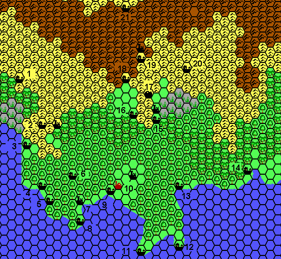
Agathokles’ Traladara 0-450 AC, 8 miles per hex
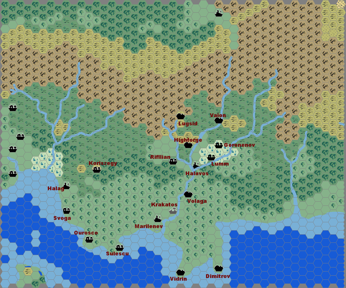
Giampaolo shared this historical map of Karameikos in early 2008. He based it largely on GAZ1, but including a few fan-made changes such as Kelvin (here Halavos) being a hex south of its GAZ1 location. This was an early Atlas edit to the map, and it’s likely he based this on that — although of course the change is also very much supported by GAZ1’s Kelvin town map.
Although I have marked the map 0-450 AC, in fact Giampaolo stated that it should be reasonably accurate for Traladara from 0 all the way up to the Thyatian invasion in 900 AC. The exception is Svoga, which he notes should be in ruins after 450 AC.
This wasn’t the first map of Traladara, but it was one of the earlier attempts at such a map. At the time it was made, the community hadn’t yet made that many historical maps. Just a few years later that would change quite drastically, with Francesco Defferrari’s own Traladara series, as well as John Calvin’s Mystara 2,300 BC project.
Fan-made Map by Giampaolo Agosta (January 2008)
This is an original map created by one of Mystara’s excellent fan cartographers. For more information on the cartographer, including a gallery of all their maps, see also Appendix M: Mappers of Mystara.
Sources
- GAZ1 The Grand Duchy of Karameikos (1987) (PDF at DriveThruRPG)
Fan Sources
- Thibault’s Traladara, 8 miles per hex 960 AC (2001)
- Atlas of Mystara (2005-present)
References
- All of Giampaolo’s maps at the Atlas of Mystara
- Giampaolo’s entry in Appendix M: Mappers of Mystara (upcoming)
- Giampaolo’s author page at the Vaults of Pandius
Chronological Analysis
This is a fan-made map. It was published in January 2008. The updated Atlas version of this map is not yet available. See also Appendix C for annual chronological snapshots of the area. For the full context of this map in Mystara’s publication history, see the upcoming Let’s Map Mystara 2008. (Please note that it may be some time before the project reaches this point.)
The following lists are from the Let’s Map Mystara project. Additions are new features, introduced in this map. Revisions are changes to previously-introduced features. Hex Art & Fonts track design elements. Finally, Textual Additions are potential features found in the related text. In most cases, the Atlas adopts these textual additions into updated and chronological maps.
Under Construction! Please check back again soon for updates.