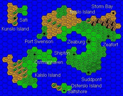
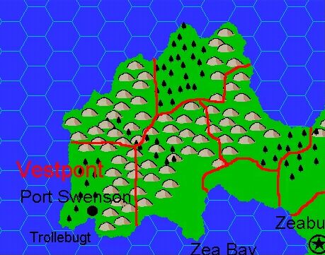
Jacob’s Vestpont, 8 miles per hex
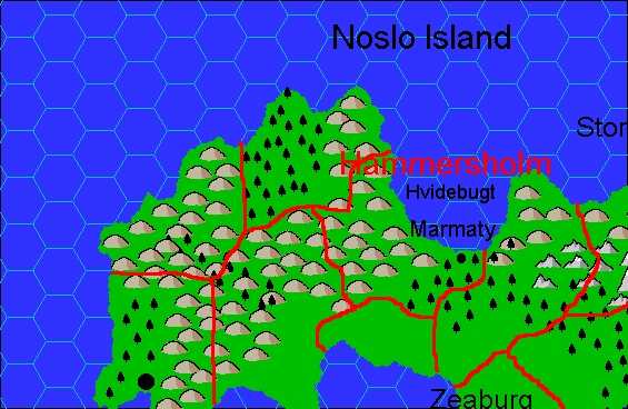
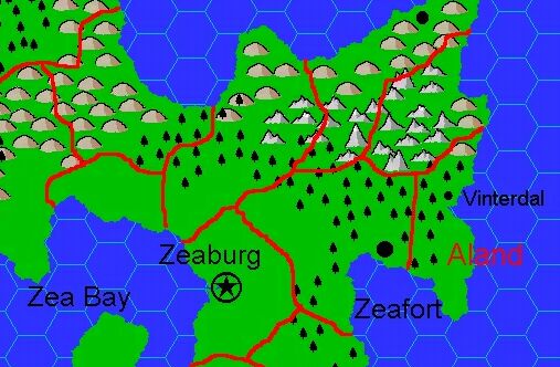
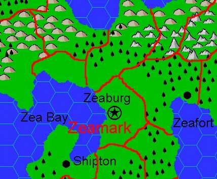
The first article in Jacob’s Complete Domains of Ostland series was the Clan Domain of Vestpont, in the southwestern corner of Noslo Island. Right away he provided a new geographical label in the form of Trollebugt, or Troll Bay. This is the first of many Norse-themed place names that Jacob would add to Ostland.
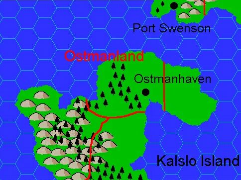
Although there are hexes, the terrain doesn’t quite conform to them, and the grid isn’t visible over the land. Also, while his overview map trimmed off the coasts, here Jacob actually adds more detailed coastlines than GAZ7 provided.
It’s not entirely clear whether Jacob created the maps with their associated articles, or all together at the end of his project in August 2002. For now, I am treating them as if they were concurrent. Either way, they were certainly produced between the start of his project in February 2000 and its completion in 2002.
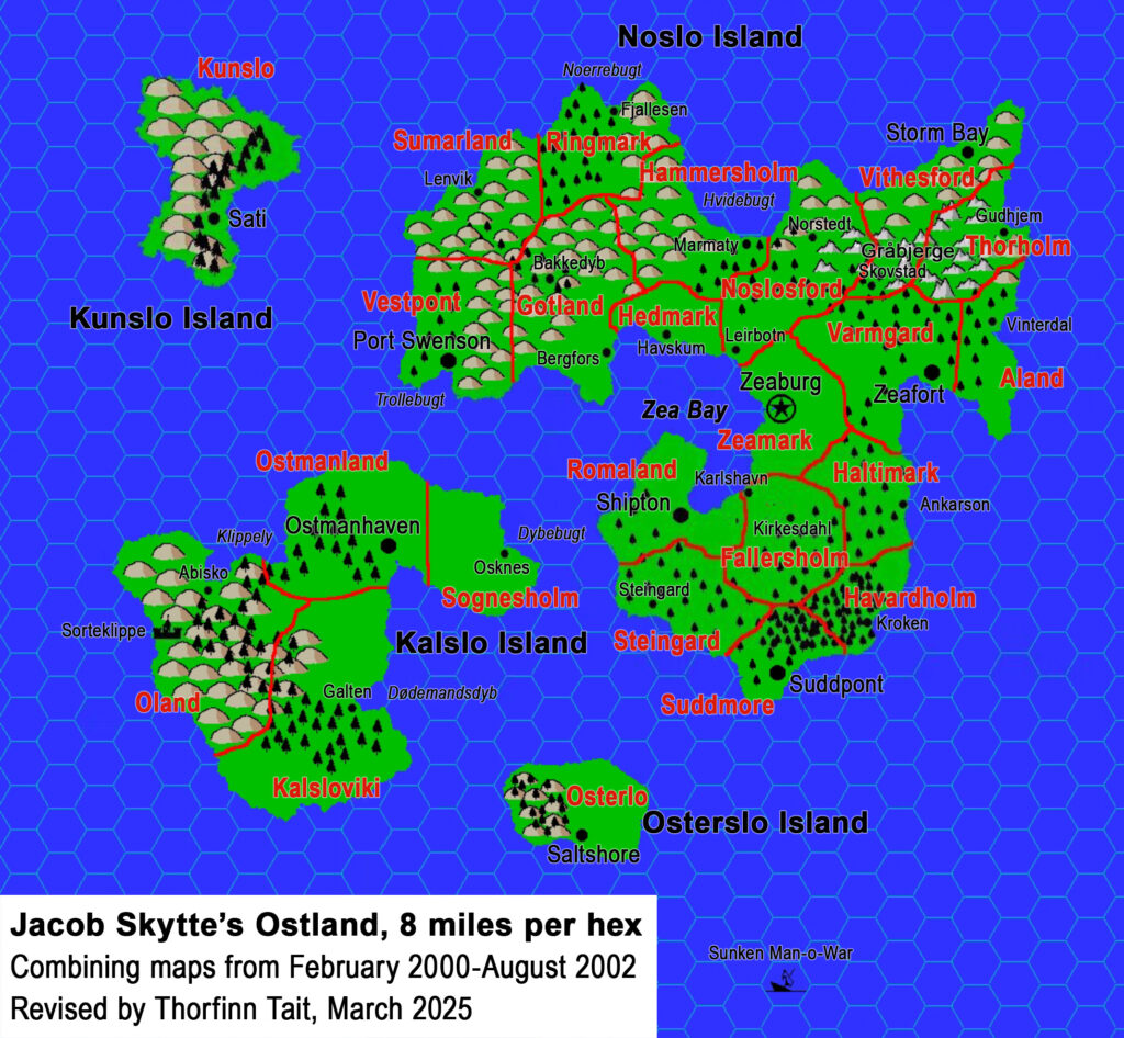
Fan-made Map by Jacob Skytte (February 2000)
This is an original map created by one of Mystara’s excellent fan cartographers. For more information on the cartographer, including a gallery of all their maps, see also Appendix M: Mappers of Mystara.
The Atlas has been unable to contact the original cartographer. This map therefore appears here without explicit permission from its creator. Any information on how to get in touch with them would be most welcome.
Sources
- GAZ7 The Northern Reaches (1988) (PDF at DriveThruRPG)
Fan Sources
- The Complete Domains of Ostland 1st Ed by Jacob Skytte (August 2002) (Vaults of Pandius)
- The Clan Domain of Vestpont (February 2000) (Vaults of Pandius)
References
- All of Jacob’s maps at the Atlas of Mystara
- Jacob’s author page at the Vaults of Pandius
Chronological Analysis
This is a fan-made map. It was probably published in February 2000. The updated Atlas version of this map is Northern Reaches, 8 miles per hex. See also Appendix C for annual chronological snapshots of the area. For the full context of this map in Mystara’s publication history, see the upcoming Let’s Map Mystara 2000.
The following lists are from the Let’s Map Mystara project. Additions are new features, introduced in this map. Revisions are changes to previously-introduced features. Hex Art & Fonts track design elements. Finally, Textual Additions are potential features found in the related text. In most cases, the Atlas adopts these textual additions into updated and chronological maps.
Additions
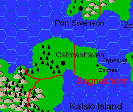
- Bays — The label for Trollebugt is new here, though of course the bay itself appeared on previous maps.
Revisions
- None.
Hex Art & Fonts
- Hex Art — Highly saturated Campaign Cartographer 2 non-hex art style.
- Font — Arial.
Textual Additions (Complete Domains of Ostland, 2000-2002)
- Battles — The Battle of Trollebugt took place in 977 AC on the shores of the bay. It was fought between berserker warriors of Thor and the local hill trolls, resulting in the latter being forced out of the area.
- Bays — Trollebugt is noted to mean “Troll Bay”. It is named for the battle that took place there in 977 AC. See also Battles above.
- Rulers — Anlaf Geirmundson is the Jarl, Head of Clan Vestpont. Although the name was listed in GAZ7 (Player’s Book page 13), Jacob worked up a full description.