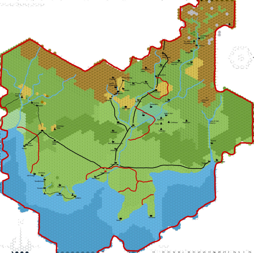
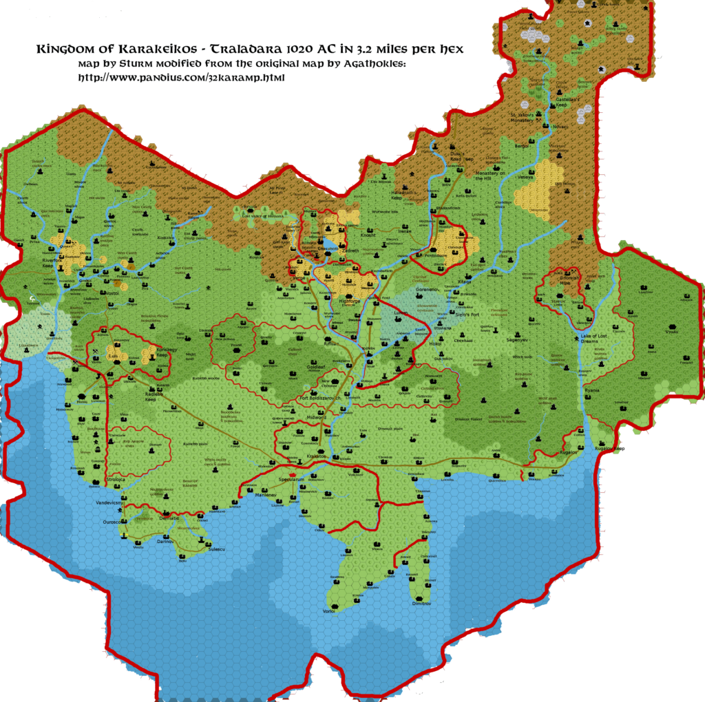
Agathokles’ Karameikos, 3.2 miles per hex
In October 2009, Giampaolo posted this detailed map of Karameikos over at The Piazza. At 3.2 miles per hex, it was the most detailed map of the whole nation available at the time. Giampaolo explained the peculiar scale as follows:
I didn’t use precise measures for the map, because it is based on a hexless map from K:KoA, which I rescaled to fit an A3 paper sheet (for printing). I then superimposed a standard HexGIMP hex grid, so the hex dimension is a function of those measures rather than a choice.
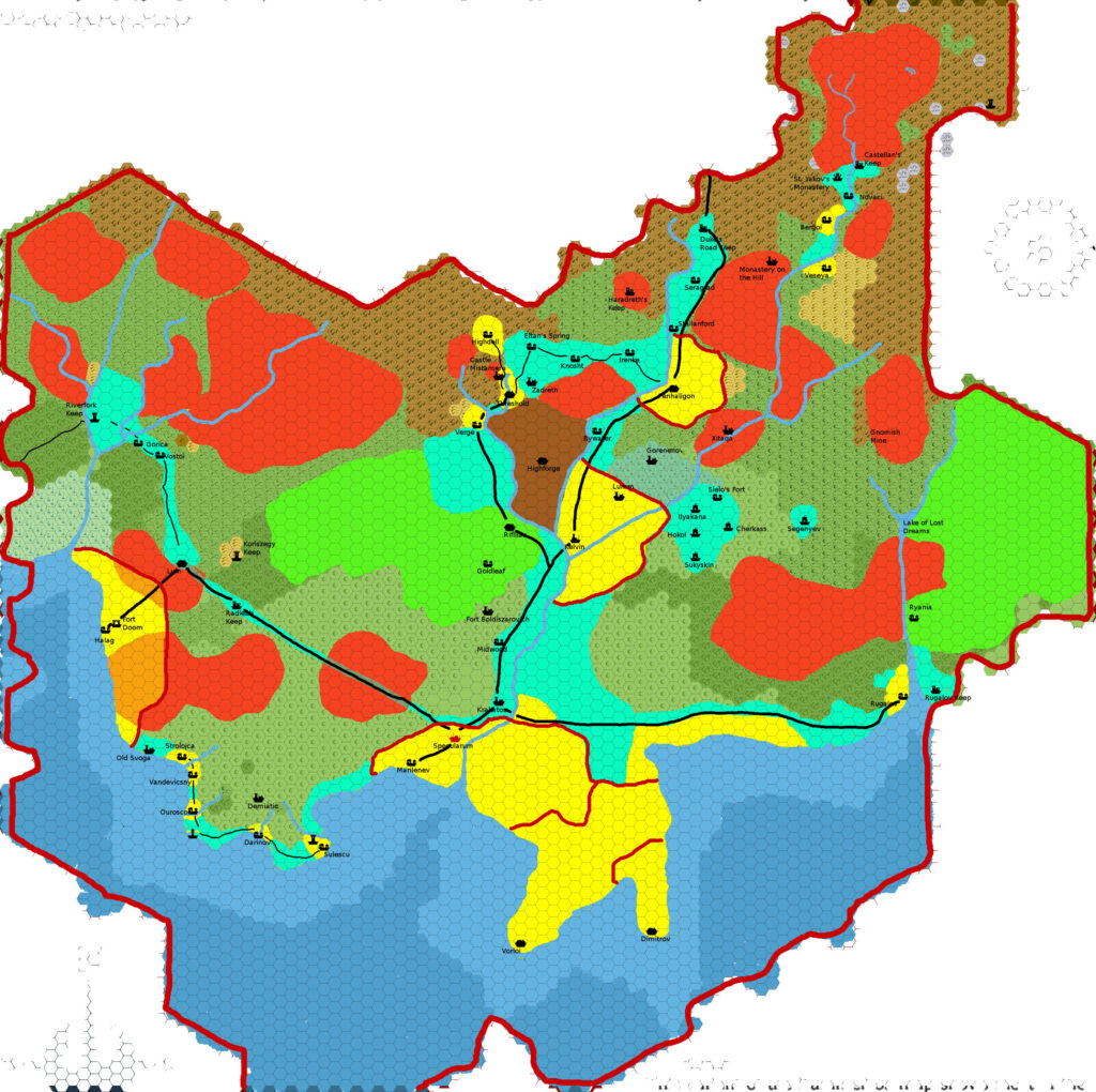
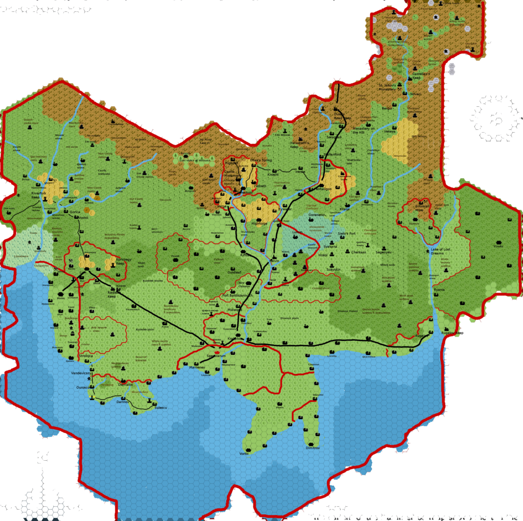
This map quickly became quite popular. Giampaolo produced an alternate version showing tribal areas of control, and later Francesco Defferrari further built on it, completing Giampaolo’s work and adapting it to his own view of Mystara.
Fan-made Map by Giampaolo Agosta (October 2009)
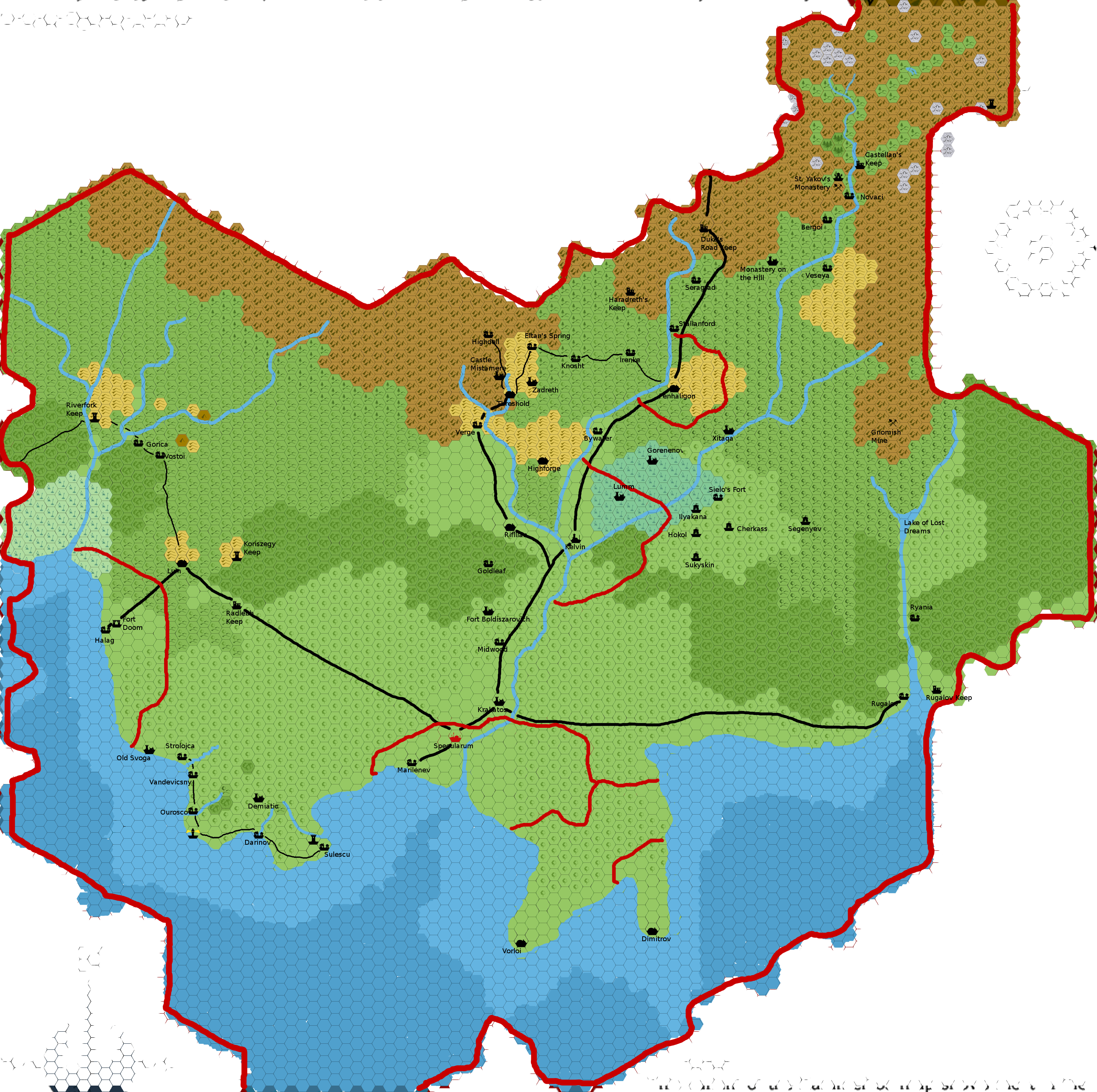
This is an original map created by one of Mystara’s excellent fan cartographers. For more information on the cartographer, including a gallery of all their maps, see also Appendix M: Mappers of Mystara.
Sources
- GAZ1 The Grand Duchy of Karameikos (1987) (PDF at DriveThruRPG)
- B10 Night’s Dark Terror (1986) (PDF at DriveThruRPG)
- B11 King’s Festival (1989) (PDF at DriveThruRPG)
- B12 Queen’s Harvest (1989) (PDF at DriveThruRPG)
- Karameikos: Kingdom of Adventure (1994) (PDF at DriveThruRPG)
Fan Sources
- River of Blood by Giampaolo Agosta (September 2008) (Vaults of Pandius)
- Cry Wolf! by Giampaolo Agosta (February 2009) (Vaults of Pandius)
- Map of Karameikos 3.2 miles/hex by Giampaolo Agosta (October 2009) (Vaults of Pandius)
- Giampaolo’s comment in Sturm’s Karameikos developing thread (July 2014) (The Piazza)
References
- All of Giampaolo’s maps at the Atlas of Mystara
- Giampaolo’s entry in Appendix M: Mappers of Mystara (upcoming)
- Giampaolo’s author page at the Vaults of Pandius
Chronological Analysis
This is a fan-made map. It was published in October 2009. The updated Atlas version of this map is not yet available. See also Appendix C for annual chronological snapshots of the area. For the full context of this map in Mystara’s publication history, see the upcoming Let’s Map Mystara 2009.
The following lists are from the Let’s Map Mystara project. Additions are new features, introduced in this map. Revisions are changes to previously-introduced features. Hex Art & Fonts track design elements. Finally, Textual Additions are potential features found in the related text. In most cases, the Atlas adopts these textual additions into updated and chronological maps.
Under Construction! Please check back again soon for updates.