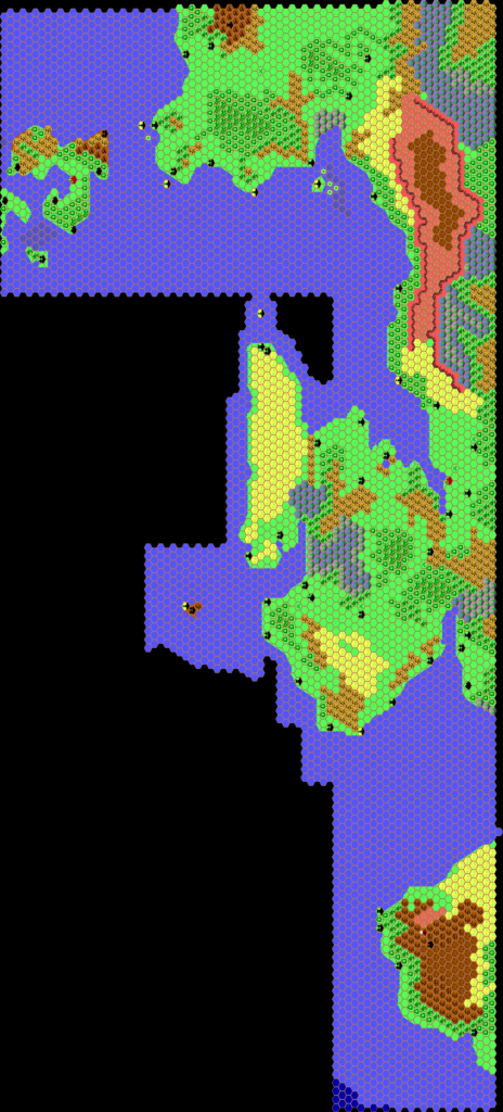
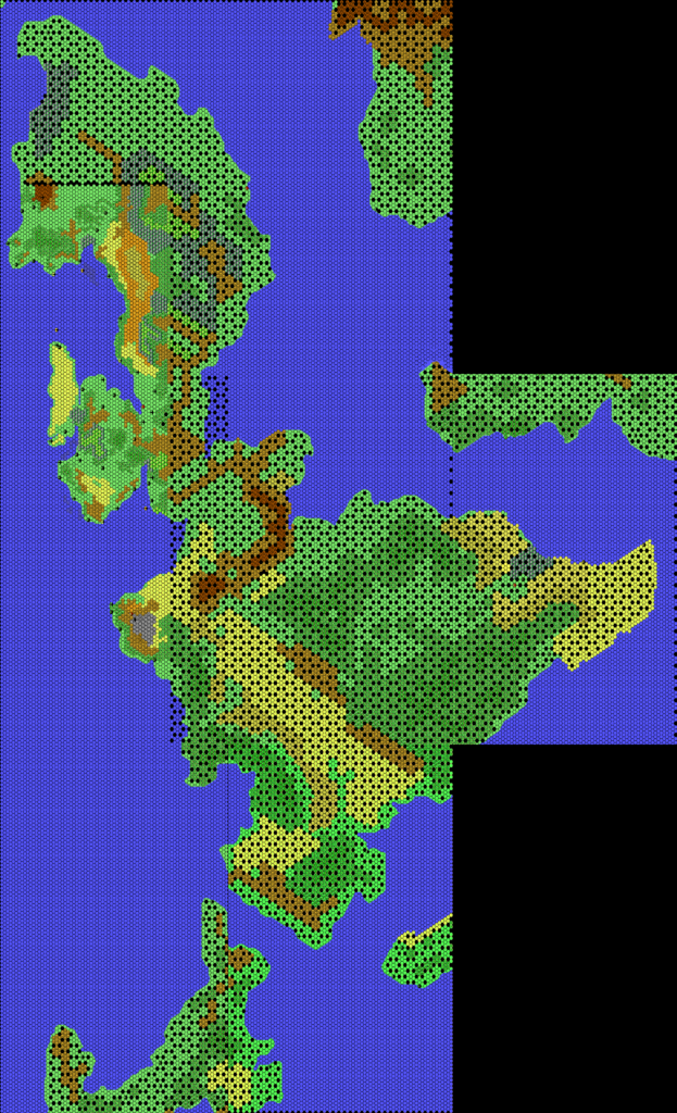
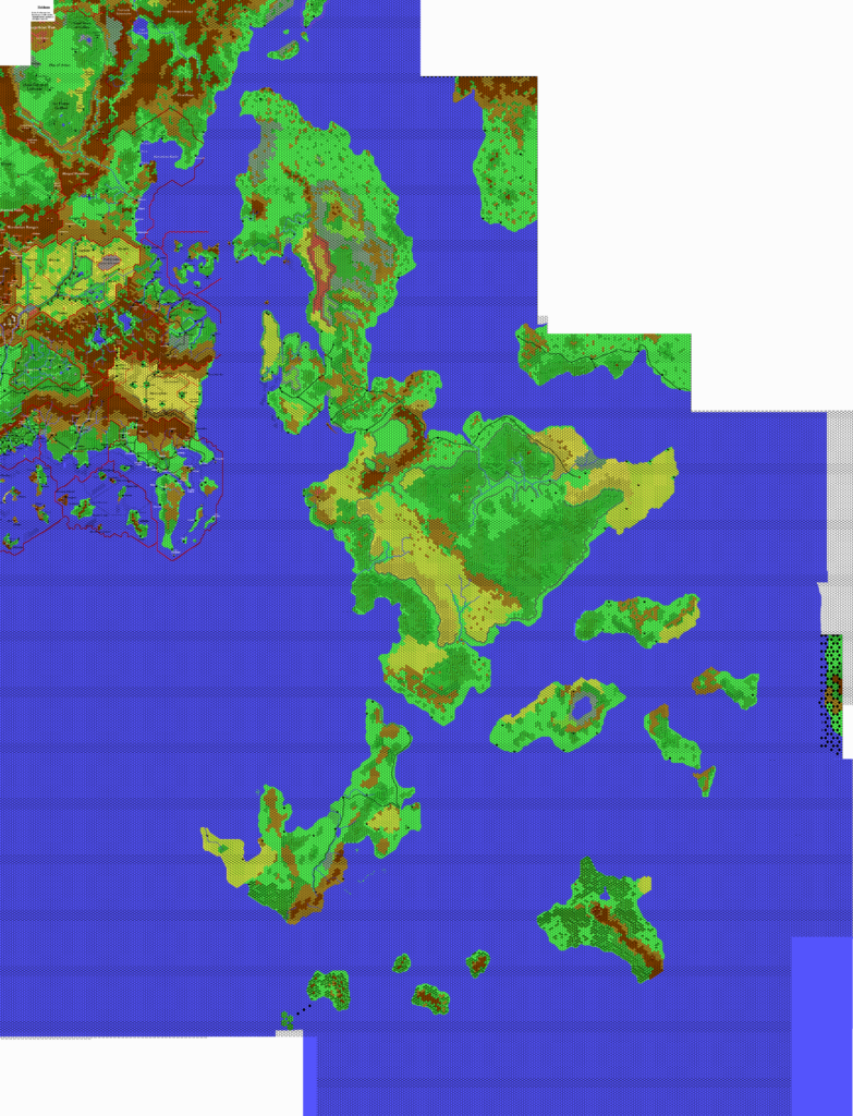
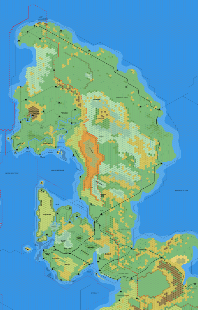
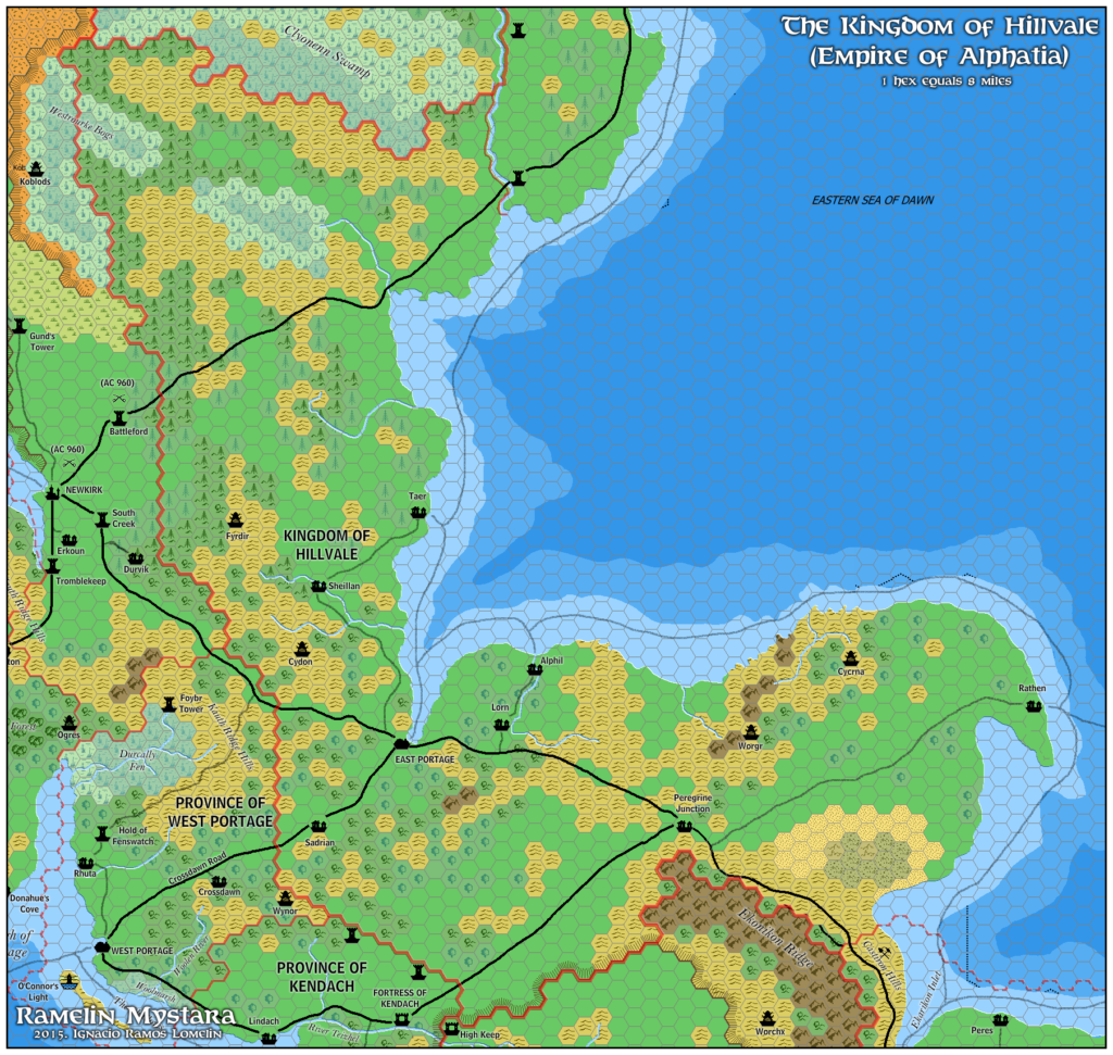
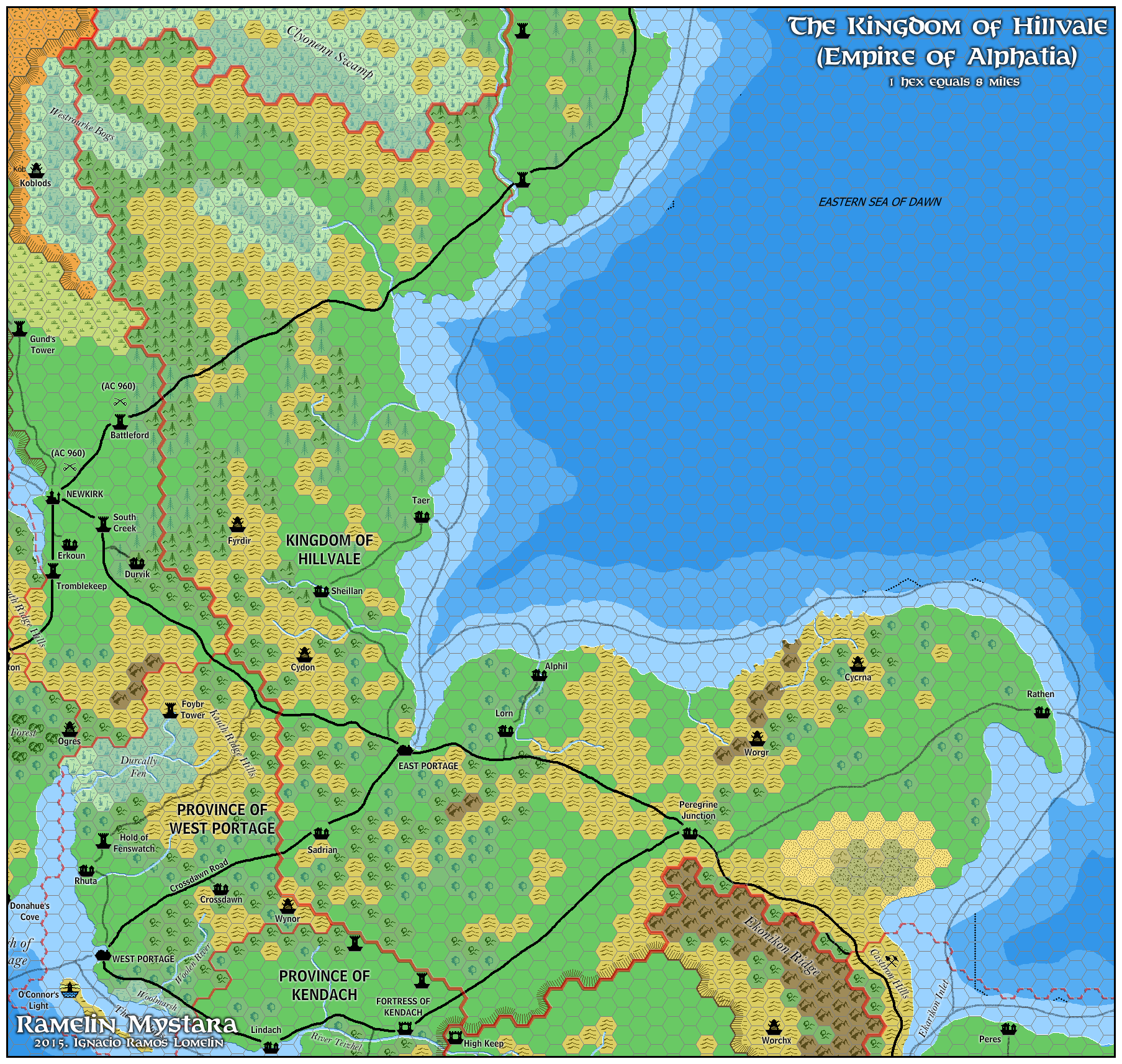
Ramelin’s Hillvale, 8 miles per hex
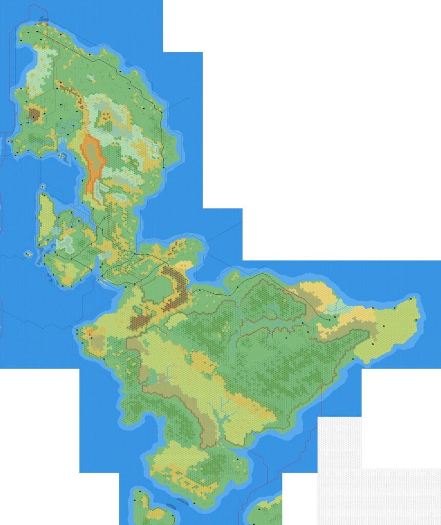
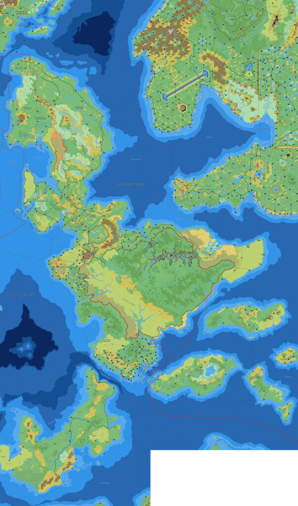
This was the last of a set of four maps of the Isle of Dawn that Jose shared to his Pinterest page in February 2016. Most of Hillvale had already been covered on the edges of his Westrourke and Redstone maps, along with his Ekto map from late 2015. The main new part was northern Hillvale and the border with Dunadale, but Jose left this almost entirely undeveloped; though he added two towers to Dunadale’s border, he uncharacteristically left them unnamed.
The main purpose of this map, therefore, was to present the entire Kingdom of Hillvale in one map.
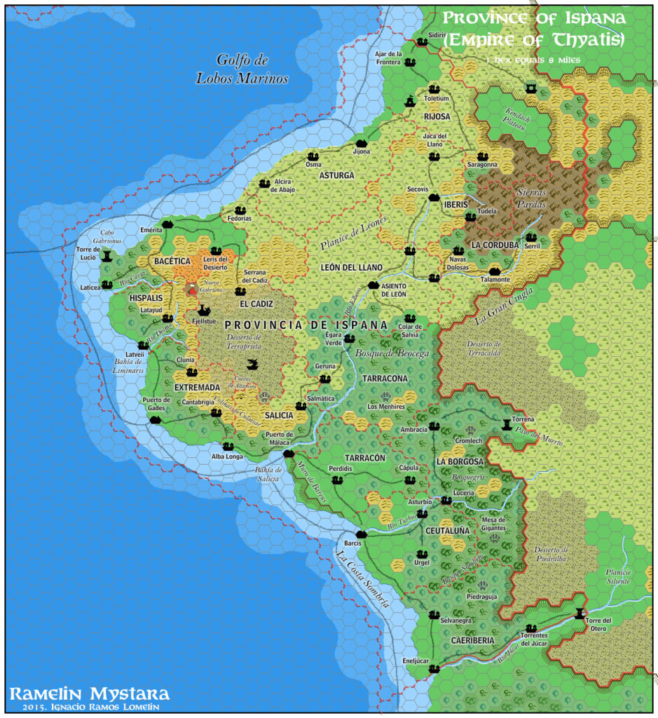
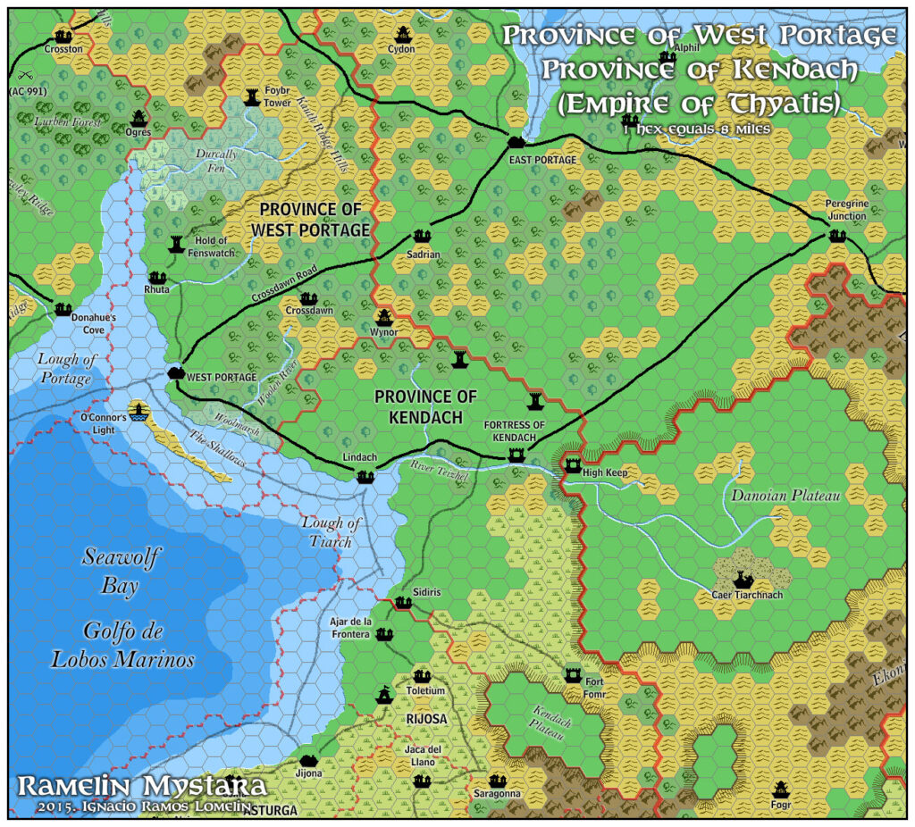
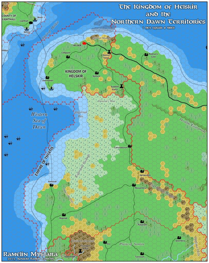
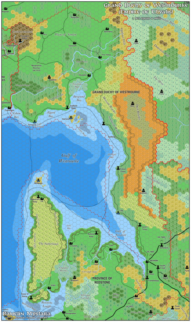
Fan-made Map by Jose Ignacio Ramos Lomelin (February 2016)
This is an original map created by one of Mystara’s excellent fan cartographers. For more information on the cartographer, including a gallery of all their maps, see also Appendix M: Mappers of Mystara.
Sources
- Dawn of the Emperors (1989) (PDF at DriveThruRPG)
- TM2 The Eastern Countries (1989) (PDF at DriveThruRPG)
Fan Sources
- Thibault’s Isle of Dawn, 8 miles per hex v4 (September 2002)
- Mark’s Isle of Dawn North, 8 miles per hex (September 2006)
References
- All of Jose’s maps at the Atlas of Mystara
- Jose’s entry in Appendix M: Mappers of Mystara (upcoming)
- Jose’s author page at the Vaults of Pandius
Chronological Analysis
This is a fan-made map. It was published in February 2016. The updated Atlas version of this map is not yet available. See also Appendix C for annual chronological snapshots of the area. For the full context of this map in Mystara’s publication history, see the upcoming Let’s Map Mystara 2016.
The following lists are from the Let’s Map Mystara project. Additions are new features, introduced in this map. Revisions are changes to previously-introduced features. Hex Art & Fonts track design elements. Finally, Textual Additions are potential features found in the related text. In most cases, the Atlas adopts these textual additions into updated and chronological maps.
Coming Soon