Dragon 170 Yavdlom, 8 miles per hex
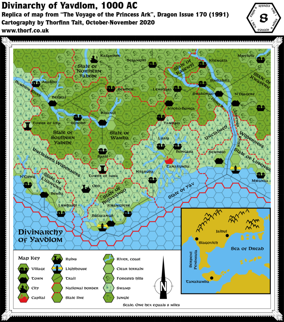
Following on from the previous issue’s hex map of Sind, Dragon 170’s Voyage of the Princess Ark was the first to provide a new hex map at the iconic 8 mile per hex scale of the Gazetteer series. The series would go on to feature many more of these, covering most of the Savage Coast. But this was the first.
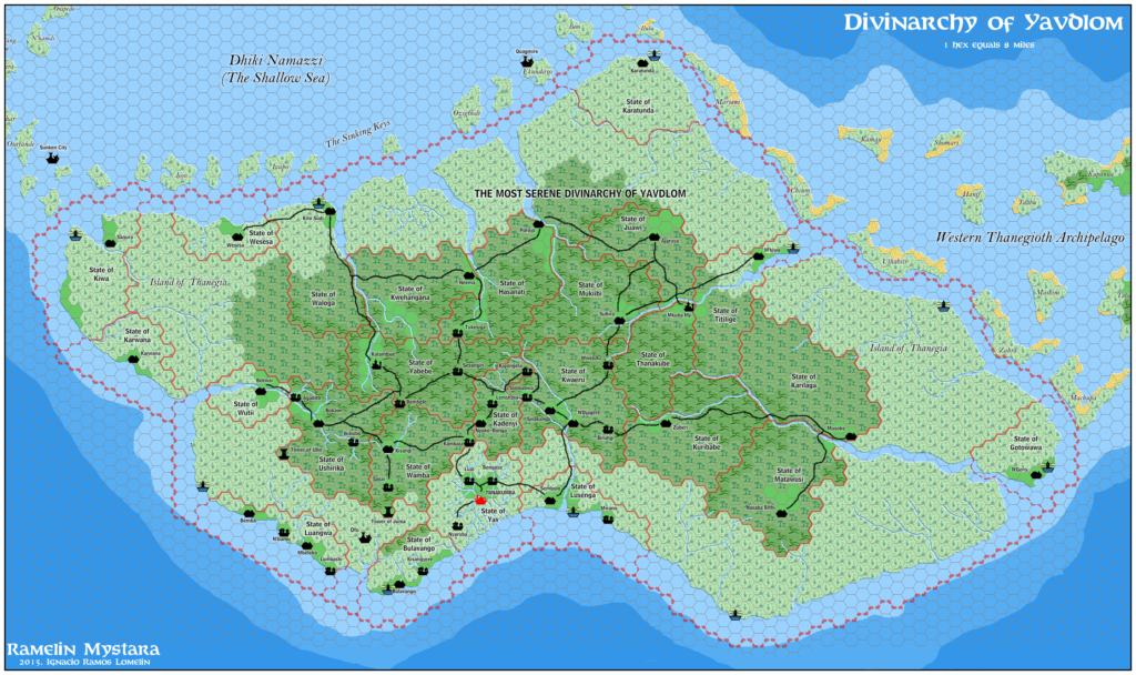
The map covers the central southern part of Thanegia Island, centred on Yavdlom’s capital of Tanakumba. This was the first time for the area to appear at this scale; previously it appeared at 24 miles per hex in X6 Quagmire! Tanakumba was featured in X6 under the name of Thanopolis, but Dragon 170 redeveloped the region into the Yavdlom Divinarchy.
Replica Map (November 2020)

Sources
- The Voyage of the Princess Ark: Part 17: The Serpent Peninsula revisited, Dragon 170 (June 1991)
- Page 42 map
Chronological Analysis
This is Map 163. It was published in June 1991. The updated version of this map has not yet been released. See also Appendix C for annual chronological snapshots of the area. For the full context of this map in Mystara’s publication history, see the upcoming Let’s Map Mystara 1991.
The following lists are from the Let’s Map Mystara project. Additions are new features, introduced in this map. Revisions are changes to previously-introduced features. Hex Art & Fonts track design elements. Finally, Textual Additions are potential features found in the related text. In most cases, the Atlas adopts these textual additions into updated and chronological maps.
Coming soon


