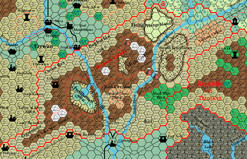
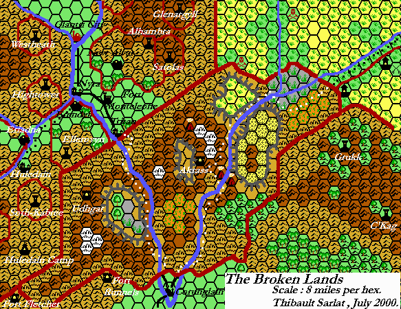
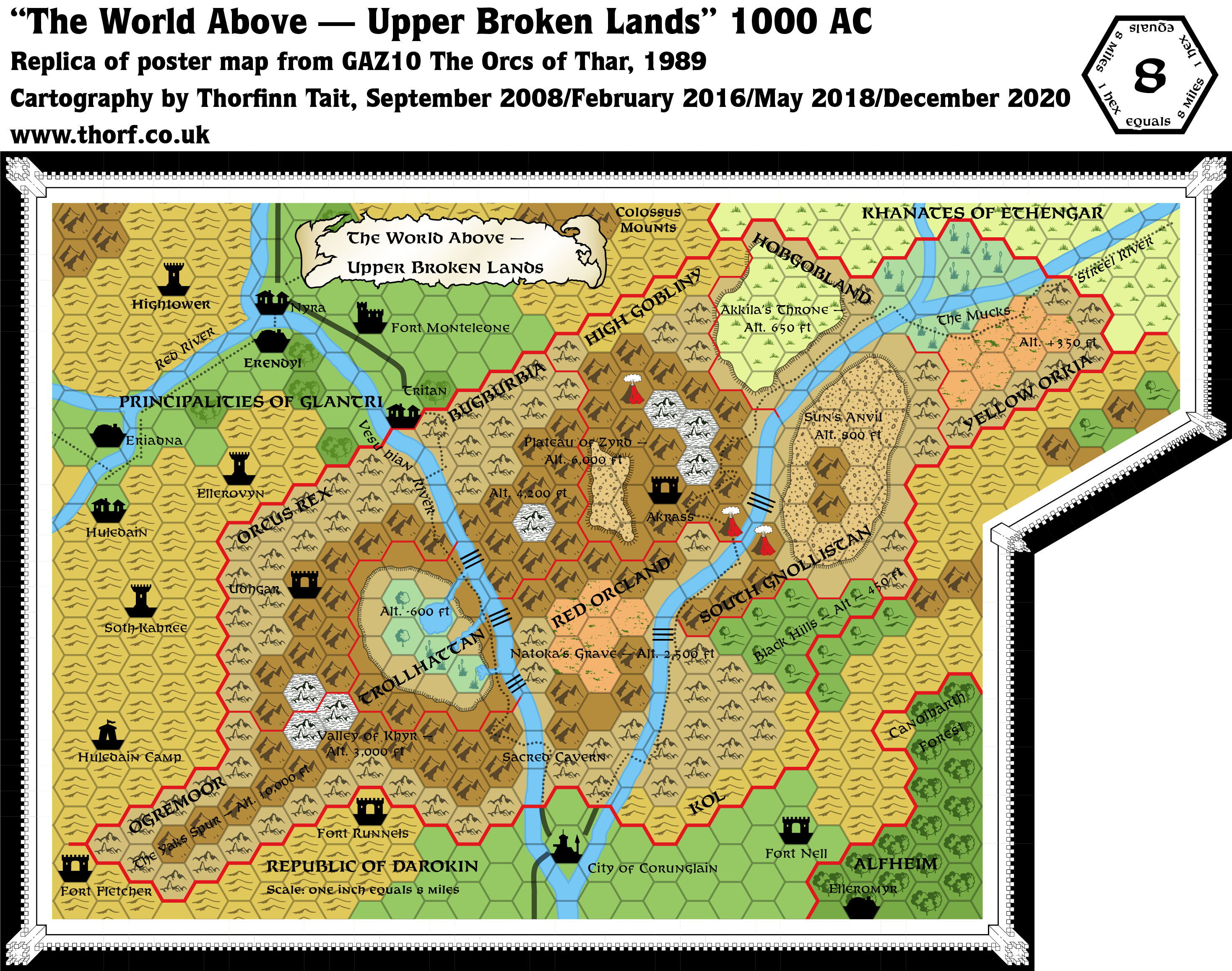
GAZ10 Broken Lands, 8 miles per hex
GAZ10’s map is a peculiar beast. Like GAZ6’s Rockhome (but even more so), the Broken Lands map gives you a strong sense that this is only the tip of the iceberg. In this case, there’s really not a lot to speak of in the above-ground map. All we can really see is which tribe of humanoids resides where, and that’s basically about it. The forested swamp hex is unique to this map. It’s interesting because in fact swamps and marshes can be distinguished by the presence or lack of trees. The Atlas‘s updated maps split swamp and marsh into separate icons, just as they are here.
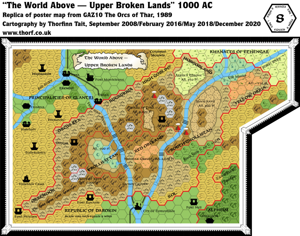
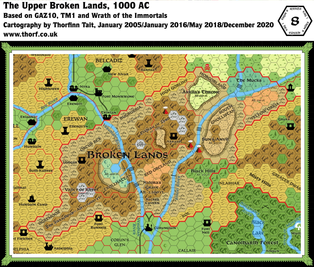
Replica Map (December 2020)
Sources
- GAZ10 The Orcs of Thar (1989) (PDF at DriveThruRPG)
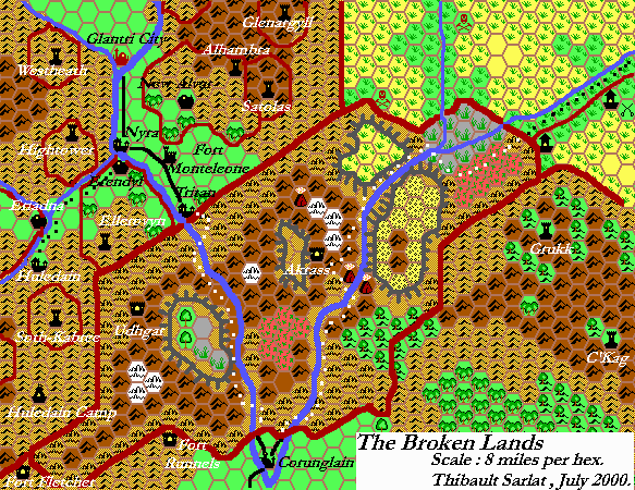
- Poster map (Cartography by Dave Sutherland)
Chronological Analysis
This is Map 104. It was published in January 1989. The updated version of this map is Broken Lands, 8 miles per hex. See also Appendix C for annual chronological snapshots of the area. For the full context of this map in Mystara’s publication history, see Let’s Map Mystara 1989.
The following lists are from the Let’s Map Mystara project. Additions are new features, introduced in this map. Revisions are changes to previously-introduced features. Hex Art & Fonts track design elements. Finally, Textual Additions are potential features found in the related text. In most cases, the Atlas adopts these textual additions into updated and chronological maps.
Under Construction! Please check back again soon for updates.
Additions
- Lakes —
- Rivers —
- Settlements —
- Terrain —
Revisions
- Seas —
- Spellings — Tritan is likely a typo of Trintan.
Hex Art & Fonts
- Symbols — Gazetteer series standard.
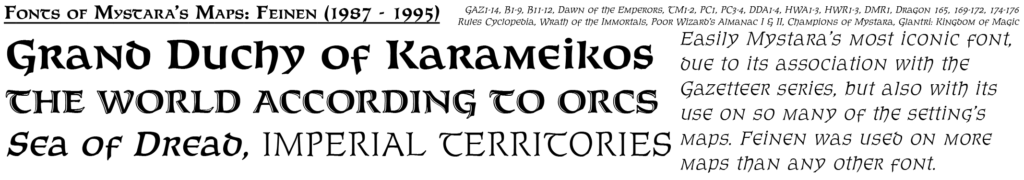
- Fonts — Feinen throughout.
Textual Additions (GAZ10)
- Spellings —