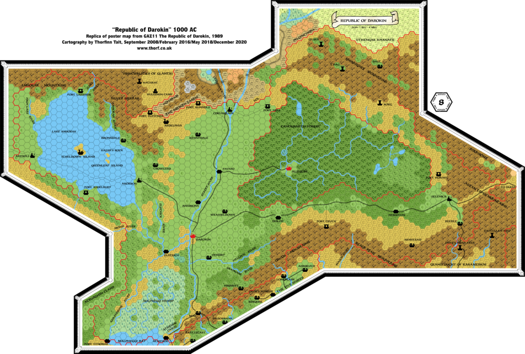
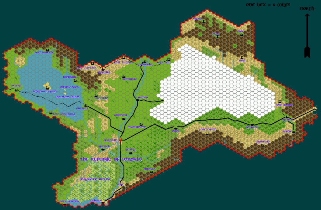
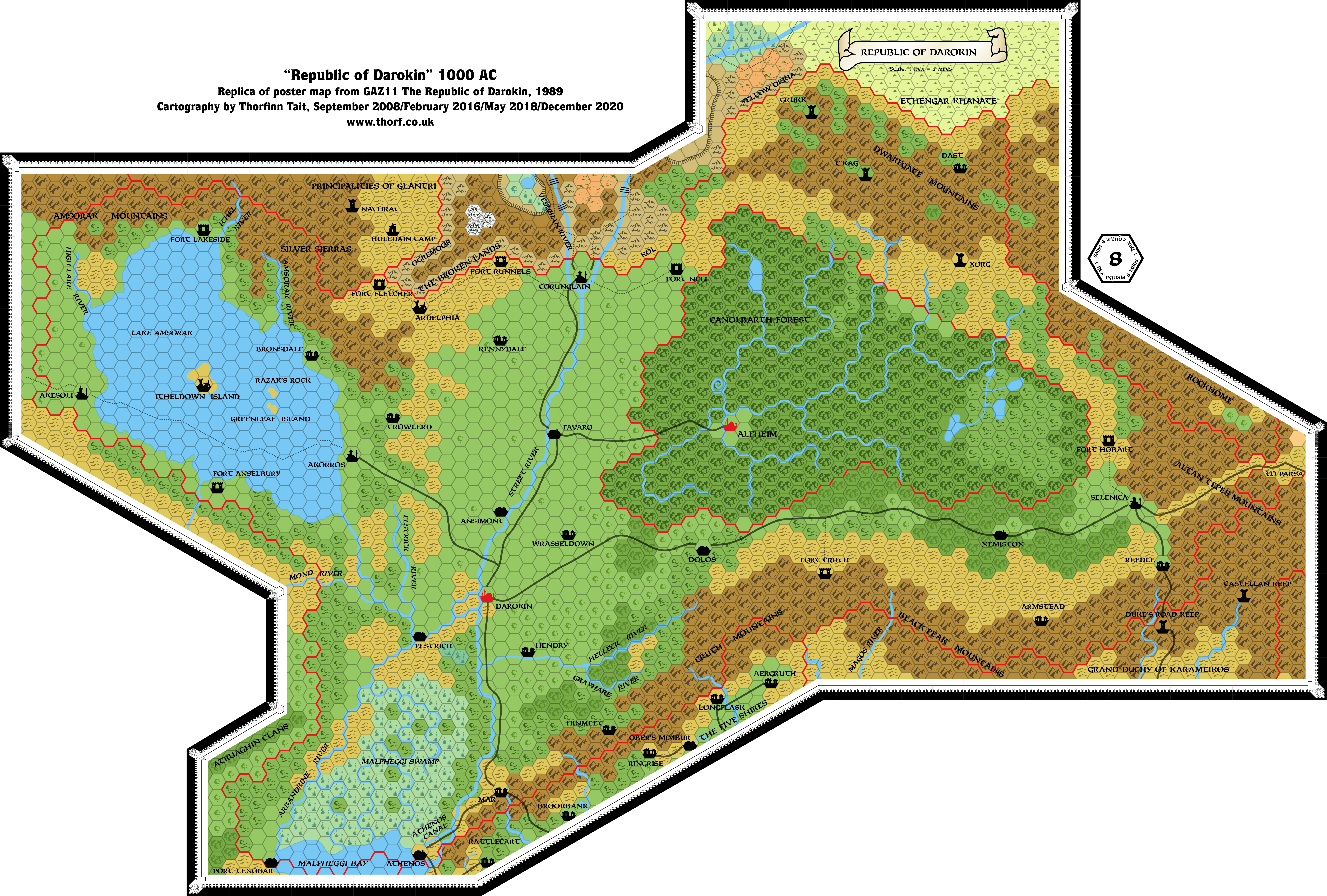
GAZ11 Darokin, 8 miles per hex
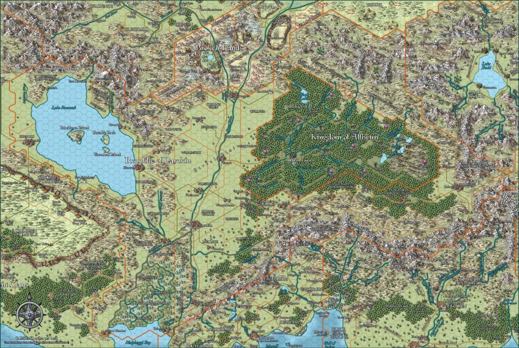
Darokin is a peculiar country, with territory sprawling across the Known World, bordering on no less than nine separate lands. It’s so central that without it the other nations seemed isolated, on the edge of an unknown wilderness.
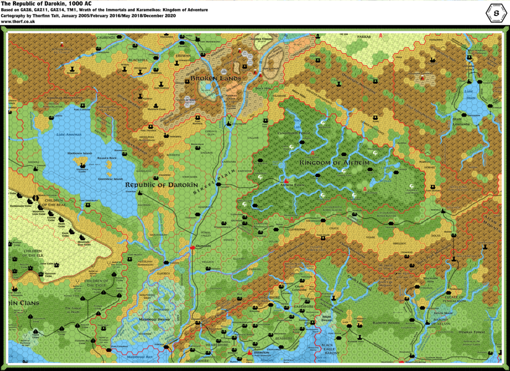
The country actually includes a very important stretch of fertile plains, which are likely the breadbasket of many surrounding lands. The map is developed to a nice stage, although the lack of provincial names was a shame. The gazetteer itself did contain borders for the provinces, but no names.
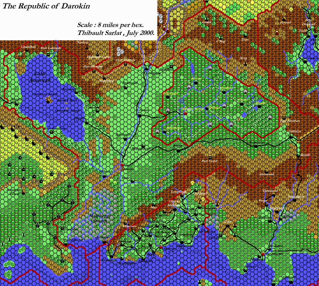
Replica Map (December 2020)
Sources
- GAZ11 The Republic of Darokin (1989) (PDF at DriveThruRPG)
- Poster map (Cartography by Dave Sutherland, Diesel, Dennis Kauth and Frey Graphics)
Chronological Analysis
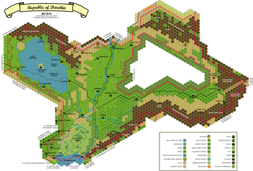
This is Map 106. It was published in March 1989. The updated version of this map is Darokin, 8 miles per hex. See also Appendix C for annual chronological snapshots of the area. For the full context of this map in Mystara’s publication history, see the upcoming Let’s Map Mystara 1989.
The following lists are from the Let’s Map Mystara project. Additions are new features, introduced in this map. Revisions are changes to previously-introduced features. Hex Art & Fonts track design elements. Finally, Textual Additions are potential features found in the related text. In most cases, the Atlas adopts these textual additions into updated and chronological maps.
Under Construction! Please check back again soon for updates.
Additions
- Settlements —
Revisions
- Settlements —
Hex Art & Fonts
- Hex Art —
- Fonts —
Textual Additions (GAZ11, 1989)
- Settlements —