One of Mystara’s first digital cartographers
Profile
- Nickname: Solmyr (Vaults author page)
- Location: Finland (originally from Russia)
- Maps Posted: 1997-2000
- Areas of Interest: Regional political maps
- Scales: Mostly non-hex, smaller scale
- First Posted Map: Players’ Map of the Alphatian Region (October 1997)
- Software: Campaign Cartographer for DOS (CC-DOS)
- Mapping Style: CC-DOS style; also simple line art, sometimes brightly coloured
- Fonts: CC-DOS fonts, Times
Overview
Aleksei was a member of the Mystara Mailing List during its heyday in the late 1990s. He has not been active in the community for many, many years, and I have been unable to track him down or get in touch with him. Consequently, the only information available to us about him is what he wrote in his posts to the MML, and the maps he shared on his web site. I’d also like to thank Greg Weatherup for helping me track down some of these maps.
Aleksei stated on the MML that he started playing D&D around age 14. His interest in Mystara was “Glantri and anything about magic/wizards”. He participated in a number of discussions on assorted topics, and his contributions to the community are archived at the Vaults of Pandius.
Campaign Cartographer
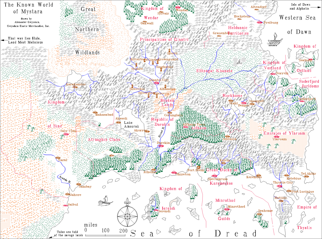
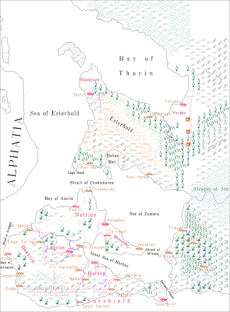
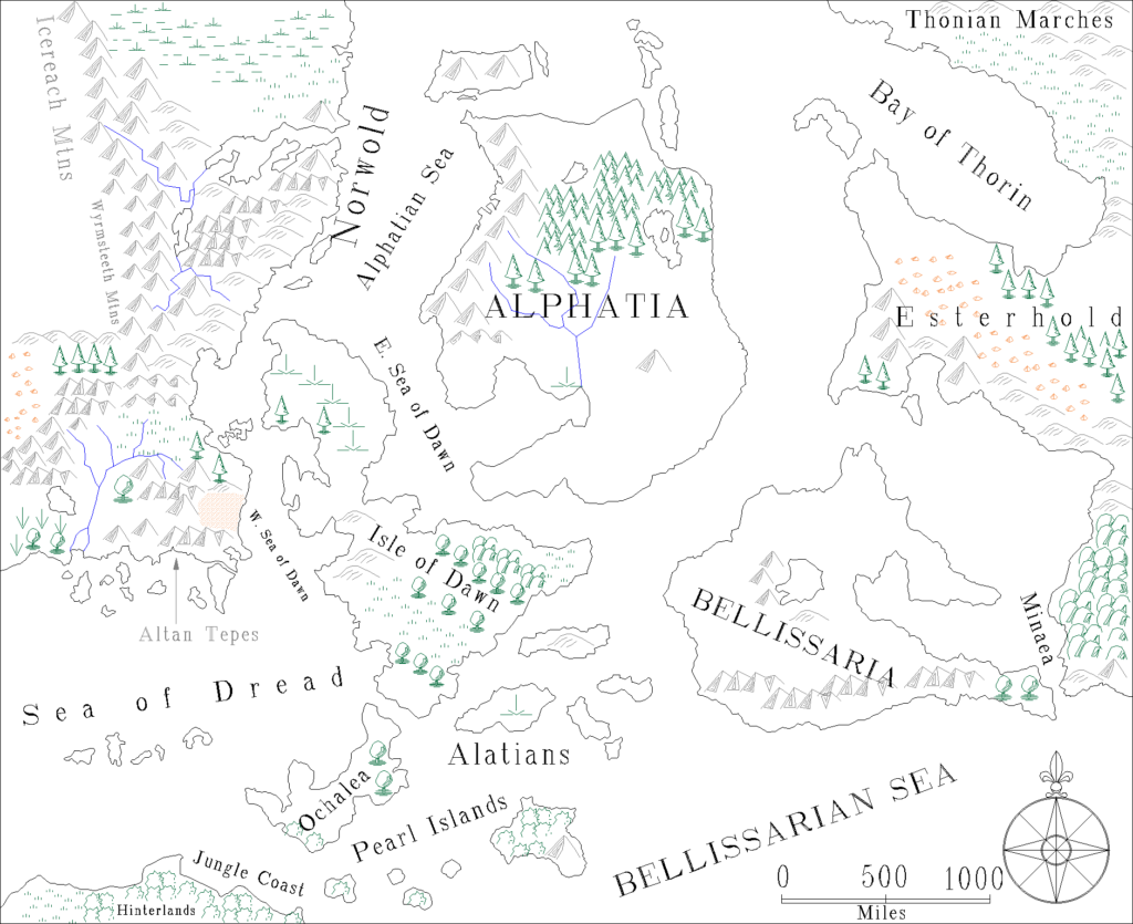
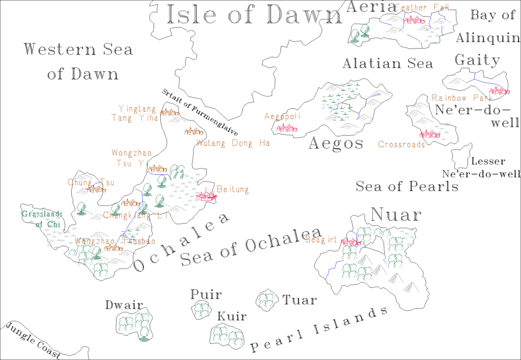
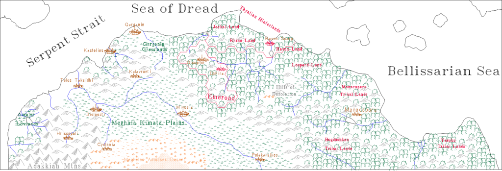
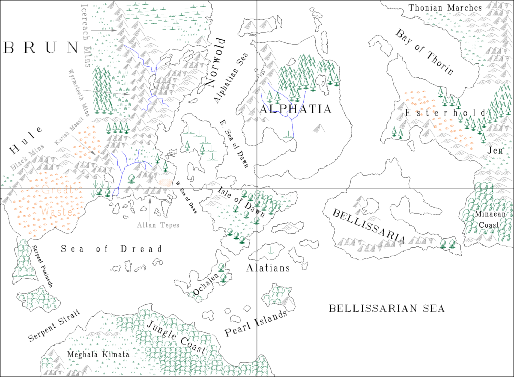
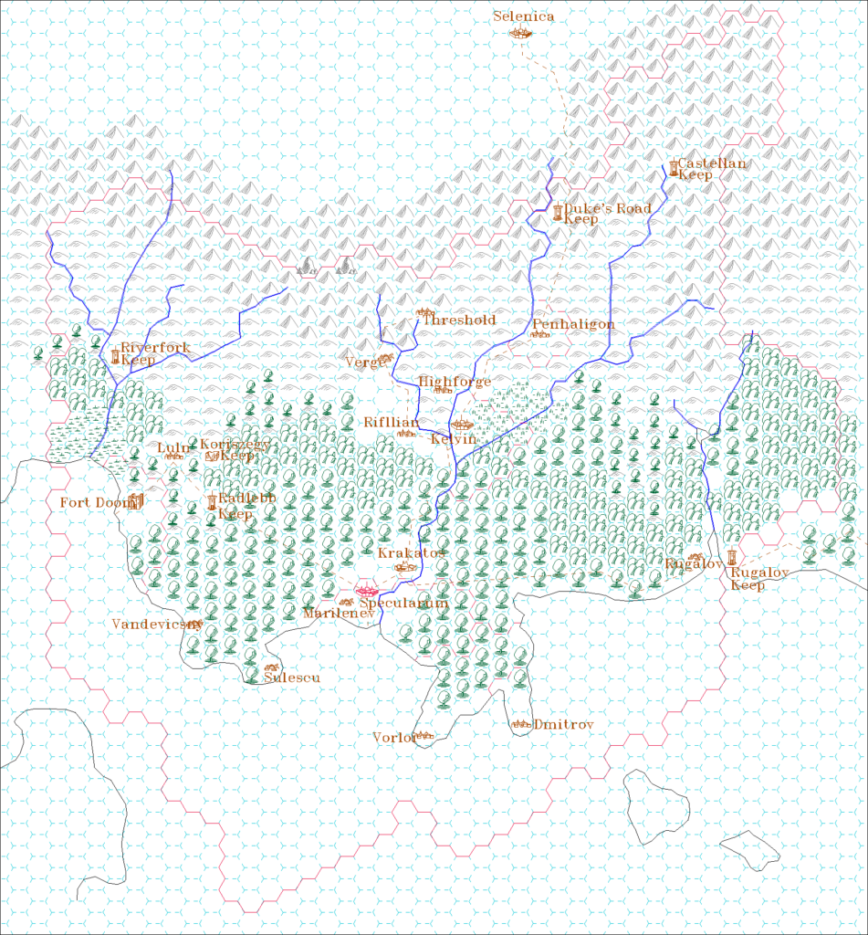
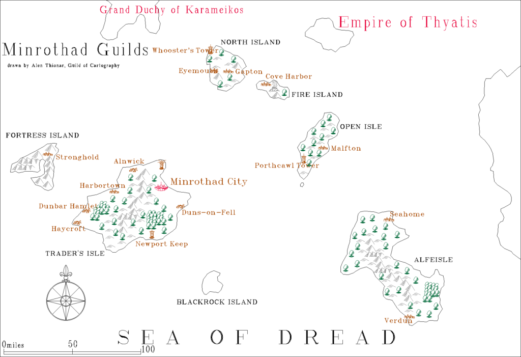
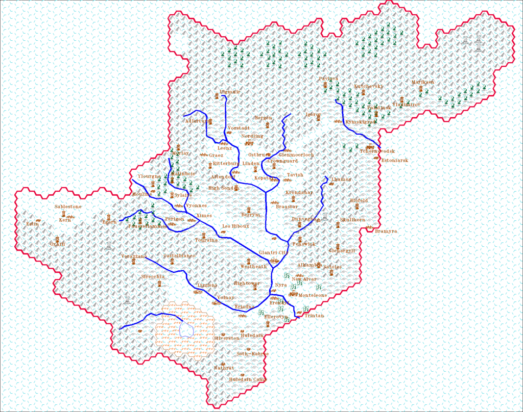
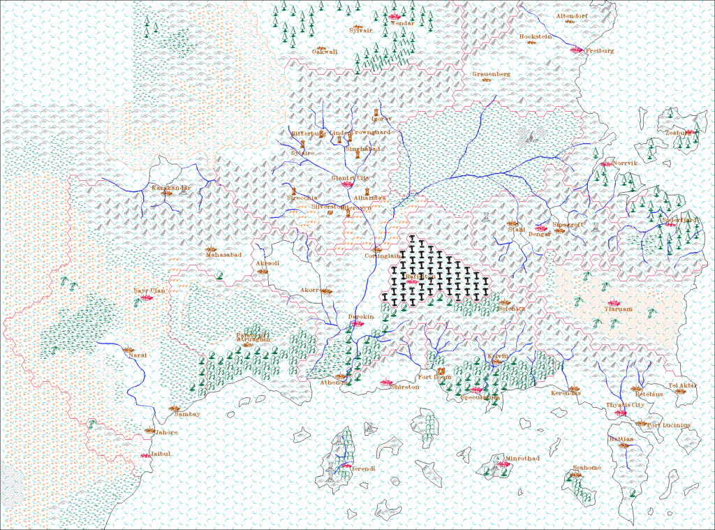
He was active on the MML from 1997 until 2000, and posted a set of Campaign Cartographer for DOS maps on his web site in March 1998. These maps were among the earliest digital maps created for Mystara, contemporary with Thibault Sarlat’s earliest Grid maps. Aleksei went with a rather different style, using coloured line art on a white canvas rather than the familiar blocks of colour of the Gazetteer-style hex maps. He sometimes included a hex grid, but more often he appears to have used it as a stepping stone to creating a grid-less map.
Since he shared these maps in the native CC-DOS format rather than as image files, it’s unclear how visible they were in the community at the time — though I suspect that very few people were able to view them, as of course they require the original software. I was only able to convert them to image files with help from the friendly folks over at the ProFantasy forums, and most notably Remy Monsen, who kindly converted all of the files to the modern CC3+ format for us.
Play By Email Games
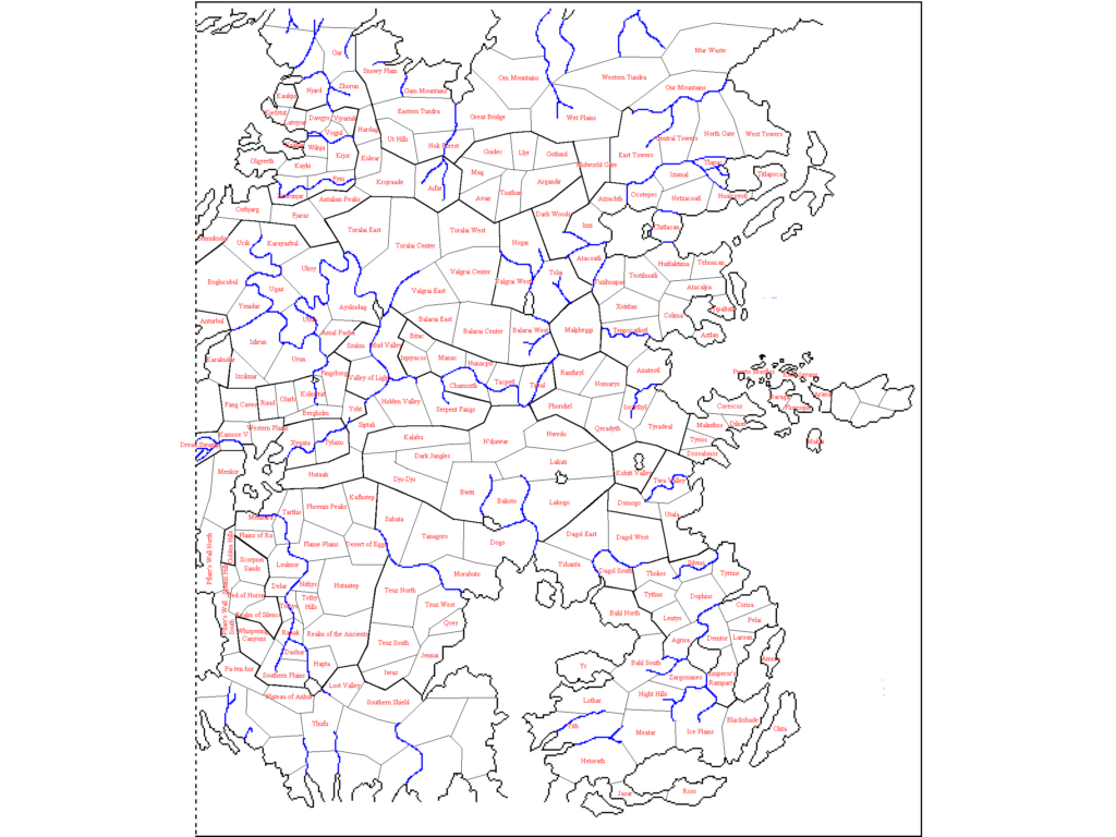
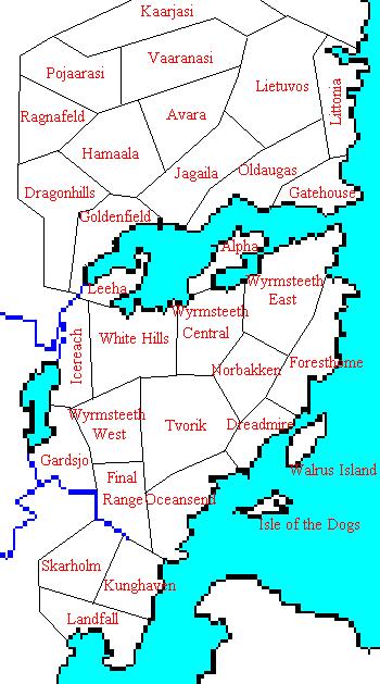
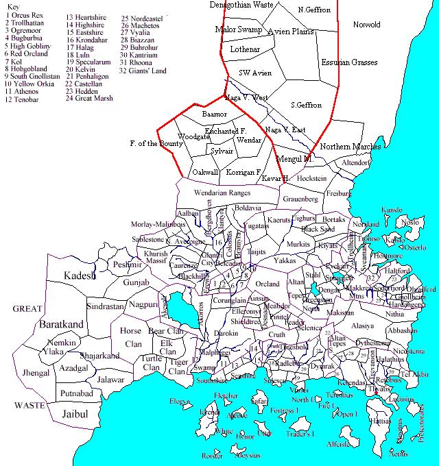
Aleksei was also active in the PBEM scene, running and participating in a number of games based on the Birthright rules from 1998-2000. He created a set of political maps for these games, including maps for the Savage Coast, the Hollow World, Norwold, and the Known World. The Savage Coast maps seem to be the most developed of these, with two different versions remaining to us, showing the state of the “game board” at the beginning of play as well as mid-game.
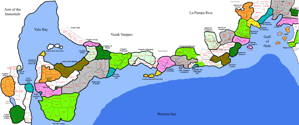
The most striking part of these maps is the breaking up of each nation and region into named subdivisions. To do this, he referenced not only the official maps and texts, but also fan-created resources at the Vaults of Pandius.
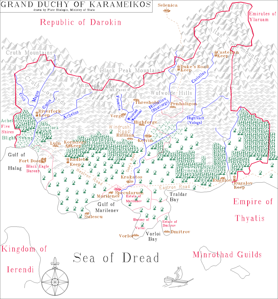
Political maps of Mystara are something that many fans have suggested or requested over the years, but Aleksei is one of the only fan cartographers who has created any. As such, his maps remain a valuable resource for us to this day.
Aleksei’s Maps
| Name | Year | M | D | Date Source | Region | Scale | Notes |
|---|---|---|---|---|---|---|---|
| Players' Map of the Alphatian Region | 1997 | 10 | 19 | File | Alphatian area | Non-hex | PlayerMP.fcd |
| Bellissaria and Esterhold | 1997 | 10 | 19 | File | Bellissaria and Esterhold | Non-hex | East.fcd |
| Ochalea, Pearl Islands, Alatian Islands | 1997 | 10 | 19 | File | Ochalea, Pearl Islands, Alatians | Non-hex | Islands.fcd |
| Hinterlands | 1997 | 10 | 20 | File | Hinterlands | Non-hex | Hinter.fcd |
| Known World Area | 1997 | 10 | 22 | File | Known World area | Non-hex | KnownW.fcd |
| The Known World of Mystara | 1997 | 10 | 22 | File | Known World | Non-hex | SEBrun-P.fcd |
| Karameikos, 8 miles per hex | 1997 | 10 | 31 | File | Karameikos | 8 | Karameik.fcd |
| Karameikos | 1997 | 11 | 1 | File | Karameikos | Non-hex | Pkaramei.fcd |
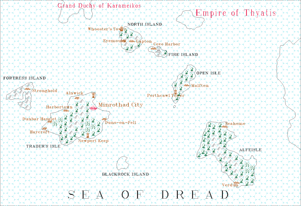
| Minrothad, 8 miles per hex | 1997 | 11 | 26 | File | Minrothad | 8 | Minroth.fcd |
| Minrothad | 1997 | 11 | 26 | File | Minrothad | Non-hex | Pminroth.fcd |
| Glantri 1013 AC, 8 miles per hex | 1998 | 1 | 30 | File | Glantri | 8 | Glantri.fcd |
| Known World 1010 AC, 24 miles per hex | 1998 | 2 | 1 | File | Known World | 24 | SEBrun.fcd |
| Shadow Elves | 1998 | 2 | 19 | File | Shadowlands | Non-hex | |
| City States Political | 1998 | 7 | 23 | File | City States | Non-hex | For PBEM game |
| Herath and Trident Bay Political | 1998 | 7 | 23 | File | Herath, Shazak, Ator, Cay, Wallara | Non-hex | For PBEM game |
| Orc's Head Peninsula Political | 1998 | 7 | 23 | File | Orc's Head Peninsula | Non-hex | For PBEM game |
| Savage Baronies Political | 1998 | 7 | 23 | File | Savage Baronies | Non-hex | For PBEM game |
| Savage Coast Kingdoms Political | 1998 | 7 | 23 | File | Bellayne, Renardy, Eusdria, Robrenn | Non-hex | For PBEM game |
| Arm of the Immortals Political | 1998 | 7 | 28 | File | Arm of the Immortals | Non-hex | For PBEM game |
| Iciria Political | 1998 | 12 | 18 | File | Iciria | Non-hex | For PBEM game |
| Shahjapur Political | 1998 | 12 | 19 | File | Shahjapur | Non-hex | For PBEM game |
| Selhomarr Political | 1998 | 12 | 19 | File | Selhomarr | Non-hex | For PBEM game |
| Savage Coast Political v1 | 2000 | 7 | 18 | File | Savage Coast | Non-hex | For PBEM game |
| Savage Coast Political v2 | 2000 | 7 | 30 | File | Savage Coast | Non-hex | For PBEM game |
| Known World Political | 2000 | 8 | 8 | File | Known World, Norwold | Non-hex | For PBEM game |
| Norwold Political | 2000 | 8 | 8 | File | Norwold | Non-hex | For PBEM game |
Gallery
Sources
In researching this article, I searched out all the references I could find, and consulted with everyone I could track down. I have made every effort to ensure that the information is accurate, but in some cases I may have slipped up — especially when dealing with maps that are years or even decades old. I take full responsibility for any mistakes; please don’t hesitate to point these out if you find them! Following is a summary of my sources for your reference.
- Mystara Mailing List Archive
- Mystara Message Board Archive
- Direct messaging with Greg Weatherup
- Greg Weatherup’s personal map archive
Thank you, Aleksei!
If you are out there somewhere, I hope you’re well. I’d love to hear from you.

