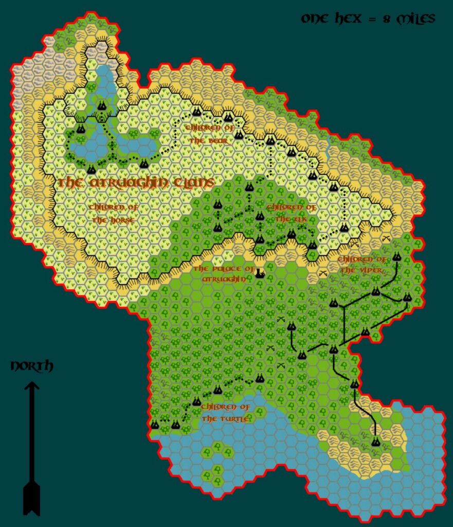
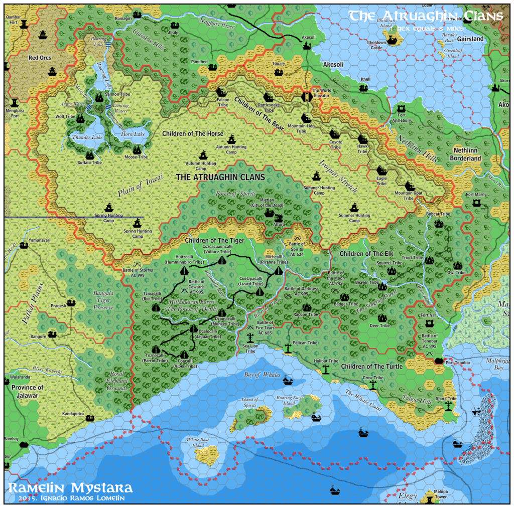
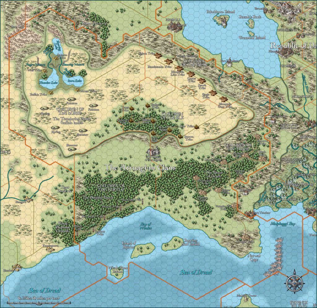
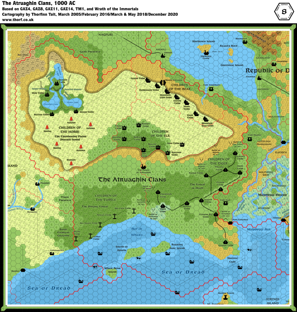
Mystaros’ Atruaghin, 8 miles per hex
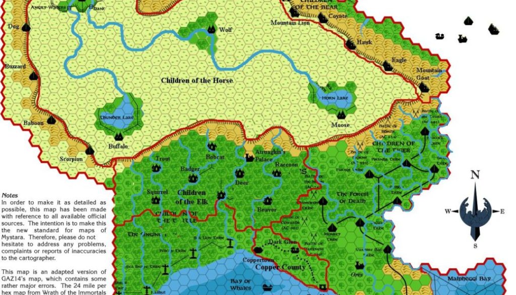
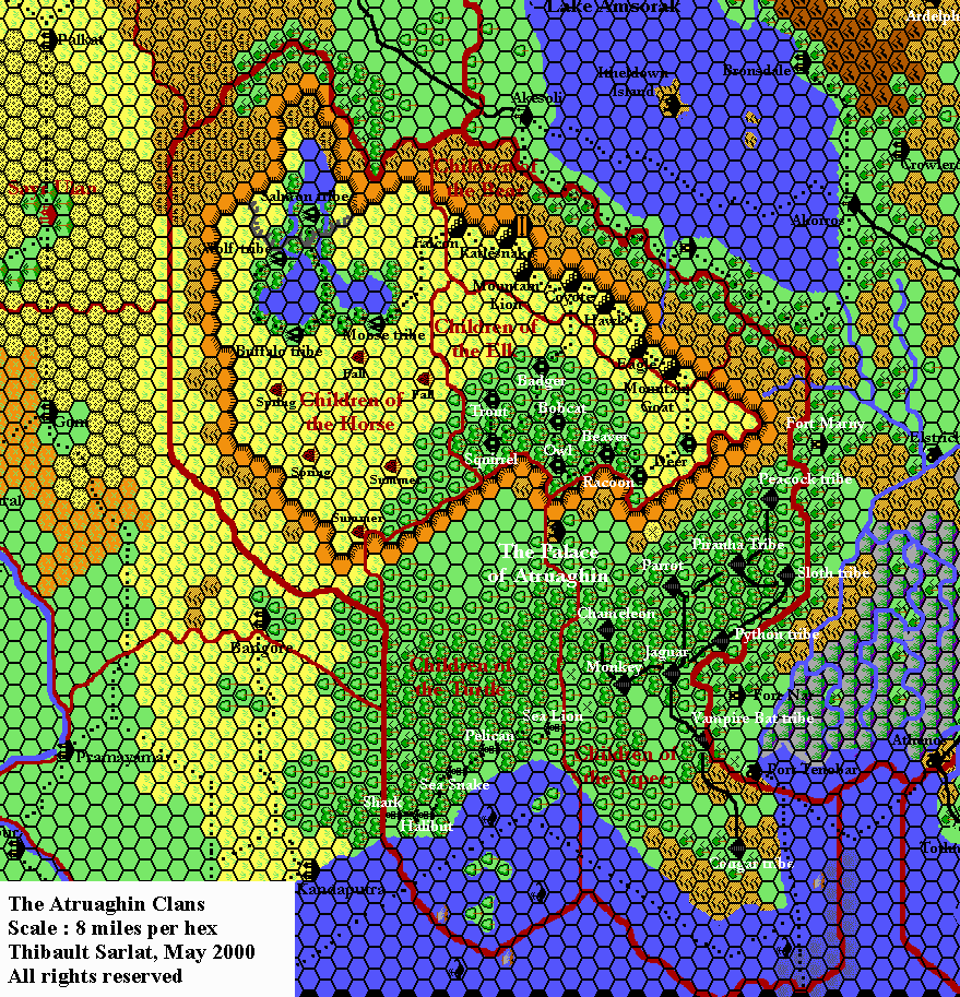
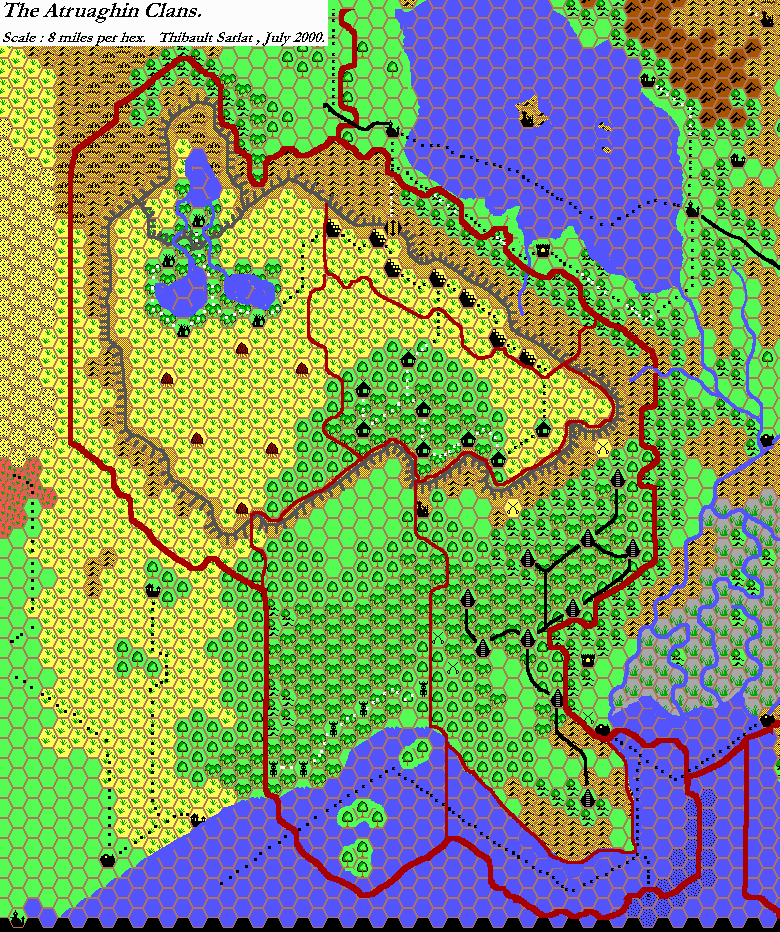
This one is rather special: a draft map of James’s revised Atruaghin Clans, altering an early Atlas map to show the changes he devised for Atruaghin for his Westerlands campaign.
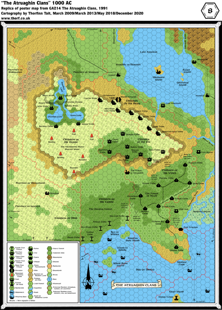
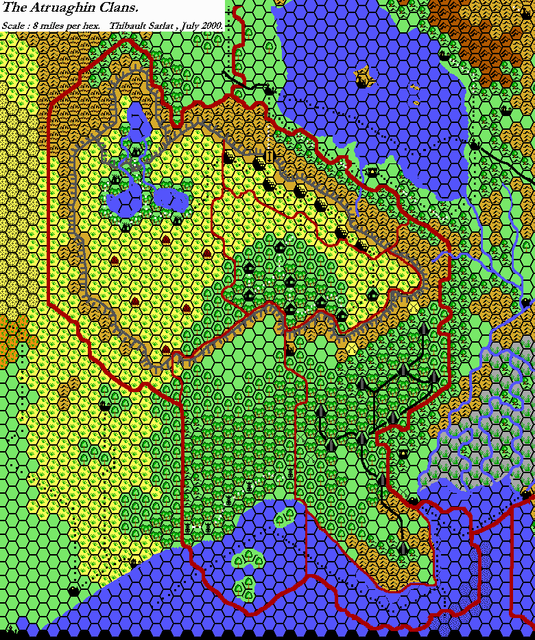
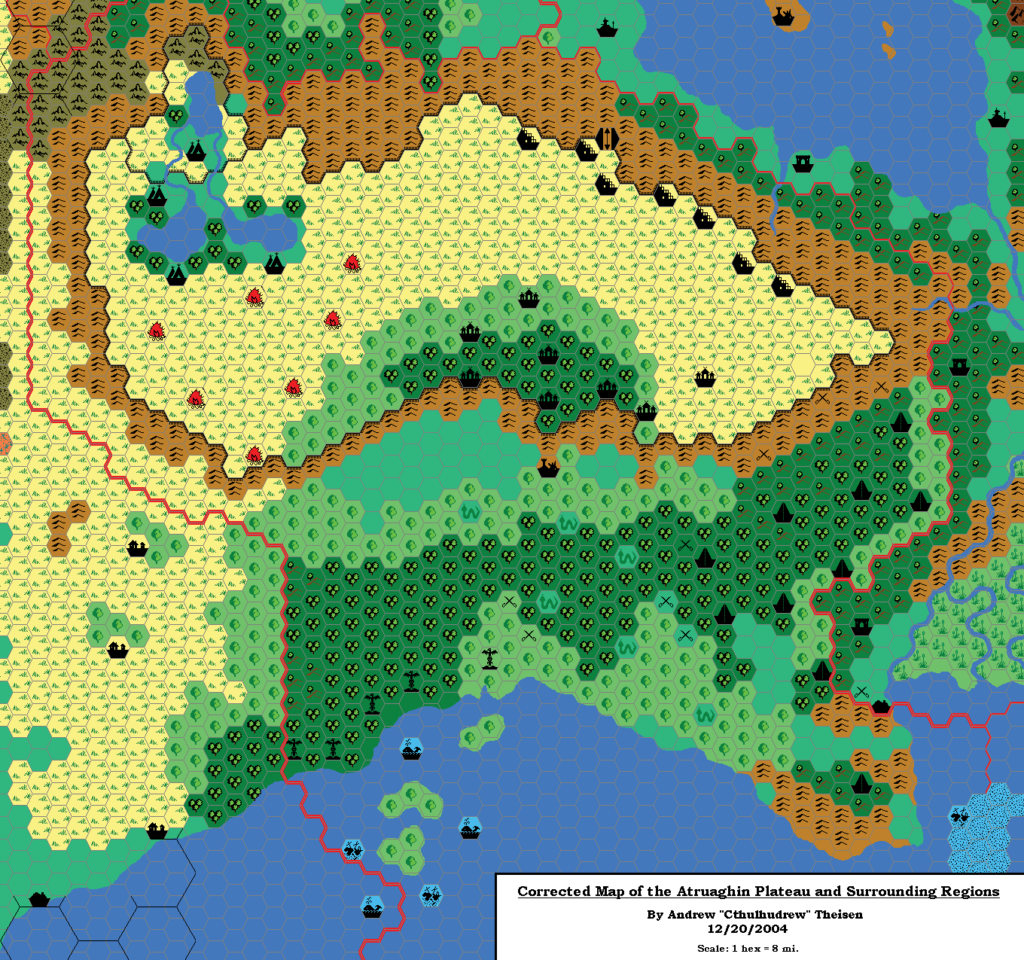
Atruaghin has long been a favourite area for fans to revise, as many felt it got short thrift in GAZ14 The Atruaghin Clans — both in its design as well as its map. The major problem with the map was lack of space, and this was compounded by the plateau being shrunk rather drastically, likely due to cartographic error.
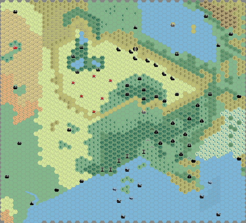
Andrew Theisen was the first to post a map restoring the larger plateau, in late 2004. The Atlas map followed in March 2005, and James took this as a base to work through the design problems. In his own words:
I always thought placing the Children of the Elk on the plateau made no sense when there was so much room left to the south, where they could essentially mingle with the Children of the Turtle (the Turtle being riverine/sea-going, the Elk being entirely forest-based). I also added the Children of the Vulture both to fill out the westernmost portions of the land and to balance out the Children of the Viper (both being remnants of the Children of the Tiger). This gave the Children of the Horse a lot more room, the entire top of the plateau, which is needful for a proper semi-nomadic people.
James Mishler, 18th April 2021
Fan-made Map by James Mishler (March 2005)
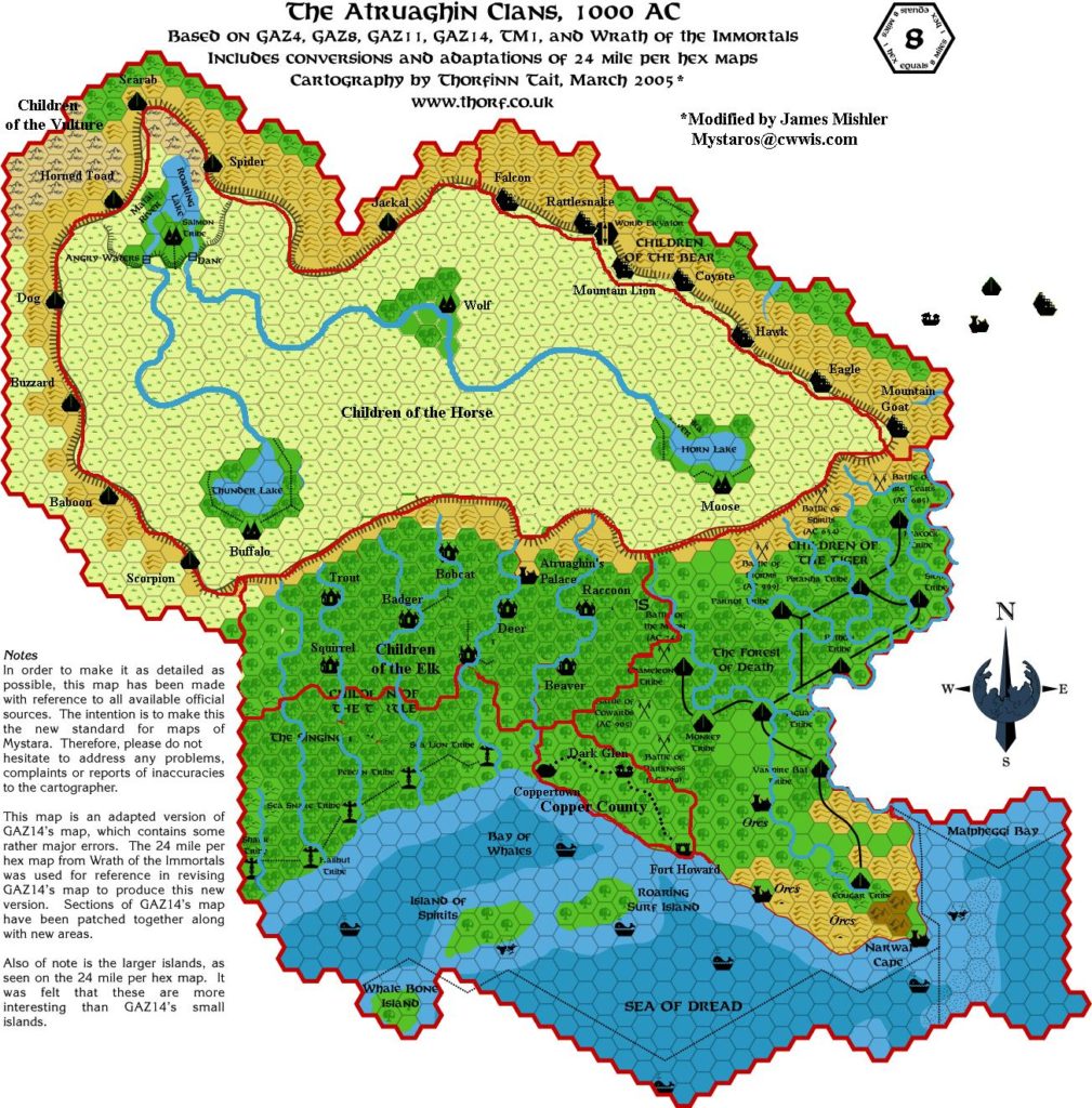
This is an original map created by one of Mystara’s excellent fan cartographers. For more information on the cartographer, including a gallery of all their maps, see also Appendix M: Mappers of Mystara.
Work in progress map: This map is incomplete. It appears here in the most recent state available, but it may be missing certain elements.
Sources
- Atlas of Mystara (2005-present)
Secondary Sources
- Atruaghin Clans and Darokin; changes to the area for the Westerlands Campaign from the MML posted 4 February 2003 (Vaults of Pandius)
References
- All of James’s maps at the Atlas of Mystara
- James’s entry in Appendix M: Mappers of Mystara
- James’s author page at the Vaults of Pandius
Chronological Analysis
This is a fan-made map. It was published in March 2005. The updated Atlas version of this map is Atruaghin, 8 miles per hex. See also Appendix C for annual chronological snapshots of the area. For the full context of this map in Mystara’s publication history, see the upcoming Let’s Map Mystara 2005. (Please note that it may be some time before the project reaches this point.)
The following lists are from the Let’s Map Mystara project. Additions are new features, introduced in this map. Revisions are changes to previously-introduced features. Hex Art & Fonts track design elements. Finally, Textual Additions are potential features found in the related text. In most cases, the Atlas adopts these textual additions into updated and chronological maps.
Coming Soon

