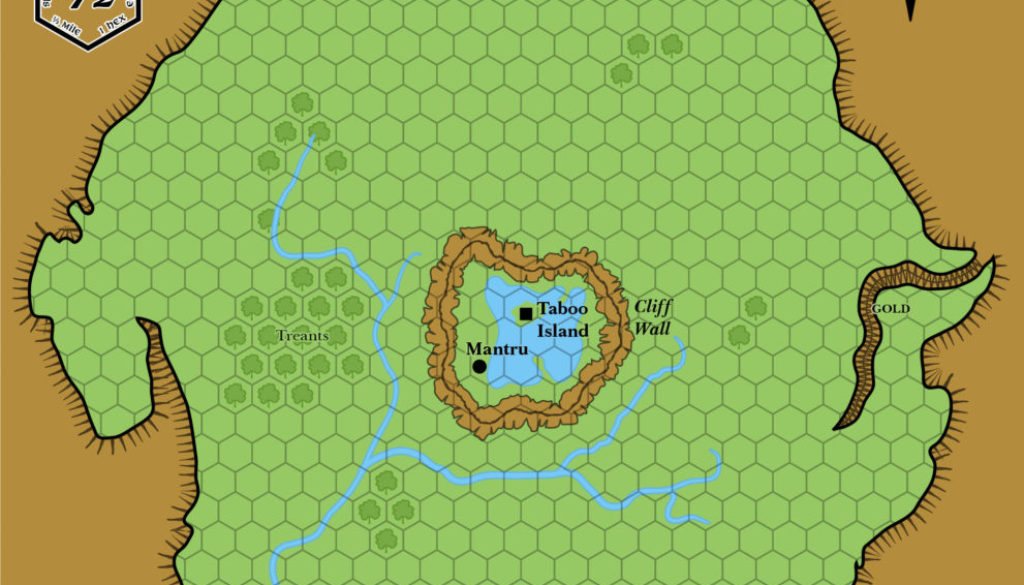
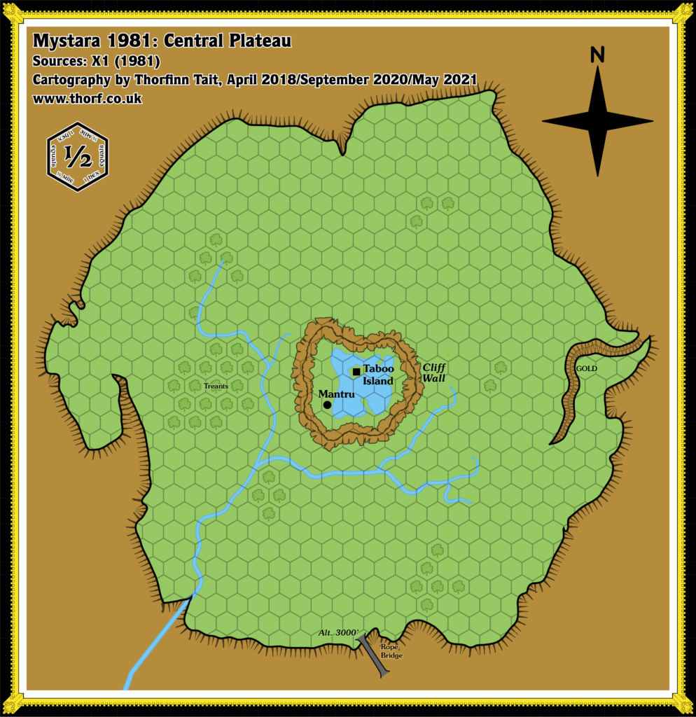
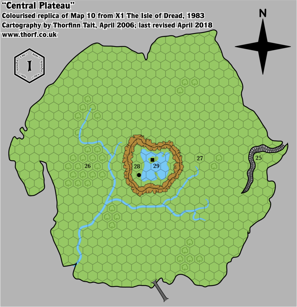
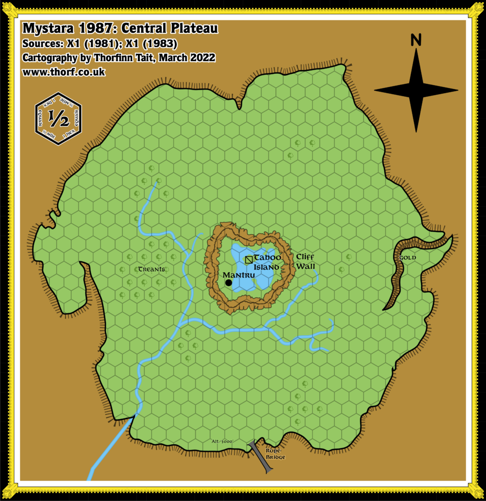
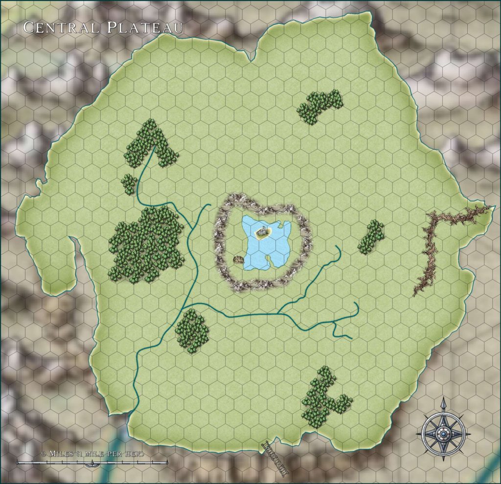
Central Plateau, 0.5 miles per hex (1983)
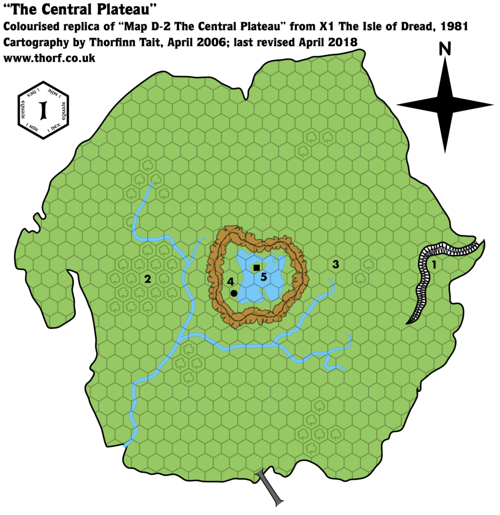
There was little difference between the treatment of the Central Plateau in X1 1981 and its 1983 revision, so the geography remained the same. In fact, the only real change in this map is the font, which has been changed to Baskerville. The scale adjustment from 1 mile per hex down to 0.5 miles per hex applies equally to 1983’s revised map.
Chronological Map (August 2021)
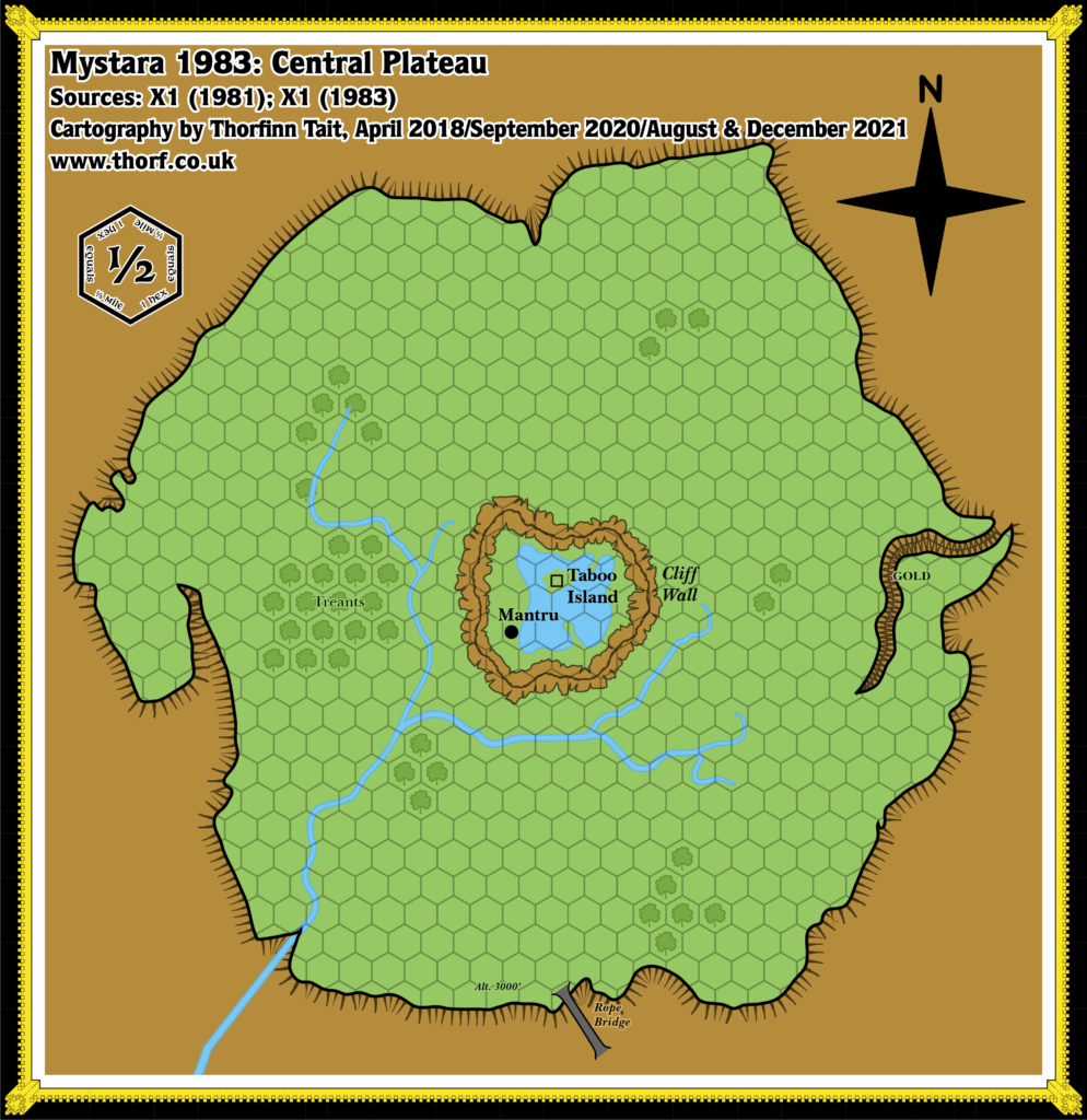
This map is part of the Mystara 1983 series of chronological maps. It is an updated map, incorporating all available sources and made internally consistent with other maps in its series. But it only uses sources published in or before 1983.
For more information, see Appendix C: Cartographic Chronology.
Sources
- Mystara 1981
- X1 The Isle of Dread (1983)
Revisions
For detailed notes, see the posts for each individual source map at the links above.
- Font — Baskerville to match the style of the new BECMI line.
References
- Let’s Map Mystara 1983 — the original project thread for this map
- The Sea of Dread and the Thanegioth Archipelago at the Vaults of Pandius

