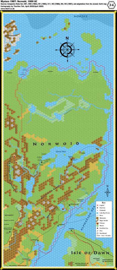
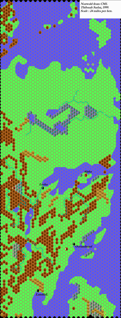
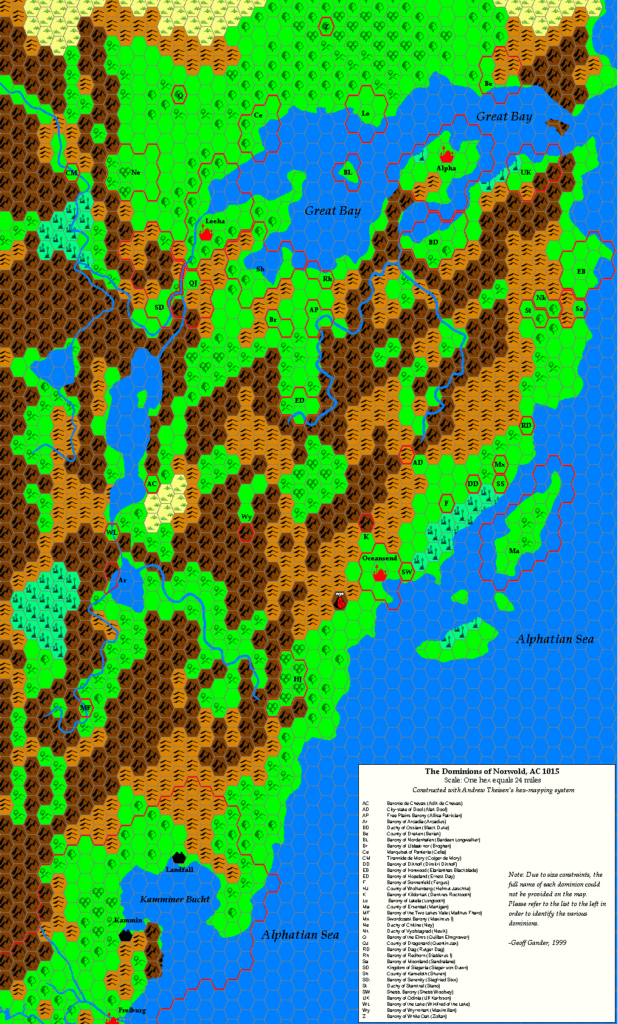
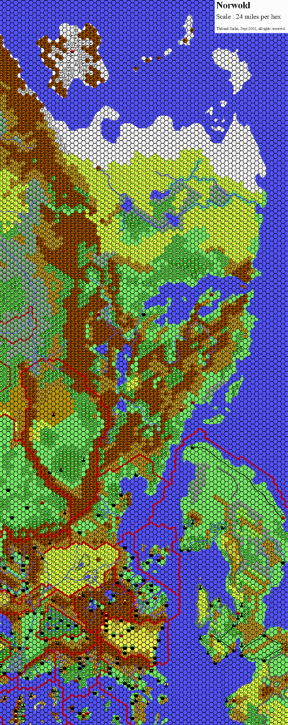
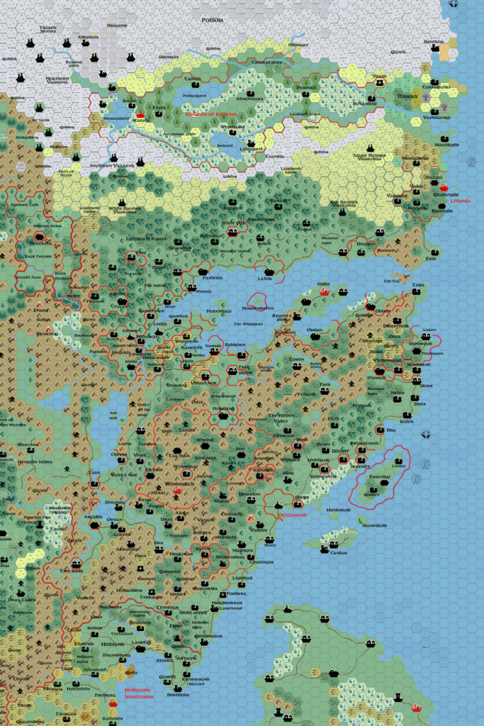
Norwold, 24 miles per hex (1984)
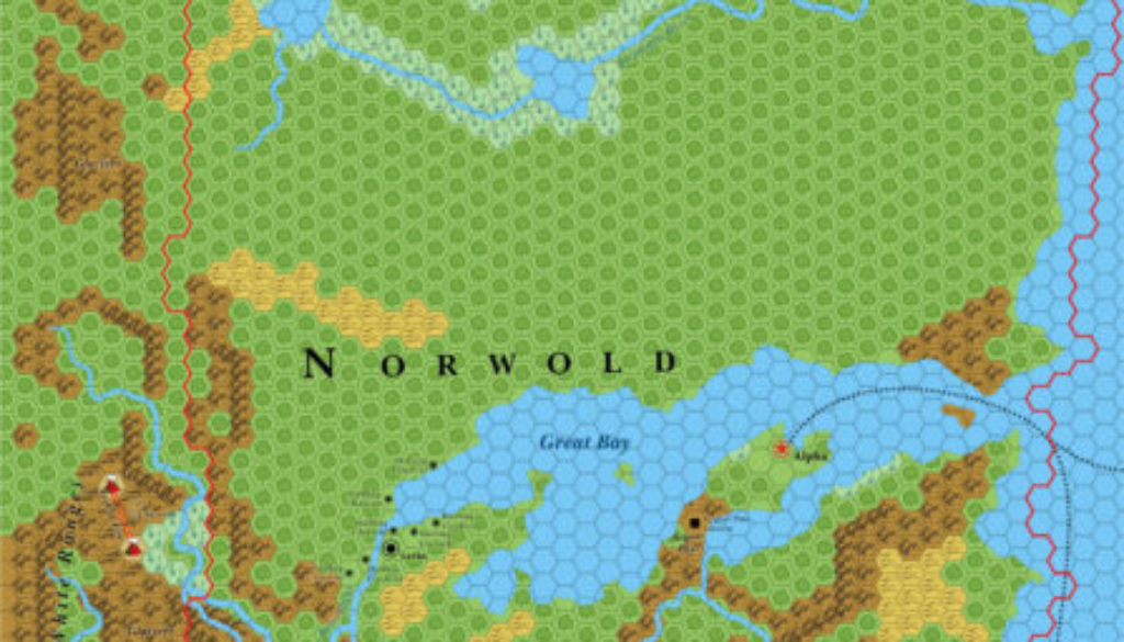
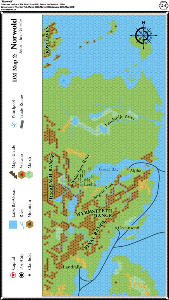
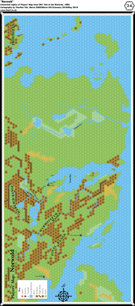
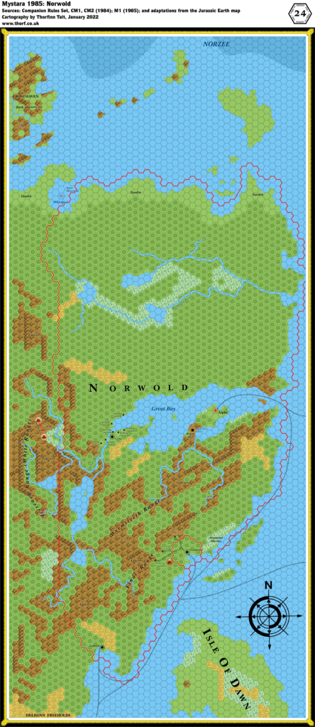
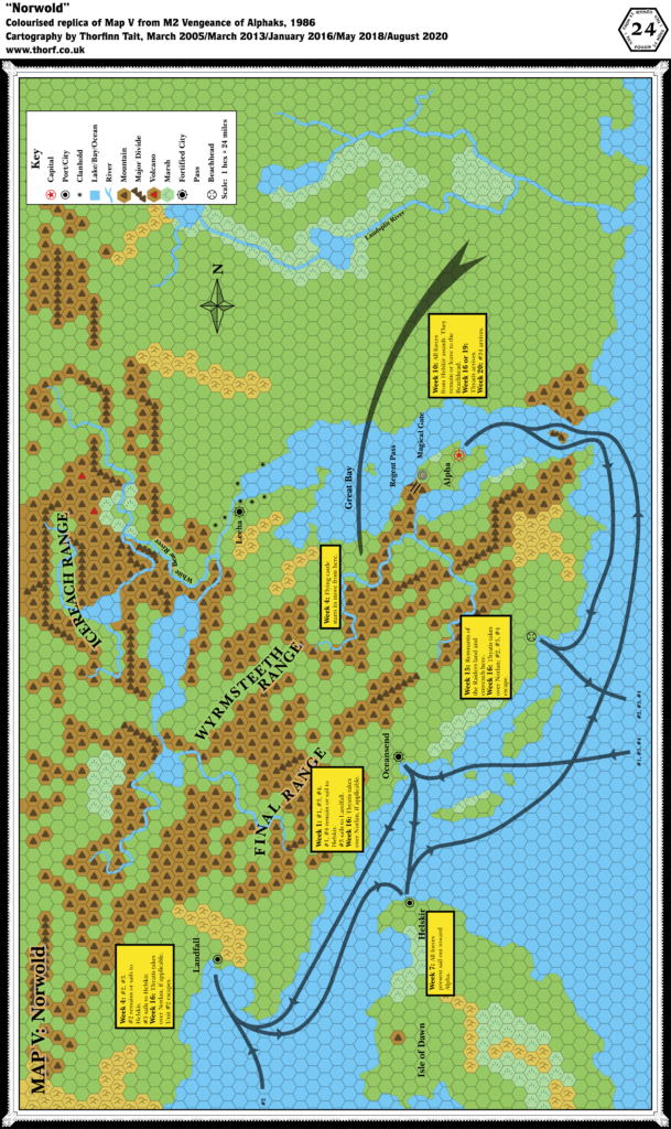
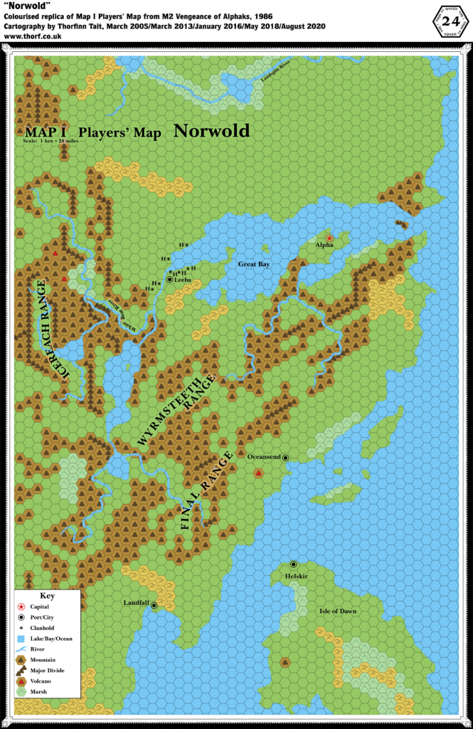
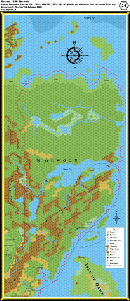
Norwold’s original map in 1984’s CM1 was quite a frugal affair, but thankfully the module’s text provided quite a few new features to add to the map. In fact, it mentioned things like glaciers and tundra that did not even have hex symbols yet at this time; I have marked these with text labels for now. The most major change from the published maps is the vast forests of Norwold, which are said to be its default terrain. With all these forests, the land certainly seems a lot wilder, and more like an expansive wilderness waiting to be explored.
Norwold’s map was drawn with a different rotation compared to the other hex maps of the time, most likely in order to maximise the terrain that could be fitted on the three page map. While the updated Brun, 24 miles per hex (1984) map adapts the region to the contiguous hex grid of the other Brun maps, this one presents the map with its original rotation. If there is a conflict, this map should be considered the more authoritative of the two. Similarly future larger scale maps should be developed with this map as the base, regardless of which grid they conform to.
Chronological Map (January 2022)
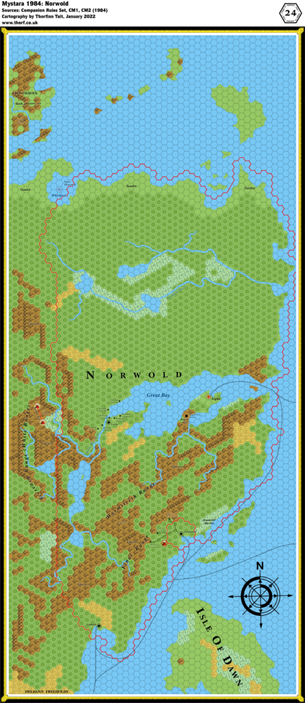
This map is part of the Mystara 1984 series of chronological maps. It is an updated map, incorporating all available sources and made internally consistent with other maps in its series. But it only uses sources published in or before 1984.
For more information, see Appendix C: Cartographic Chronology.
Sources
- Mystara 1983
- Companion Rules Set (1984) (PDF at DriveThruRPG)
- CM1 Test of the Warlords (1984) (PDF at DriveThruRPG)
- CM2 Death’s Ride (1984) (PDF at DriveThruRPG)
Revisions
For detailed notes, see the posts for each individual source map at the links above.
References
- Let’s Map Mystara 1984 — the original project thread for this map
- Let’s Map Mystara Together discussion thread at The Piazza (link leads to this map’s post)
- Norwold at the Vaults of Pandius

