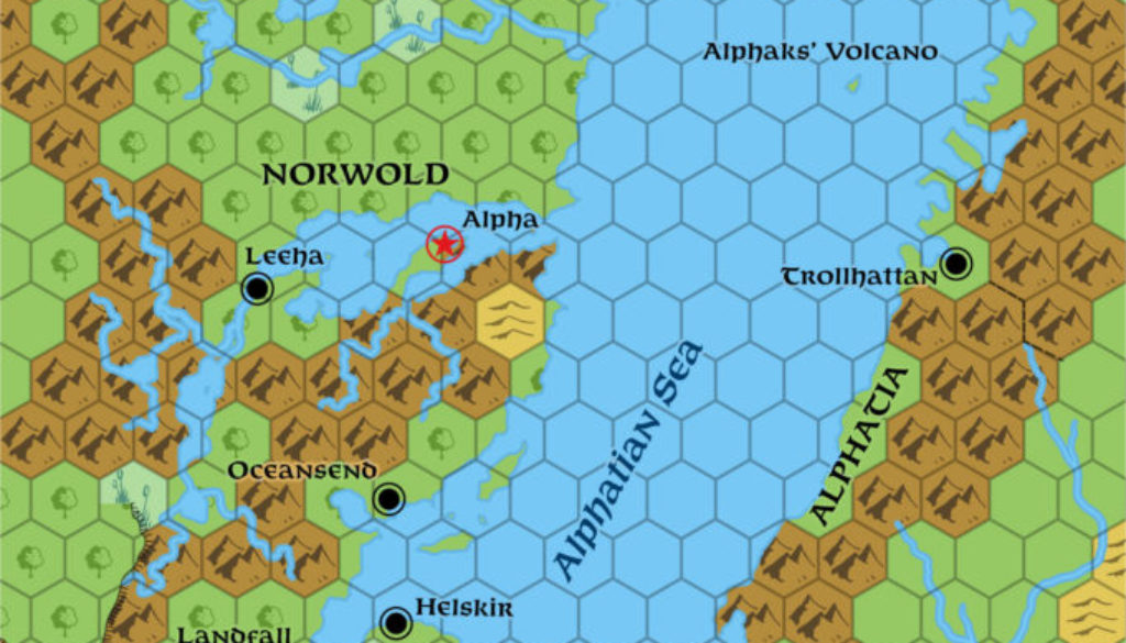
Norwold & Alphatia, 138 miles per hex (1987)
1987’s changes to the Isle of Dawn affected this map, too. I have adapted the whole isle to match its presentation in M5, including coastlines, terrain, and settlements. Other changes include the additional lake in Norwold from M4, use of the new snow fields/glaciers symbols from GAZ1’s legend, and of course the usual hex art and font updates.
Chronological Map (April 2022)
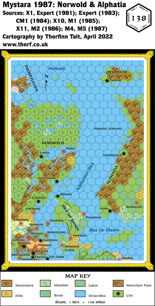
This map is part of the Mystara 1987 series of chronological maps. It is an updated map, incorporating all available sources and made internally consistent with other maps in its series. But it only uses sources published in or before 1987.
For more information, see Appendix C: Cartographic Chronology.
Sources
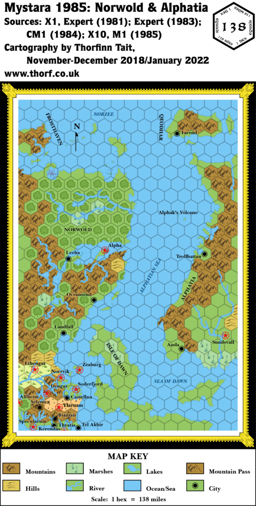
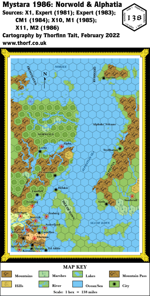
- Mystara 1986
- GAZ1 The Grand Duchy of Karameikos (1987) (PDF at DriveThruRPG)
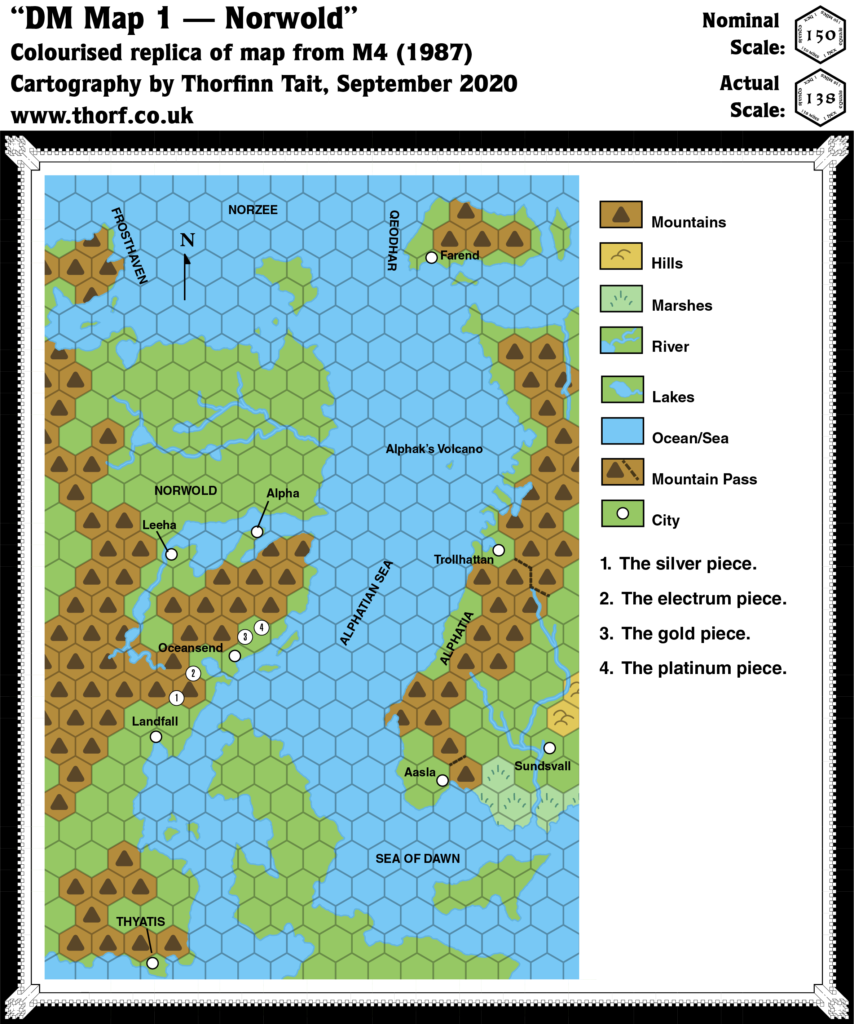
- M4 Five Coins for a Kingdom (1987) (PDF at DriveThruRPG)
- M5 Talons of Night (1987) (PDF at DriveThruRPG)
Revisions
For detailed notes, see the posts for each individual source map at the links above.
- Coasts — The Isle of Dawn coast has been changed to that given in M5. For now, Alphatia has been left as is; there is still no consensus on the shape of the continent at this point.
- Hex Art & Fonts — Updated to 1987 standards.
- Lakes — The lake from M4 has been added.
- Terrain — The Isle of Dawn’s terrain has been tweaked to match larger scale maps, although at this scale it’s so generalised as to be meaningless.
References
- Let’s Map Mystara 1987 — the original project thread for this map
- Let’s Map Mystara Together discussion thread at The Piazza (link leads to this map’s post)
- Norwold at the Vaults of Pandius
- Alphatia at the Vaults of Pandius
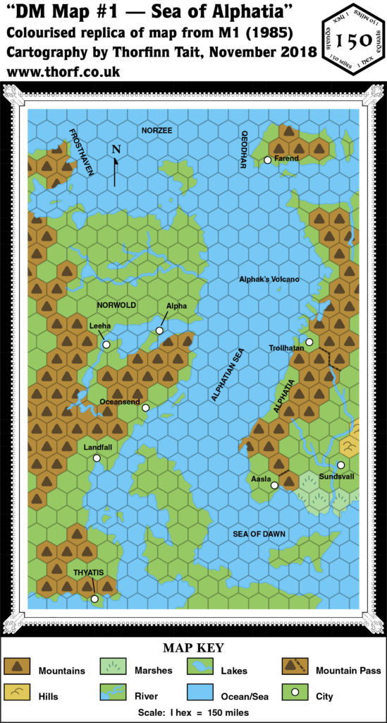
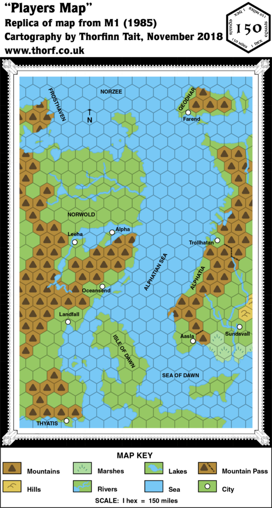
Past and Future Versions of this Map

