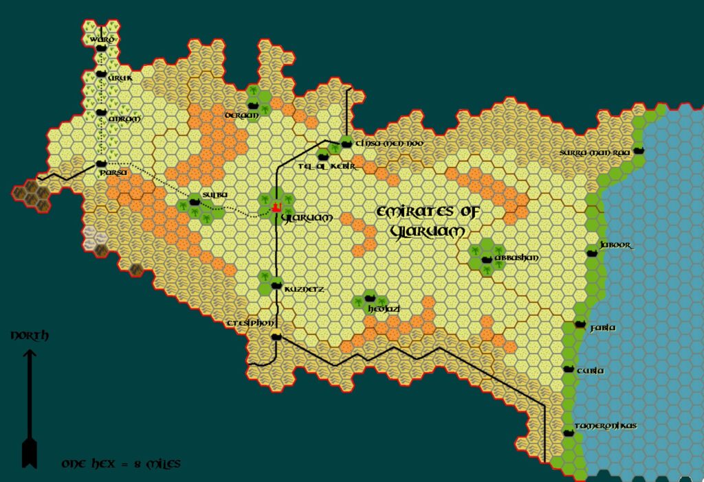
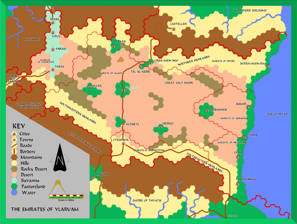
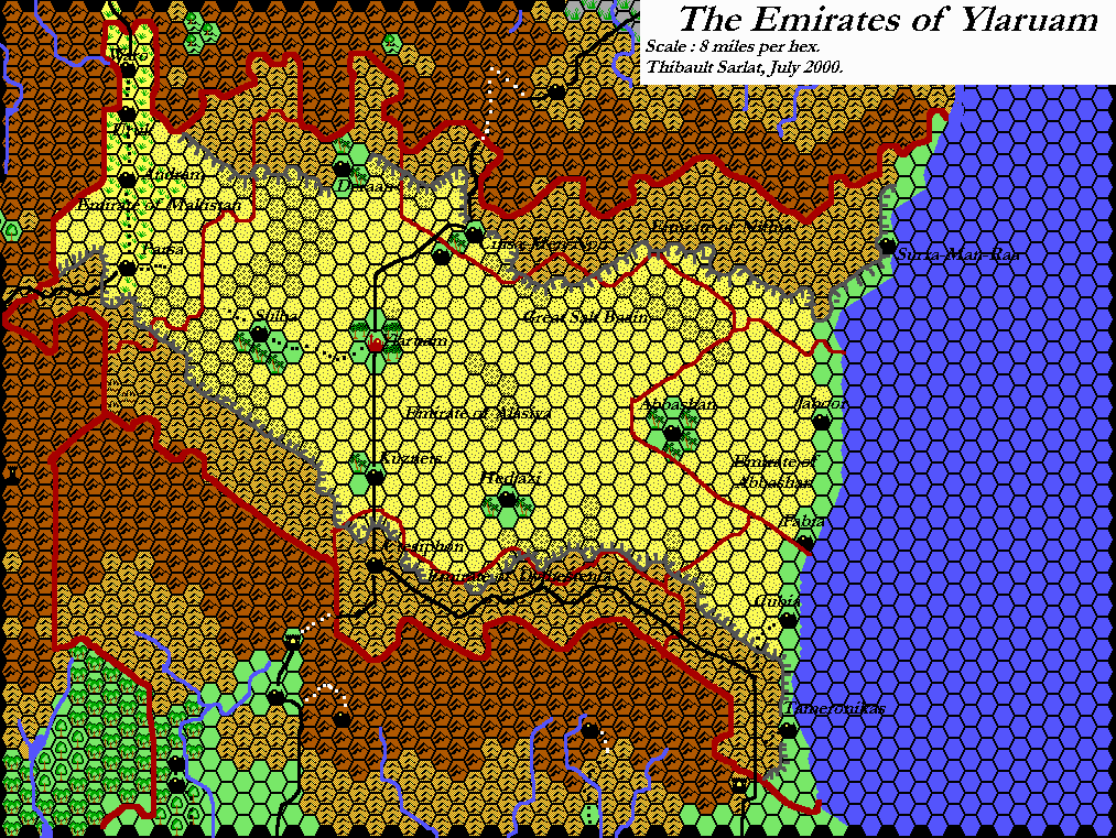
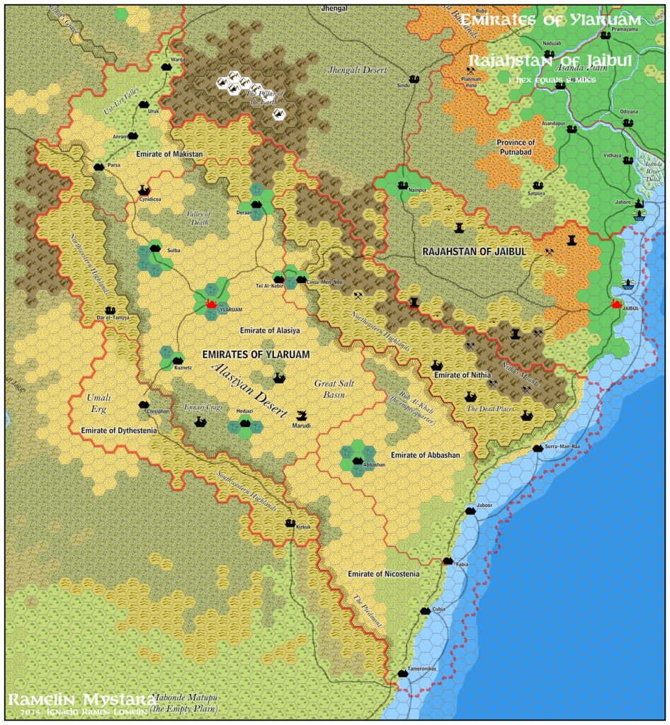
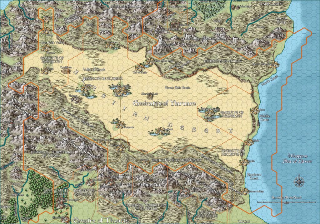
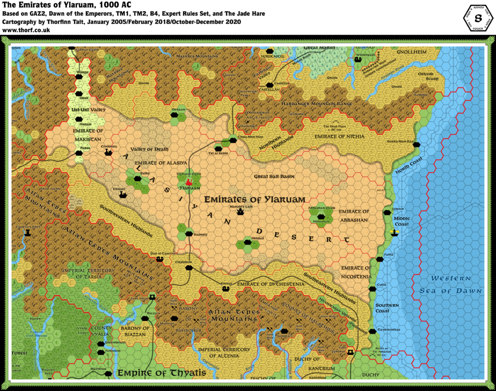
Adamantyr’s Ylaruam, 8 miles per hex
This is Adamantyr’s last Mystara map. It went unreleased for many years, and this post may well be its first proper release. It provides one last glimpse of the Known World in Adamantyr’s distinctive style — a tantalising hint of what a full trail map would look like, with parts of all the neighbouring countries properly detailed.
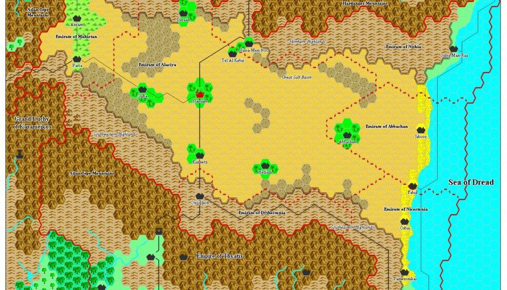
The main significance of the map is its interpretation of the coastline, with the Alasiyan Desert giving way to sandy beach all along Ylaruam’s coast. This detail may derive from GAZ2’s text, or it may be Adamantyr’s invention. Many years later, the Atlas take on this nation depicted the same area as an escarpment.
Fan-made Map by Adamantyr (December 2003)
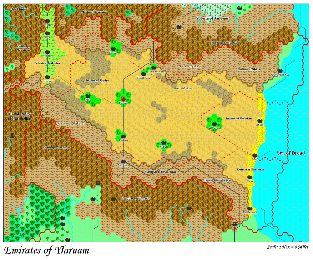
This is an original map created by one of Mystara’s excellent fan cartographers. For more information on the cartographer, including a gallery of all their maps, see also Appendix M: Mappers of Mystara.
Sources
- GAZ2 The Emirates of Ylaruam (1987) (PDF at DriveThruRPG)
- GAZ1 The Grand Duchy of Karameikos (1987) (PDF at DriveThruRPG)
- GAZ6 The Dwarves of Rockhome (1988) (PDF at DriveThruRPG)
- GAZ7 The Northern Reaches (1988) (PDF at DriveThruRPG)
- Dawn of the Emperors (1989) (PDF at DriveThruRPG)
References
- All of Adamantyr’s maps at the Atlas of Mystara
- Adamantyr’s entry in Appendix M: Mappers of Mystara
- Adamantyr’s author page at the Vaults of Pandius
Chronological Analysis
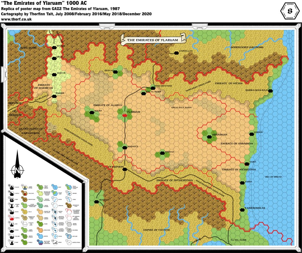
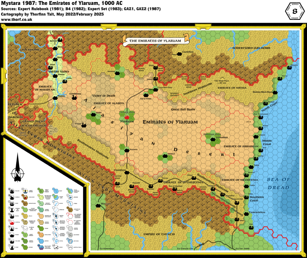
This is a fan-made map. It was published in December 2003. For the updated Atlas version of this map, see Ylaruam, 8 miles per hex . See also Appendix C for annual chronological snapshots of the area. For the full context of this map in Mystara’s publication history, see the upcoming Let’s Map Mystara 2003. (Please note that it may be some time before the project reaches this point.)
The following lists are from the Let’s Map Mystara project. Additions are new features, introduced in this map. Revisions are changes to previously-introduced features. Hex Art & Fonts track design elements. Finally, Textual Additions are potential features found in the related text. In most cases, the Atlas adopts these textual additions into updated and chronological maps.
Coming Soon

