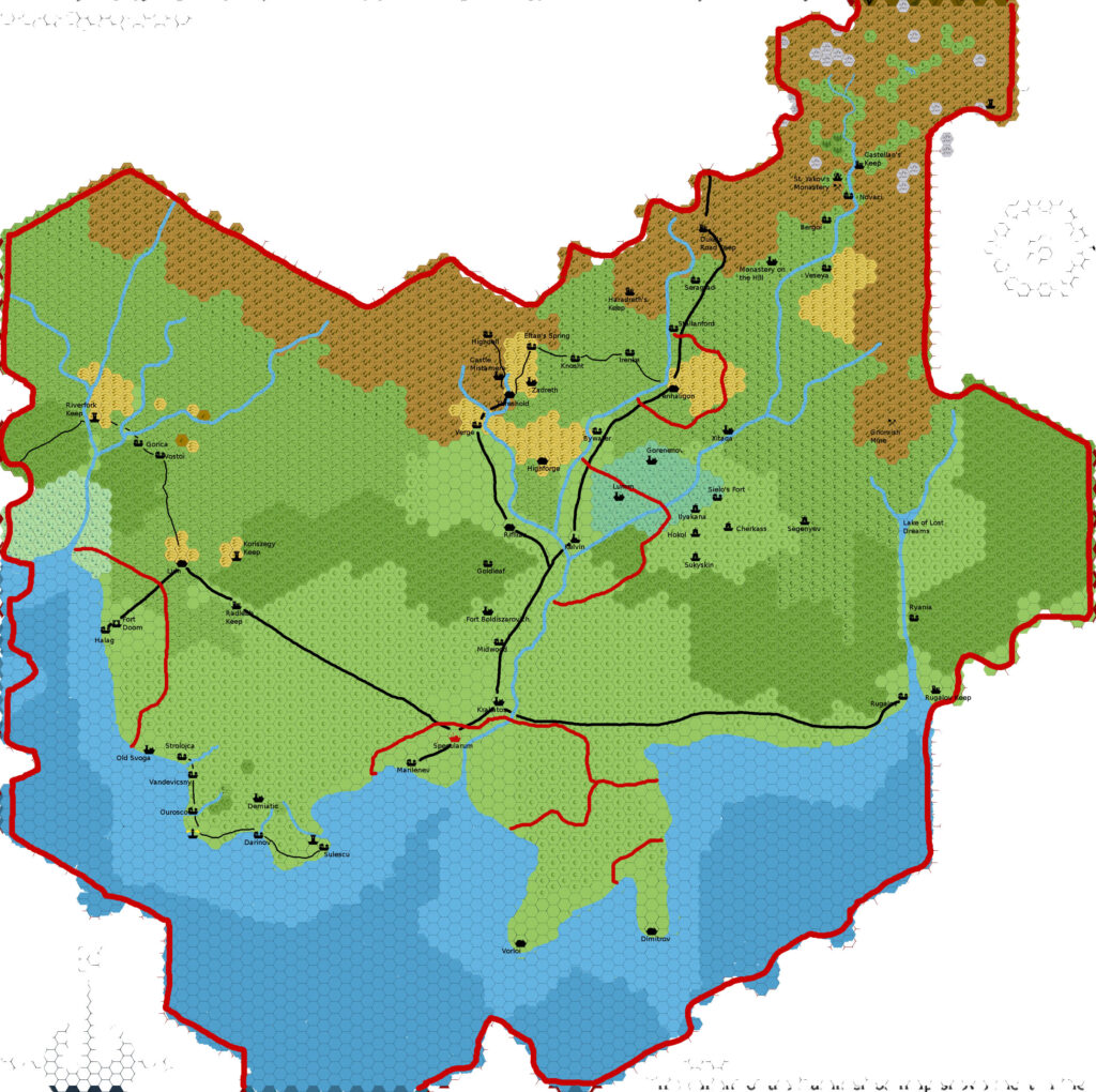
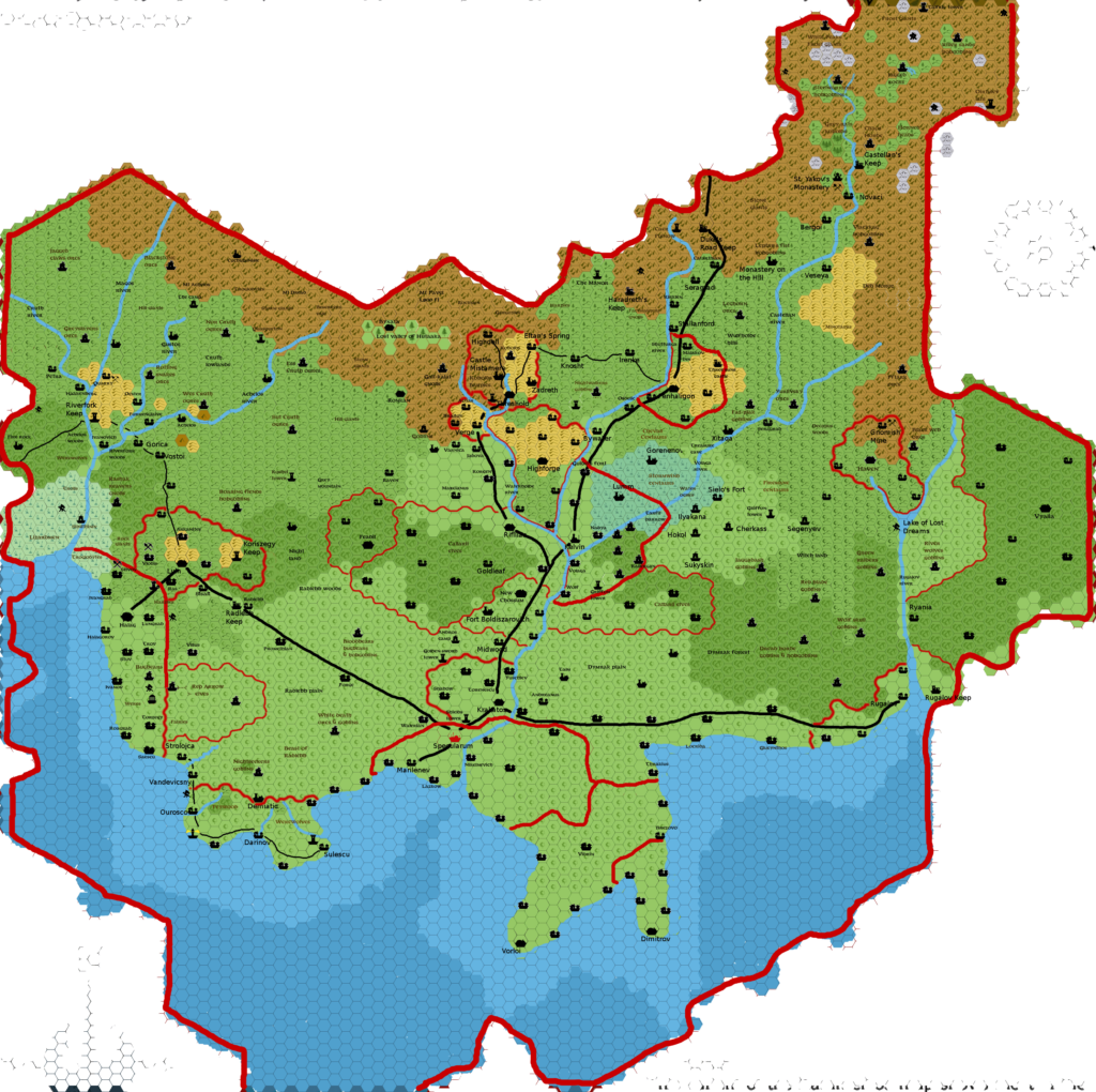
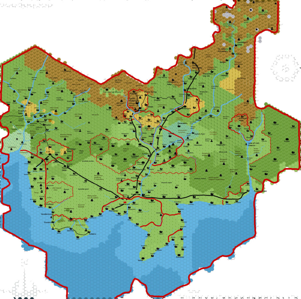
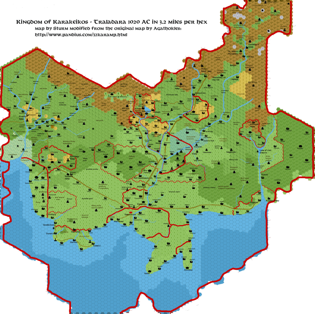
Agathokles’ Karameikos Political, 3.2 miles per hex
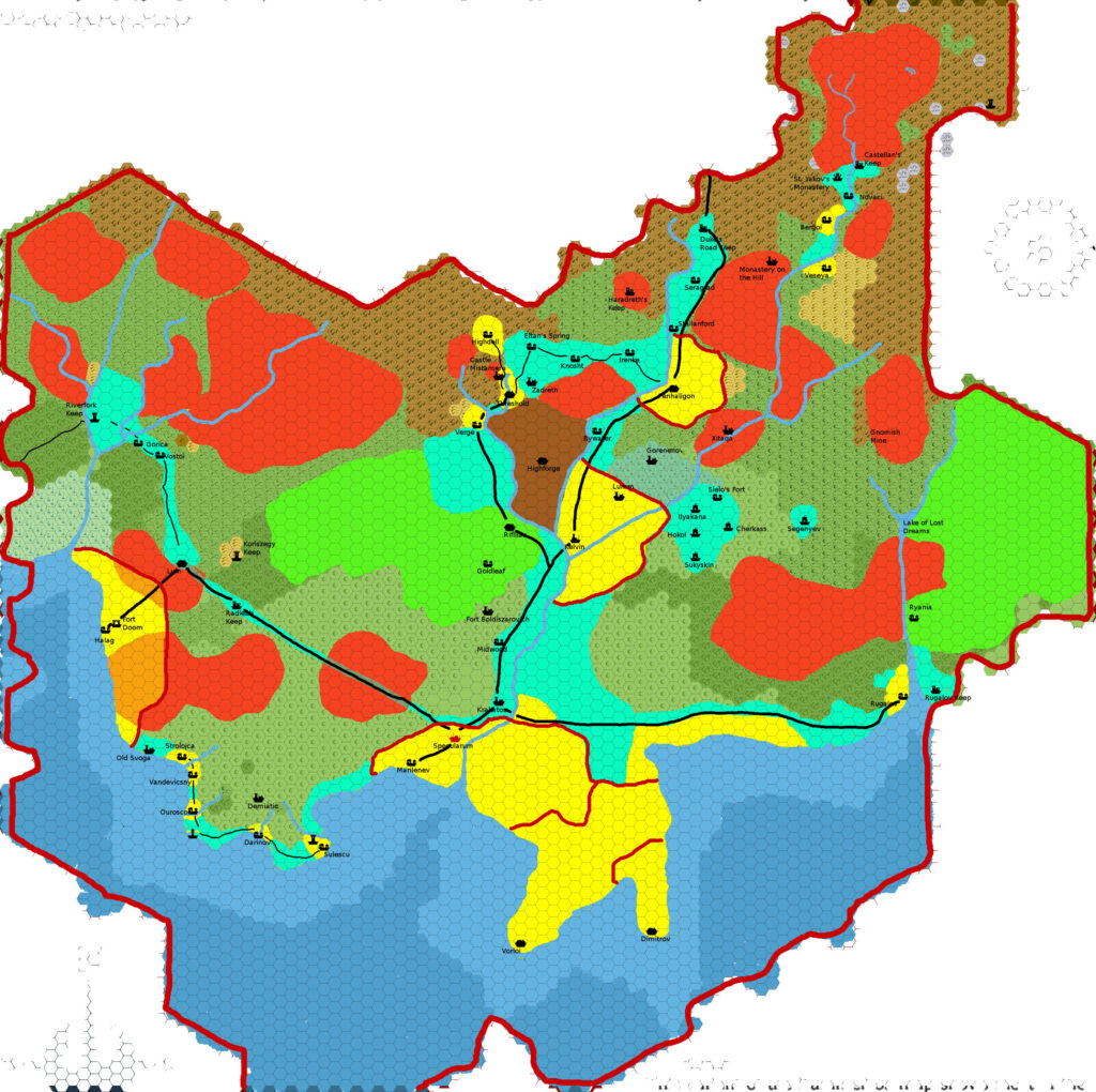
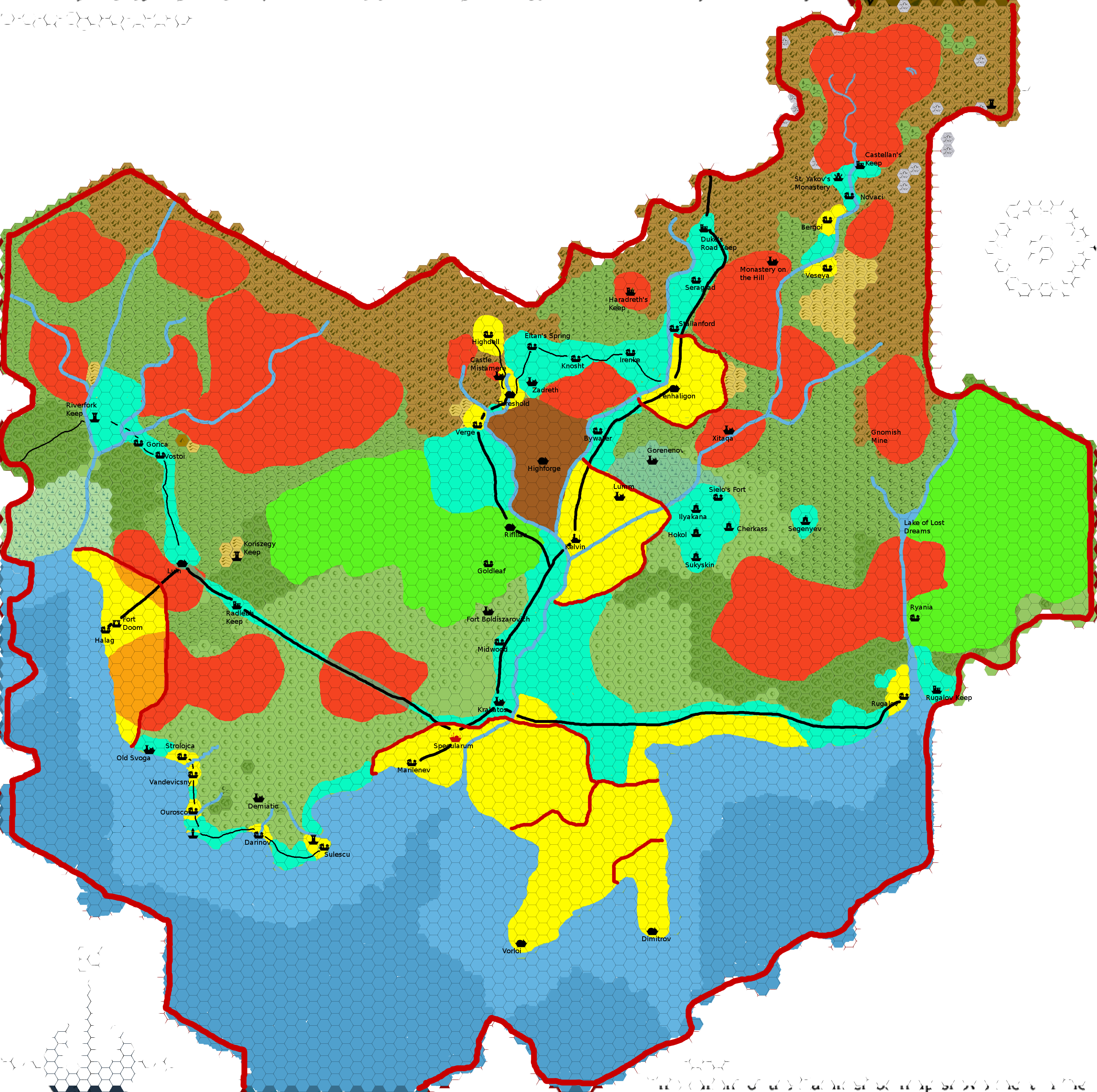
A week after he shared his Karameikos, 3.2 miles per hex map, Giampaolo posted a second version, marking “the areas of control of humans and non-humans”. He explained the colours on the map as follows:
- Color code:
- Yellow: lands controlled by the various lesser nobles (including Stefan or Adriana Karameikos as Lord/Lady of Specularum).
- Cyan: lands mainly inhabited by humans, but not part of fiefs.
- Green: elven lands (there may be Callarii elves south of Kelvin, but I’ve left this as a “contended” area).
- Brown: gnomish Kingdom of Highforge.
- Red: various goblinoid tribes.
- Superimposed colors:
- Red and Yellow: the Black Eagle uses Goblinoid mercenaries to retain control of the human population of these areas.
- Red and Cyan: the troops of Radlebb Keep contend control of the Westron Road to the Bugbear tribes.
- Non-colored: areas controlled by other non-humans (e.g., Centaurs and Chevalls in the Moor and surrounding hills, Count Koriszegy in the area around Koriszegy Keep, dragons, the Beast of Radlebb), or contended/unpopulated lands. In many cases, these are buffer zones between enemy groups (e.g., Ogres and Callarii Elves north-west of Radlebb), in others, just lands that are not yet settled.
Geographic maps have always vastly outnumbered political maps of Mystara. They are often requested, but as a community we’ve not produced all that many. Of these, the Italian Mystara community has produced the vast majority, of which this is a good example.
Fan-made Map by Giampaolo Agosta (October 2009)
This is an original map created by one of Mystara’s excellent fan cartographers. For more information on the cartographer, including a gallery of all their maps, see also Appendix M: Mappers of Mystara.
Sources
- GAZ1 The Grand Duchy of Karameikos (1987) (PDF at DriveThruRPG)
- B10 Night’s Dark Terror (1986) (PDF at DriveThruRPG)
- B11 King’s Festival (1989) (PDF at DriveThruRPG)
- B12 Queen’s Harvest (1989) (PDF at DriveThruRPG)
- Karameikos: Kingdom of Adventure (1994) (PDF at DriveThruRPG)
Fan Sources
- River of Blood by Giampaolo Agosta (September 2008) (Vaults of Pandius)
- Cry Wolf! by Giampaolo Agosta (February 2009) (Vaults of Pandius)
- Agathokles’ Karameikos, 3.2 miles per hex (October 2009)
- Map of Karameikos at 3.2 miles/hex by Giampaolo Agosta (October 2009) (The Piazza)
- Map of Karameikos at 3.2 miles/hex by Giampaolo Agosta (October 2009) (Vaults of Pandius)
- Giampaolo’s comment in Sturm’s Karameikos developing thread (July 2014) (The Piazza)
References
- All of Giampaolo’s maps at the Atlas of Mystara
- Giampaolo’s entry in Appendix M: Mappers of Mystara (upcoming)
- Giampaolo’s author page at the Vaults of Pandius
Chronological Analysis
This is a fan-made map. It was published in October 2009. The updated Atlas version of this map is not yet available. See also Appendix C for annual chronological snapshots of the area. For the full context of this map in Mystara’s publication history, see the upcoming Let’s Map Mystara 2009.
The following lists are from the Let’s Map Mystara project. Additions are new features, introduced in this map. Revisions are changes to previously-introduced features. Hex Art & Fonts track design elements. Finally, Textual Additions are potential features found in the related text. In most cases, the Atlas adopts these textual additions into updated and chronological maps.
Under Construction! Please check back again soon for updates.