
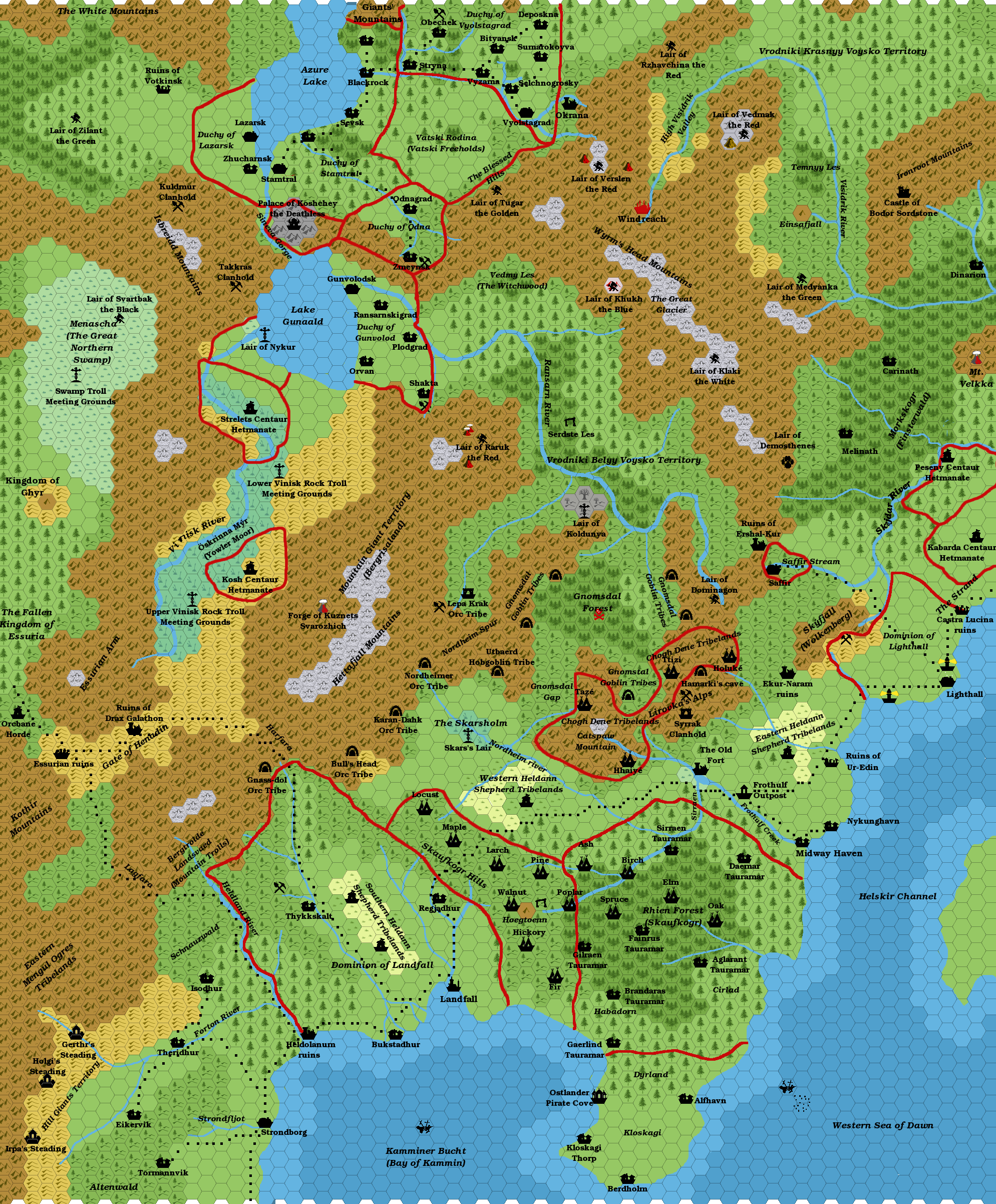
Agathokles’ Skaufskogr region, 8 miles per hex
Giampaolo’s contribution to Threshold #7 was an extensive article on southern Norwold, The Skaufskogr and Beyond. In it, he wove together works by JTR and Pol Ginés, along with his own ideas. Best of all, he made his own map of the area, stretching from Landfall in the south up to Lighthall in the northeast, with Vyolstagrad and Stamtral on the northern edge of the map.
The map built on JTR’s maps of the region, adding more detail while also pushing into previously unmapped areas. It felt like a major step forward for Giampaolo’s mapping; while he had made some very nice maps before, such as his Ochalea and Karameikos maps, this was the first time he had brought such a large, richly detailed map to completion. Could it be that publication in Threshold provided the necessary motivation?
For the full story of the Skaufskogr region, you can find Giampaolo’s article in Threshold #7.
Fan-made Map by Giampaolo Agosta (October 2014)
Fan-made Map by Giampaolo Agosta (October 2014)
This is an original map created by one of Mystara’s excellent fan cartographers. For more information on the cartographer, including a gallery of all their maps, see also Appendix M: Mappers of Mystara.
Sources
- CM1 Test of the Warlords (1984) (PDF at DriveThruRPG)
- XL-1 Quest for the Heartstone (1984) (PDF at DriveThruRPG)
- CM4 Earthshaker! (1985) (PDF at DriveThruRPG)
- M4 Five Coins for a Kingdom (1987) (PDF at DriveThruRPG)
Fan Sources
- Norwold Region, 24 miles per hex by the Italian MMB (2006)
- JTR’s Landfall, 8 miles per hex (July 2007)
- JTR’s Ransarn, 8 miles per hex (March 2008)
- Ransarn Valley adventure/campaign ideas by Pol Ginés (March 2008) (Vaults of Pandius)
- Threshold #7 (1 April 2015) (Vaults of Pandius)
References
- All of Giampaolo’s maps at the Atlas of Mystara
- Giampaolo’s entry in Appendix M: Mappers of Mystara (upcoming)
- Giampaolo’s author page at the Vaults of Pandius
Chronological Analysis
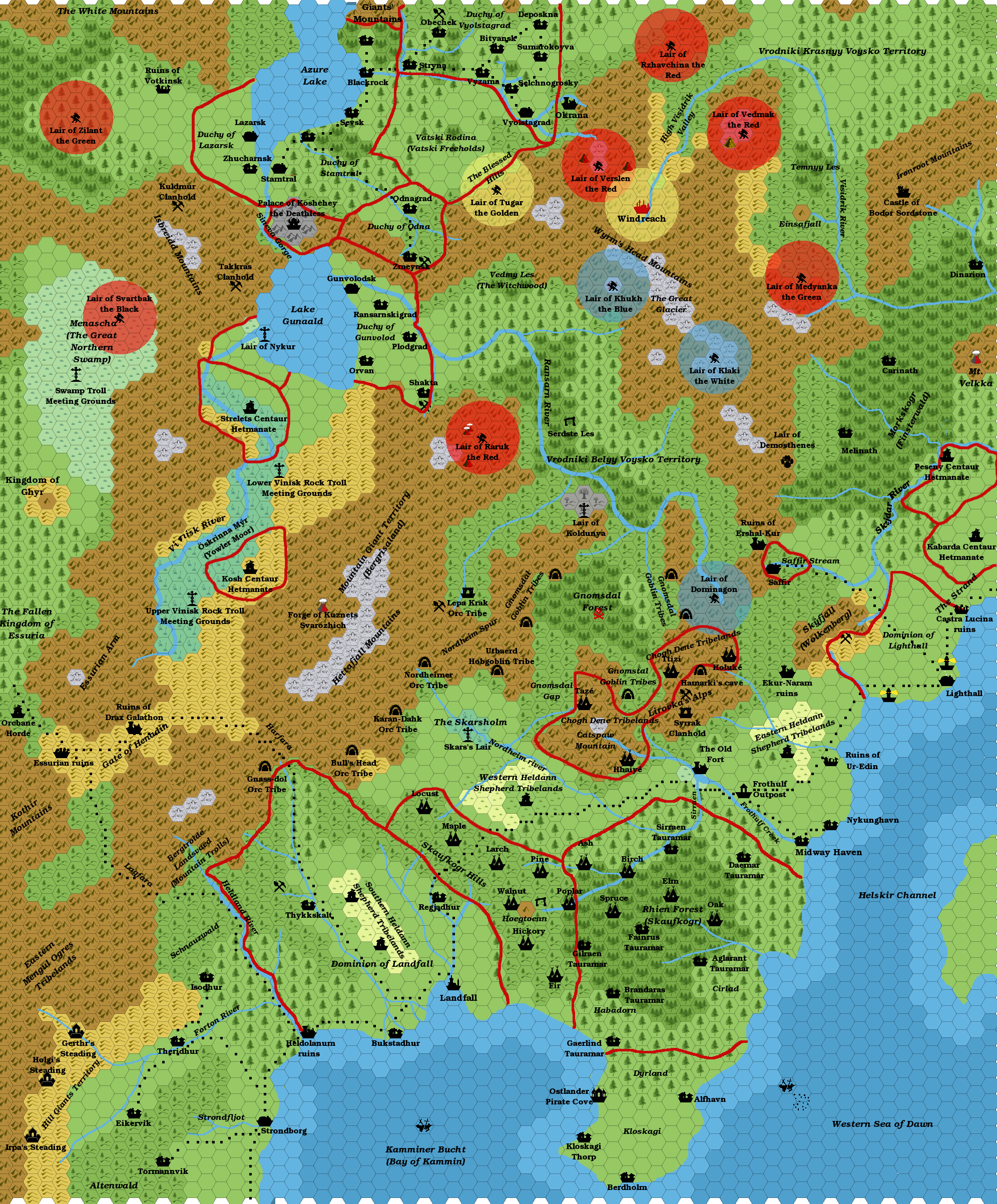
This is a fan-made map. It was created in October 2014 and published in April 2015. The updated Atlas version of this map is not yet available. See also Appendix C for annual chronological snapshots of the area. For the full context of this map in Mystara’s publication history, see the upcoming Let’s Map Mystara 2014.
The following lists are from the Let’s Map Mystara project. Additions are new features, introduced in this map. Revisions are changes to previously-introduced features. Hex Art & Fonts track design elements. Finally, Textual Additions are potential features found in the related text. In most cases, the Atlas adopts these textual additions into updated and chronological maps.
Under Construction! Please check back again soon for updates.
Additions
Revisions
Hex Art & Fonts
- Fonts — Bookman.


