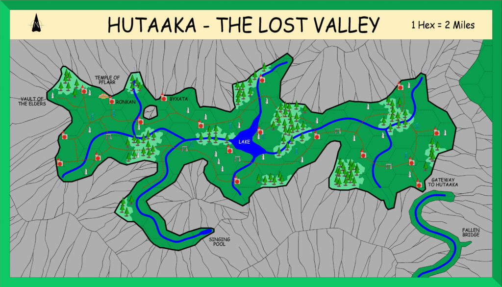
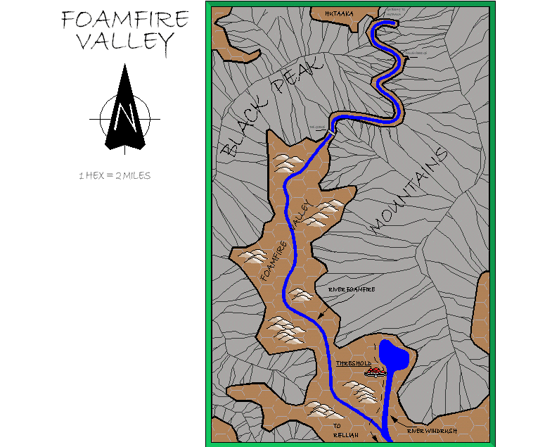
Alan’s Foamfire Valley, 2 miles per hex
Throughout June and July 2001, following on from his Eastern Karameikos map, Alan worked on maps from B10. Many of these were encounter maps, and therefore outside the current purview of the Atlas. (For more on his CC2 maps, see also the article for Alan’s Mystara.)
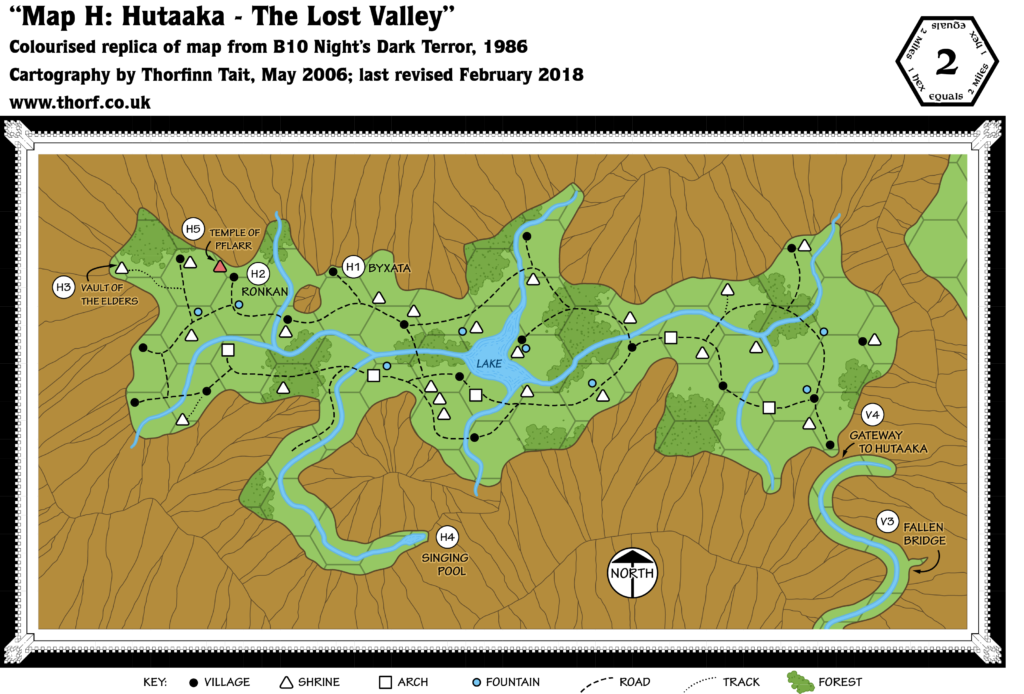
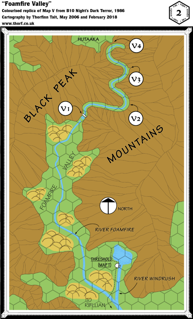
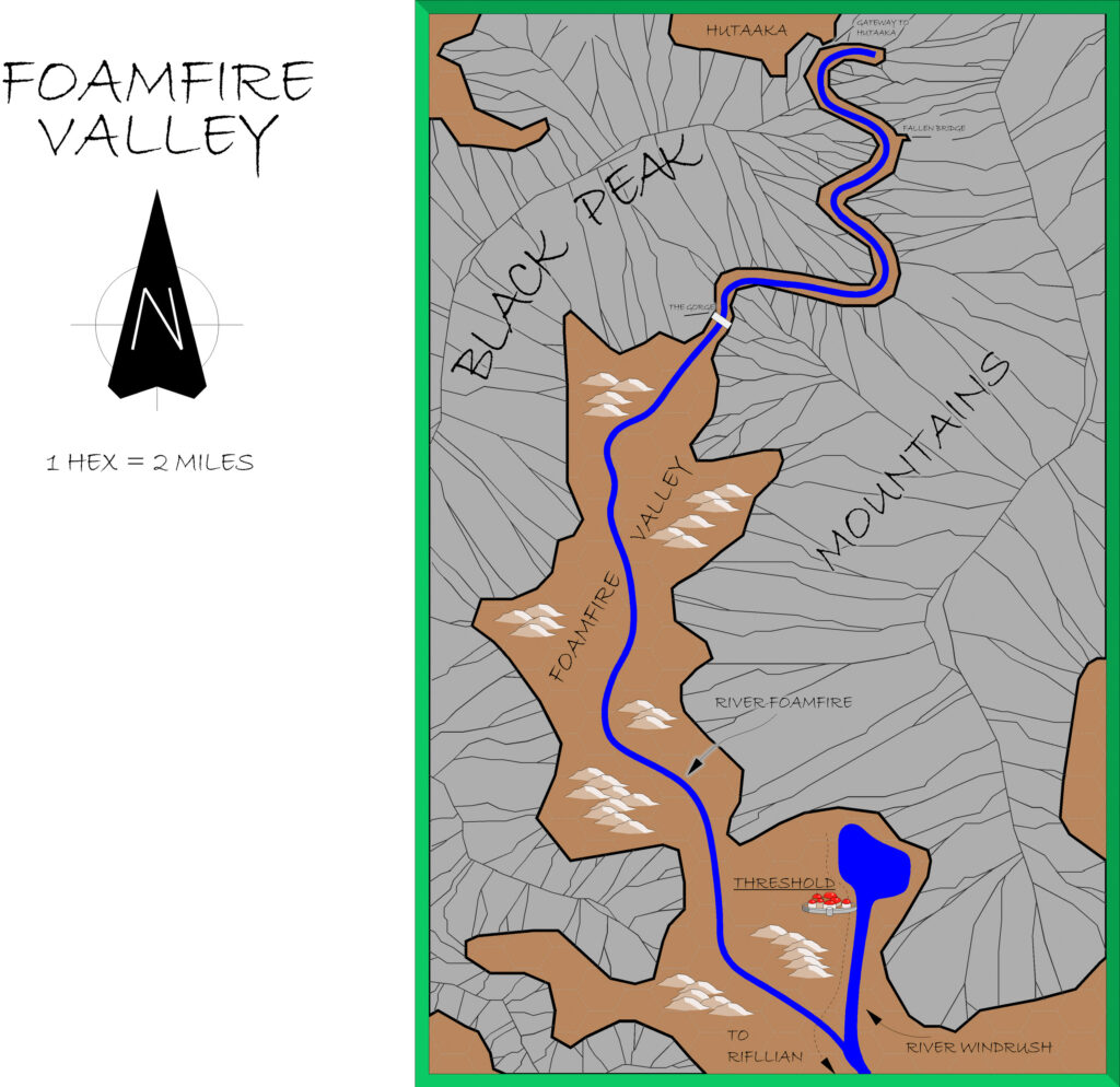
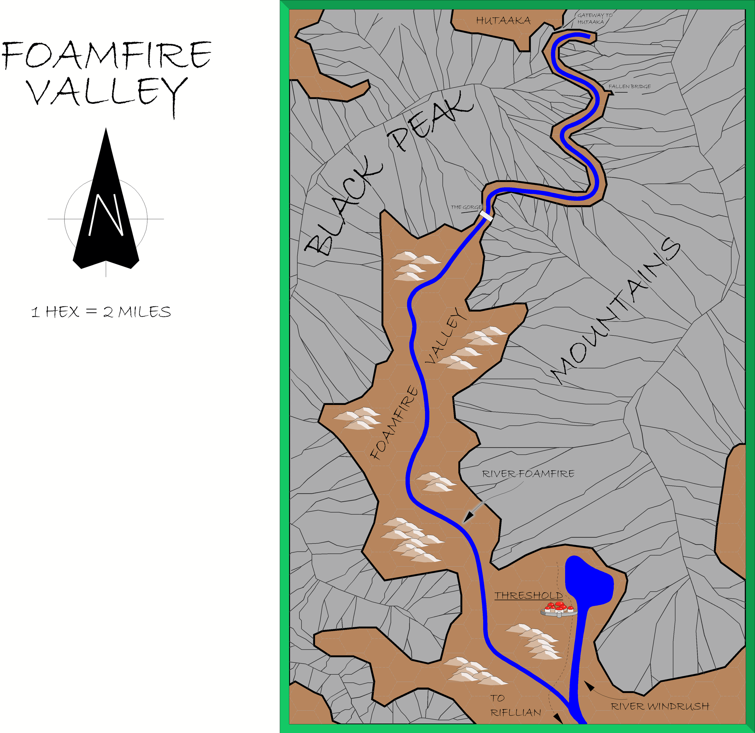
As with Eastern Karameikos, Alan’s Foamfire Valley map was a pretty straight reproduction of the original. However, for this map, Alan also reproduced the mountain ridge lines — a rather painstaking tracing process — as well as changing the numbered encounter locations into geographical labels. And unlike Eastern Karameikos, he included the hex grid.
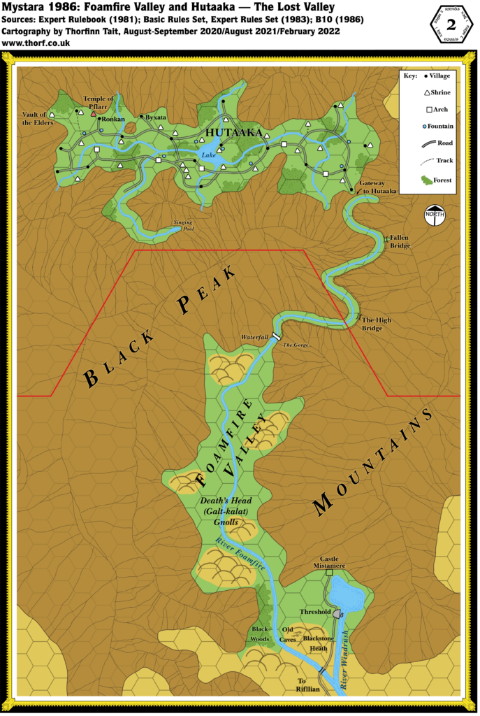
A quick overlay of his B10 maps reveals that Alan stayed true to the originals, and did not attempt to reconcile the inherent inconsistencies between any of these maps.
Below you can see my CC3+ conversion, followed by Alan’s original CC2 export from 2001.
Fan-made Map by Alan Derek Jones (July 2001)
exported in high resolution by Thorfinn Tait, April 2025
Fan-made Map by Alan Derek Jones (July 2001)
This is an original map created by one of Mystara’s excellent fan cartographers. For more information on the cartographer, including a gallery of all their maps, see also Appendix M: Mappers of Mystara.
Sources
- B10 Night’s Dark Terror (1986) (PDF at DriveThruRPG)
Fan Sources
- None.
References
- All of Alan’s maps at the Atlas of Mystara
- Alan’s entry in Appendix M: Mappers of Mystara (upcoming)
- Alan’s author page at the Vaults of Pandius
Chronological Analysis
This is a fan-made map. It was published in July 2001. The updated Atlas version of this map is not yet available. See also Appendix C for annual chronological snapshots of the area. For the full context of this map in Mystara’s publication history, see the upcoming Let’s Map Mystara 2001. (Please note that it may be some time before the project reaches this point.)
The following lists are from the Let’s Map Mystara project. Additions are new features, introduced in this map. Revisions are changes to previously-introduced features. Hex Art & Fonts track design elements. Finally, Textual Additions are potential features found in the related text. In most cases, the Atlas adopts these textual additions into updated and chronological maps.
Additions
- None.
Revisions
- Keyed Locations — Alan changed all of the numbered locations into geographic labels.
Hex Art & Fonts
- Art — Campaign Cartographer 2 symbols and palette.
- Fonts — Bradley Hand ITC throughout.