
Alan’s Glantri City
I have to say, I am extremely impressed with this map. Glantri City was depicted on the other side of GAZ3’s poster map, and it’s a highly complex, not to mention huge, map. And yet Alan deftly reproduced the whole thing from scratch in Campaign Cartographer 2. Wonderful! It’s an amazing piece of work.
Since it’s so detailed, I have provided not one but two high resolution exports from CC3+ below. First is the usual one, then you can find a super high resolution version, exported at double the usual settings. Last is Alan’s original export from CC2.
Thank you very much, Alan, for all of your amazing maps! I’m thrilled to have them all at the Atlas of Mystara, and to be able to shine a spotlight on all of your hard work once again — and hopefully give it another lease of life.
Fan-made Map by Alan Derek Jones (August 2002)
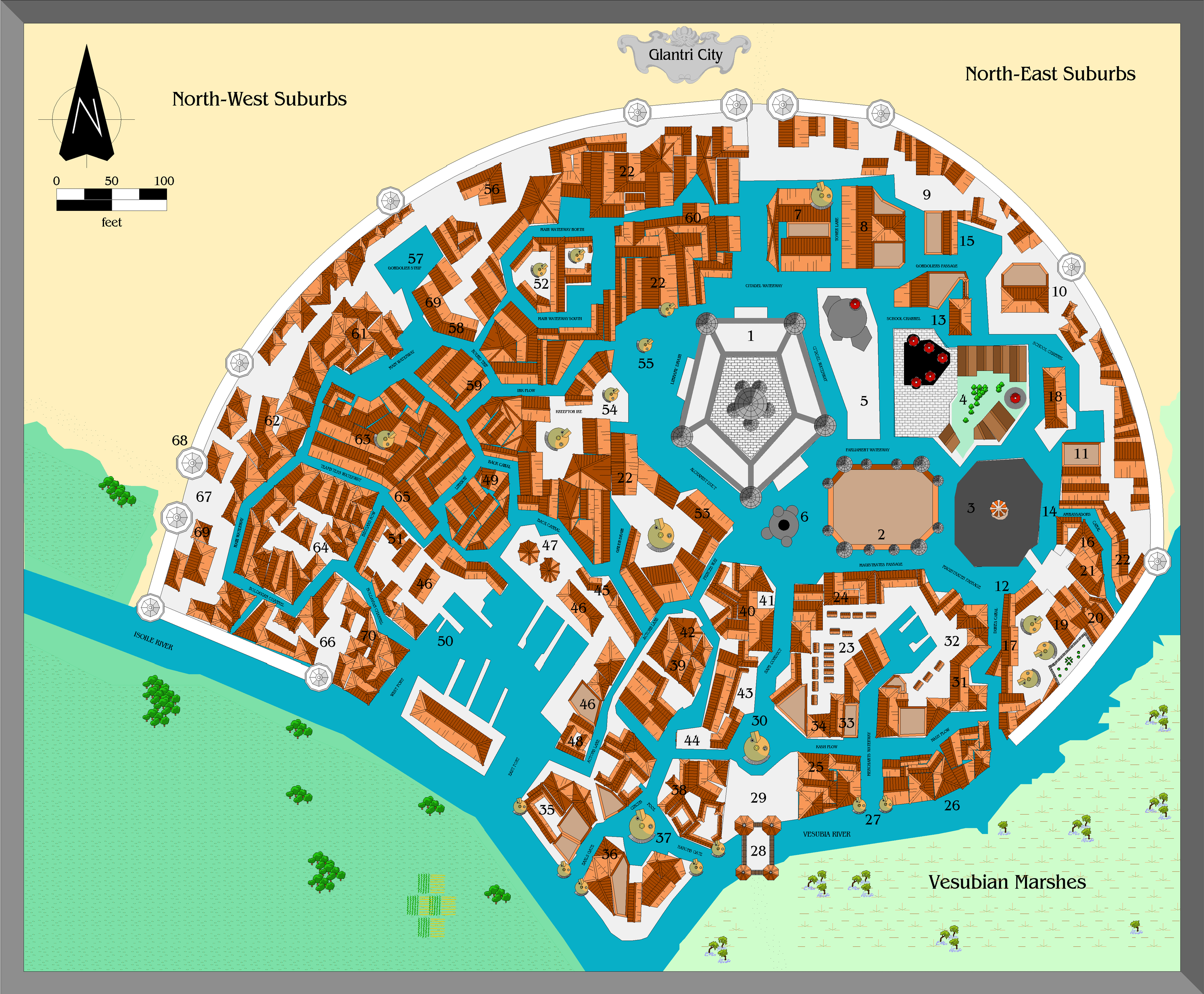
exported in high resolution by Thorfinn Tait, April 2025
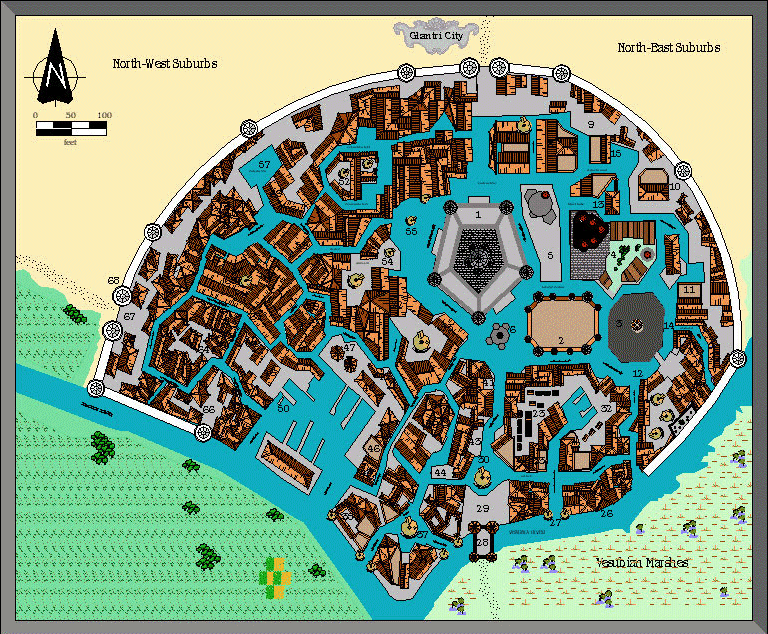
Fan-made Map by Alan Derek Jones (August 2002)

exported in high resolution (200%) by Thorfinn Tait, April 2025
Fan-made Map by Alan Derek Jones (August 2002)
This is an original map created by one of Mystara’s excellent fan cartographers. For more information on the cartographer, including a gallery of all their maps, see also Appendix M: Mappers of Mystara.
Sources
- GAZ3 The Principalities of Glantri (1987) (PDF at DriveThruRPG)
- Glantri City
Fan Sources
- None
References
- All of Alan’s maps at the Atlas of Mystara
- Alan’s entry in Appendix M: Mappers of Mystara (upcoming)
- Alan’s author page at the Vaults of Pandius
Chronological Analysis
This is a fan-made map. It was published in August 2002. The updated Atlas version of this map is not yet available. See also Appendix C for annual chronological snapshots of the area. For the full context of this map in Mystara’s publication history, see the upcoming Let’s Map Mystara 2002.
The following lists are from the Let’s Map Mystara project. Additions are new features, introduced in this map. Revisions are changes to previously-introduced features. Hex Art & Fonts track design elements. Finally, Textual Additions are potential features found in the related text. In most cases, the Atlas adopts these textual additions into updated and chronological maps.
Under Construction! Please check back again soon for updates.


