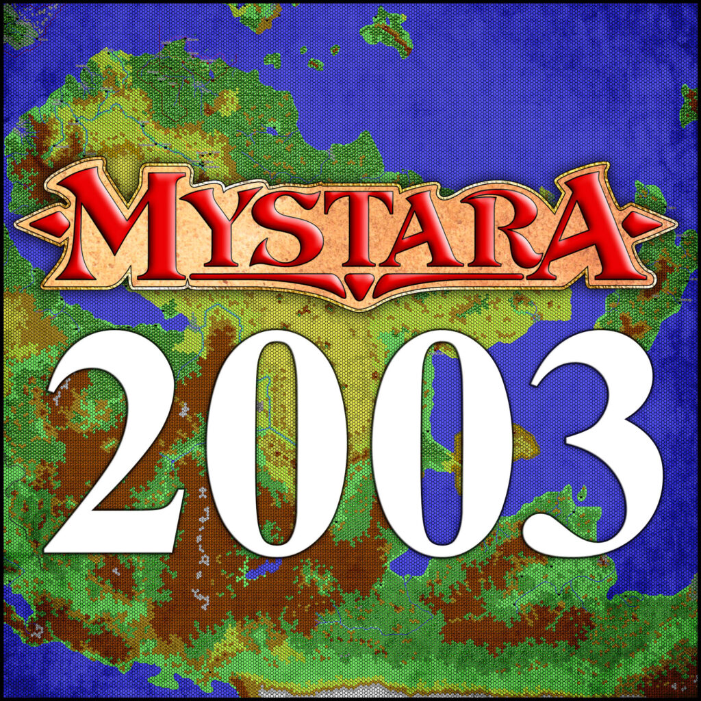
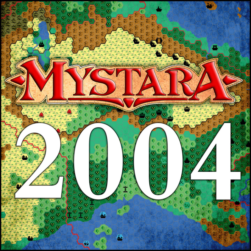
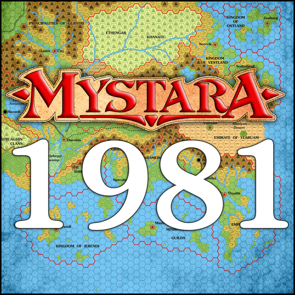
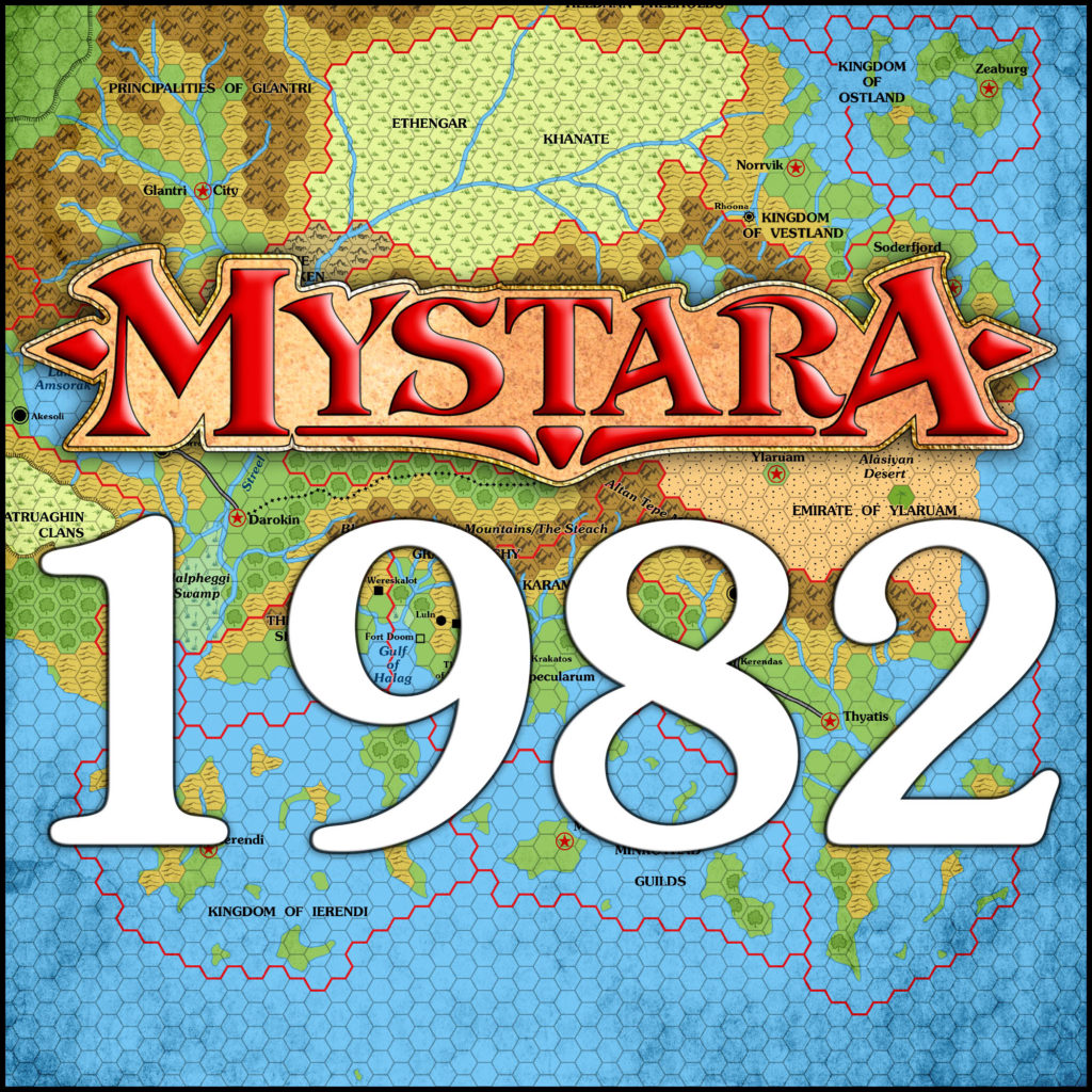
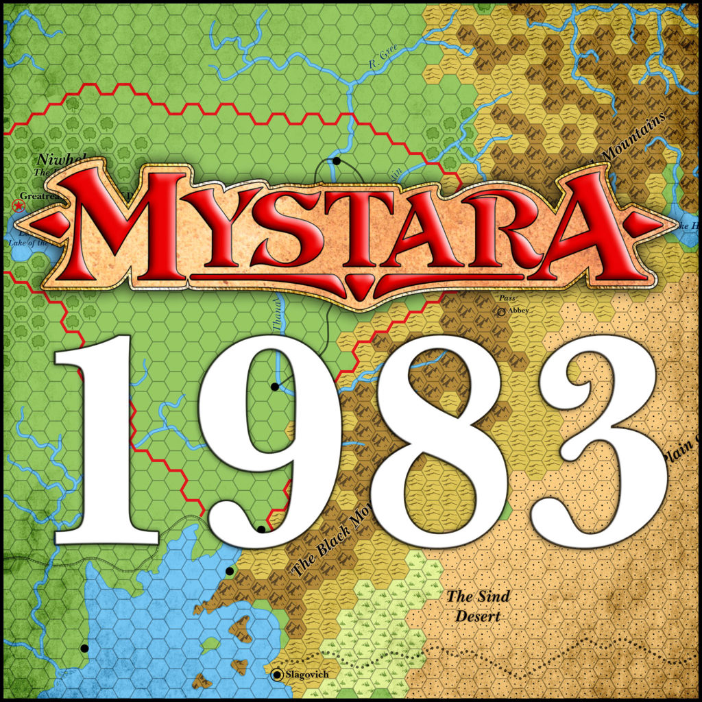
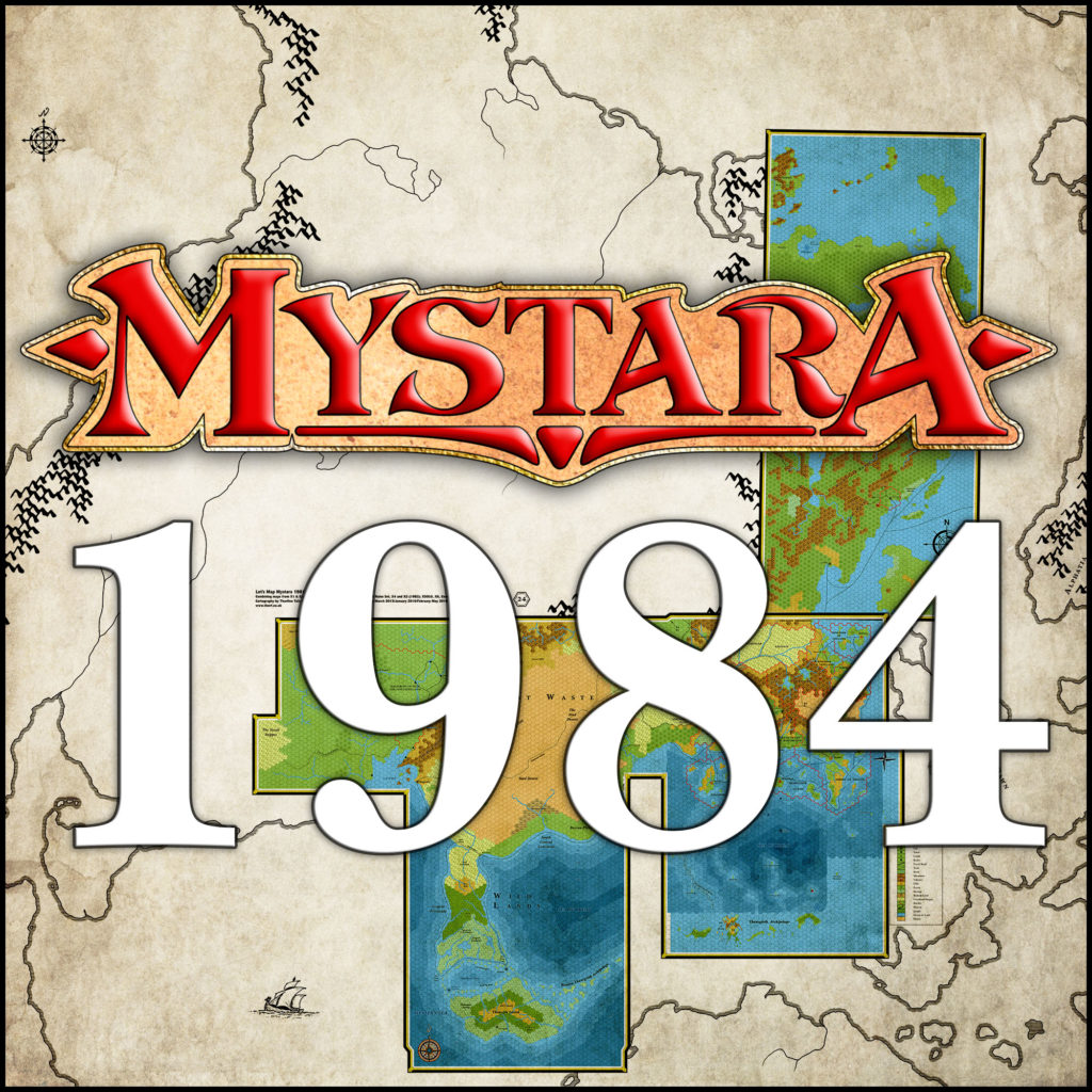
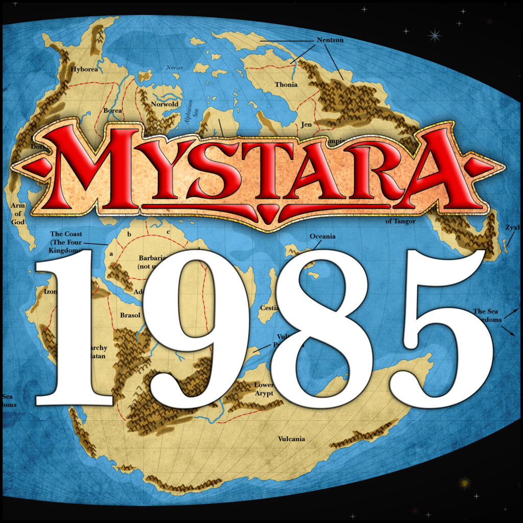
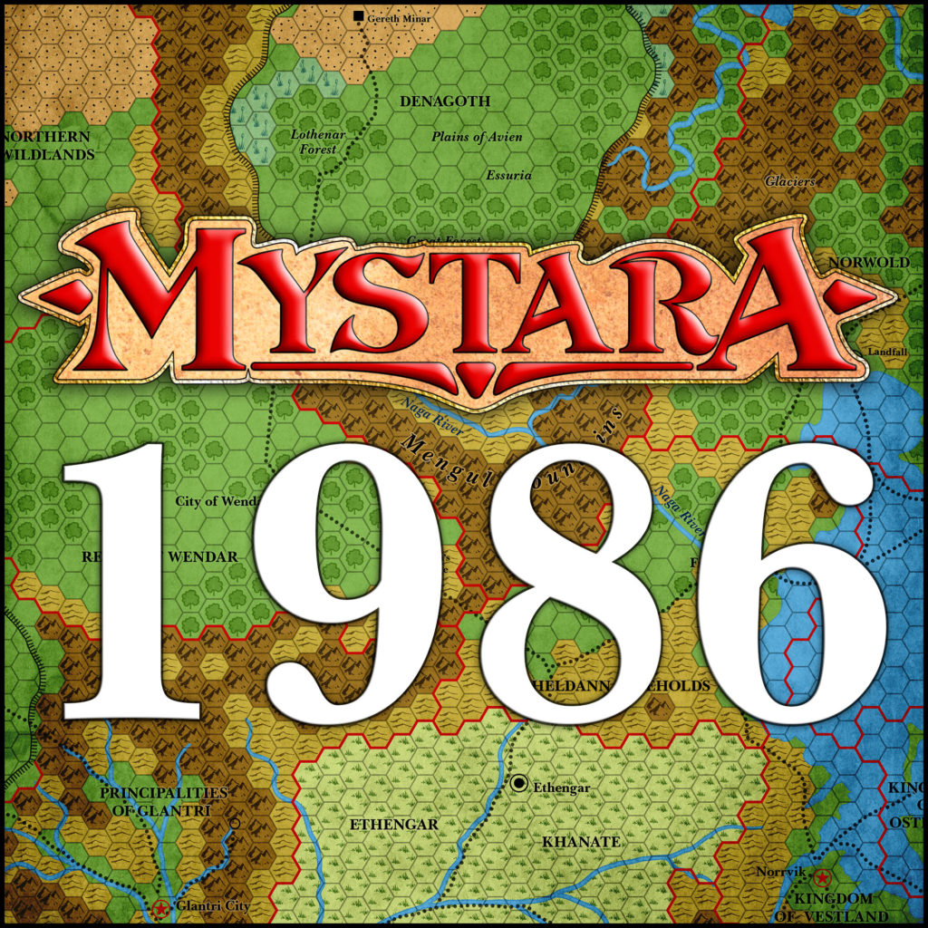
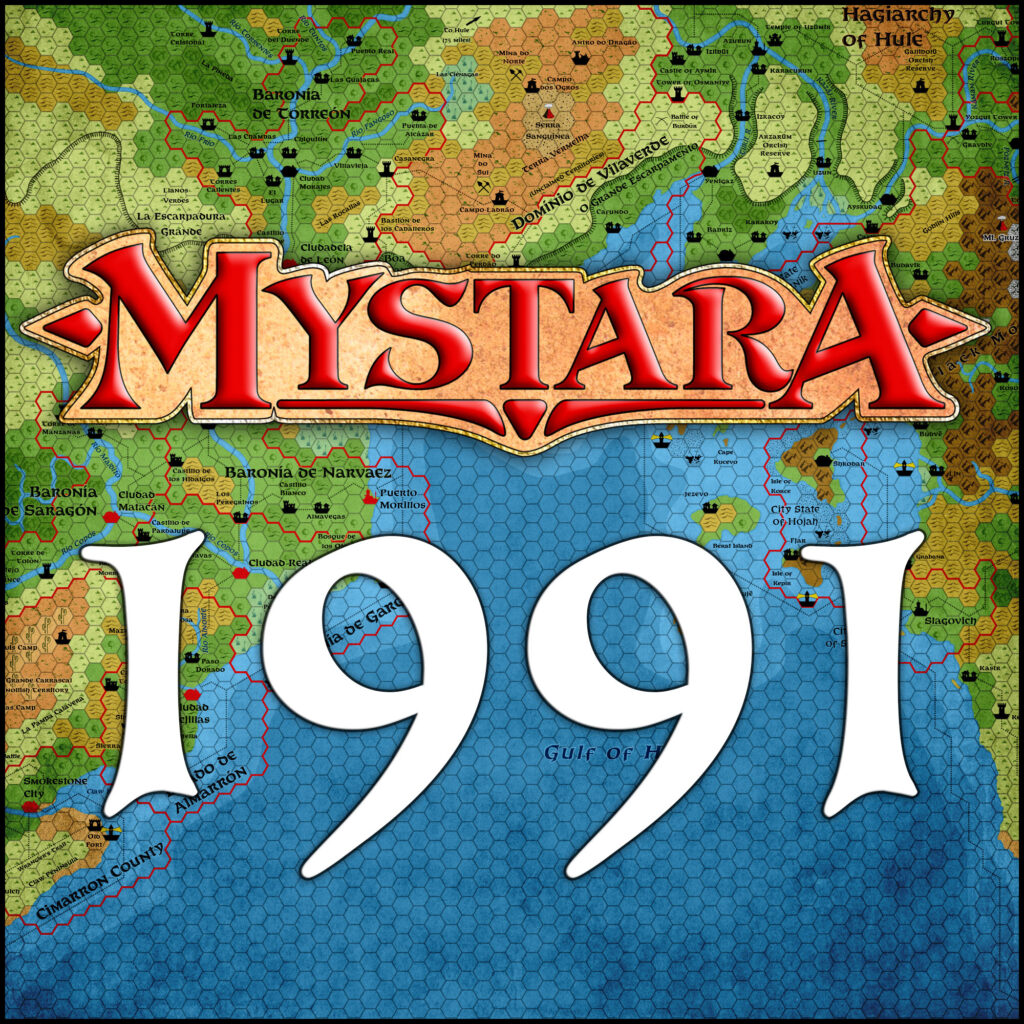
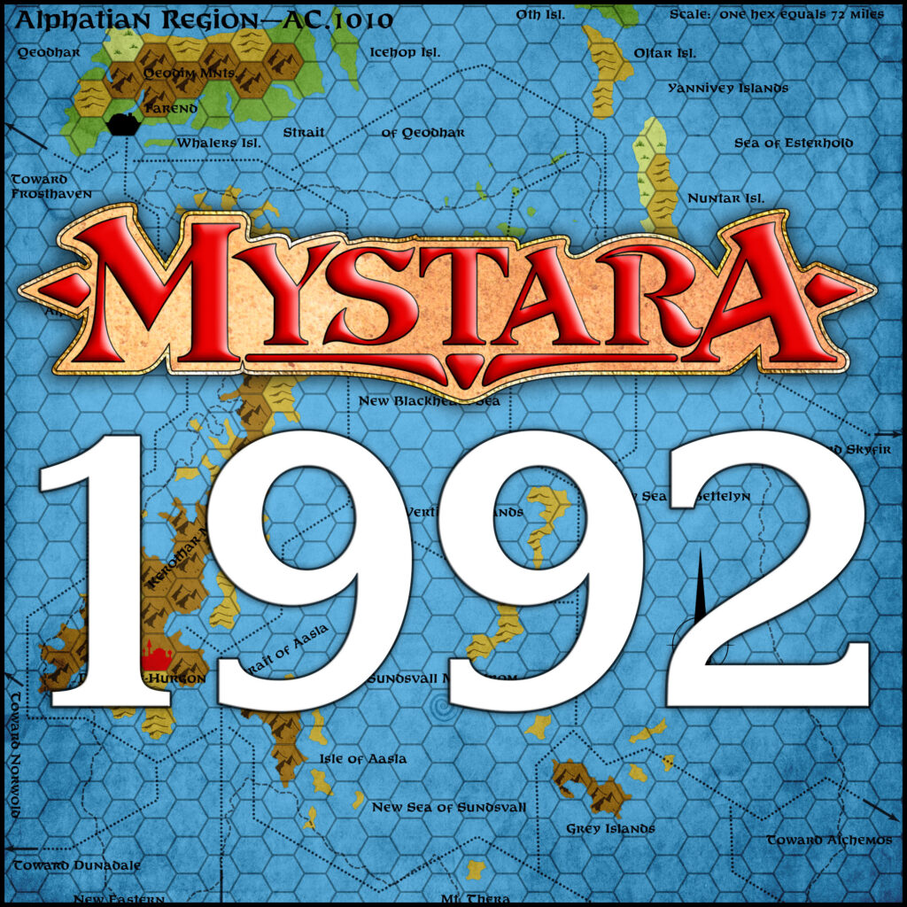
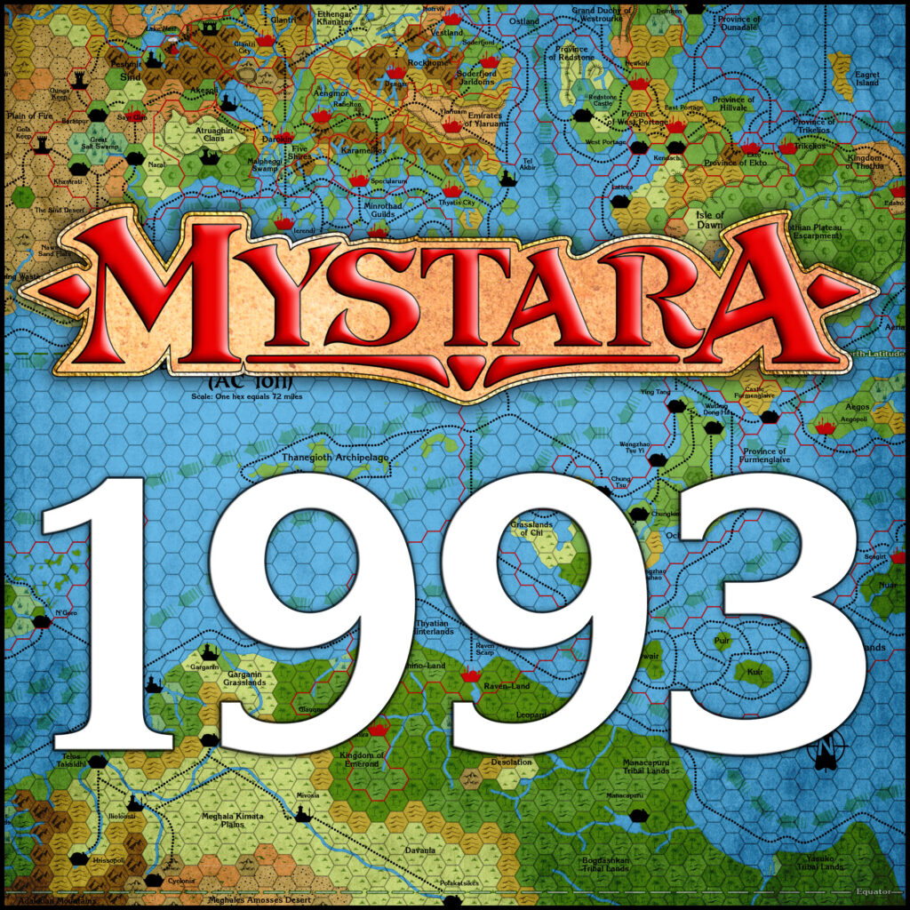
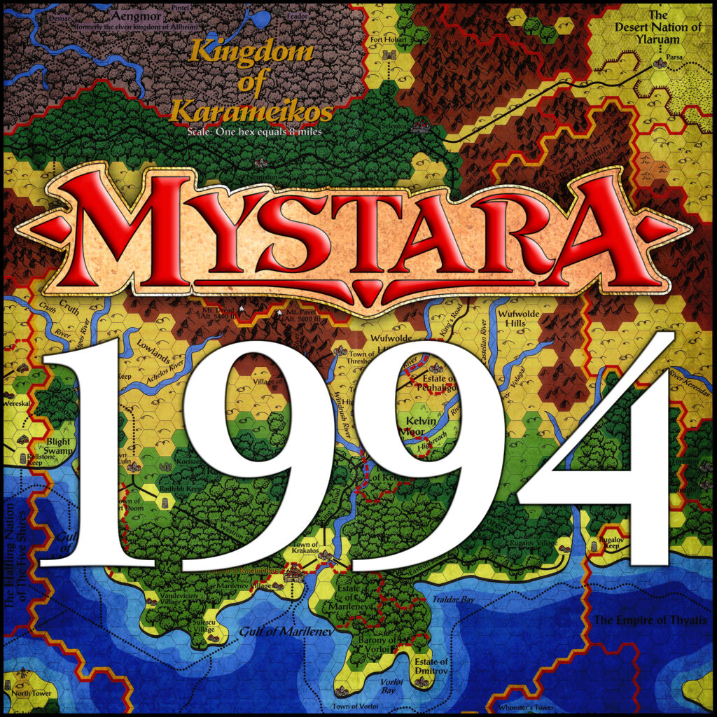
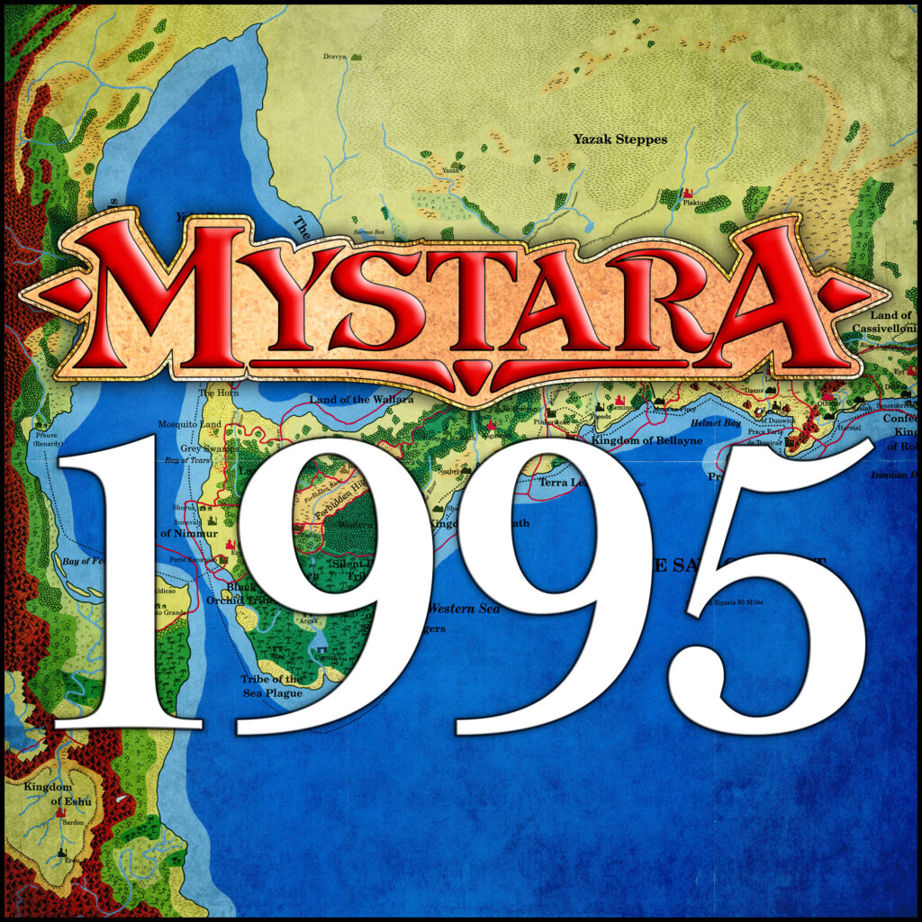
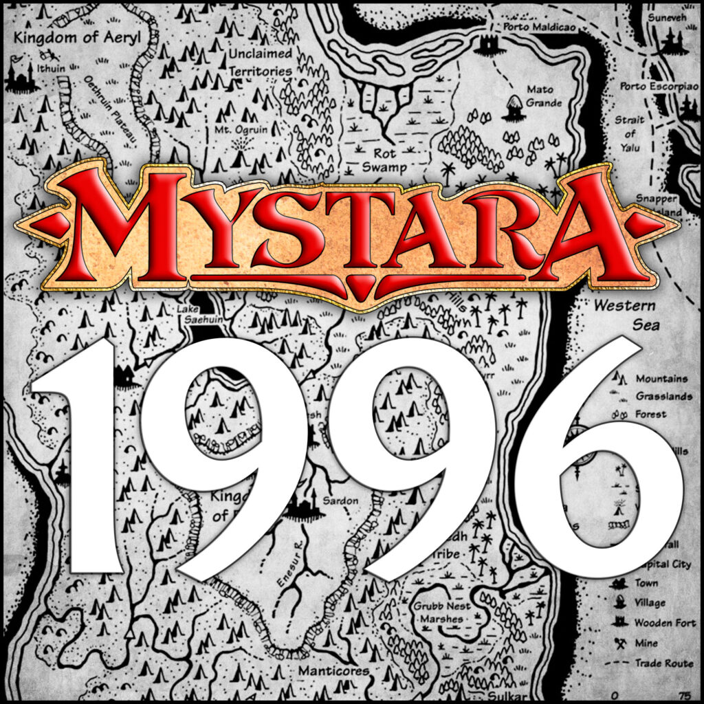
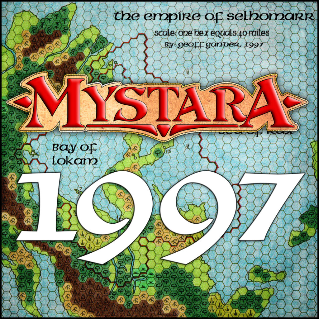
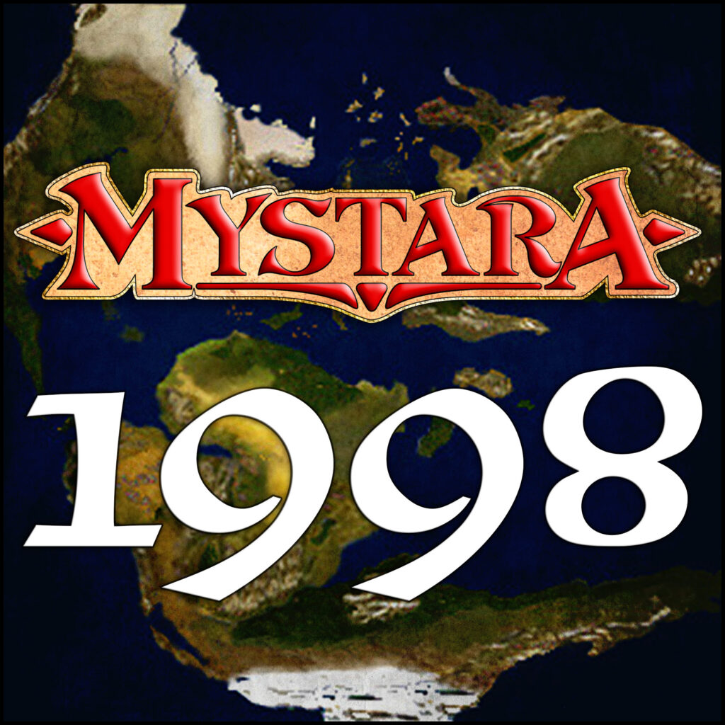
Cartographic Chronology
What was Mystara like in 1986? What font was used on maps in 1981? How did Mystara change in 1992?
This appendix to the Atlas of Mystara aims to answer all these questions and more. It’s an examination of the history of Mystara’s maps in publication, divided into years.
Overview
Mystara began publication with X1 The Isle of Dread in 1981. New products continued to be published every year until 1996. After that, fans picked up where TSR left off, and new maps have been published by fan cartographers every year since then.
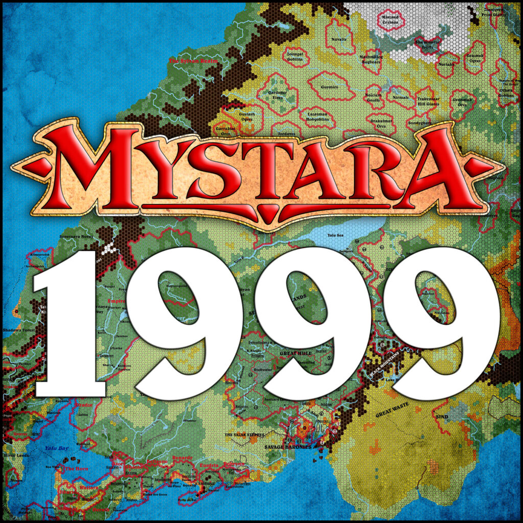
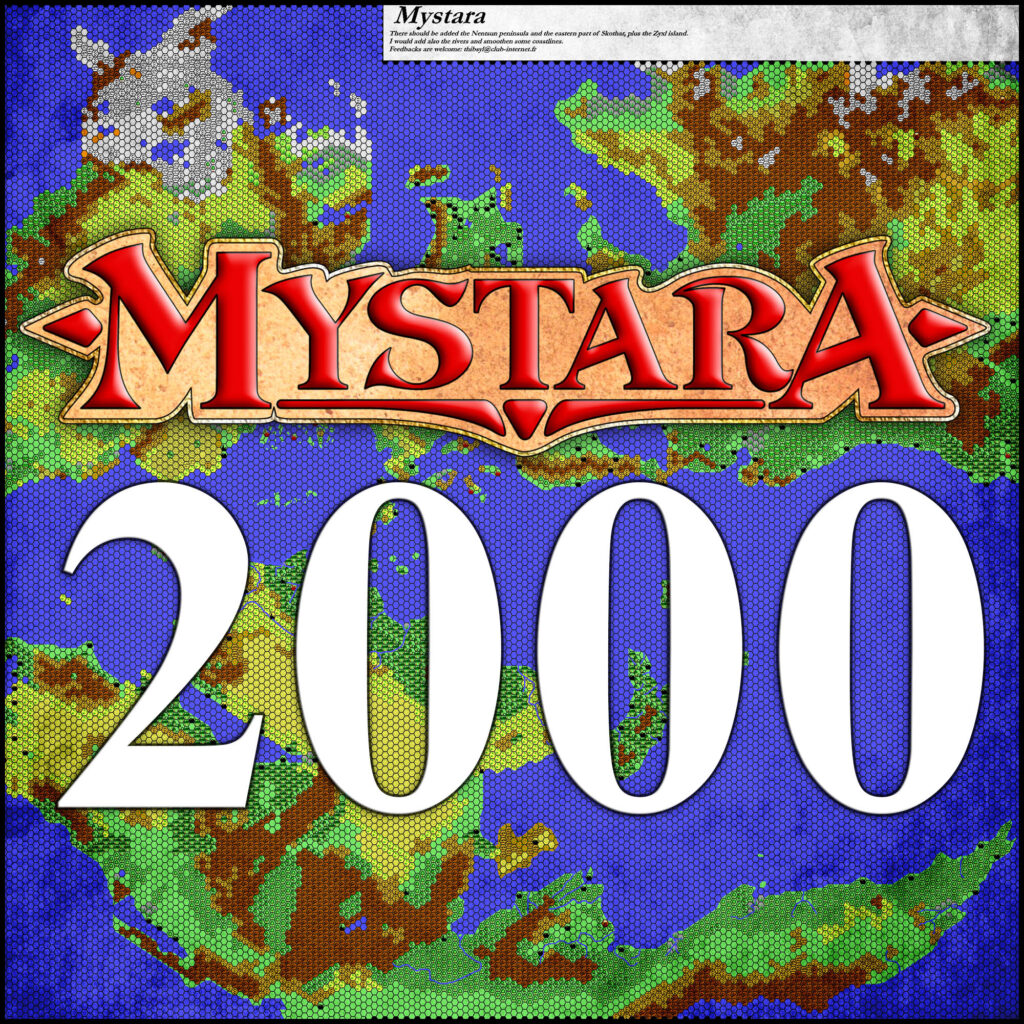
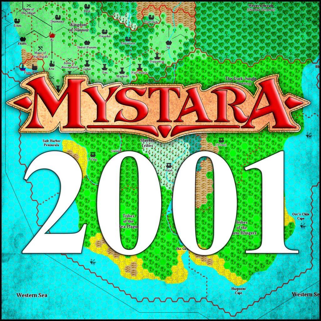
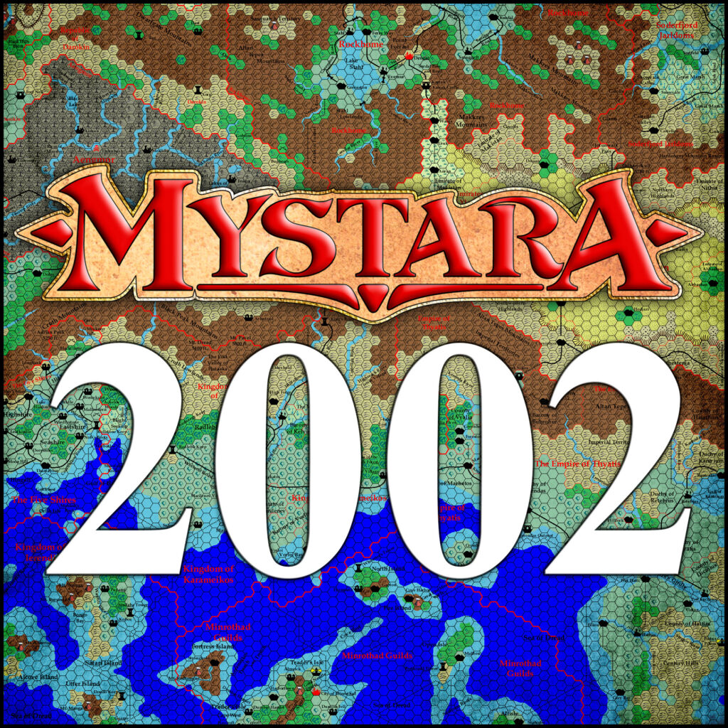
Appendix C presents a series of snapshots of the world of Mystara: one for each year, each showing the state of the setting at the end of that year in its development. These snapshots were developed in the Let’s Map Mystara project; for more details on the development of each year’s maps, visit the corresponding post from that project.
The Cartographic Chronology is a work in progress. The initial plan is to cover the years of publication at TSR, from 1981-1996. This in itself is a massive undertaking. Once it is complete, the logical next step is to move on to fan productions. However, time is not infinite, and the Atlas project has so many other aspects competing for attention that in practice this second stage may never come about.
Let’s Map Mystara — All of it, in chronological order
Although the Cartographic Chronology was conceived back in 2005, at the beginning of the Atlas project, I didn’t begin work on it properly until 2018, with the Let’s Map Mystara project.
This project was inspired by two things: the development of georeferencing for Mystara, enabled by the revelations from the Jurassic Earth as Mystara article and codified in Lining Up Mystara Revisited; and the precedent of RPG.net’s Let’s Read Mystara mega-thread.
Revelations in georeferencing
Georeferencing allows the maps to be infused with GIS database features. Most relevant to this project, it means that every element of the maps can be tagged with its source. What attracted me to this feature was working on the 72 mile per hex map of Brun, which is a huge task since it brings together most of the existing maps of the setting into a single map. GIS tagging allows me to add traceability to every element of the map, which makes it easy to keep track of what has been used where.
Let’s Read
Let’s Read Mystara was interesting because it followed the progression of the setting in a way that we rarely see today: in publication order. This is interesting because it eschews the post-publication reality we have been living for the past twenty years and more, where every product is always available for consideration and reference. Instead, it considers each product in the context of its publication, with its contemporaries and predecessors but without factoring in later products.
This approach brings a clarity that is not possible when considering the entire body of works for Mystara. Each new book brings its own additions, revisions and indeed revelations to the setting.
With these two things in mind, I set out to do a Let’s Read, but for maps: a Let’s Map project. The primary aims of the project are:
- To track the development of Mystara through an examination of every overland map and its associated text, in chronological order.
- To assemble a set of maps showing the extent of the setting during each year of its publication.
The first objective is what you will see if you read the Let’s Map Mystara articles. The second is what this appendix presents here.
The Maps
I encourage you to explore the maps in their posts here. Feel free to post commentary on each page. And if you want to read the backstory to each map, check the Chronological Analysis section at the bottom of each Replica map’s post.
