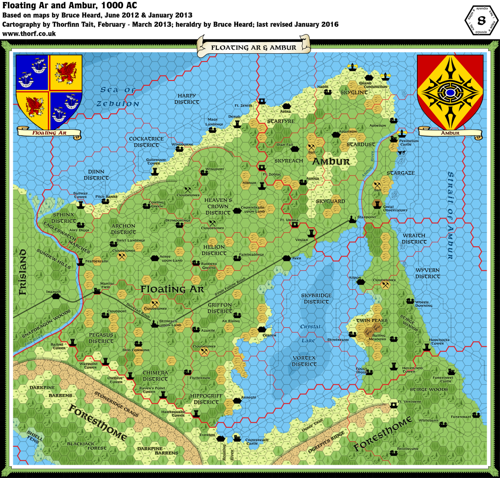
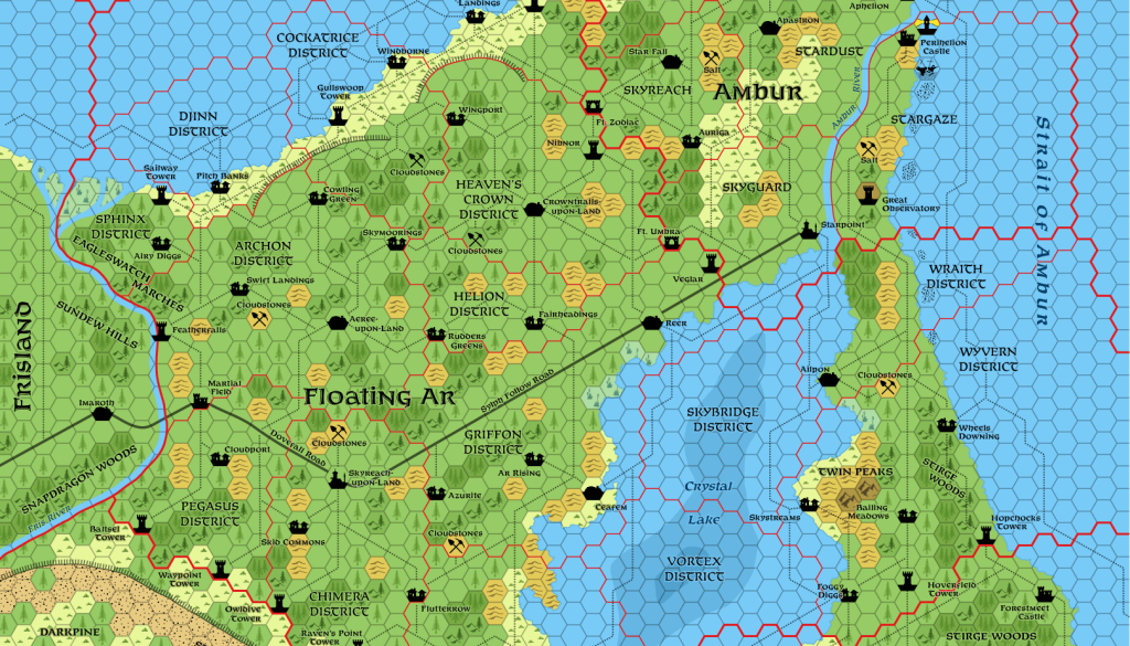
Ar & Ambur, 8 miles per hex
First and foremost, the Land of Ar is home to a huge farming community. The majority are serfs whose role is to grow food. Land-dwelling bourgeoisie, skyborne aristocracy, viceroys, and the king own patchworks of small farming plots, which account for much of the surface. A few free farmers hold the deeds to their own lands, while a much greater number simply rent farms and fields from their owners. Ar is a northern kingdom with harsh weather and a relatively short growing season. Without the use of enchantments, the kingdom would never be able to support its population of nearly one million people.
from Bruce Heard’s The Alphatian Province of Ar
This small kingdom at the northeastern tip of the Alphatian Empire has been variously described as a quiet, underdeveloped, fog-shrouded realm engrossed in its passion for theaters and stargazing. There is far more to the story to explain the success of Ambur. This picturesque image, however, serves to veil a most peculiar and sinister secret.
from Bruce Heard’s The Alphatian Province of Ambur
Map (updated 12th January 2016)

Sources
- The Empire of Alphatia, 24 mile per hex poster map from Dawn of the Emperors (1989)
- Ar and Ambur, 8 mile per hex map by Bruce Heard
Notes
As with all his Alphatia 8 mile per hex maps, Bruce Heard added a great deal of detail and character to the region when converting from 24 miles per hex. The Atlas considers Bruce’s map to be the definitive source for Ar and Ambur.


