B10 Island of Lost Dreams
B10 included quite a number of large scale encounter and location maps. Most of these are presently beyond the scope of the Atlas, which is currently focused on the bigger geographical picture. But where landforms are concerned, exceptions can sometimes be made.
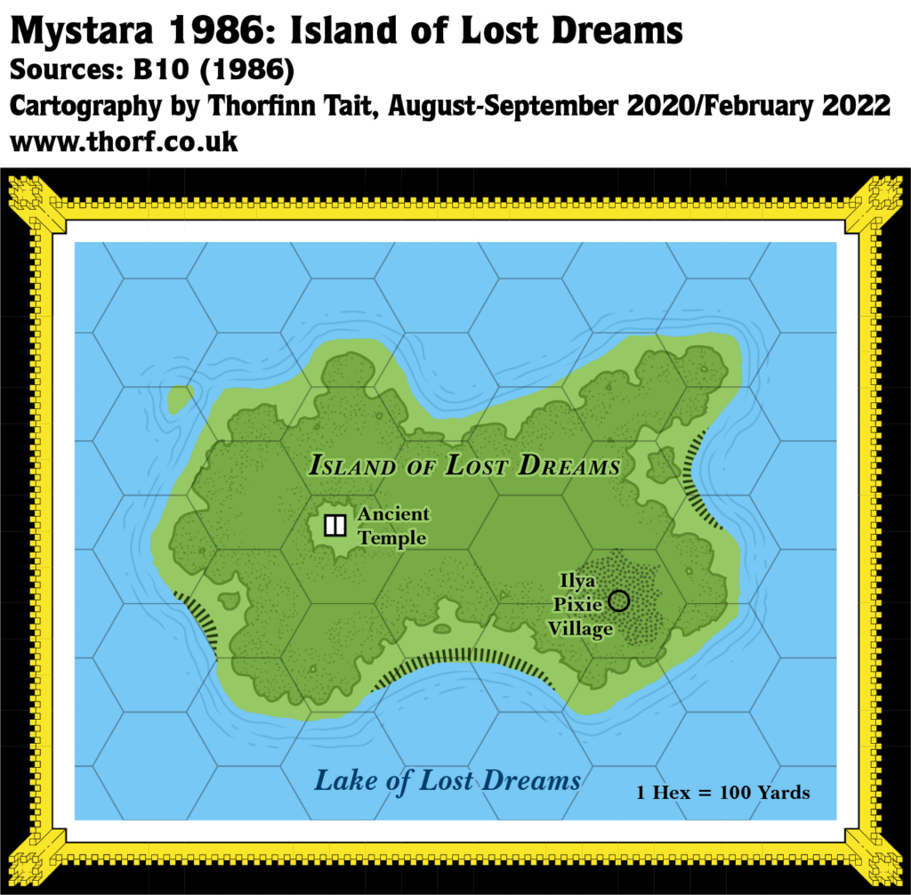
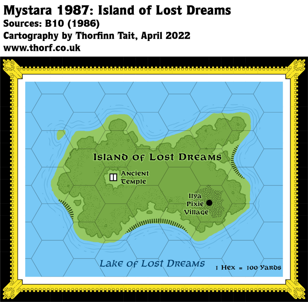
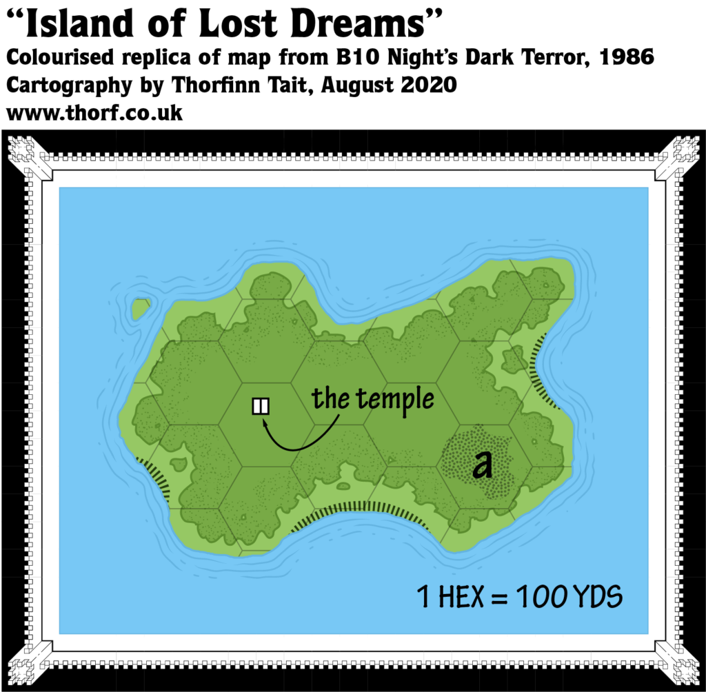
The Island of Lost Dreams is tiny when compared to its encompassing maps, being in fact less than one third of a mile long. Nevertheless, this detail map presents its shape, if not its position in the Lake of Lost Dreams. As such, it has been added to the Atlas.
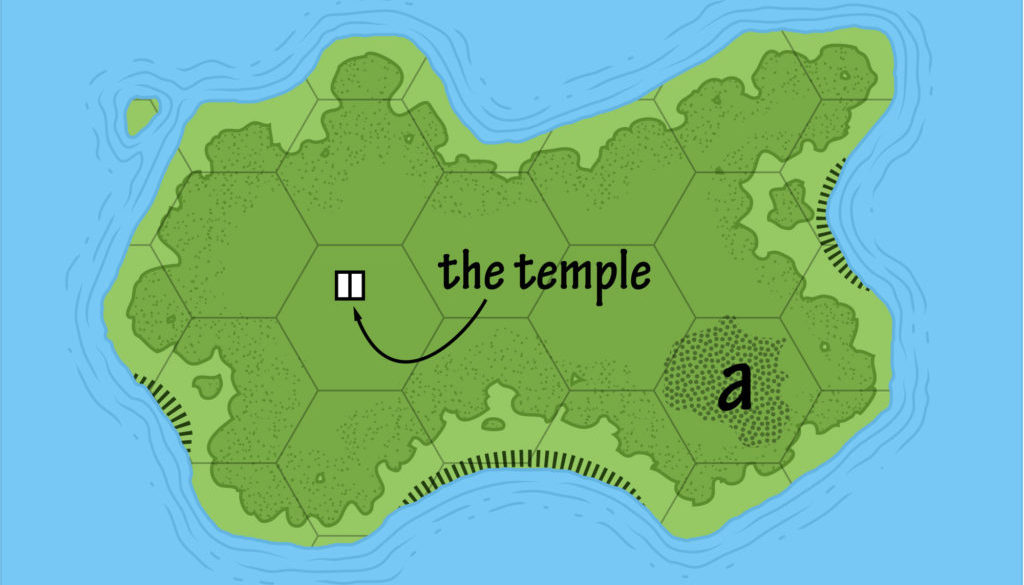
Replica Map (August 2020)
Sources
- B10 Night’s Dark Terror (1986) (PDF at DriveThruRPG)
- V11, inside second cover (Cartography by Geoff Wingate)
Chronological Analysis
This is Map 44. It was published in February 1986. The updated version of this map has not yet been released. See also Appendix C for annual chronological snapshots of the area. For the full context of this map in Mystara’s publication history, see Let’s Map Mystara 1986.
The following lists are from the Let’s Map Mystara project. Additions are new features, introduced in this map. Revisions are changes to previously-introduced features. Hex Art & Fonts track design elements. Finally, Textual Additions are potential features found in the related text. In most cases, the Atlas adopts these textual additions into updated and chronological maps.
Additions
- Islands — The precise shape of the Island of Lost Dreams in the Lake of Lost Dreams is presented here. Its precise location in the lake is not clear from this map.
- Settlements — A single unnamed temple. This is too large scale to appear on any of the smaller scale maps, and therefore beyond our consideration.
Hex Art & Fonts
- Fonts — Hand-written text in a clear, architect-like style. The replica map uses Tekton Pro.
- New Symbols — Cliffs (dashes along the coast), though there is no key to define this art.
Textual Additions (B10 1986)
Only those references relevant to this map are listed. For the full list, see B10 Eastern Karameikos, 3 miles per hex.
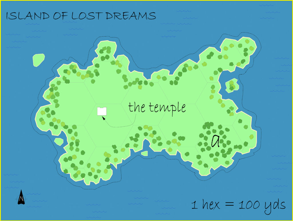
- Islands — Map W11 shows the exact shape of the Island of Lost Dreams, but since the island is only about 550 yards long (at a 100 yards per hex scale), it’s somewhat beyond the scope of this project. The Temple marked on the map is referred to as “Ancient Building” in the text; it’s said to be in the centre of a grassy clearing in the woods (page 17). The “a” on the map is a pixie village (population 14). The pixies are known as the “Ilya”. (Pages 16-17)
- Lakes — The Lake of Lost Dreams, in the midst of which the Island of Lost Dreams lies, is named in the text (page 16). (See also Islands above.)
Join in the Discussion at The Piazza
Come and join in the discussion about this map at The Piazza, where I am holding a “read through” of the Let’s Map Mystara project.

