B11 Northern Karameikos, 3 miles per hex
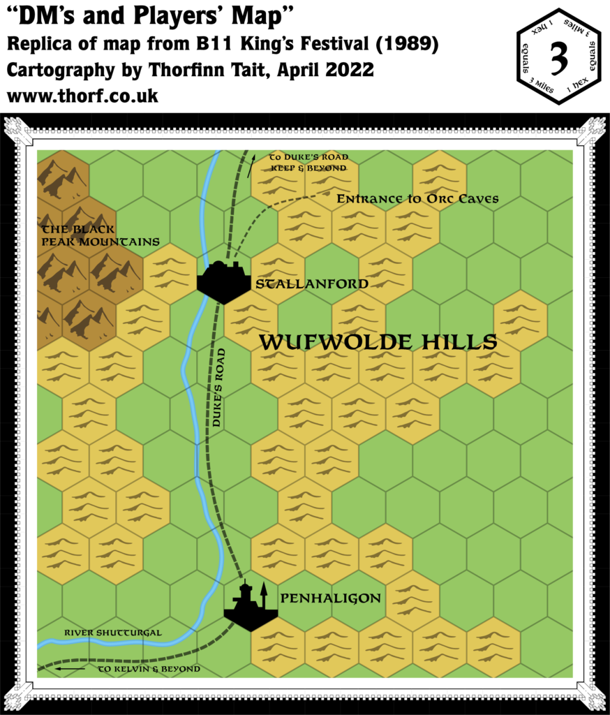
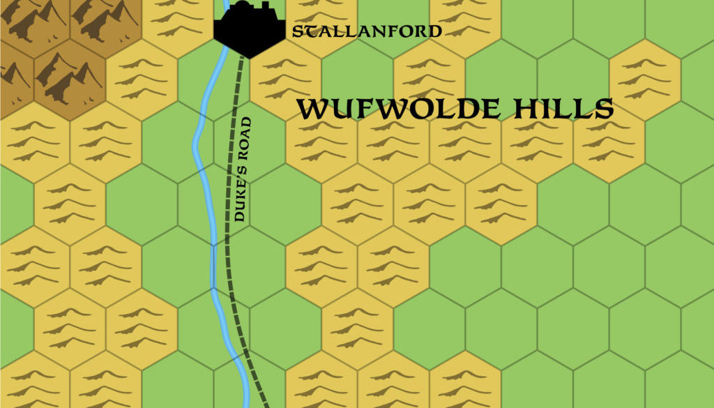
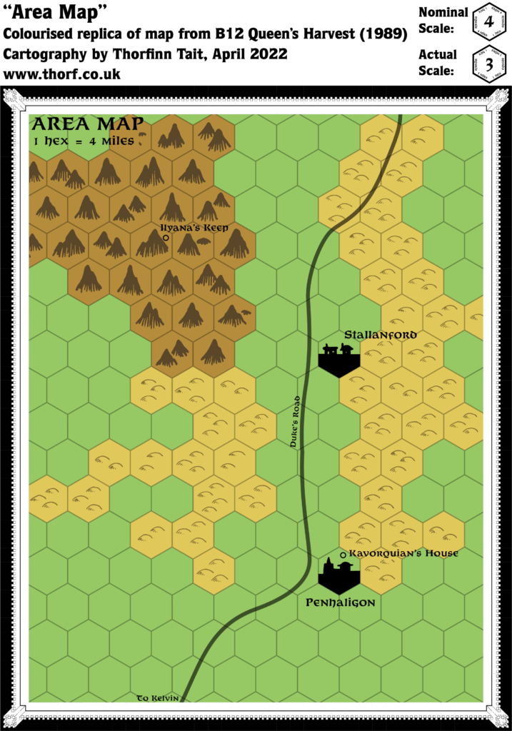
B11 included a small detail map introducing a new town in northern Karameikos, Stallanford, north of Penhaligon. This was the second time to show this region at this scale, as it had previously been included in B10’s map three years earlier.
Replica Map (April 2022)
Sources
- B11 King’s Festival (1989) (PDF at DriveThruRPG)
- Page 20 map (Cartography by Diesel)
Chronological Analysis
This is Map 112. It was published in July 1989. The updated version of this map has not yet been released. See also Appendix C for annual chronological snapshots of the area. For the full context of this map in Mystara’s publication history, see Let’s Map Mystara 1989.
The following lists are from the Let’s Map Mystara project. Additions are new features, introduced in this map. Revisions are changes to previously-introduced features. Hex Art & Fonts track design elements. Finally, Textual Additions are potential features found in the related text. In most cases, the Atlas adopts these textual additions into updated and chronological maps.
Coming Soon

16 April 2022 @ 12:36 am
It’s ‘Penhaligon’. For someone claims to only produce/replicate what was, despite the fact that the map shows the correct name….. seriously?
16 April 2022 @ 7:53 am
Sorry, I was writing the summary in a terrible hurry. It’s fixed now. Thanks for letting me know!
16 April 2022 @ 6:39 am
Doesn’t this also introduce a new kind of cave symbol, which now permits three locations for a cave within a hilly hex?
16 April 2022 @ 8:04 am
It’s a rather unique cave symbol, for sure. It looks to me like a modified hill hex with the cave marked in as a separate cave-shaped blob, presumably in the exact location the designer intended it to be placed. I’d hesitate to call this a cave hex — it seems rather to be a hill hex with a separate symbol for the cave.
Usually hex symbols don’t specify precisely where in the hex a location falls, so this is a bit non-standard. Compare it to the Stallanford and Penhaligon symbols on this map, which just tell us that the towns are located somewhere in those hexes. For the same reason, cave or caves hexes can always be considered to include one or multiple caves.
By the way, there is a cave hex that shows three caves, one in each of the hills. Is this what you were thinking of here? I can’t remember for sure, but I suspect that one was my own invention, based on PC4’s cave symbol, which had just a single hill with a cave, small in the middle of its hex.
17 April 2022 @ 12:06 pm
I just mean that this new/nonce Hill-cave hex does offer the opportunity to mark hill caves more exactly. I figured that it offers three places (on the left side of three different hills) to stick the cave. but maybe that format also allows the cave to be drawn elsewhere on the hills, such as the right side or center of Jane if the hills.
Even tho it may not have been used again, it is an “official” hex style, and conveys more info than the usual cave hex. From 1987 on, this style could be used for other hilly hexes where we know the exact location and number of caves within the hex.
26 July 2023 @ 10:14 am
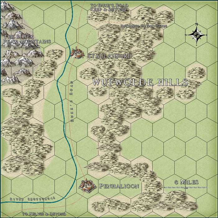
It’s interesting seeing this. One of my first attempts at making a map with the standard symbols set was this B11 map. However, I decided that rather making an exact replica from Page 20 of the module, I would make the hexes consistent with other map, in other words with vertical rather than horizontal rows of hexes.