B12 Northern Karameikos, 4 miles per hex
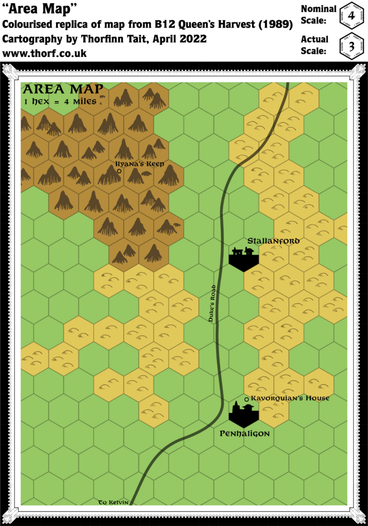
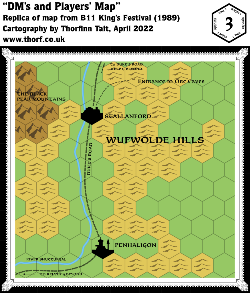
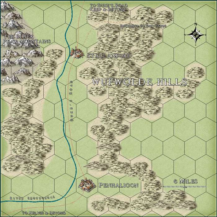
B12 came just a few months after B11, a direct sequel to its predecessor with the same overall setting. The map was zoomed out slightly from 3 to 4 miles per hex (though it looks like in fact both maps may be intended to be the same scale — further analysis is needed to clarify this), and took up a full page, showing a little more of the surrounding area. Though similar, the two maps have some rather confusing differences in style. For example, while B11 shows the settlements on the road, B12 places them off to the side. B12 also misses out the River Shutturgal entirely, and downgrades Penhaligon and Stallanford from city and town to town and village.
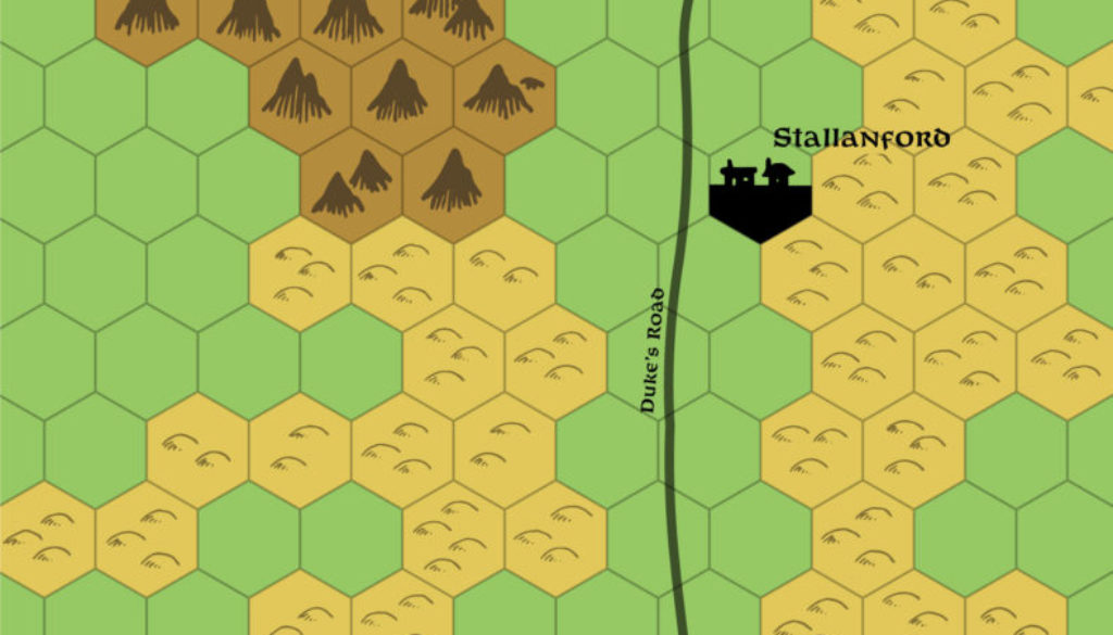
But perhaps the most striking of this map’s features is the hand-drawn hex art. While the hills are the usual TSR symbol of the time, the mountains are quite distinctive, unlike any of the previous mountain symbols used in Mystara maps up until this time. The settlement symbols are also slightly different from the usual art.
Replica Map (April 2022)

Sources
- B12 Queen’s Harvest (1989) (PDF at DriveThruRPG)
- Page 15 map (Cartography by Diesel)
Chronological Analysis
This is Map 126. It was published in November 1989. The updated version of this map has not yet been released. See also Appendix C for annual chronological snapshots of the area. For the full context of this map in Mystara’s publication history, see Let’s Map Mystara 1989.
The following lists are from the Let’s Map Mystara project. Additions are new features, introduced in this map. Revisions are changes to previously-introduced features. Hex Art & Fonts track design elements. Finally, Textual Additions are potential features found in the related text. In most cases, the Atlas adopts these textual additions into updated and chronological maps.
Coming Soon


