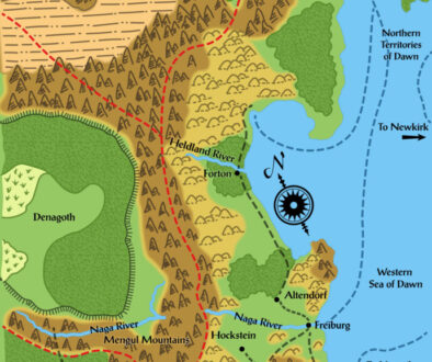
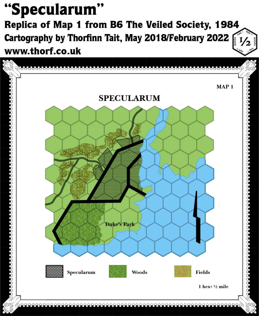
B6 Specularum, 0.5 miles per hex
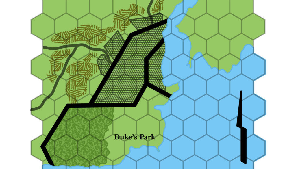
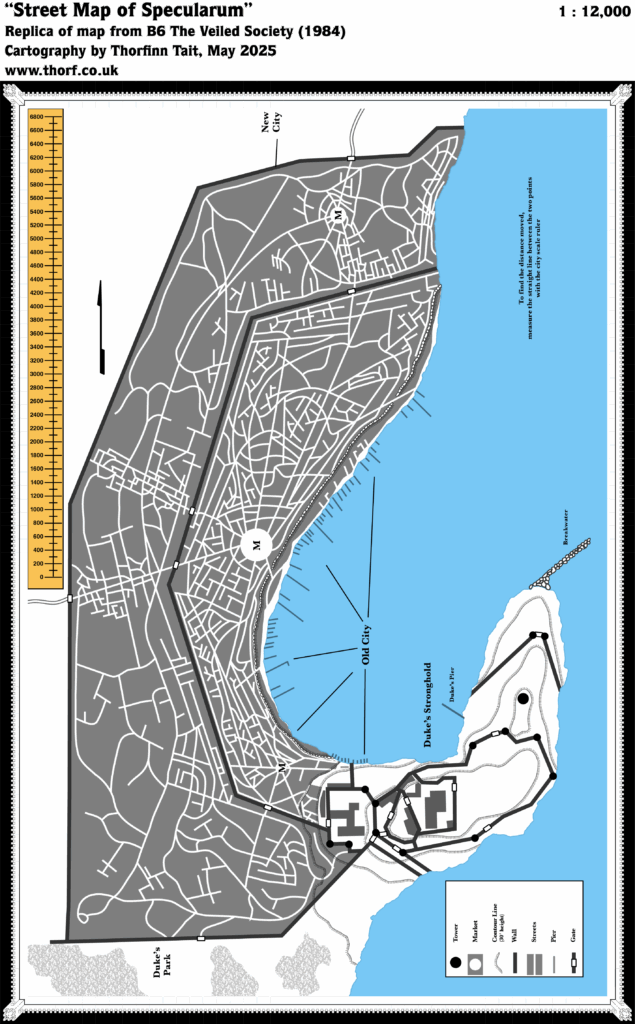
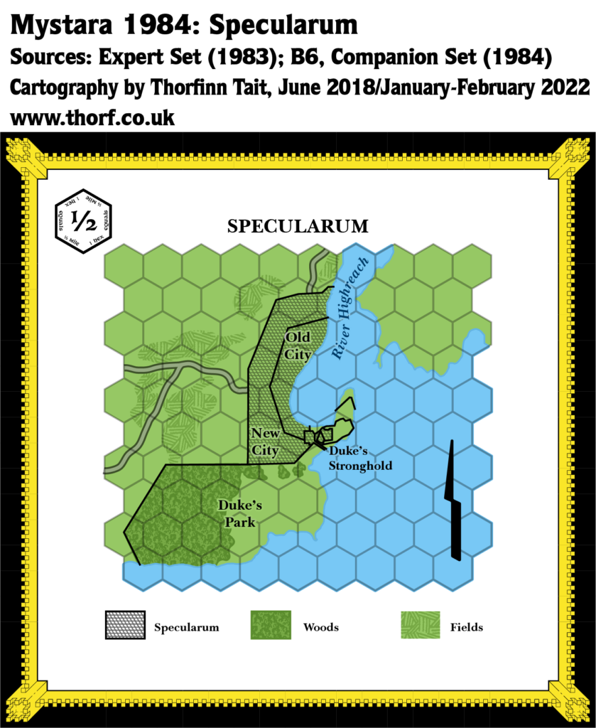
Most of the B series modules concentrated on dungeon adventures, and so by definition lacked overland maps beyond a very local scale. 1984’s B6 was an exception to this rule, as it included not just a city map for Specularum, but also a half mile per hex large scale map of its immediate surroundings.
The entire area depicted would fit inside a single 6 mile hex quite neatly, and the hex map’s Specularum doesn’t quite line up with the town map itself. But it still gives a nice view of an area central to the setting.
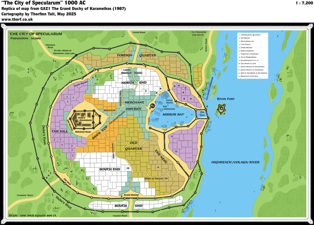
The town map for Specularum was completely redone a few years later, but this map never received a corresponding update.
Replica Map (February 2022)
Sources
- B6 The Veiled Society (1984) (PDF at DriveThruRPG)
- Map 1, page 2
Chronological Analysis
This is Map 16. It was published in March 1984. The updated version of this map has not yet been released. See also Appendix C for annual chronological snapshots of the area. For the full context of this map in Mystara’s publication history, see Let’s Map Mystara 1984.
The following lists are from the Let’s Map Mystara project. Additions are new features, introduced in this map. Revisions are changes to previously-introduced features. Hex Art & Fonts track design elements. Finally, Textual Additions are potential features found in the related text. In most cases, the Atlas adopts these textual additions into updated and chronological maps.
Additions
- Terrain — Duke’s Park south of Specularum.
- Trails & Roads —Two roads are shown leaving Specularum, going north and west. The western road splits into two almost immediately, with one continuing west while the other veers southwest.
Revisions
- Coastline — the coastline around Specularum is rather different from that shown on previous maps in X1 and the Expert Sets.
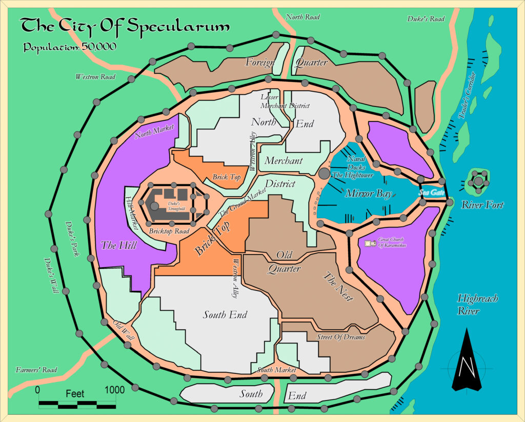
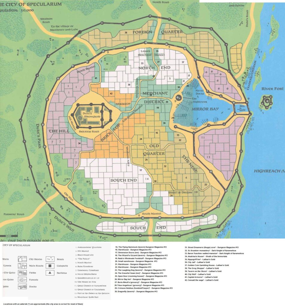
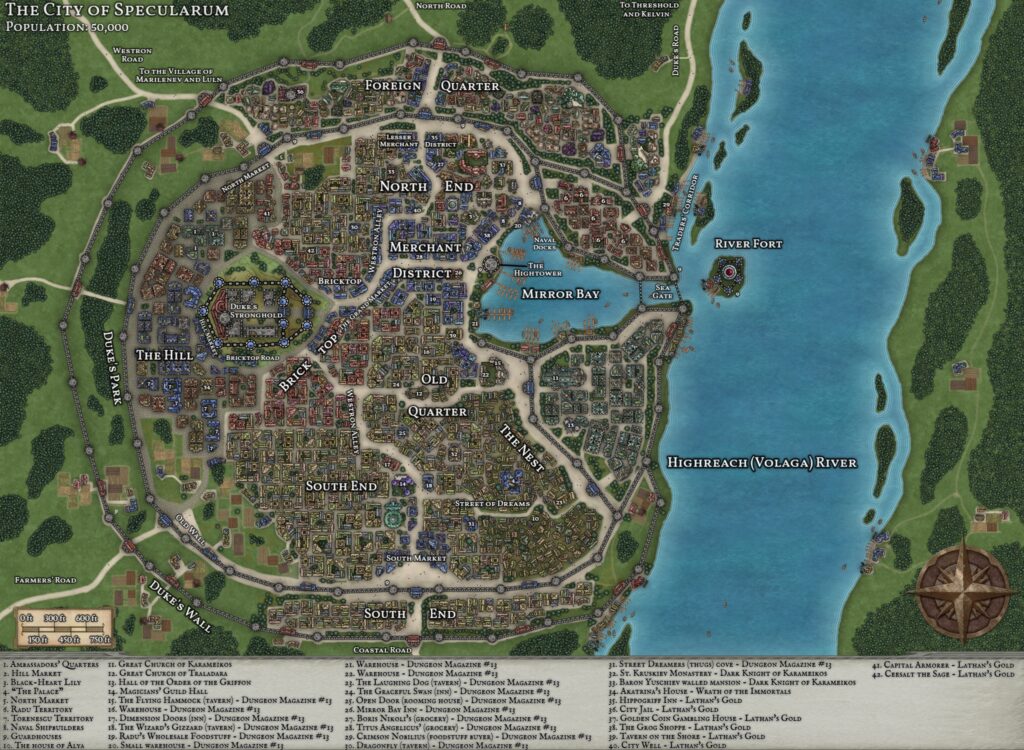
- Settlements — Specularum is shown in some detail, although it doesn’t really match up very well with the even more detailed town map also provided in B6.
Hex Art & Fonts
- Fonts — Baskerville.
- New Symbols — Compass Rose (stylised lightning bolt), Fields (cross-hatched lines), Woods (treetop-like texture inside irregular shape), Urban Area (a diagonal grid of small diamonds), City Walls (solid thick black lines).

Textual Additions (B6 1984)
- Dominions — the Estate of Marilenev, which was marked on both Expert Set Karameikos maps attached to a castle symbol, is here said to be “a holding that surrounds the city”. (p. 2)
- Rulers — Duke Stefan Karameikos the Third is once again stated to be the ruler of Karameikos.
- Settlements — lots of details about Specularum. Its population of 5,000 plus 500 soldiers is restated here. It is also re-confirmed as being a port on the coast, while “a large river east of the city allows ships to carry cargos inland to other towns”. (p. 2)
Analysis
This is a nice little addition to Karameikos, although it’s a little too large scale to be that useful for this project.
Join in the Discussion at The Piazza
Come and join in the discussion about this map at The Piazza, where I am holding a “read through” of the Let’s Map Mystara project.

