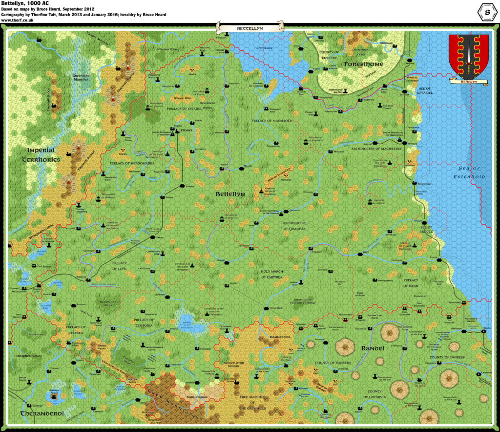
Bettellyn, 8 miles per hex
It’s a kingdom of zealots. Mostly.
The Holy Realm covers an area close to 186,000 square miles […]. Its capital, Citadel, sits in the Northeast and is home to 325,000 people. Overall, more than 2.1 million Bettellyners live in a land of lush farmland, light forests, and gentle hills. Wide rivers meander eastward across the country, toward the Sea of Esterhold.
from Bruce Heard’s The Alphatian Province of Bettellyn
Map (January 2016)

Sources
- Dawn of the Emperors (1989) (PDF at DriveThruRPG)
- Bruce Heard’s Alphatia (2012-2013)
- Bettellyn, 8 mile per hex map by Bruce Heard (2012)
Notes
As with all his 8 mile per hex maps of Alphatia, Bruce Heard added a great deal of detail and character to the region when converting from 24 miles per hex. The Atlas considers Bruce’s map to be the definitive source for this region.
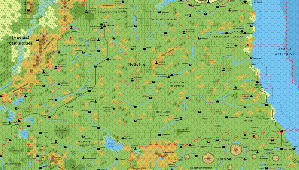
I extended the western edge of the map slightly from Bruce’s original version to show as much of the as-yet-incomplete Imperial Territories as possible.
The river bifurcation I talked about on Theranderol’s map’s post occurs even more here. This time it doesn’t originate on the original 24 mile per hex map. I count two rivers in Bettellyn as well as one in neighbouring Randel that split into two before reaching the coast. Perhaps this is how the Alphatians like their rivers to be.
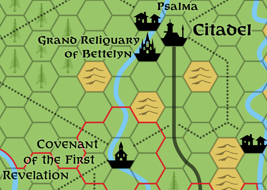
Two new symbols were drawn for this map: a church and a cathedral.


5 November 2019 @ 12:34 pm
I know i’m late but these maps you are doing are fantastic. I seem to not be able to get the high res version of this map am i doing something wrong?
20 November 2019 @ 8:35 pm
The link may have been broken. I updated the article and it seems to be working again now. Sorry about that!