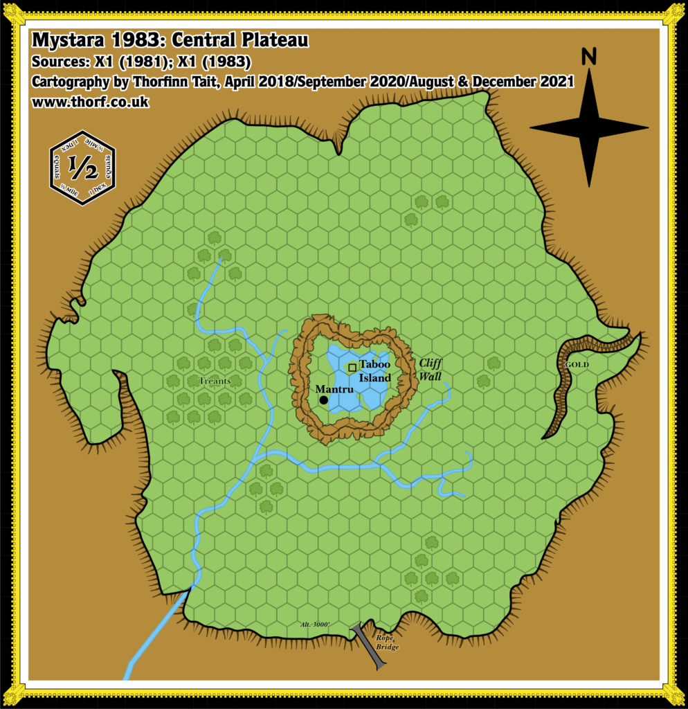
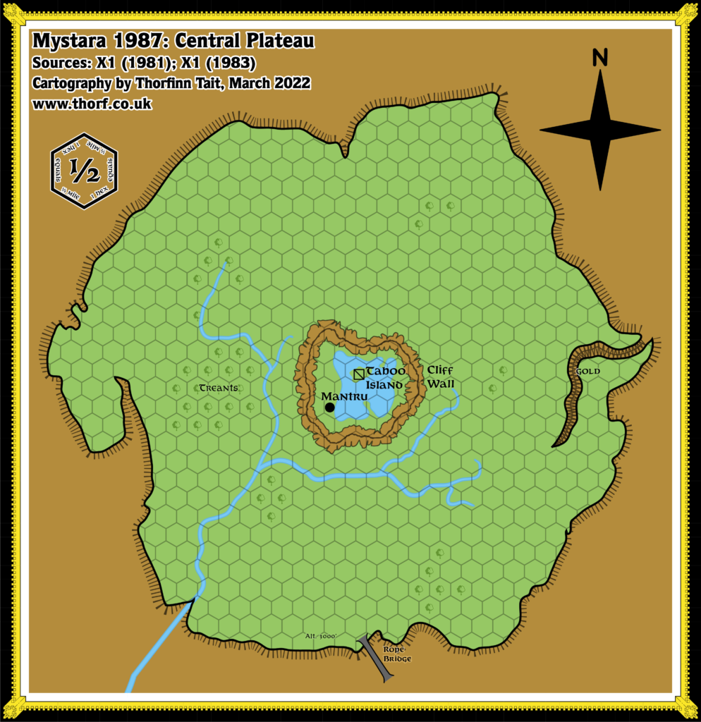
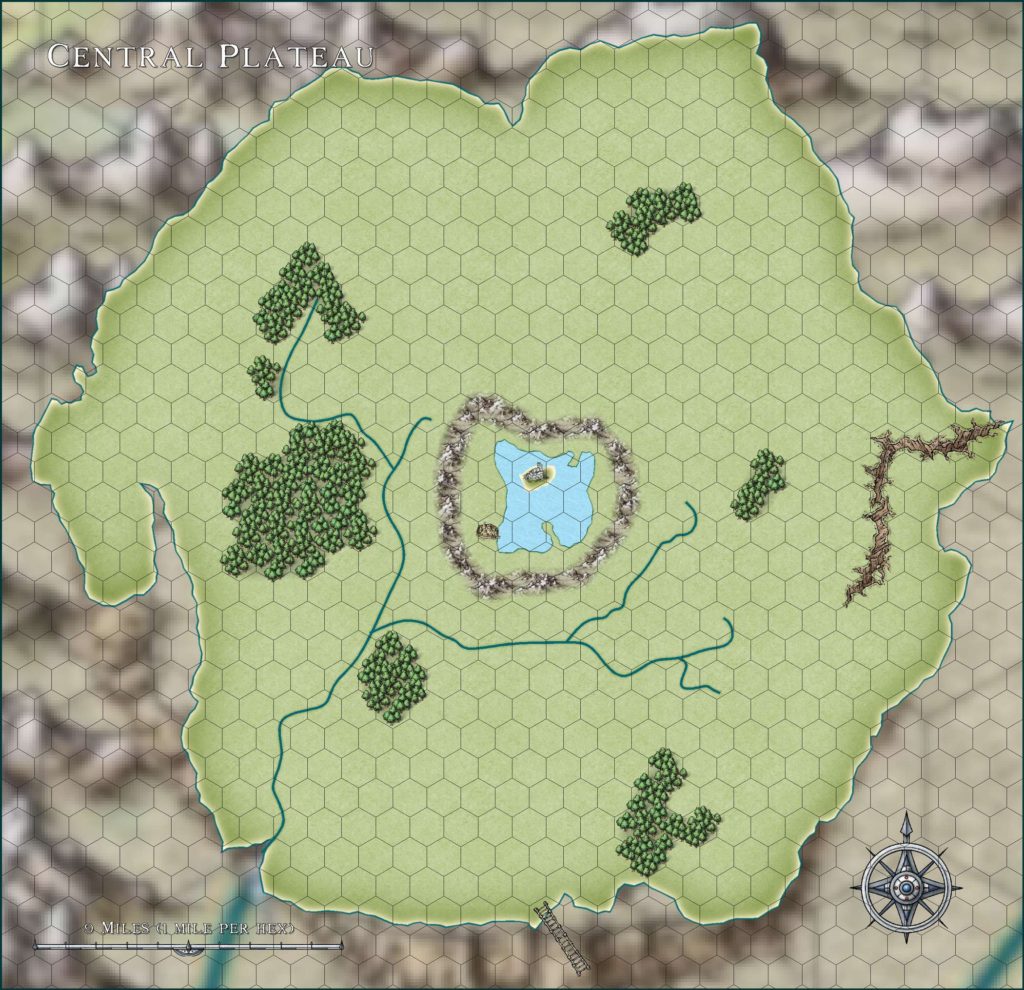
Central Plateau, 0.5 miles per hex (1981)
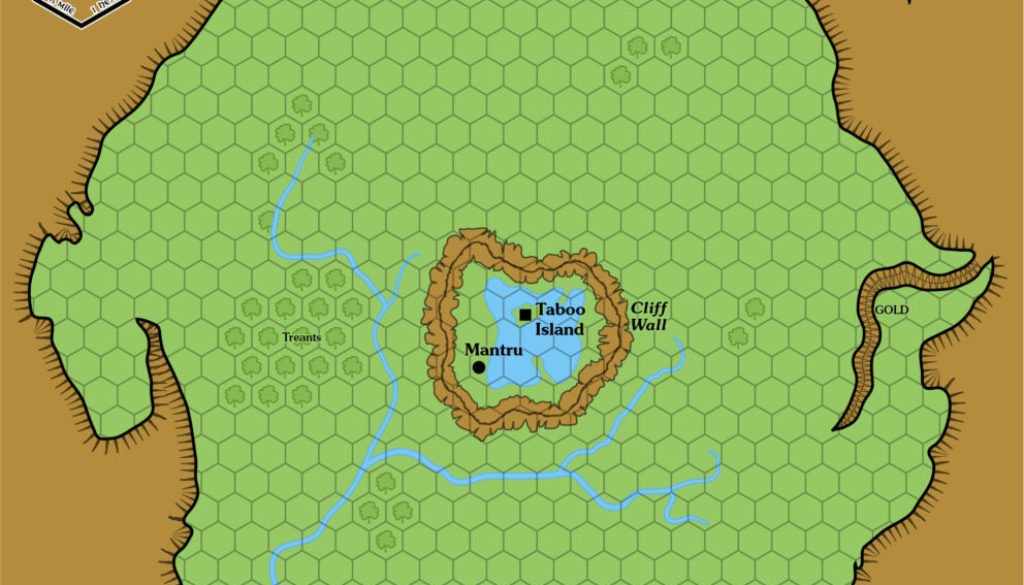
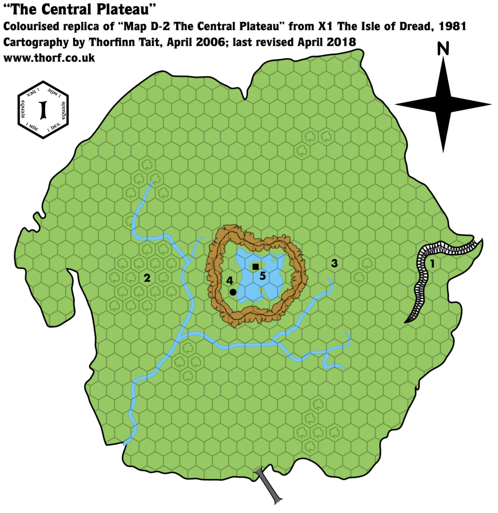
This map shows the Isle of Dread’s Central Plateau as it existed in 1981, including all available details from X1 The Isle of Dread’s other maps and text.
It shares the same scale problem as the larger isle, and I have found that a reinterpretation from the listed 1 mile per hex to a smaller 0.5 miles per hex solves problems of consistency between the two maps.
Chronological Map (May 2021)
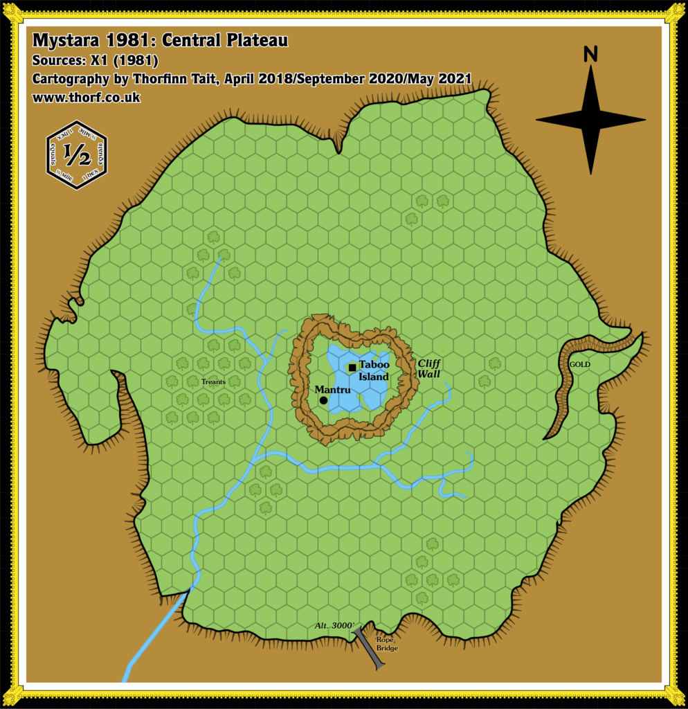
This map is part of the Mystara 1981 series of chronological maps. It is an updated map, incorporating all available sources and made internally consistent with other maps in its series. But it only uses sources published in or before 1981.
For more information, see Appendix C: Cartographic Chronology.
Sources
- X1 The Isle of Dread (1981) (PDF at DriveThruRPG)
- Expert Rulebook (1981) (PDF at DriveThruRPG)
Revisions
For detailed notes, see the posts for each individual source map at the links above.
- Hex Art — the symbols from the Expert Rulebook’s Legend have been switched in.
References
- Let’s Map Mystara 1981 II — the original project thread for this map
- Let’s Map Mystara Together discussion thread at The Piazza (link leads to this map’s post)
- The Sea of Dread and the Thanegioth Archipelago at the Vaults of Pandius
Thanks to:
Lance Duncan, Happierlarry, David Tauriainen
Join in the Discussion at The Piazza
Come and join in the discussion about this map at The Piazza, where I am holding a “read through” of the Let’s Map Mystara project.

