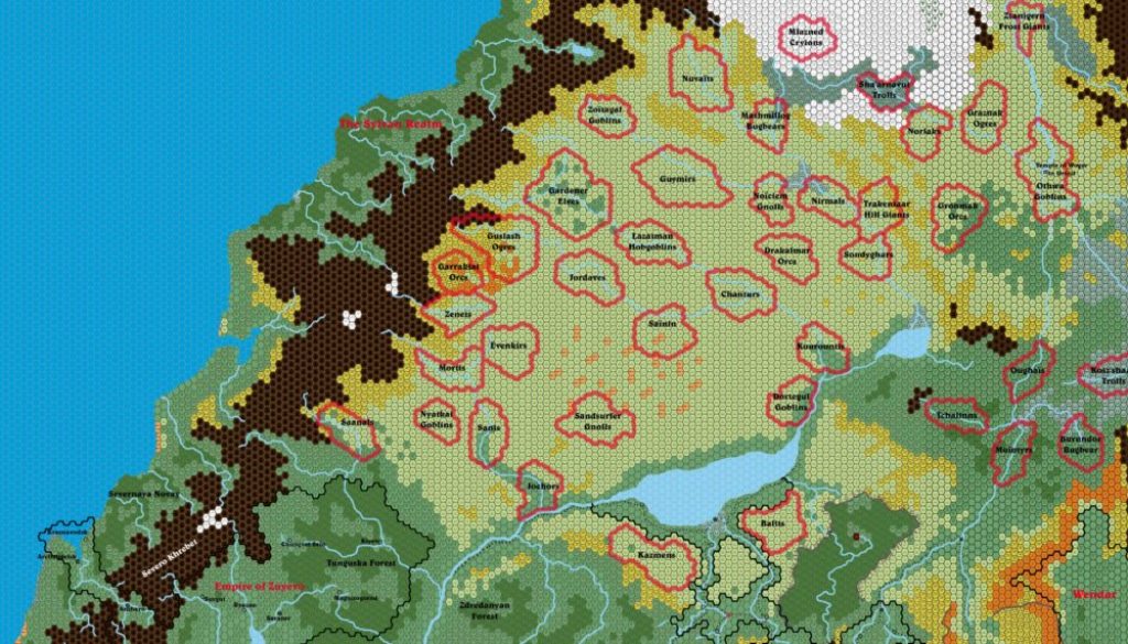
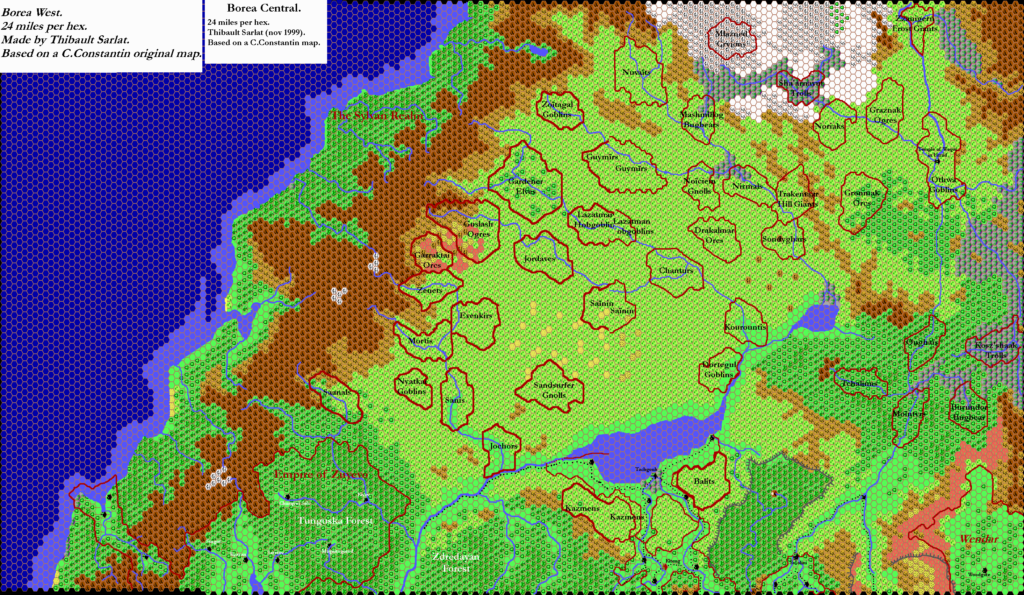
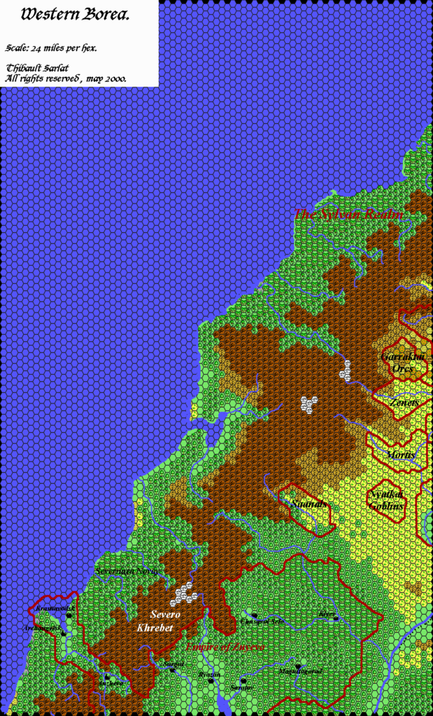
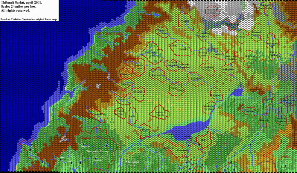
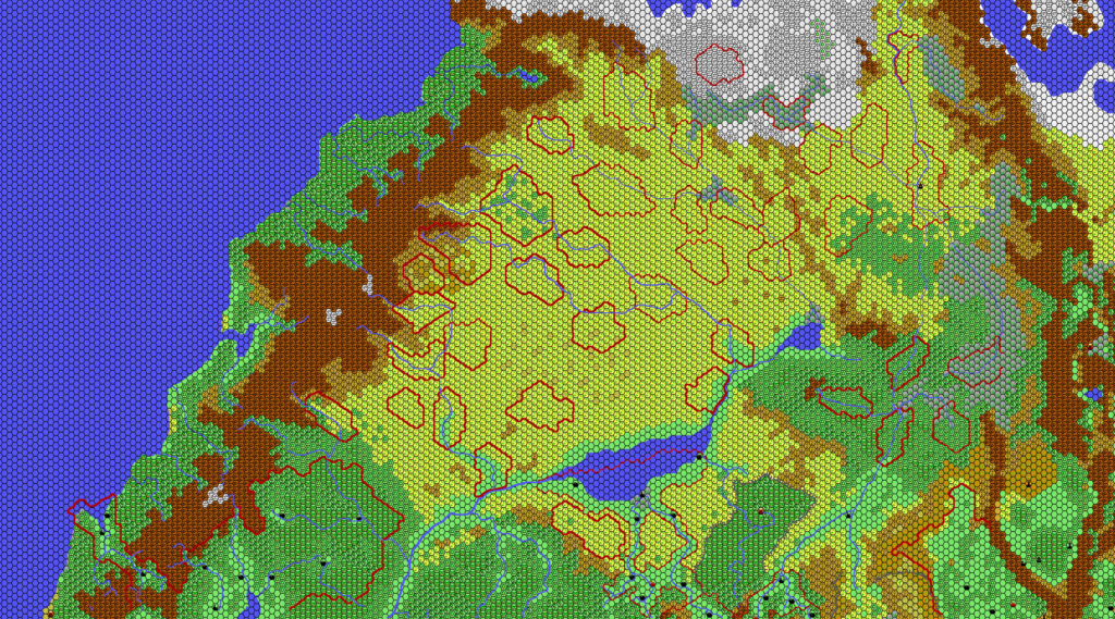
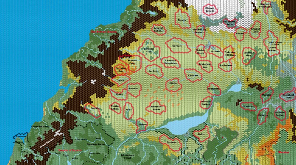
Christian’s Borea, 24 miles per hex
The last of Christian’s major maps from 1999 was this treatment of Northern Brun. It covers the whole area to the north of his previous three 24 mile per hex Brun maps, encompassing the area of Borea in the east and the Sylvan Realm on the west coast.
The treatment of nations is rather different from other areas, with a whole host of tribal territories marked rather than civilised nations. The area covered is truly vast, and yet not quite as vast as it may seem when map projections are taken into account.
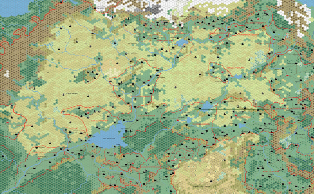
As with his other Brun maps, this map would remain highly influential for many years afterwards. Thibault Sarlat reprised it in his world-spanning 24 mile per hex maps, as did Andrea Francolini, and Francesco Defferrari some years later. Each successive mapper of course put his own stamp on the terrain, but Christian’s work is nonetheless still visible beneath it all.
Fan-made Map by Christian Constantin (c. September 1999)
This is an original map created by one of Mystara’s excellent fan cartographers. For more information on the cartographer, including a gallery of all their maps, see also Appendix M: Mappers of Mystara.
Sources
- Companion Rules Set (1984) (PDF at DriveThruRPG)
- Master Rules Set (1985) (PDF at DriveThruRPG)
- Hollow World Campaign Set (1990) (PDF at DriveThruRPG)
Fan Sources
- Christian’s Hule, 24 miles per hex
- Christian’s South Central Brun, 24 miles per hex
- Christian’s Western Brun, 24 miles per hex
References
- All of Christian’s maps at the Atlas of Mystara
- Christian’s entry in Appendix M: Mappers of Mystara (upcoming)
- Christian’s author page at the Vaults of Pandius
Chronological Analysis
This is a fan-made map. It was published around September 1999. The updated Atlas version of this map is not yet available. See also Appendix C for annual chronological snapshots of the area. For the full context of this map in Mystara’s publication history, see the upcoming Let’s Map Mystara 1999.
The following lists are from the Let’s Map Mystara project. Additions are new features, introduced in this map. Revisions are changes to previously-introduced features. Hex Art & Fonts track design elements. Finally, Textual Additions are potential features found in the related text. In most cases, the Atlas adopts these textual additions into updated and chronological maps.
Coming Soon

