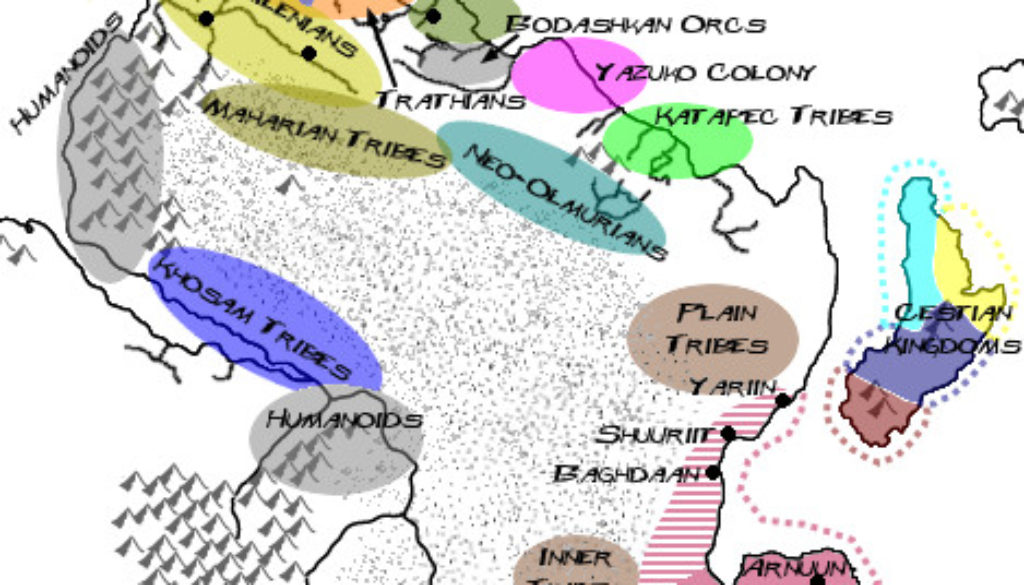
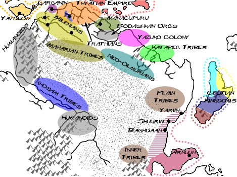
Christian’s Davania, 127 BC-465 AC
Christian’s last contribution to Mystara to date followed on the heels of his Northeastern Davania map: the Illustrated Timeline of “Arykkia,” Sub-Continent of Davania. He created a series of six maps to go with the histories.
The fifth map brought the region much closer to the modern age, with Thyatis appearing for the first time. It details the major settlements up to the demise of the second Varellyan Empire.
Fan-made Map by Christian Constantin (March 2014)
This is an original map created by one of Mystara’s excellent fan cartographers. For more information on the cartographer, including a gallery of all their maps, see also Appendix M: Mappers of Mystara.
Sources
- Hollow World Campaign Set (1990) (PDF at DriveThruRPG)
- Outer World Planetary Map
Secondary Sources
References
- Illustrated Timeline of “Arykkia,” Sub-Continent of Davania discussion thread at The Piazza
- Christian’s entry in Appendix M: Mappers of Mystara
- Christian’s author page at the Vaults of Pandius
Chronological Analysis
This is a fan-made map. It was published in 2014. The updated Atlas version of this map is not yet available. See also Appendix C for annual chronological snapshots of the area. For the full context of this map in Mystara’s publication history, see the upcoming Let’s Map Mystara 2014. (Please note that it may be some time before the project reaches this point.)
The following lists are from the Let’s Map Mystara project. Additions are new features, introduced in this map. Revisions are changes to previously-introduced features. Hex Art & Fonts track design elements. Finally, Textual Additions are potential features found in the related text. In most cases, the Atlas adopts these textual additions into updated and chronological maps.
Coming Soon


