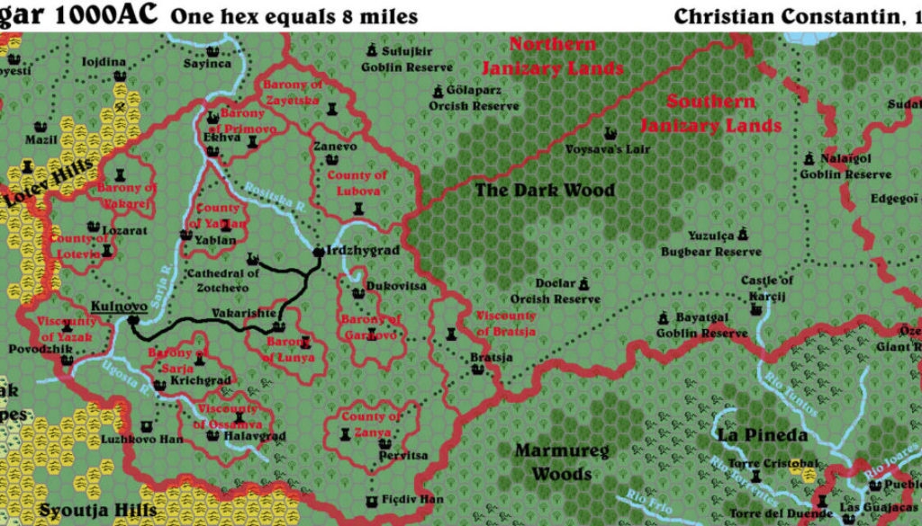
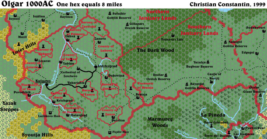
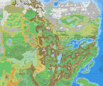
Christian’s Olgar, 8 miles per hex
After posting the Hule region’s base 24 mile per hex map, Christian began a series of articles about the different lands — with accompanying 8 mile per hex maps. Olgar was the first of these.
The map combines areas from X5’s map with Dragon 174’s Torréon, adding detail to Olgar and its neighbouring territories. Olgar is an ethnically Traladaran land, “converted” to (i.e. conquered by) Hule.
Christian’s mapping system was one of the prettiest of its time, rivalled only by Paul Holroyd’s maps in terms of how well it emulated the printed maps. But while Paul made his maps in Adobe Illustrator, Christian used Adobe Photoshop. While in theory Illustrator’s vectors were more scaleable, allowing for higher resolution output, in practice Paul never released the original vector files, so the end product was similar, and Christian’s maps stand alongside Paul’s rather nicely.
Fan-made Map by Christian Constantin (June 1999)
This is an original map created by one of Mystara’s excellent fan cartographers. For more information on the cartographer, including a gallery of all their maps, see also Appendix M: Mappers of Mystara.
Sources
- X5 Temple of Death (1983) (PDF at DriveThruRPG)
- The Voyage of the Princess Ark Part 21: The Savage Baronies, Dragon 174 (October 1991)
Secondary Sources
- Christian’s Hule, 24 miles per hex
- The Olgarian Levtja from the MML posted 25 June 1999 (Vaults of Pandius)
- Hulean Correspondence 5: the Olgarian Levtja from the MML posted 25 June 1999 (Vaults of Pandius)
References
- Christian’s entry in Appendix M: Mappers of Mystara
- Christian’s author page at the Vaults of Pandius
Chronological Analysis
This is a fan-made map. It was published in 1999. The updated Atlas version of this map is not yet available. See also Appendix C for annual chronological snapshots of the area. For the full context of this map in Mystara’s publication history, see the upcoming Let’s Map Mystara 1999. (Please note that it may be some time before the project reaches this point.)
The following lists are from the Let’s Map Mystara project. Additions are new features, introduced in this map. Revisions are changes to previously-introduced features. Hex Art & Fonts track design elements. Finally, Textual Additions are potential features found in the related text. In most cases, the Atlas adopts these textual additions into updated and chronological maps.
Coming Soon

