Christian’s Skothar, 72 miles per hex
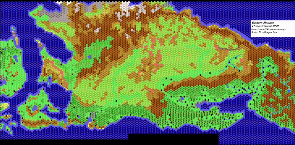
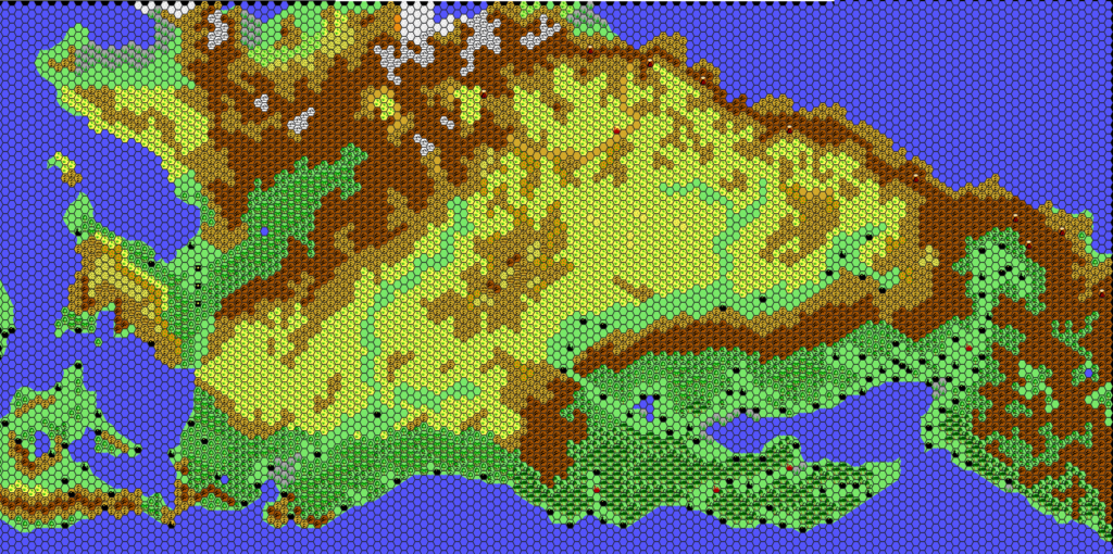
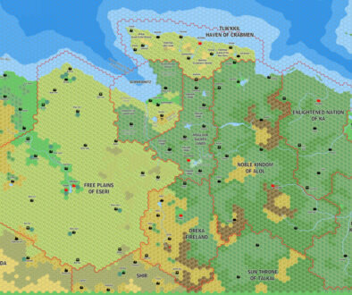
Christian Constantin’s Skothar map rivals Geoff Gander’s Davania in both scope and significance to the community. While it doesn’t show the whole continent, what it does show is entirely new; previously only small parts of Skothar’s western coast had appeared on maps.
The map has two apparent bases: the Hollow World Set Outer World Planetary Map, and Rolf Schoefnagel’s MOrient project map. Most of the labels stem from the latter, although the borders on Christian’s map are his own, and don’t entirely match.
It’s not entirely clear when Christian worked on this map, nor when he first posted it to the Internet. The earliest reference I have been able to find is on the Mystara Mailing List in September 1999, when Thibault asked for a copy. The implication is that it was already available before this date, but I have been unable to trace it further back.
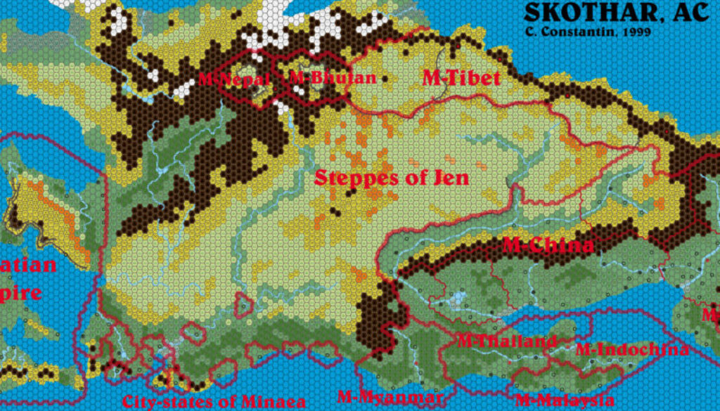
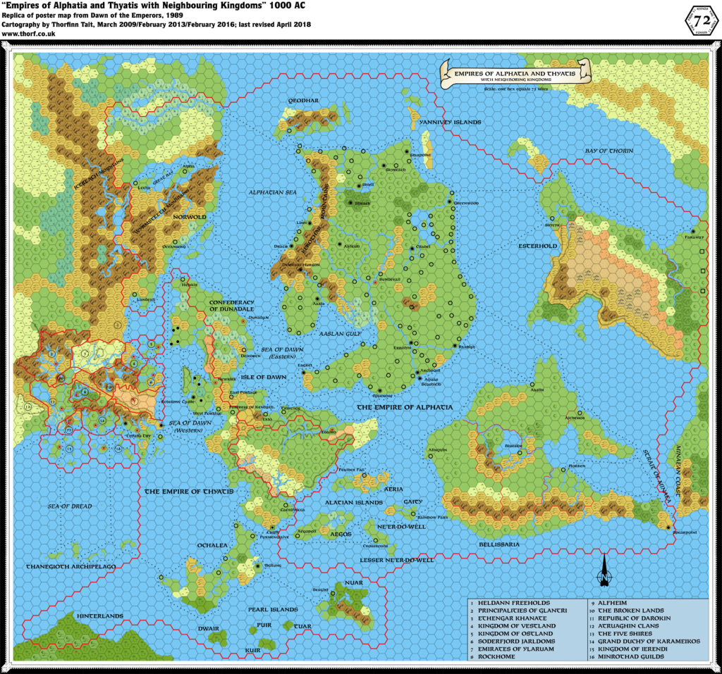
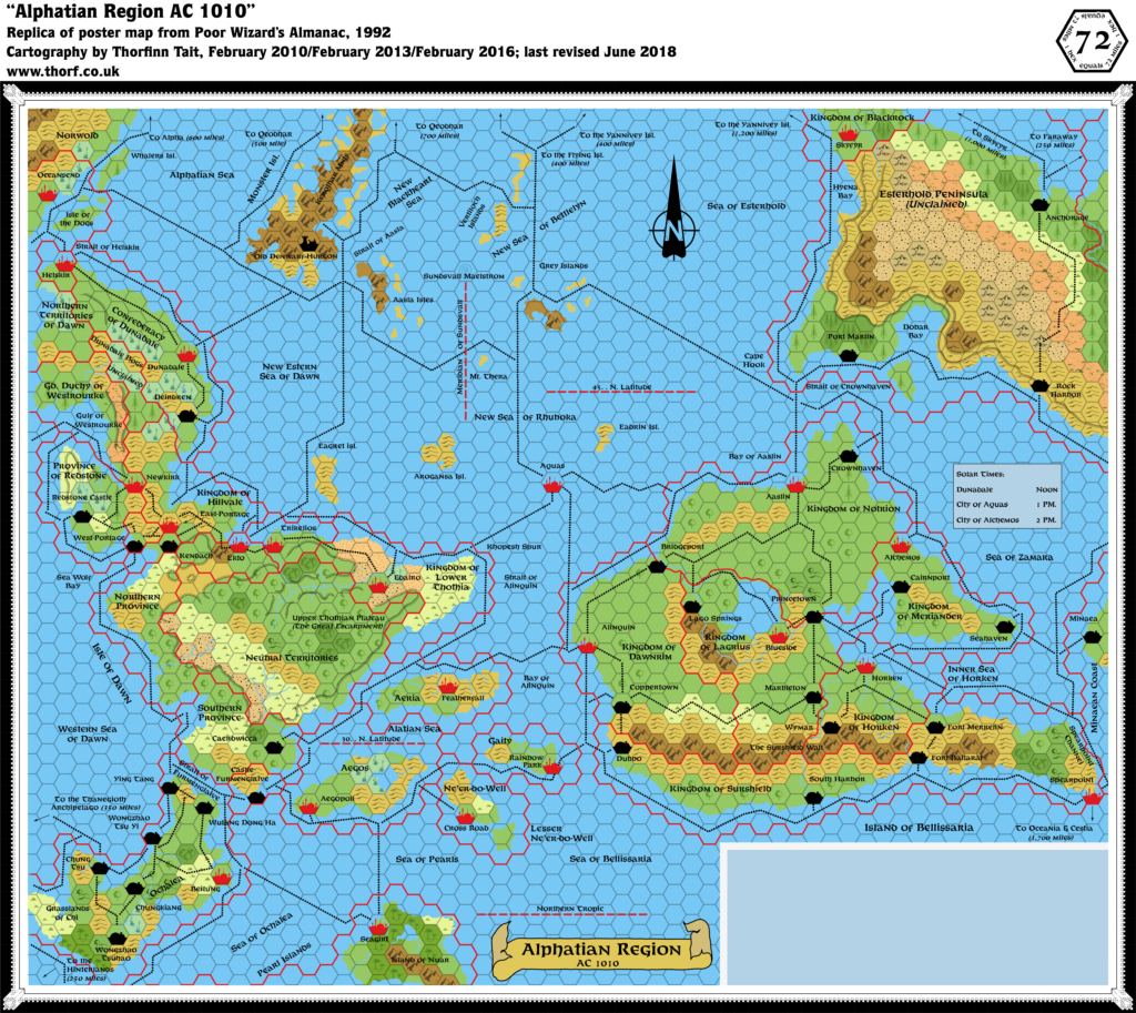
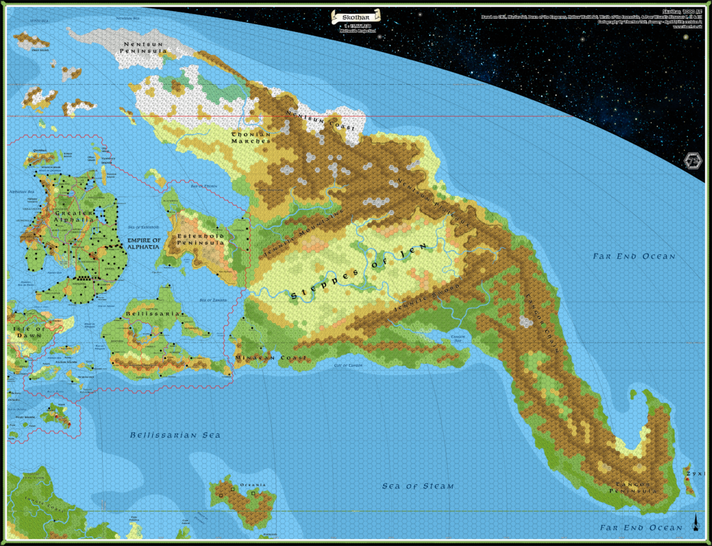
Finally, although Christian’s Skothar is an amazing achievement, it also suffers from one of the same problems as Geoff’s Davania: based as it is on the stretched Hollow World Set world map, it presents a version of Skothar that’s vastly out of scale with the rest of the world. This larger Skothar stuck, and has been reprised in numerous fan-made maps since — perhaps most notably Francesco Defferrari’s. However, the Atlas favours the original Master Set world map version.
Fan-made Map by Christian Constantin (September 1999)
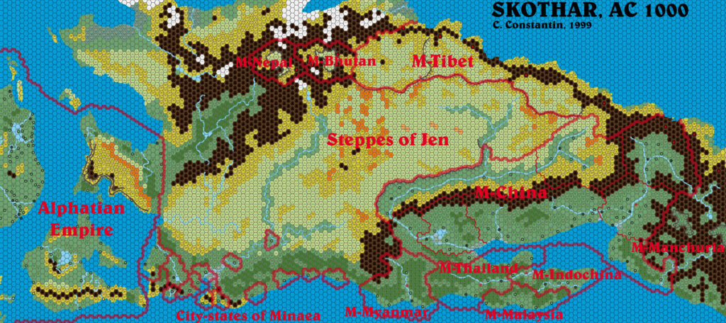
This is an original map created by one of Mystara’s excellent fan cartographers. For more information on the cartographer, including a gallery of all their maps, see also Appendix M: Mappers of Mystara.
Sources
- Dawn of the Emperors (1989) (PDF at DriveThruRPG)
- Poor Wizard’s Almanac III (1994)
References
- All of Christian’s maps at the Atlas of Mystara
- Christian’s entry in Appendix M: Mappers of Mystara (upcoming)
- Christian’s author page at the Vaults of Pandius
Chronological Analysis
This is a fan-made map. It was published in September 1999. The updated Atlas version of this map is Skothar, 72 miles per hex. See also Appendix C for annual chronological snapshots of the area. For the full context of this map in Mystara’s publication history, see the upcoming Let’s Map Mystara 1999. (Please note that it may be some time before the project reaches this point.)
The following lists are from the Let’s Map Mystara project. Additions are new features, introduced in this map. Revisions are changes to previously-introduced features. Hex Art & Fonts track design elements. Finally, Textual Additions are potential features found in the related text. In most cases, the Atlas adopts these textual additions into updated and chronological maps.
Coming Soon

17 June 2021 @ 9:28 pm
If i remember correctly, i think i extented the skothar map all the way to the zyxxl region
have i shared that with you Thorf ?
17 June 2021 @ 9:36 pm
I don’t think I have a map of yours with Zyxl, Thibault. I found an expanded version of this one, where you added a bit more of Tangor to the east. And of course most of the world at 24 miles per hex — an awesome feat!
Could there be more maps that you haven’t sent me yet? 😀
17 June 2021 @ 9:30 pm
i even converted most of it to 24 miles per hex
17 June 2021 @ 9:30 pm
i even converted most of it to 24 miles per hex