Companion Set Brun
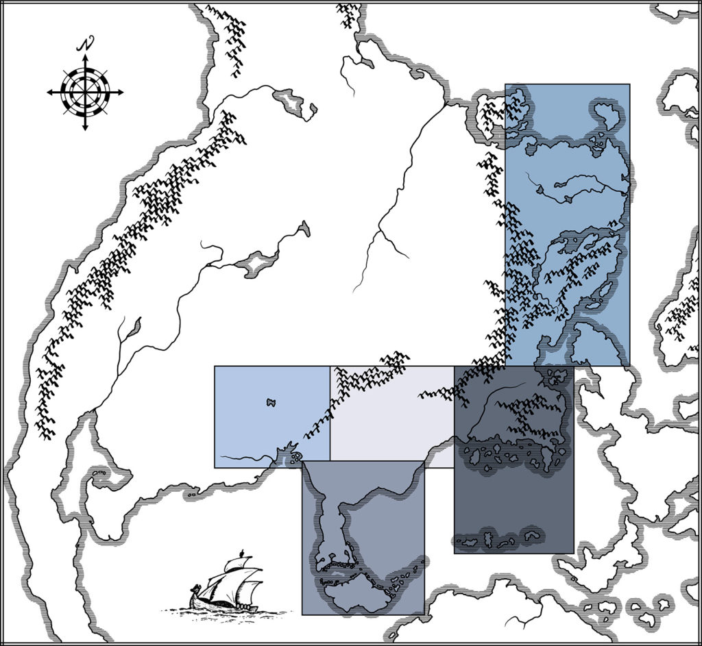
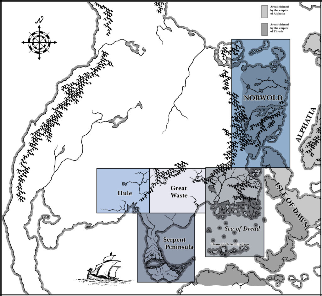
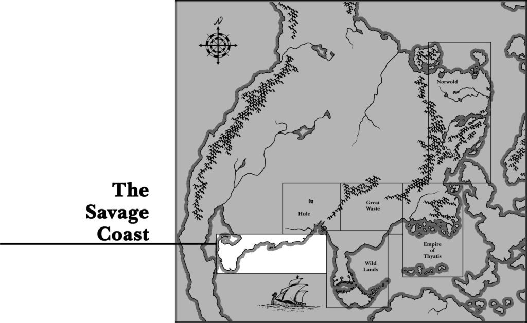
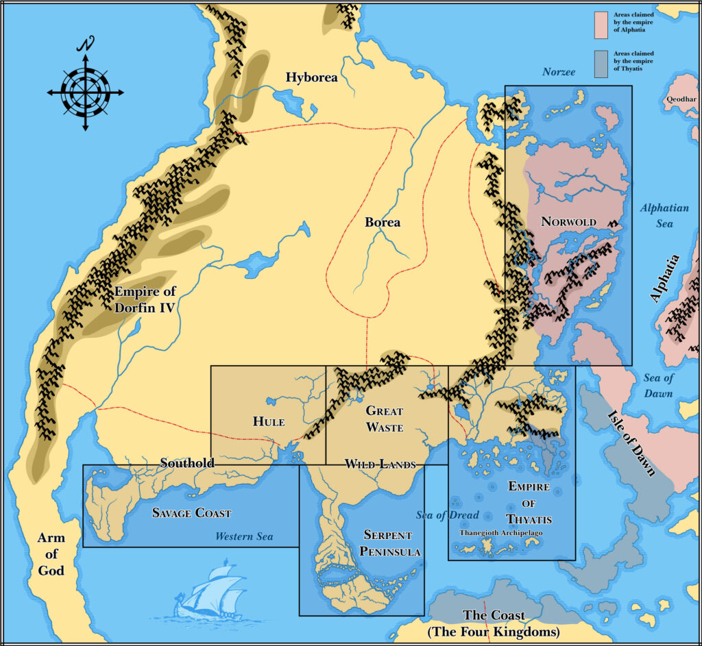
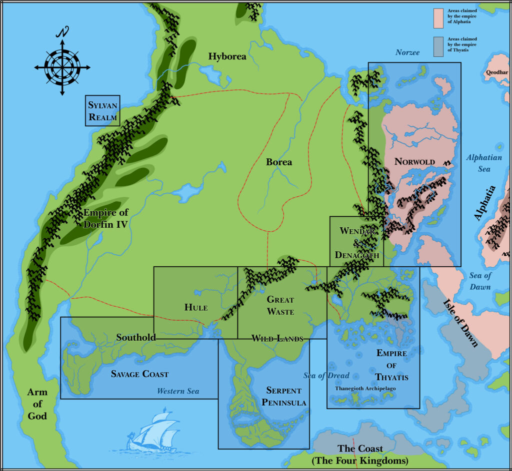
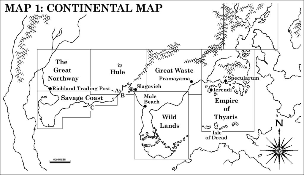
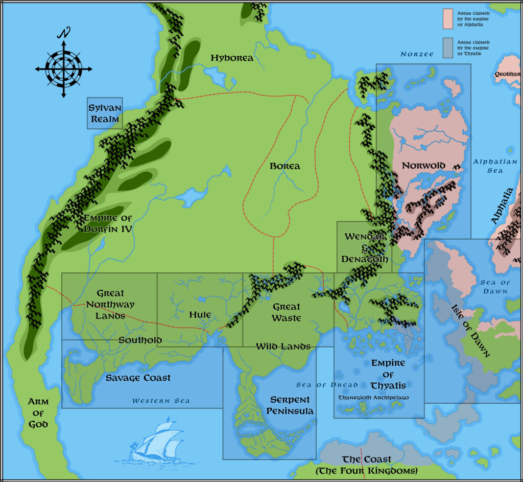
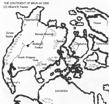
The first glimpse of the Known World’s continent came in the Companion Set, in June 1984. By the time, the world had already been established from the Known World area in the east through the Great Waste, the Serpent Peninsula, and Hule in the west. All of these are marked on the map. Norwold appeared in CM1, also in 1984 — likely around the same time as the Companion Set itself. There was no mention of the continent’s name at this point, however.
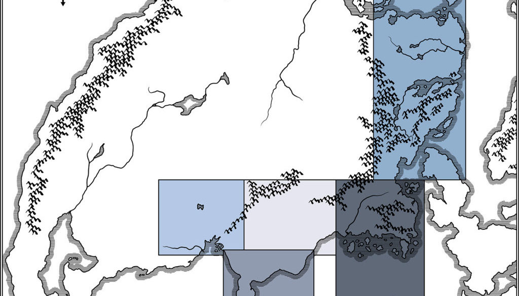
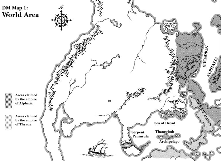
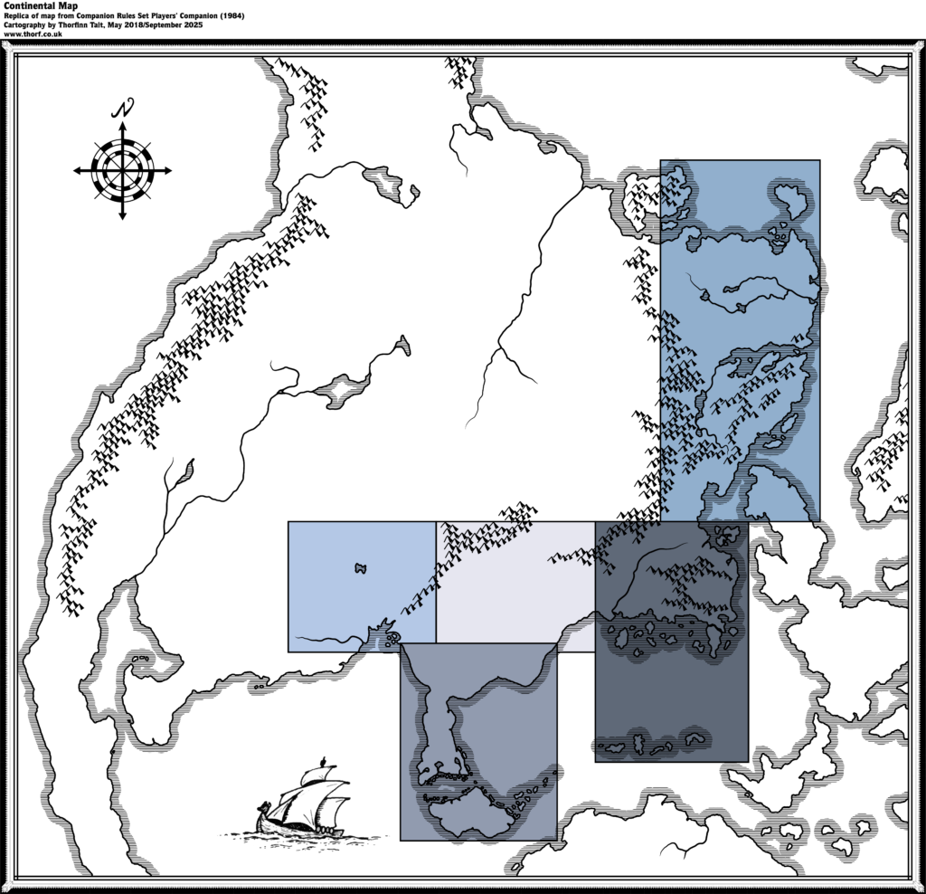
The Companion Set’s Brun map was printed at the very back of the Player’s Companion, split across two pages. This makes it difficult to assemble the map precisely. Thankfully, CM1 reprinted a smaller version on a single page, and this replica references that contiguous map to find the best join for the two parts.
Various later books reprinted this map, or an excerpt from it, adding additional regional boxes.
Replica Map (September 2025)
Sources
- Companion Rules Set (1984) (PDF at DriveThruRPG)
- Player’s Companion pages 32-33
References
- Updated Map: CM1 Brun post at Patreon
Chronological Analysis
This is Map 21. It was published in June 1984. The updated version of this map has not yet been released. See also Appendix C for annual chronological snapshots of the area. For the full context of this map in Mystara’s publication history, see Let’s Map Mystara 1984.
The following lists are from the Let’s Map Mystara project. Additions are new features, introduced in this map. Revisions are changes to previously-introduced features. Hex Art & Fonts track design elements. Finally, Textual Additions are potential features found in the related text. In most cases, the Atlas adopts these textual additions into updated and chronological maps.
Additions
- Coastline — everything outside the five coloured boxes is new at this point, and as yet unnamed. Most of Brun is laid down, along with most of the Isle of Dawn, Ochalea and the Pearl Islands, and parts of Alphatia, the Alatians, and the islands north of Alphatia. Finally, the tip of Davania is visible on the southern edge of the map.
- Islands — it’s worth noting the Pearl Islands in the southeast, because the two small southwestern-most islands do not appear on later maps.
- Lakes — two major lakes and five smaller lakes.
- Mountains — major mountain chains are all detailed, including the continuation of mountains shown on previous maps. The Black Mountains are shown to come to an end just north of the X4 map’s northern edge. The mountains north of X1’s map join with CM1’s Norwold and continue north all the way to the extreme northern coast.
- Rivers — a few major rivers.
- Seas — none named, but the extents of the Sea of Dread are finally clear. The Western Sea’s northern, eastern and western boundaries are also clear at this point.
Revisions
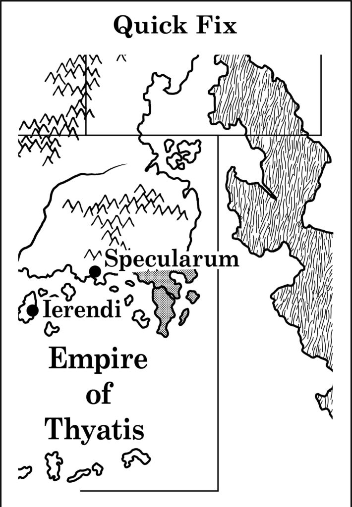
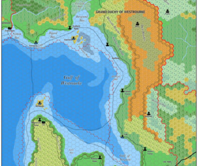
- Coastline — the coastline for existing maps is a reasonably close match, although the exact placement of X1’s landforms especially seems somewhat squashed.
Hex Art & Fonts
- Fonts — none.
- New Symbols — Compass Rose (two concentric circles, alternating black and white shading, set around a cross with four arrow points).
Textual Additions (Companion Set 1984)
- Dominions — County of Garette. “You may place the County of Garette in any of your structured Dominions, changing any material as needed”. Additionally, three knights have names that may indicate dominions, or at least place names: Francoise de Gras, Sir John of Celtar, and Sir Guy de Gax. (DMs Companion, p. 59) The island of Garald the Blue is “a rocky isle off the coast of Vestland”, with a castle sitting “high upon a rocky promontory on the southern end of the island”. (p. 60)
- Military — troop numbers for Karameikos as follows: Black Eagle Guard (200), Men of Kelven (80), Ducal Guard (500), Western Elves (100), Eastern Elves (250), Thyatian Mercenaries (800), Gnomes (150), Orcs (300), Bugbears (80), Goblins East (300), Goblins Northeast (300), Lycanthropes/Were-creatures (100). (DMs Companion, p. 62)
- Multiverse — the Multiverse is introduced for the first time. At this stage it consists of the Prime Plane, surrounded by the Ethereal Plane. Also within the Ethereal are the four Elemental Planes. The implication is that everything touches the Ethereal but not each other. All of this is known as the Inner Planes, and it is surrounded by the Astral Plane, which touches both the Ethereal and the Elemental Planes. Finally, the Outer Planes are in the Astral Plane. (p. 18 – 20)
- Planes — Prime Plane, Ethereal Plane, Elemental Planes of Air, Water, Fire and Earth, Astral Plane, Outer Planes. (p. 18 – 20) The Ethereal is noted as being filled with a grey fog-like material called ether, which condenses into sticky grey solid forms (ectoplasm). It’s parallel to the Prime Plane. The Elemental Planes are noted to consist of just their titular element, but in a form similar to the Prime, including planets and such. All four of the Elemental Planes have their own version of Mystara at their equivalent place, so that they all “overlap”. It’s also noted that some worlds lack one or more elemental equivalents, resulting in unbalanced worlds.
- Regions — Norwold is named here for the first time, referring readers to CM1 for more information. (DMs Companion, p. 64)
- Rivers — the river on which Specularum sits is called the River Highreach. Kelven (as it is spelled here) sits “at the intersection of 3 branches of the Highreach”. (DMs Companion, p. 61)
- Rulers — Count Sir James Essex is the ruler of the County of Garette. Other rulers listed: Sir Niles Count Douglass, Sir Mark Baron Acres. (DMs Companion, p. 59) Garald the Blue rules his pirate island. (p. 60) Stefan Karameikos is mentioned once again, this time as an Archduke. (p. 61)
- Scale — the scale of Expert Set (1983)’s Karameikos map (6 miles per hex) is noted here. (DMs Companion, p. 61)
Analysis
Although the fit with the hex maps isn’t perfect, in general it seems to be pretty good — especially when considering that this was done without access to the modern technology and software we now take for granted.
Even though this map appeared as early as 1984, it actually remains the most authoritative official source for many of these areas even today. It’s worth remembering this, because it implies that in fitting it in with the existing maps up to this point we should take care to preserve it as best we can.
I’ve distilled the planar information into a symbolic map of the multiverse at this stage of Mystara’s development.
Join in the Discussion at The Piazza
Come and join in the discussion about this map at The Piazza, where I am holding a “read through” of the Let’s Map Mystara project.

