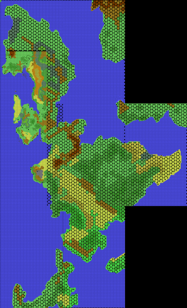
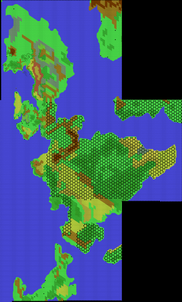
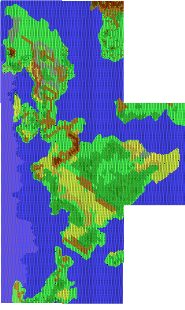
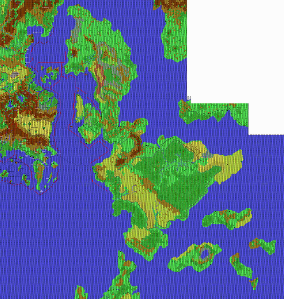
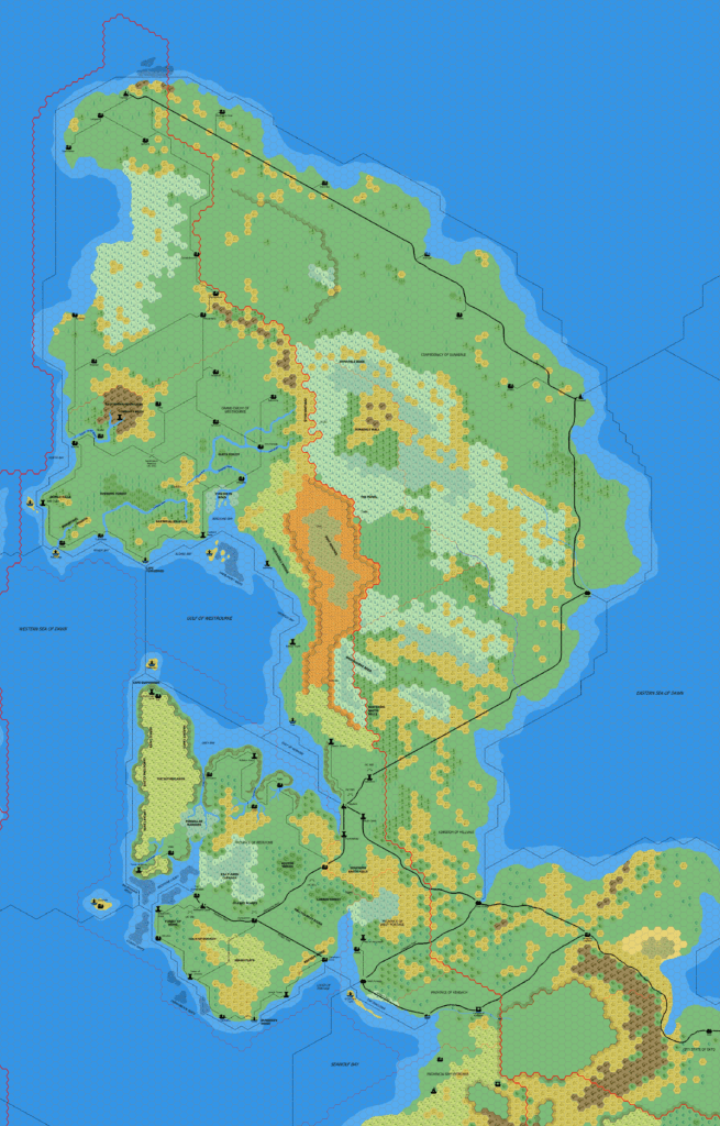
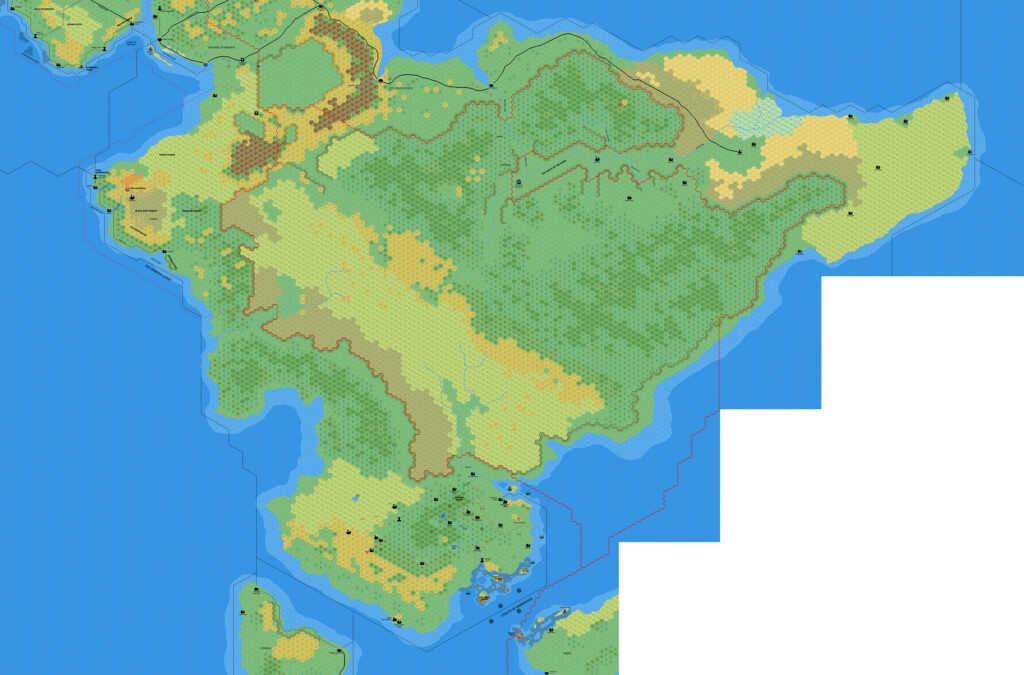
Cthulhudrew’s Eastern Shadow Coast, 8 miles per hex
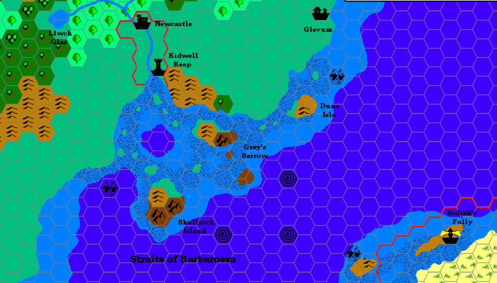
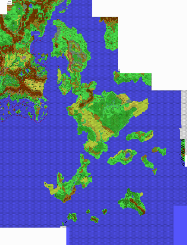
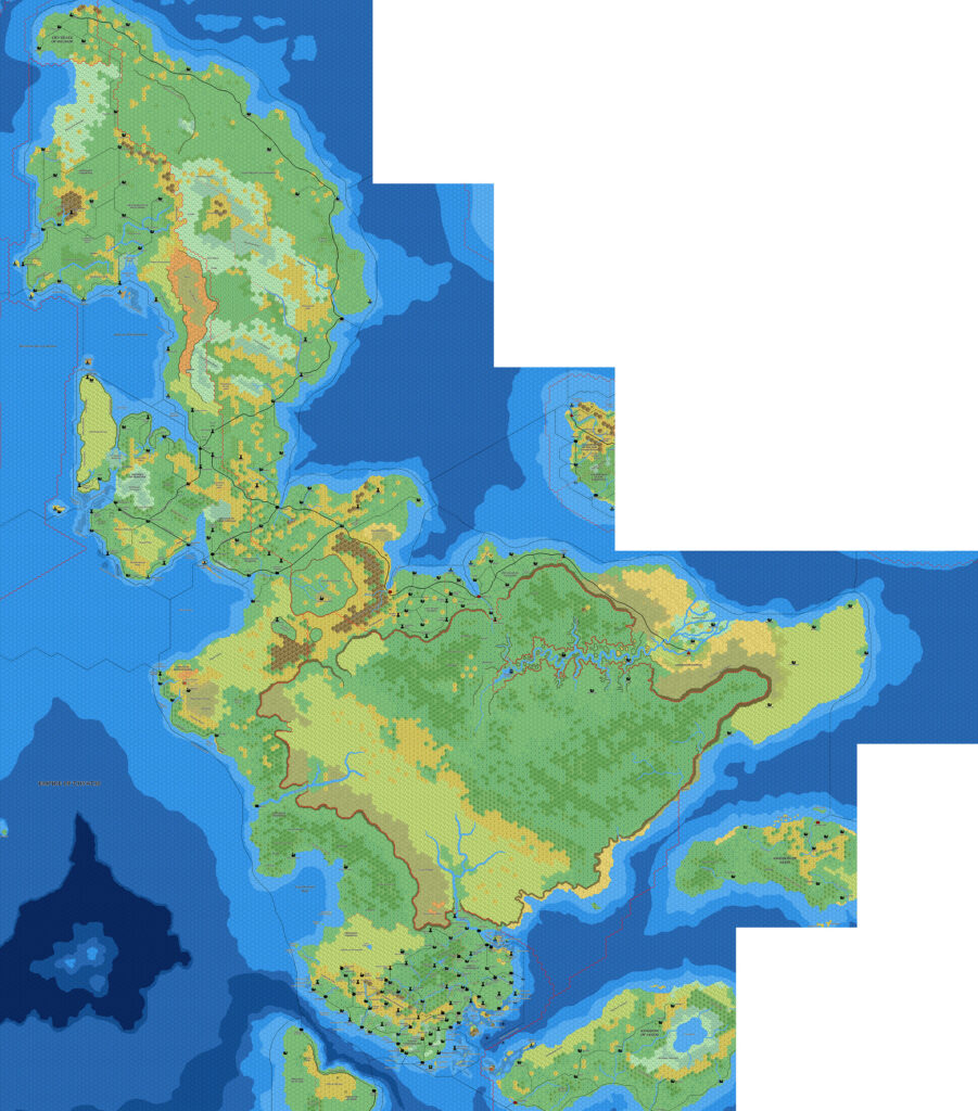
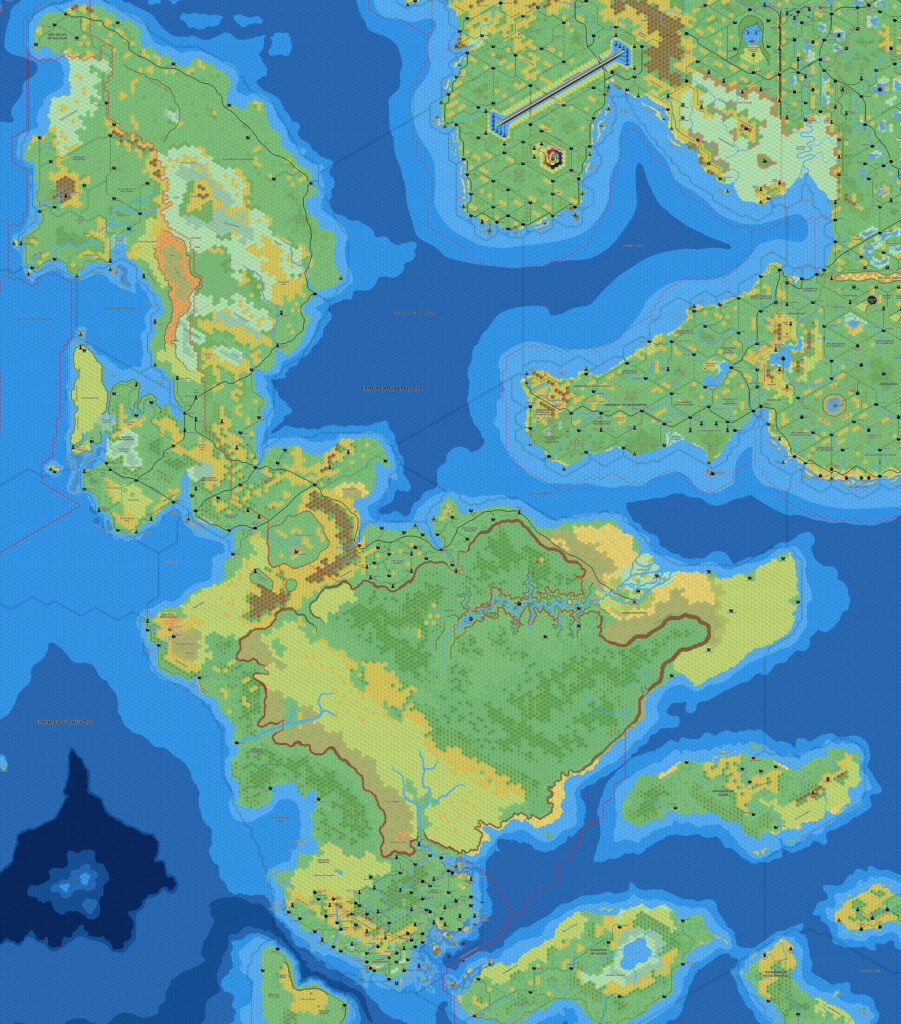
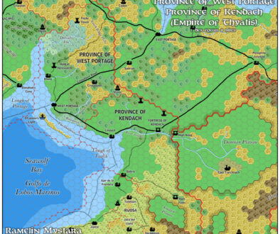
Andrew’s contribution to the Tome of Mystara in 2000 was a Princess Ark-inspired development of the southeastern Isle of Dawn, which he named “Twilight of the Dawn”. The first chapter, in Tome volume 3, dealt with the Straits of Barbarossa and the region just south of Caerdwicca, adding some detail to the region beyond what the original 24 mile per hex map in Dawn of the Emperors provided.
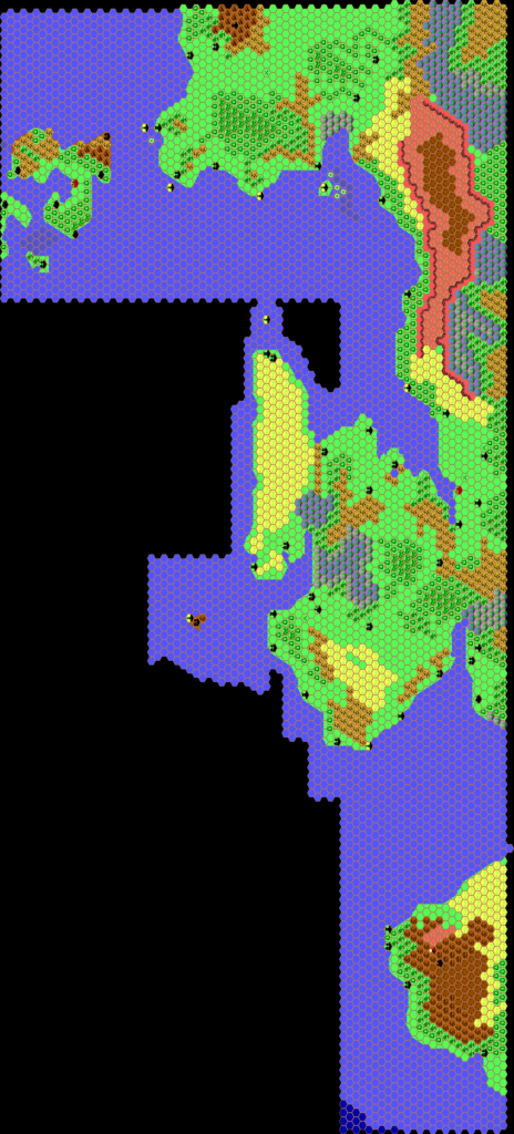
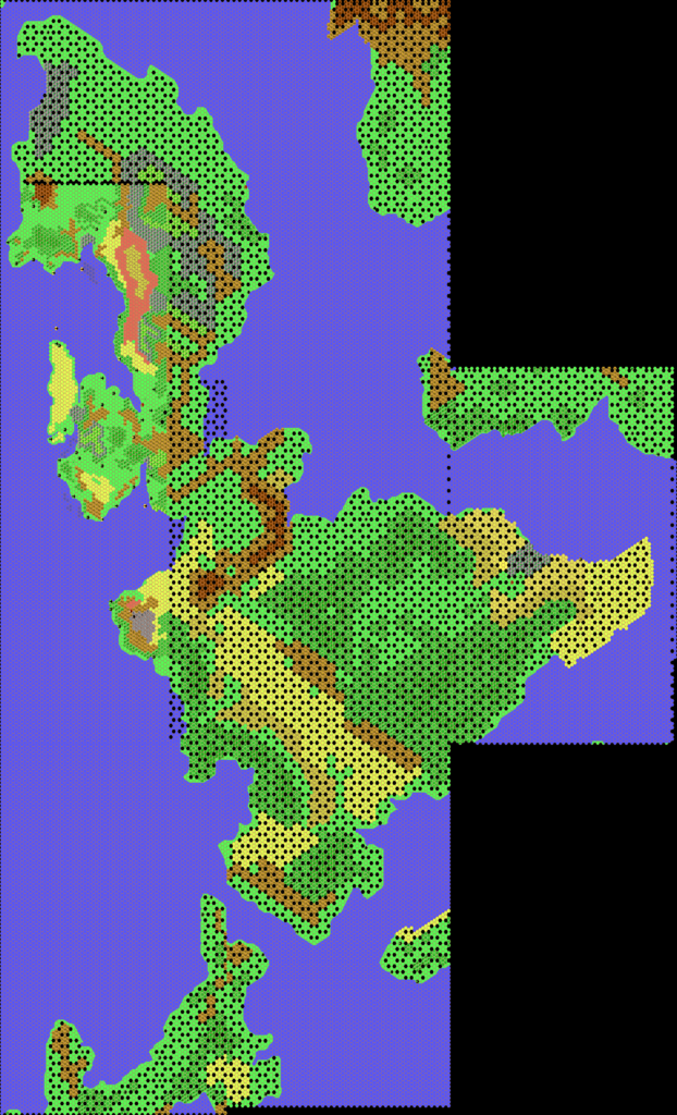
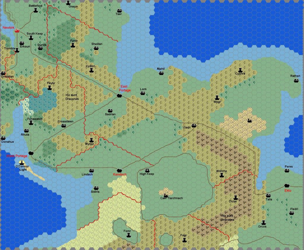
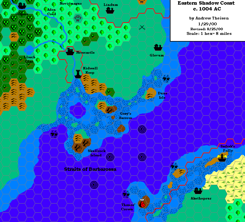
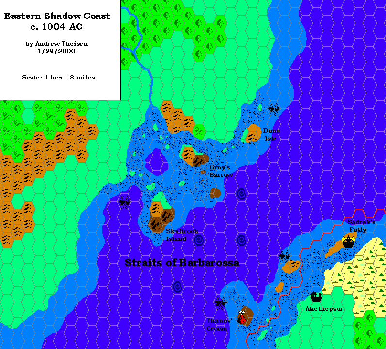
There were two versions of this map, with the original (the bottom map below) appearing in the Tome, follower by a revised version (the top map below) on Andrew’s own Twilight of the Dawn web site later in the year. While the first version mostly concentrated on the straits themselves, the revised version added labels and settlements to the adjacent land on the Isle of Dawn.
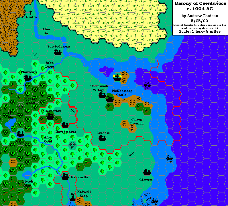
The revised map joins up with Andrew’s Caerdwicca map, and indeed both are marked with the same exact date. These two maps are also significant in that they are the first examples of Andrew’s revised hex mapping system, with more regular shaped hexes and the plains colour toned down to a less poppy green.
Fan-made Map by Andrew Theisen (August 2000)
Fan-made Map by Andrew Theisen (January 2000)
This is an original map created by one of Mystara’s excellent fan cartographers. For more information on the cartographer, including a gallery of all their maps, see also Appendix M: Mappers of Mystara.
Sources
- Dawn of the Emperors (1989) (PDF at DriveThruRPG)
Secondary Sources
- Twilight of the Dawn, by Andrew Theisen (Tome of Mystara Volume 3)
References
- Andrew’s entry in Appendix M: Mappers of Mystara
- Andrew’s author page at the Vaults of Pandius
Chronological Analysis
This is a fan-made map. It was first published in January 2000, and extensively revised in August 2000. The updated Atlas version of this map is not yet available. See also Appendix C for annual chronological snapshots of the area. For the full context of this map in Mystara’s publication history, see the upcoming Let’s Map Mystara 2000.
The following lists are from the Let’s Map Mystara project. Additions are new features, introduced in this map. Revisions are changes to previously-introduced features. Hex Art & Fonts track design elements. Finally, Textual Additions are potential features found in the related text. In most cases, the Atlas adopts these textual additions into updated and chronological maps.
Coming Soon

