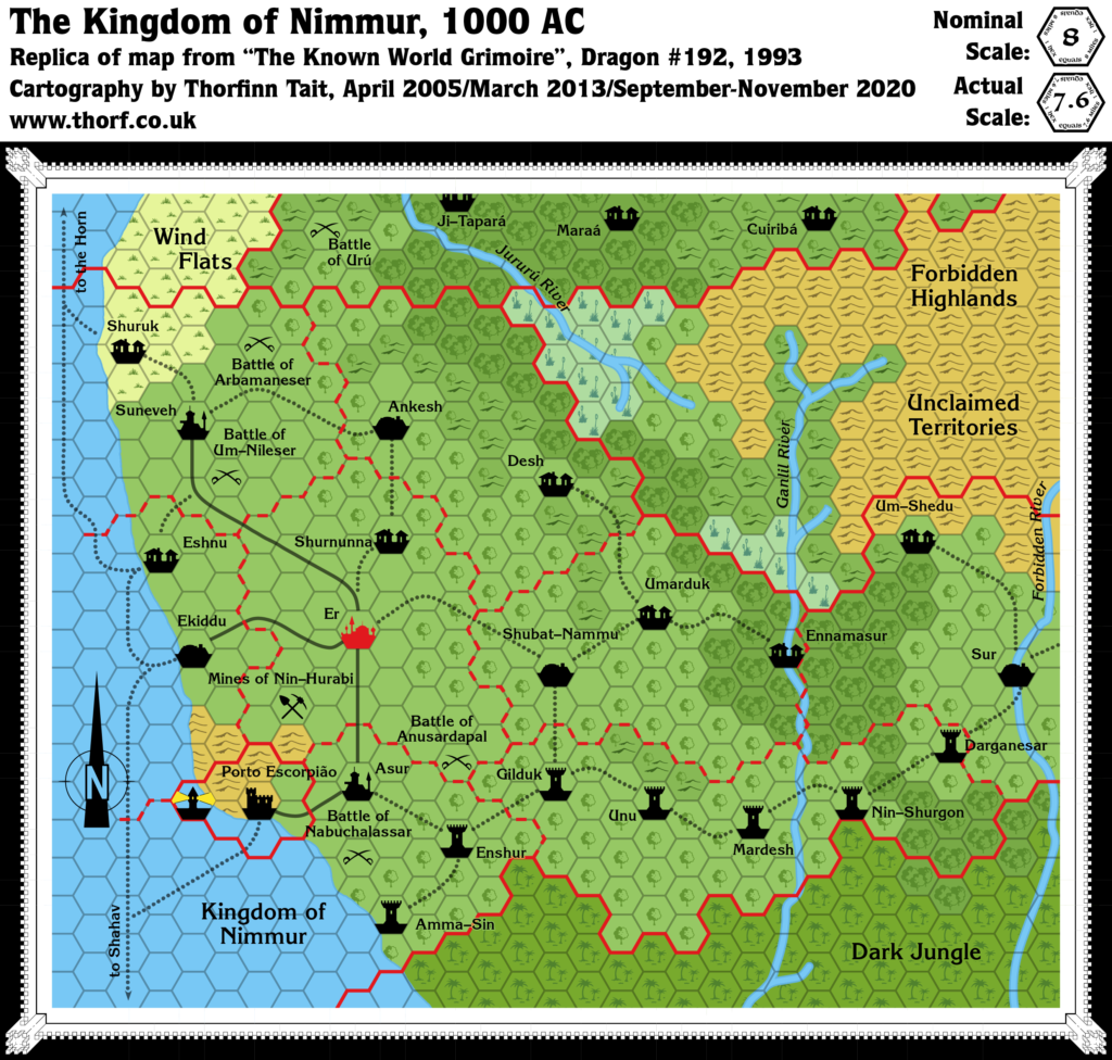
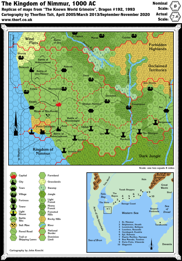
Dragon 192 Nimmur, 8 miles per hex
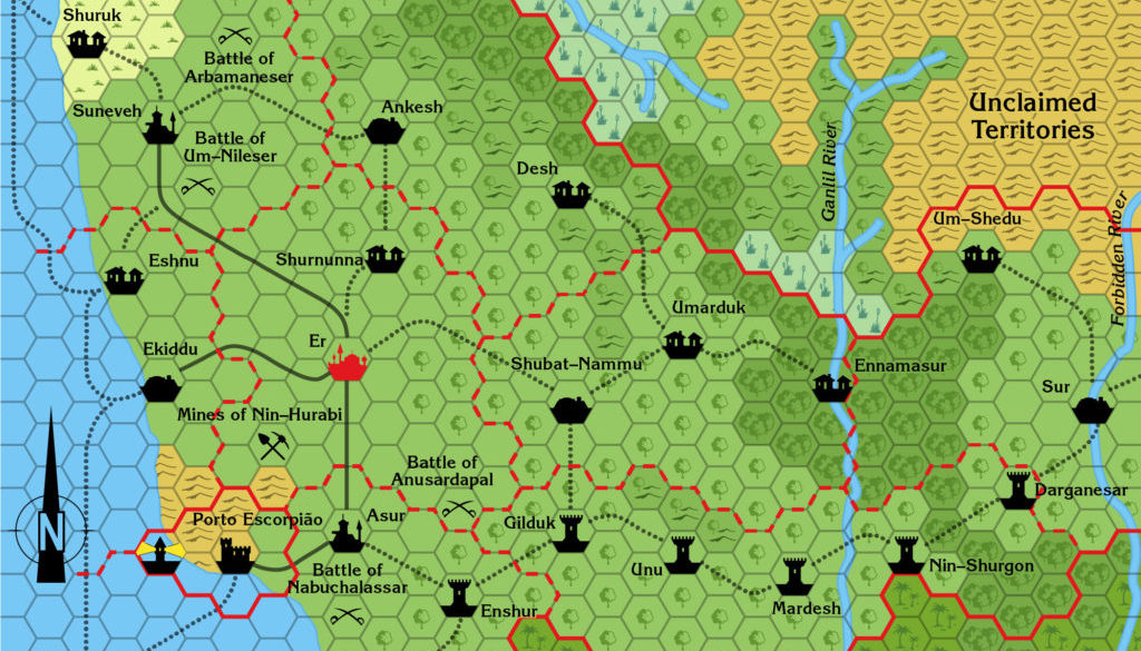
The second Known World Grimoire expansion of the Savage Coast brought us to the westernmost tip of the Orc’s Head Peninsula, and the rather tragic Kingdom of Nimmur, a nation of winged minotaurs usurped and completely replaced by manscorpions.
Nimmur sits south of Jibarú, on the other side of the peninsula from Herath. With this map, all that remained to map of the Savage Coast was Western Herath and the Dark Jungle — the northwestern edge of which appeared on this map.
Replica Map (November 2020)


Sources
- The Known World Grimoire: The sting and the sun, Dragon 192 (April 1993)
- Page 42 map (Cartography by John Knecht)
Chronological Analysis
This is Map 230. It was published in April 1993. The updated version of this map has not yet been released. See also Appendix C for annual chronological snapshots of the area. For the full context of this map in Mystara’s publication history, see the upcoming Let’s Map Mystara 1993.
The following lists are from the Let’s Map Mystara project. Additions are new features, introduced in this map. Revisions are changes to previously-introduced features. Hex Art & Fonts track design elements. Finally, Textual Additions are potential features found in the related text. In most cases, the Atlas adopts these textual additions into updated and chronological maps.
Under Construction! Please check back again soon for updates.
Additions
Revisions
Hex Art & Fonts
- Fonts — Korinna throughout.


