Dungeon 6 Brun
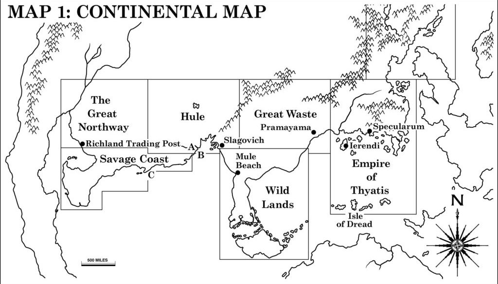
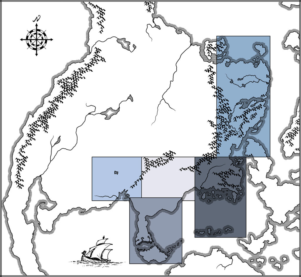
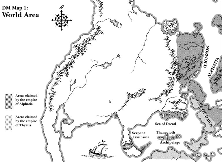
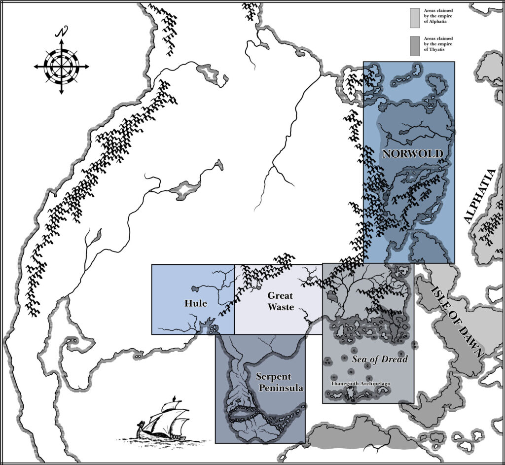
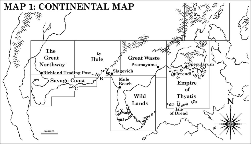
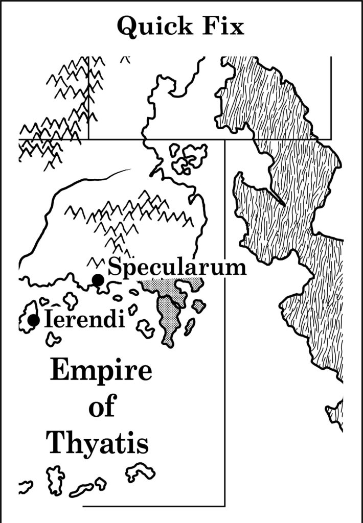
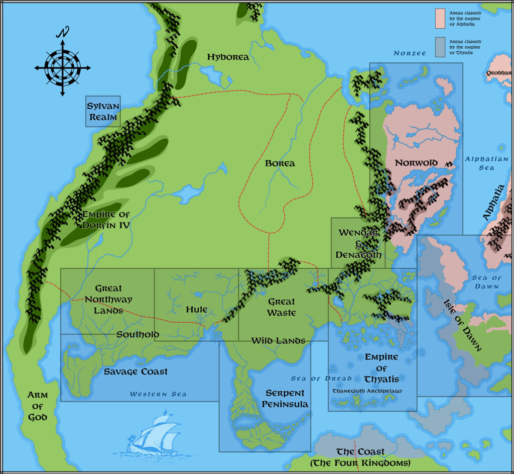
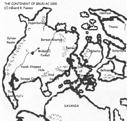
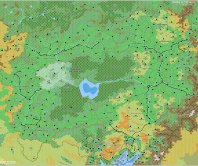
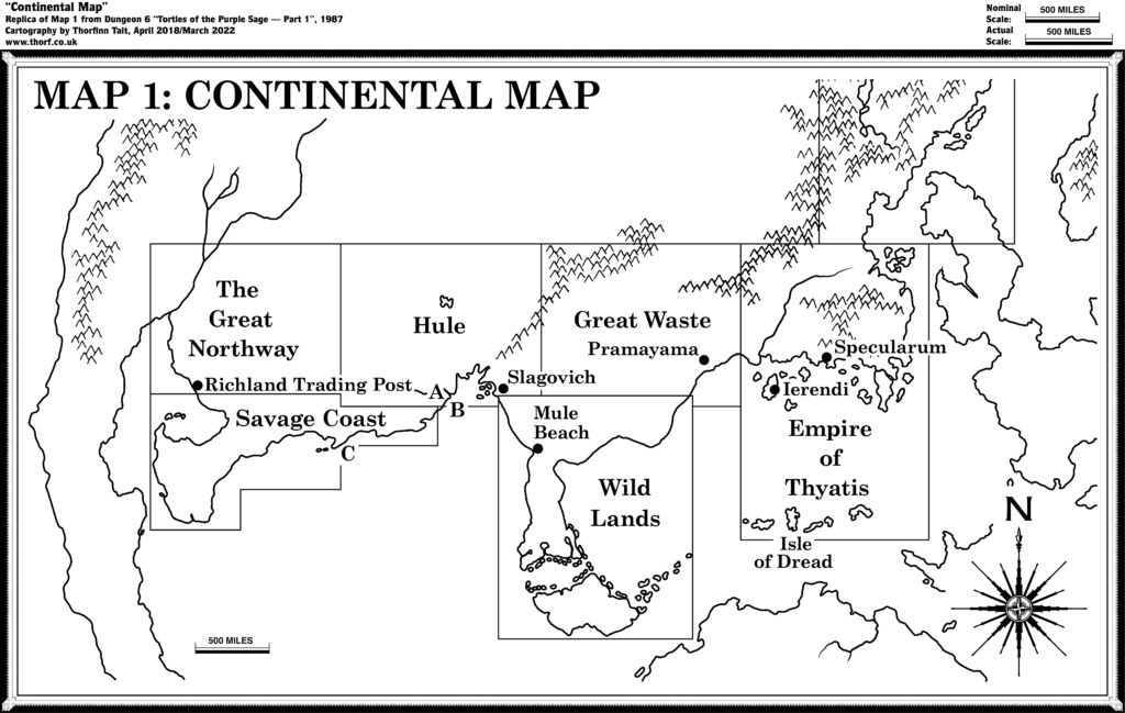
As well as the Great Northway Lands hex map, Dungeon Issue #6 also included a continental map showing the placement of that map along with those from X1, X4, X5, X6, X9, and CM1 on the continent. It’s a cropped copy of a similar map that appeared in X9, but of course with a box added. There’s not much else of note here.
Replica Map (March 2018)
Sources
- Tortles of the Purple Sage — Part 1, Dungeon #6 (July 1987)
- Map 1: Continental Map, page 42
Chronological Analysis
This is Map 59. It was published in July 1987. The updated version of this map has not yet been released. See also Appendix C for annual chronological snapshots of the area. For the full context of this map in Mystara’s publication history, see Let’s Map Mystara 1987.
The following lists are from the Let’s Map Mystara project. Additions are new features, introduced in this map. Revisions are changes to previously-introduced features. Hex Art & Fonts track design elements. Finally, Textual Additions are potential features found in the related text. In most cases, the Atlas adopts these textual additions into updated and chronological maps.
Additions
- Regions — The Great Northway is named here for the first time. It is the land north of the Savage Coast and west of Hule, encompassing the northwest corner of what will later be known as Yalu Bay. It includes the river mouth and the last stretch of the major river that flows from central Brun.
- Scale — This is the first time a continental map of Brun has shown a scale. It’s not perfect compared to the hex map-derived scale, but quite close.
- Settlements — Richland Trading Post is the only settlement shown in the new Great Northway region.
Revisions
- Regions — Hule’s box has been expanded west to meet the new Great Northway region. However, Hule’s hex map does not in fact reach as far west as this.
- Settlements — Previous versions of this map didn’t show any settlements, so the addition of key settlements here is new for this scale. However, while it makes perfect sense for the map as part of an adventure, where such highlighting performs a much-needed function, I don’t feel that it is useful outside that context. I will therefore continue without marking any settlements on this map, leaving that for other maps of a larger scale.
Hex Art & Fonts
- Fonts — Century Schoolbook, with Helvetica for the scale.

Join in the Discussion at The Piazza
Come and join in the discussion about this map at The Piazza, where I am holding a “read through” of the Let’s Map Mystara project.

