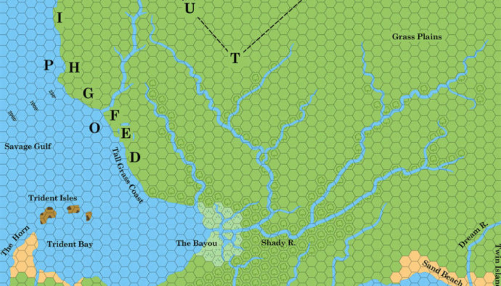
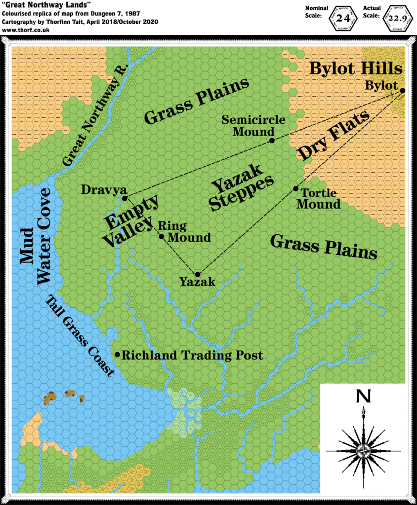
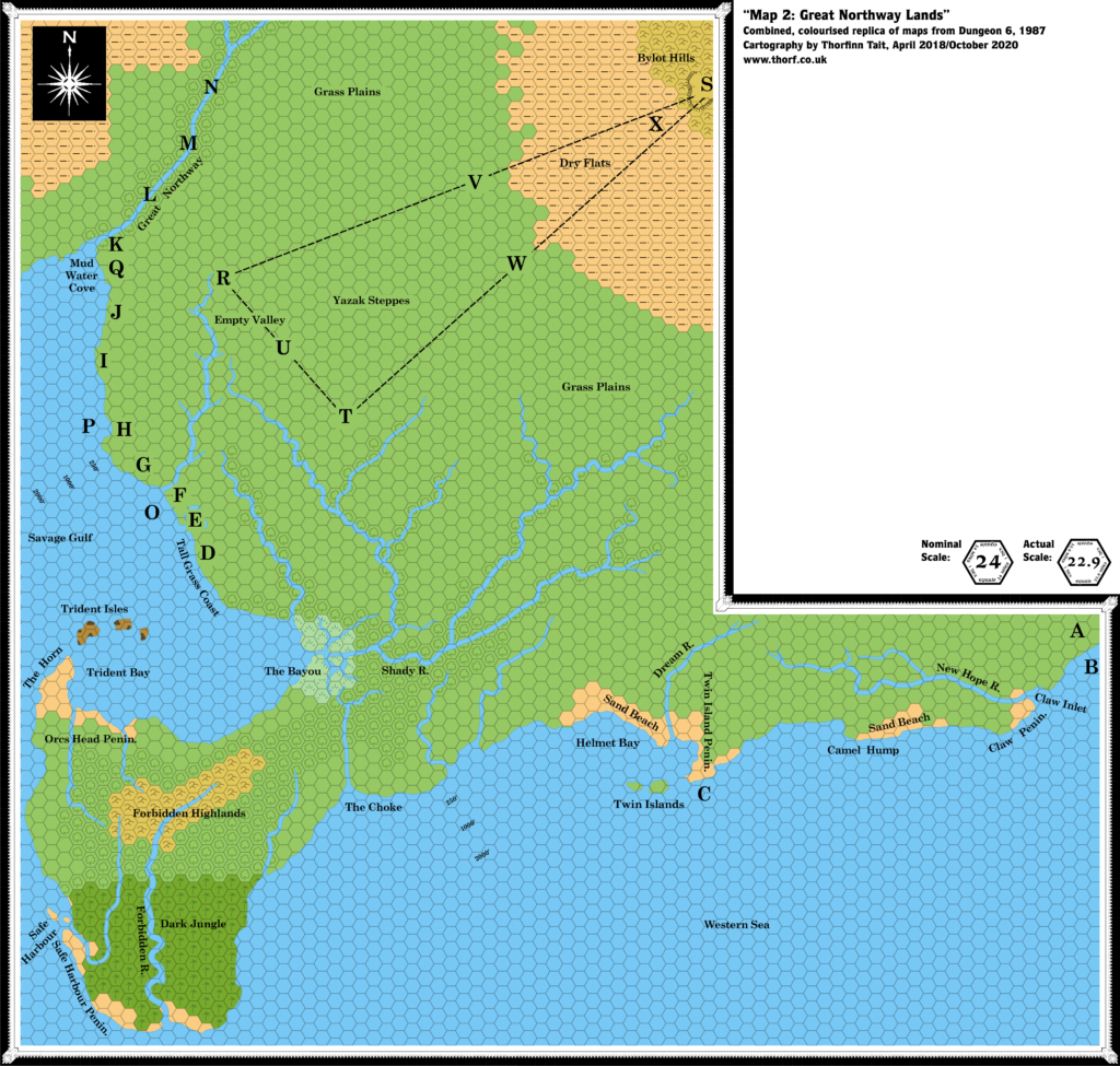
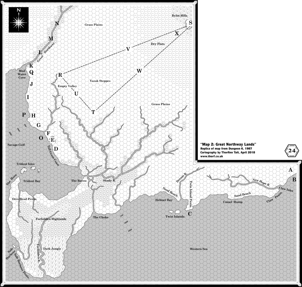
Dungeon 6 Great Northway Lands, 24 miles per hex
In Dungeon Issue #6, Merle Rasmussen expanded his design for the Savage Coast area (previously detailed in X9 The Savage Coast) into the adjacent northern lands. Christening these the Great Northway Lands, the adventure follows the search for ancestral tortle tribe egg-laying grounds, as well as the Great Northway River — which later came to be known as the Yalu River.
Since it’s based on X9’s map, this map is also scaled down slightly, and the nominal scale of 24 miles per hex is in fact more like 22.9 miles per hex. Part of the area was later covered in Red Steel and Savage Baronies — apparently with reference to this map — but unfortunately the maps do not fit together very well. In fact, this map’s depiction of Yalu Bay (here called the Savage Gulf) and its northern extent, the Mud Water Cove, doesn’t even fit perfectly with Brun’s continental map.
Replica Map (October 2020)
Sources
- Tortles of the Purple Sage — Part 1, Dungeon #6 (July 1987)
- Map 2: Great Northway Lands, pages 44-45
Chronological Analysis
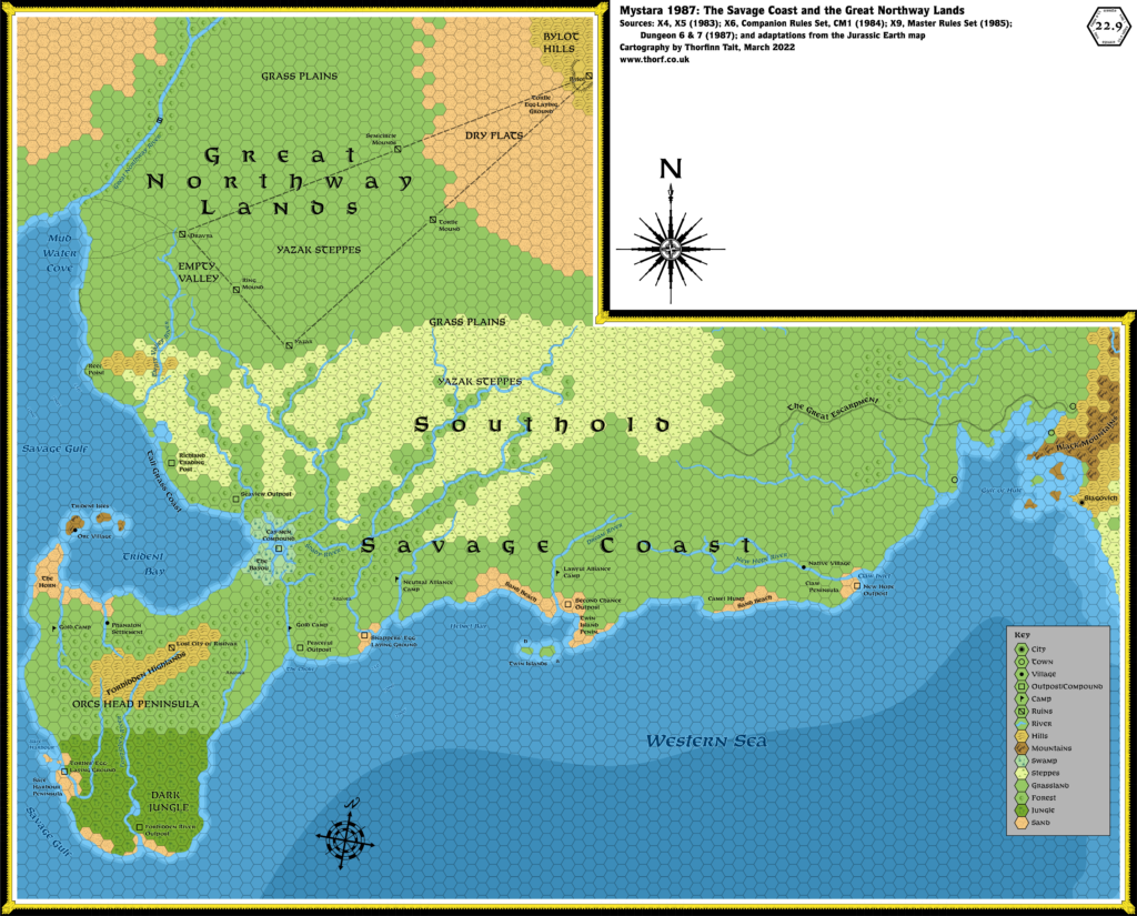
This is Map 60. It was published in July 1987. The updated version of this map has not yet been released. See also Appendix C for annual chronological snapshots of the area. For the full context of this map in Mystara’s publication history, see Let’s Map Mystara 1987.
The following lists are from the Let’s Map Mystara project. Additions are new features, introduced in this map. Revisions are changes to previously-introduced features. Hex Art & Fonts track design elements. Finally, Textual Additions are potential features found in the related text. In most cases, the Atlas adopts these textual additions into updated and chronological maps.
Additions
- Plateaus — A single plateau in the Bylot Hills, with a cliff facing southwest over the Yazak Steppes.
- Rivers — The northern parts of all the rivers north of the Shady River (except the Great Northway itself) are new.
- Settlements — Richland Trading Post was also marked on Dungeon 6’s Brun map, but gets a more precise location here. The Yazak Ruins.
- Terrain — The little inlet north of Richland was not present on previous maps. The forests along the rivers of the Yazak Steppes are mostly new here. In addition, there are various new named areas: Grass Plains (apparently a part of the Yazak Steppes?), Tall Grass Coast, Empty Valley, Mud Water Cove (at the mouth of the Great Northway), Dry Flats, and Sand Beach. While Merle Rasmussen’s place names were always on the descriptive side, these seem excessively so — Sand Beach in particular.
Revisions
- Rivers — The Great Northway, which first appeared on the Companion Brun map in 1984, at last gets a name. In addition, all of the rivers from X9 appear again but wider and with slightly offset courses. The difference is not great, though see also Additions above.
- Seas — The Savage Gulf, which previously appeared to refer to the straits between the Orc’s Head Peninsula and the Arm of the Immortals, has now been extended to include the whole large inland bay, with Trident Bay as a subset.
- Terrain — All terrain deriving from X9’s non-hex map of the Savage Coast is missing. Given this map’s unobtrusive use as the background for X9’s title pages, it’s unsurprising that it was overlooked. In any case, since it was likely unavailable for reference, the omission of its terrain details (such as the hills north of Richland) in this map is likely not deliberate. The Bylot Hills previously appeared on the edge of X5’s Hule map, and apparently stretch from here to there.
Hex Art & Fonts
- Symbols — Compass Rose (probably a Dungeon original).
- Fonts — Century Schoolbook (the standard Dungeon font of the time).

Textual Additions (Dungeon 6, 1987)
Under Construction! Please check back again soon for updates.
- Fauna — Skurge is “a marauding black whale stalking the Savage Gulf”. (Page 41) Aranea “live underground like intelligent trapdoor spiders” in the Grass Plains. Snappers “are intelligent shell-bearing relatives of the tortles” in the Savage Gulf.
- Factions — The region is contended by three factions: the Chaotic Sisterhood, the Neutral Alliance, and the Lawful Brotherhood. This is a continuation of the situation in X9. (Mentions throughout the adventure)
- Features — “Straight lines crossing the Yazak Steppes were used to guide ancient inhabitants between cities… They also intersect ancient ceremonial mounds.” Also, “The Portals to Everyland were created by an ancient Dravish magic-user. The key to operating a gate stone has something to do with tortles.” (Both page 41)
- History — “Long ago, a great earthquake destroyed many cities near the river. Sages believe the Great Northway’s course was changed by the quake…” (Page 41) Possibly related to this, there are said to be four “ancient and lost cities on Savage Coast lands.” (Page 41)
- Lining Up — The text states to “note that the eastern edge of Map 2 in this adventure connects with the western edge of the map of Hule, on page 31 of module X5. A section of the Savage Coast which connects with the southern edge of that map of Hule is found in the lower right hand corner of Map 2 in this adventure.” (Page 43) Unfortunately this link-up with X5 does not work like this, as X5’s map doesn’t extend far enough west.
- Rivers — The text provides a fair bit of detail on the rivers of the area.
- According to legend, the Great Northway is “a broad and mighty river which flows southward for thousands of miles through desolate grasslands. At its source, the legend says, lies the Spring of Good Health from which the waters of the river run rich with earth.” (Page 41) There are various other rumours about the waterway on this page, such as: “Along the river’s shores … live fierce, uneducated savages who pray for floods. During the floods, islands covered with animals float down the river into the sea.” This is expanded upon later on the page: “Annual flooding of the Great Northway replenishes the soil.”
- New Hope River is navigable, and “can be sailed for at least 150 miles inland”. (Page 43)
- Terrain — Each terrain feature has its own capsule description.
- Sand Beach — This hyper descriptive name in fact denotes most of the coastline of the Savage Coast, stretching “from the Gulf of Hule to Orcs Head Peninsula”. It is a “sandy, rolling stretch of land” that “extends as far inland as one can see from the shore”. “The sandy shore is dotted with tall grass which forms dunes. Over the crests, the dunes sprout shrubbery that forms a blanket of grass and bushes all the way north to the Yazak Steppes.” (All page 43)
- Tall Grass Coast — Noted as “uncivilized”, the location of Richland Trading Post. (Page 41)

