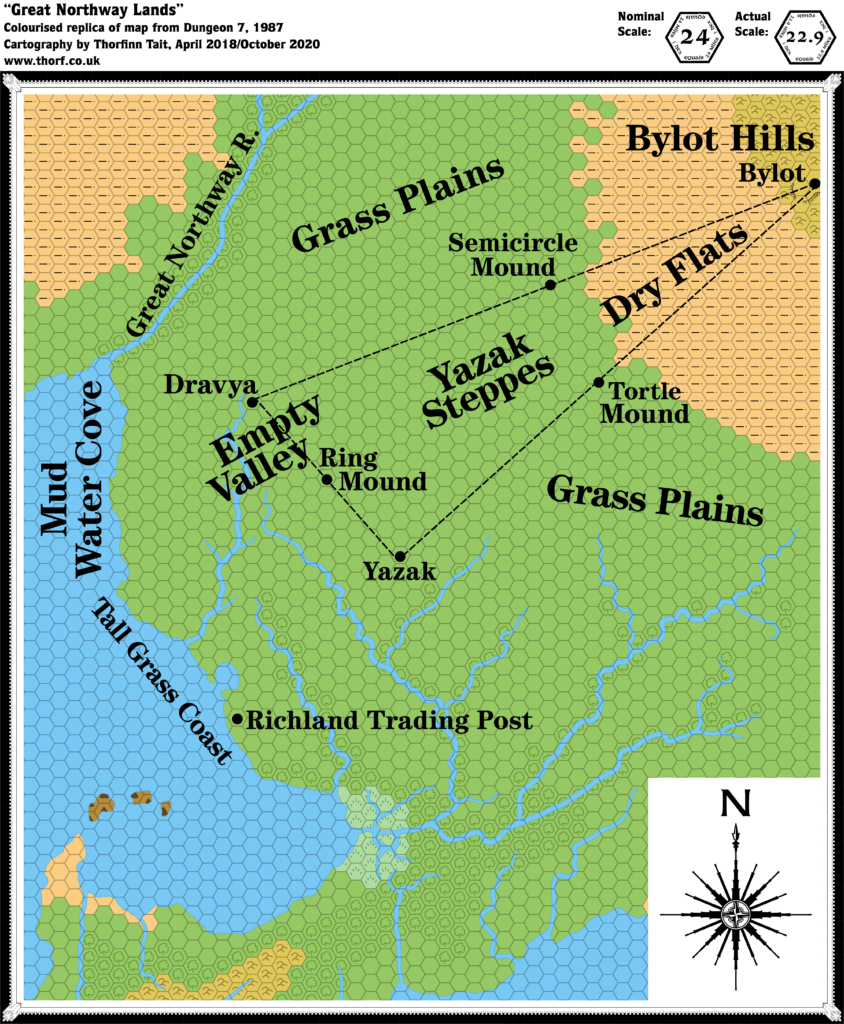
Dungeon 7 Great Northway Lands, 24 miles per hex
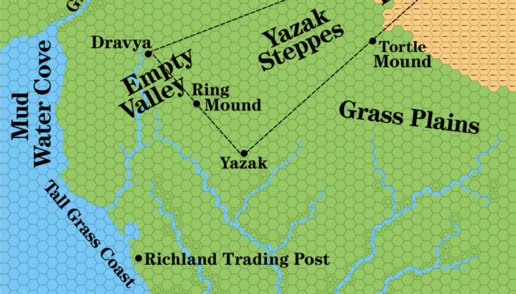
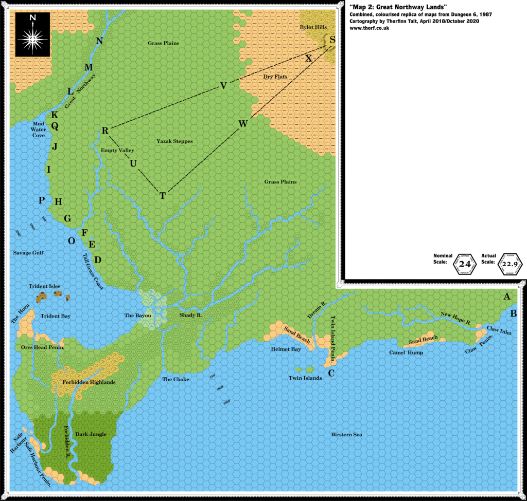
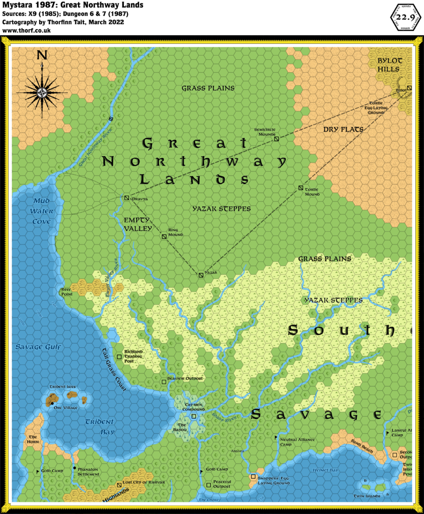
This map is mostly a reprise of the northern sections of Dungeon #6’s Great Northway Lands map, except that now there are labels.
The reproduction quality of the map left a lot to be desired, appearing to be a copy of a copy, with very faded art. As a result, the precise terrain is rather up for interpretation. As with the Savage Coast, it seems likely that much of the terrain here marked as clear plains hexes should actually be grasslands — and the later Red Steel maps indeed made this change.
Note: though labelled 24 miles per hex, this map was actually 22.9 miles per hex.
Replica Map (October 2020)
Sources
- Tortles of the Purple Sage — Part 2, Dungeon #7 (September 1987)
- Great Northway Lands, page 9 map (Cartography by Diesel)
Chronological Analysis
This is Map 66. It was published in September 1987. The updated version of this map has not yet been released. See also Appendix C for annual chronological snapshots of the area. For the full context of this map in Mystara’s publication history, see Let’s Map Mystara 1987.
The following lists are from the Let’s Map Mystara project. Additions are new features, introduced in this map. Revisions are changes to previously-introduced features. Hex Art & Fonts track design elements. Finally, Textual Additions are potential features found in the related text. In most cases, the Atlas adopts these textual additions into updated and chronological maps.
Under Construction! Please check back again soon for updates.

