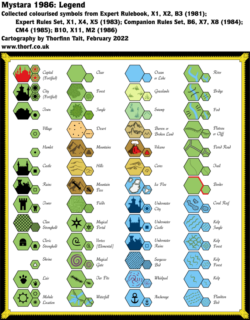
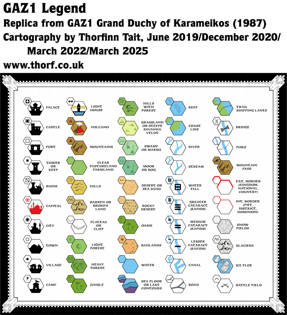
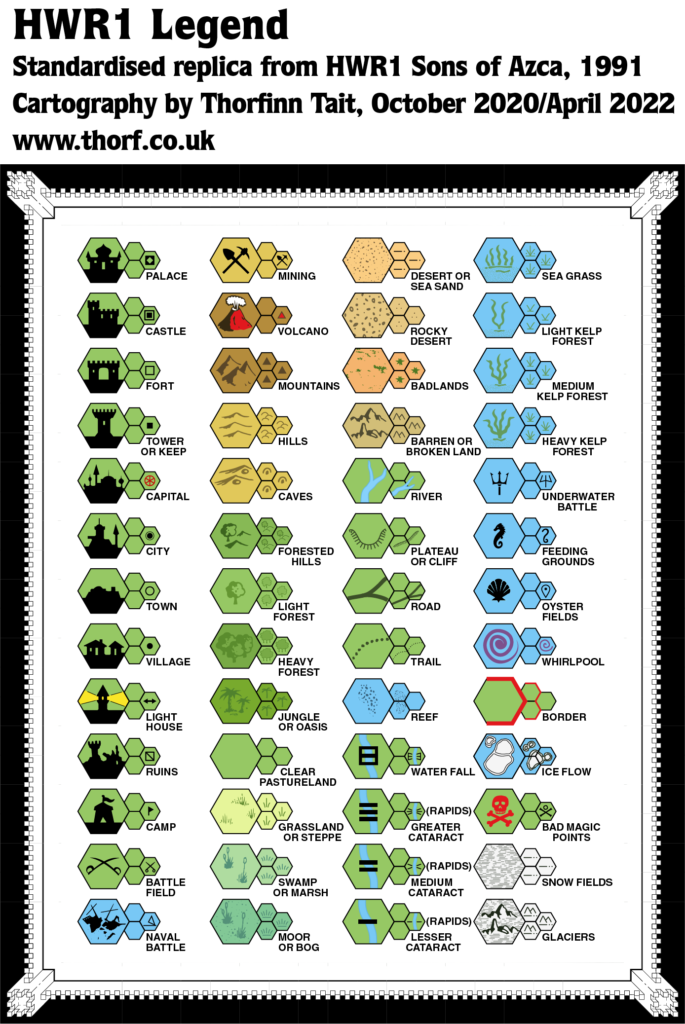
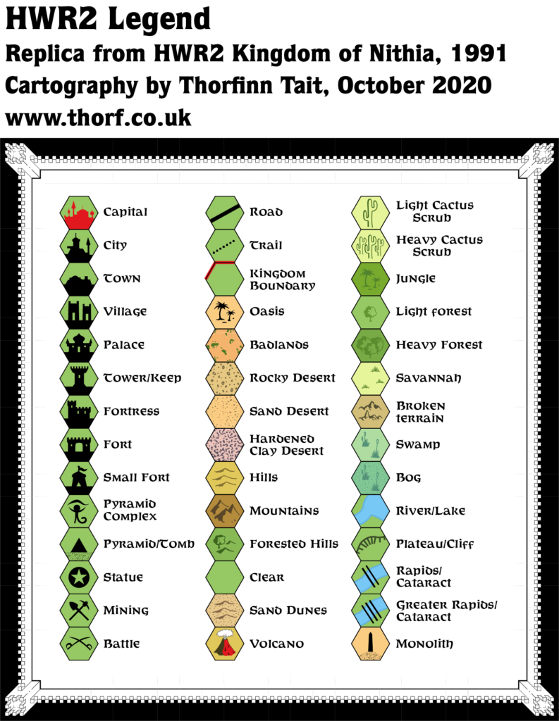
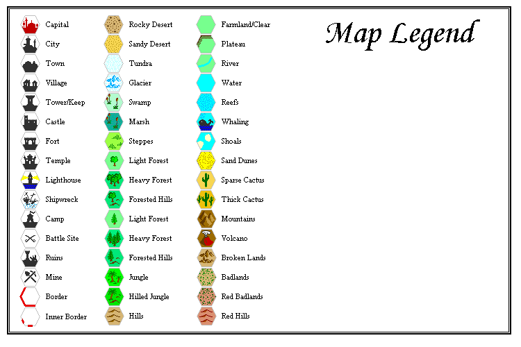
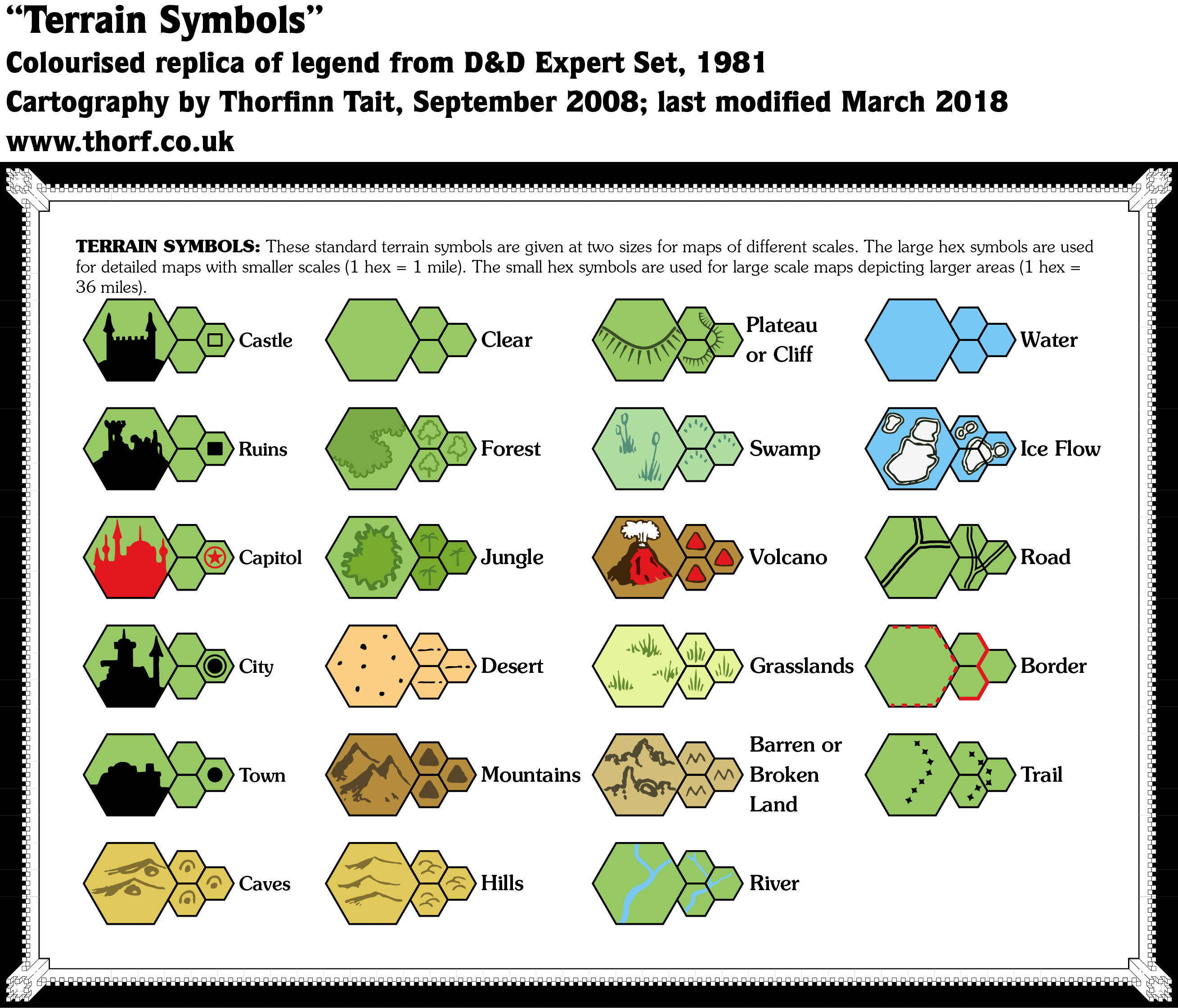
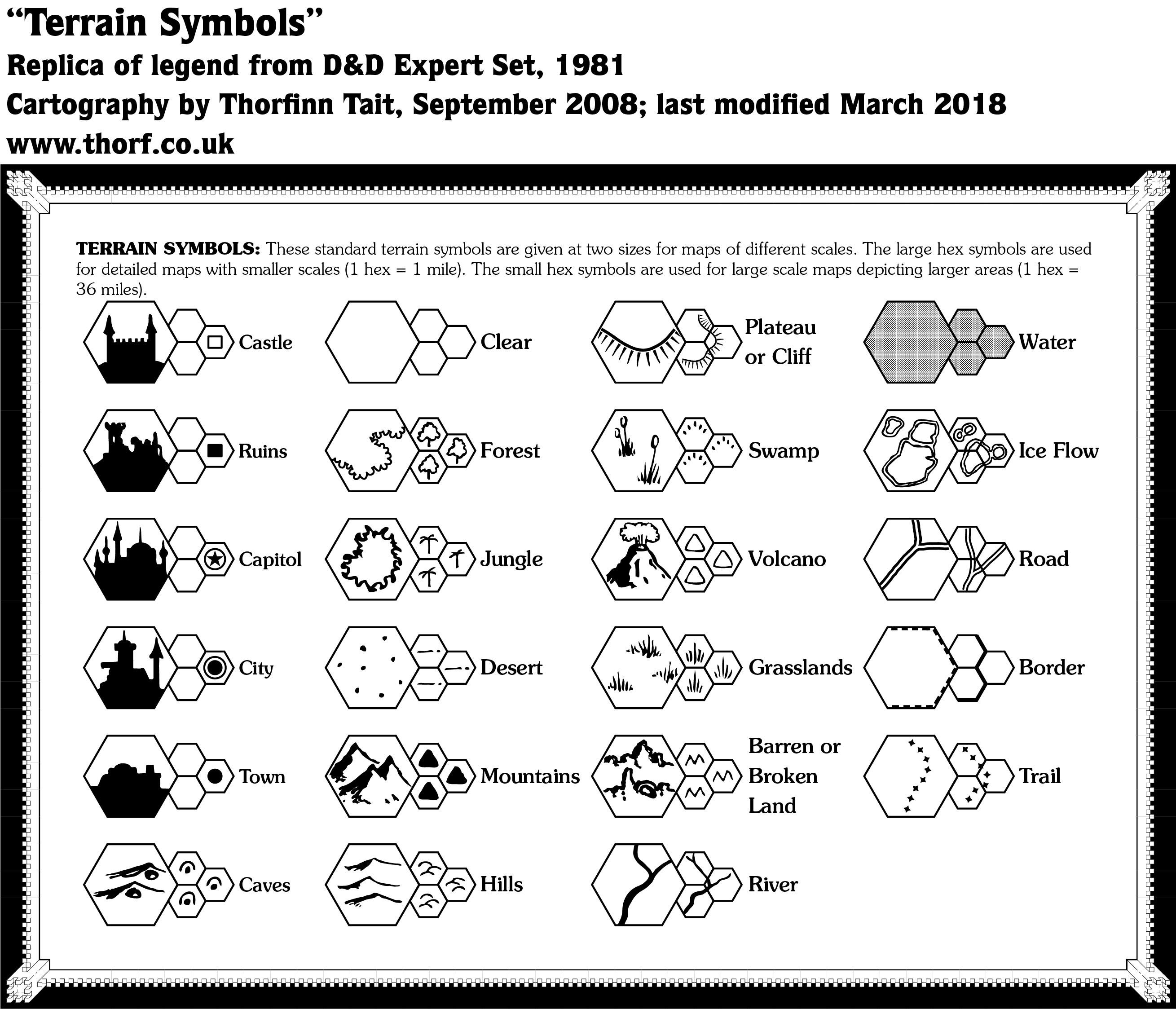
Expert Set (1981) Legend
It would be another six years until GAZ1 revolutionised Mystaran cartography with its full colour poster map filled with detailed hex art. And yet, the original Expert Rulebook (1981) presented many of those iconic hexes right at the world’s inception. They appeared in black and white, of course, and none of them would be used until 1987, but the designs were already in place, and even published.
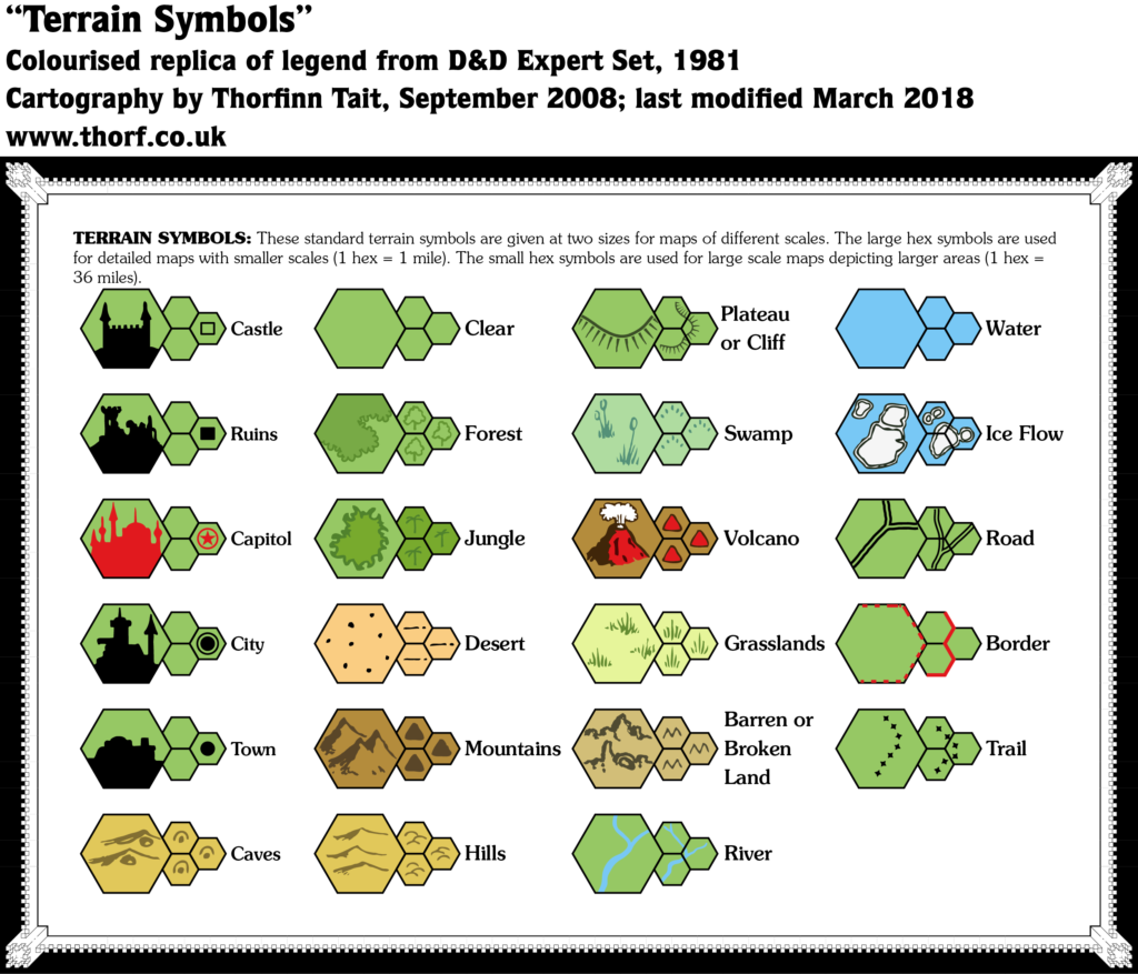
The text on this legend perpetuates an unfortunate but very common misconception regarding scale by getting “large” and “small” scales the wrong way round. 1 mile per hex is large scale, while 36 mile per hex would be small scale. This is also the only mention of the 36 mile per hex scale in any official product, and there are no maps made to that scale.
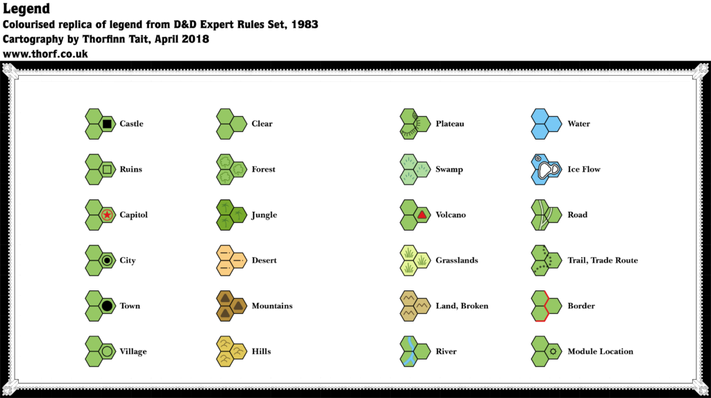
Replica Map (May 2018)
Sources
- Expert Rulebook (1981) (PDF at DriveThruRPG)
- “The Grand Duchy of Karameikos”, page X62
Chronological Analysis
This Legend falls between Maps 4 and 5 in the chronology. It was published in 1981. For the full context in Mystara’s publication history, see Let’s Map Mystara 1981-1982.
The following lists are from the Let’s Map Mystara project. Additions are new features, introduced in this map. Revisions are changes to previously-introduced features. Hex Art & Fonts track design elements. Finally, Textual Additions are potential features found in the related text. In most cases, the Atlas adopts these textual additions into updated and chronological maps.
Hex Art & Fonts
- Fonts— Souvenir
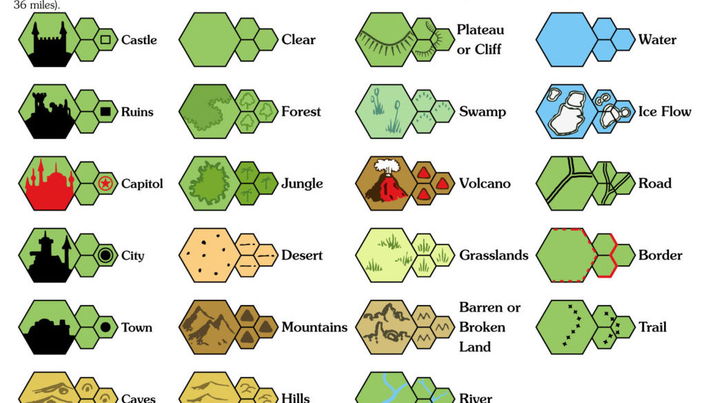
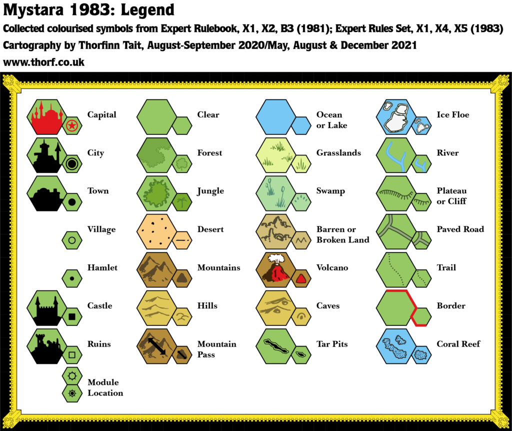
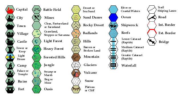
- New Symbols— large scale: Castle, Ruins, Capital (spelt “Capitol”), City, Town, Caves, Forest and Jungle (not yet hex icons but rather freeform shapes), Desert, Mountains, Hills, Plateau or Cliff (freeform lines with perpendicular lines showing the slope), Swamp, Volcano, Grasslands, Barren or Broken Land, and Ice Floe (spelt “Flow”).

Join in the Discussion at The Piazza
Come and join in the discussion about this map at The Piazza, where I am holding a “read through” of the Let’s Map Mystara project.

