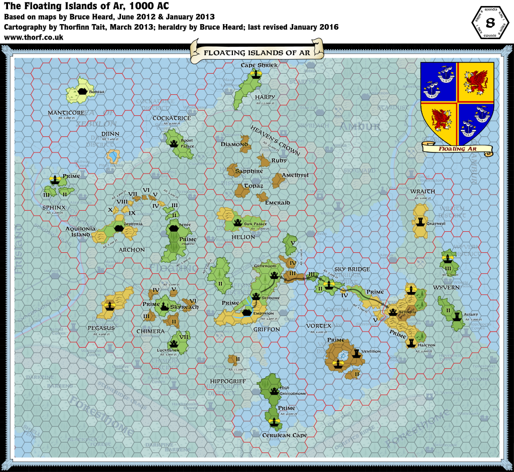
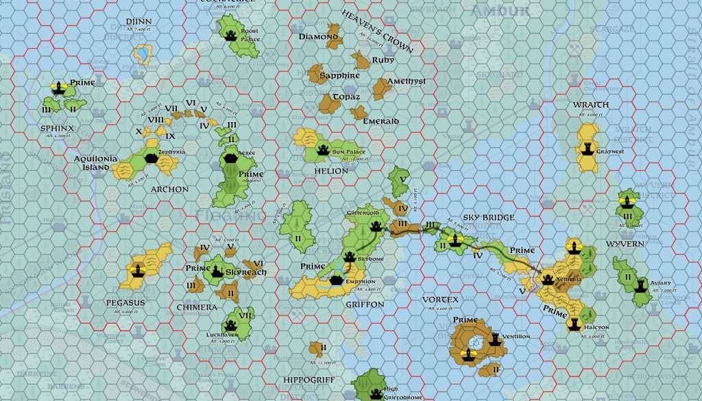
Floating Ar, 8 miles per hex
More than fifty permanent islands occupy the kingdom’s sky. This does not account for scores of small monoliths levitating around them. These include manor houses, towers, castles, and ruins on rocks long abandoned by their makers, anywhere from a few hundred feet above the surface to at least 30,000 ft. The latter remain exclusive hideouts of anti-social, snobbish mages yearning to rise higher than the rest. Some islands are continually shrouded in clouds, suggesting tales of storm giants living in the skies.
from Bruce Heard’s The Alphatian Province of Ar
Map (updated 12th January 2016)

Sources
- The Empire of Alphatia, 24 mile per hex poster map from Dawn of the Emperors (1989)
- Floating Ar, 8 mile per hex map by Bruce Heard
Notes
As with all his Alphatia 8 mile per hex maps, Bruce Heard added a great deal of detail and character to the region when converting from 24 miles per hex. The Atlas considers Bruce’s map to be the definitive source for Floating Ar.


24 January 2021 @ 7:30 am
If you ever update Floating Ar (the islands in the air) it would be a small improvement to make it the same size (number of hexes vertical and horizontal) as the Ar and Ambur map (I know the originals are not the same size). While the transparent ground below the floating islands in the Floating Ar map is super handy, there are destinations in Ar (ground) not shown on the Floating Ar map, like city of Grand Conjunction, as it is about 3 hexes off the top of the Floating Ar map.